


How to get from Cocuite (Veracruz) to Temapache (Veracruz)
Calculate route from Cocuite (Veracruz, Mexico) to Temapache (Veracruz, Mexico).
The flight distance (as the crow flies) between Cocuite and Temapache is 355.2 km.
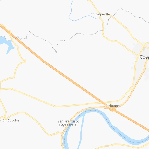
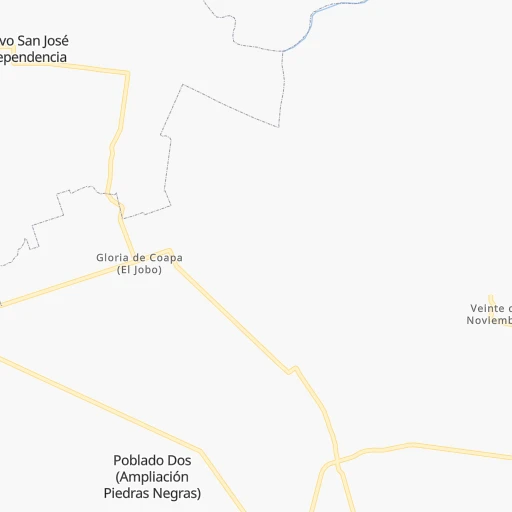
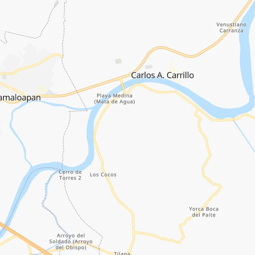
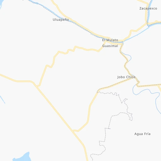
Roadmap (route) to go from Cocuite to Temapache detailed above, you can also see the course layout on the map.
While doing trip Cocuite - Temapache by car, the calculated route ends at a distance , or more straight.
Distance and duration of the route between Cocuite and Temapache
Calculation of distance and route from Temapache to Cocuite :
355.2410.1 km5h16mn
Continue 0h0mn 49 mTurn sharp left 0h3mn 2.4 kmTurn right 0h6mn 5.2 kmTurn right 0h1mn 571 mTurn right onto Autopista La Tinaja - Acayucan 0h4mn 7.0 kmTurn right 0h4mn 2.1 kmTurn left 0h0mn 135 mTurn right 0h12mn 6.2 kmTurn slight left 0h7mn 6.9 kmTurn right 0h13mn 13.1 kmTurn left onto Carretera Ignacio de la Llave - Camarón 0h3mn 2.7 kmKeep right 0h2mn 1.3 kmTurn right onto Calle Venustiano Carranza 0h0mn 100 mTurn left onto Calle Emiliano Zapata 0h3mn 2.6 kmTurn right onto Calle Isabel La Católica 0h0mn 95 mTurn left onto Calle Miguel Alemán 0h4mn 3.1 kmTurn right onto Calle Miguel Alemán 0h2mn 1.5 kmTurn left onto Calle Ignacio de La Llave 0h0mn 122 mTurn right onto VER 0h1mn 1.1 kmTurn left onto VER 0h0mn 130 mTurn right onto VER 0h6mn 5.5 kmTurn left onto VER 0h0mn 96 mTurn right onto VER 0h7mn 7.3 kmTurn right onto Calle Benito Juárez 0h0mn 174 mTurn left 0h0mn 93 mTurn right onto Calle Constitución 0h0mn 12 mTurn left onto Calle Francisco I. Madero 0h17mn 19.6 kmKeep left onto Ent. La Laguna - Ent. El Callejón 0h0mn 36 mTurn left onto Carretera Costera del Golfo 0h26mn 39.3 kmTurn slight right onto MEX 180 0h0mn 99 mKeep right 0h12mn 19.3 kmKeep right onto Carr. Costera del Golfo 1h40mn 46.6 kmKeep left onto Autopista Poza Rica - Cardel 2h41mn 161.5 kmKeep right and take MEX 182D toward Tuxpan 0h1mn 711 mContinue onto Tihuatlán - Túxpam 0h12mn 19.8 kmKeep left onto MEX 180D 0h0mn 134 mContinue onto Autopista Tuxpan - Tampico 0h7mn 10.6 kmKeep right 0h1mn 640 mKeep right onto Carr. Costera del Golfo 0h0mn 73 mTurn slight right onto Carretera Federal Tuxpan - Tampico 0h19mn 21.9 kmTurn right 0h1mn 256 mTurn left onto 20 de Noviembre 0h0mn 44 mArrive at destination 0h0mn 0 m
Travel from Cocuite (Veracruz) to a selection of major cities.
Distances from Cocuite to biggest cities in Veracruz
- Tlapacoyan,33,667 inhabitants.229 km
- Perote,32,559 inhabitants.198 km
- Coatzintla,30,607 inhabitants.292 km
- Huatusco,29,387 inhabitants.146 km
- Cosamaloapan,28,768 inhabitants.10 km
- Nanchital de Lazaro Cardenas del Rio,25,982 inhabitants.159 km
- La Isla,24,558 inhabitants.41 km
- Catemaco,24,257 inhabitants.82 km
- Ixtaczoquitlan,23,522 inhabitants.137 km
- Misantla,23,242 inhabitants.205 km
- Alamo,22,740 inhabitants.343 km
- Alvarado,21,518 inhabitants.51 km
- Allende,21,398 inhabitants.159 km
- Fortin de las Flores,21,370 inhabitants.134 km
- Cosoleacaque,20,371 inhabitants.137 km
Other major cities in country :
- Aguascalientes [01], 658,179 inhabitants. 777 km
- Acapulco de Juarez [12], 652,136 inhabitants. 458 km
- Coyoacan [09], 628,063 inhabitants. 363 km
- Santiago de Queretaro [22], 626,495 inhabitants. 535 km
- Saltillo [07], 621,250 inhabitants. 950 km
- Tlalpan [09], 607,545 inhabitants. 361 km
- Mexicali [02], 597,099 inhabitants. 2,522 km
- Hermosillo [26], 595,811 inhabitants. 1,947 km
- Morelia [16], 592,797 inhabitants. 578 km
- Cancun [23], 542,043 inhabitants. 998 km
- Santa Maria Chimalhuacan [15], 525,389 inhabitants. 345 km
- Torreon [07], 524,066 inhabitants. 1,117 km
- Cuauhtemoc [09], 521,348 inhabitants. 365 km
- Ciudad Lopez Mateos [15], 521,034 inhabitants. 380 km
- Toluca [15], 505,881 inhabitants. 411 km
- Reynosa [28], 498,654 inhabitants. 898 km
- Tlaquepaque [14], 493,646 inhabitants. 819 km
- Tuxtla [05], 481,128 inhabitants. 342 km
- Cuautitlan Izcalli [15], 475,179 inhabitants. 380 km
- Victoria de Durango [10], 457,140 inhabitants. 1,109 km
Route from Temapache to major cities (Mexico).
- Distance Temapache Mexico City239 km
- Distance Temapache Iztapalapa241 km
- Distance Temapache Ecatepec de Morelos220 km
- Distance Temapache Guadalajara600 km
- Distance Temapache Puebla233 km
- Distance Temapache Juarez1,475 km
- Distance Temapache Tijuana2,301 km
- Distance Temapache Ciudad Nezahualcoyotl234 km
- Distance Temapache Gustavo Adolfo Madero233 km
- Distance Temapache Monterrey581 km
- Distance Temapache Leon de los Aldama419 km
- Distance Temapache Zapopan598 km
- Distance Temapache Naucalpan de Juarez243 km
- Distance Temapache Chihuahua1,198 km
- Distance Temapache Alvaro Obregon250 km
- Distance Temapache Guadalupe579 km
- Distance Temapache Merida834 km
- Distance Temapache Tlalnepantla235 km
- Distance Temapache San Luis Potosi366 km
- Distance Temapache Culiacan1,081 km
Nearest cities to Cocuite :
- Puebla, 1,590,256 inhabitants. 257 km
- Veracruz, 568,313 inhabitants. 99 km
- Tuxtla, 481,128 inhabitants. 342 km
- Xalapa de Enriquez, 425,148 inhabitants. 172 km
- Villahermosa, 362,401 inhabitants. 315 km
- Ixtapaluca, 351,001 inhabitants. 334 km
- Pachuca de Soto, 319,581 inhabitants. 359 km
- Oaxaca, 262,566 inhabitants. 166 km
- Tehuacan, 241,429 inhabitants. 160 km
- Coatzacoalcos, 230,717 inhabitants. 154 km
- Poza Rica de Hidalgo, 174,526 inhabitants. 296 km
- Cholula, 151,667 inhabitants. 268 km
- Minatitlan, 150,895 inhabitants. 145 km
- Cordoba, 134,403 inhabitants. 126 km
- Tuxpam de Rodriguez Cano, 134,394 inhabitants. 333 km
- Orizaba, 121,348 inhabitants. 141 km
- Texcoco de Mora, 115,378 inhabitants. 342 km
- Tulancingo, 102,383 inhabitants. 325 km
- Temapache, 101,558 inhabitants. 356 km
- Martinez de la Torre, 100,377 inhabitants. 230 km
- Tuxtepec, 92,121 inhabitants. 37 km
- Atlixco, 85,891 inhabitants. 277 km
- Cardenas, 85,350 inhabitants. 268 km
- Tlaxcala, 84,670 inhabitants. 267 km
- San Andres Cholula, 80,118 inhabitants. 266 km
- Amozoc de Mota, 77,106 inhabitants. 241 km
- San Martin Texmelucan de Labastida, 75,903 inhabitants. 289 km
- Chiautla, 73,696 inhabitants. 343 km
- Salina Cruz, 73,648 inhabitants. 251 km
- Teziutlan, 70,819 inhabitants. 227 km
- Juchitan de Zaragoza, 67,637 inhabitants. 230 km
- Santa Cruz Xoxocotlan, 61,846 inhabitants. 170 km
- San Andres Tuxtla, 55,697 inhabitants. 72 km
- Villa Vicente Guerrero, 52,591 inhabitants. 256 km
- Huauchinango, 49,852 inhabitants. 307 km
- Coatepec, 48,453 inhabitants. 169 km
- Santa Ana Chiautempan, 48,322 inhabitants. 269 km
- Papantla de Olarte, 47,958 inhabitants. 280 km
- Ciudad de Huajuapan de Leon, 47,844 inhabitants. 209 km
- Acayucan, 46,990 inhabitants. 111 km
- Apizaco, 46,459 inhabitants. 267 km
- Huamantla, 45,903 inhabitants. 241 km
- San Buenaventura, 44,761 inhabitants. 332 km
- Izucar de Matamoros, 42,936 inhabitants. 274 km
- Comalcalco, 40,992 inhabitants. 281 km
- Las Choapas, 40,304 inhabitants. 195 km
- Huejutla de Reyes, 40,015 inhabitants. 410 km
- Rio Blanco, 39,543 inhabitants. 145 km
- Loma Bonita, 39,166 inhabitants. 25 km
- Zacatelco, 38,466 inhabitants. 267 km
Location Cocuite (Veracruz) :
| Country flag |  |
| Location | Cocuite |
| State | Veracruz |
| County | Cosamaloapan de Carpio |
| Country | Mexico |
| Country code / ISO 2 | MX |
| Latitude | 18.3298900 |
| Longitude | -95.8863700 |
| Altitude | 0 meters |
| Time zone | America/Mexico_City |
Location Temapache (Veracruz) :
| Country flag | |
| Location | Temapache |
| State | Veracruz |
| County | Álamo Temapache |
| Country | Mexico |
| Country code / ISO 2 | MX |
| Latitude | 21.0661100 |
| Longitude | -97.6420700 |
| Altitude | 0 meters |
| Time zone | America/Mexico_City |