
How to get from Groenebloem (Orange Free State) to Mabopane (Gauteng)
Calculate route from Groenebloem (Orange Free State, South Africa) to Mabopane (Gauteng, South Africa).
The flight distance (as the crow flies) between Groenebloem and Mabopane is 225.8 km.
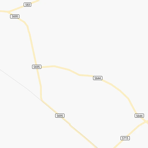
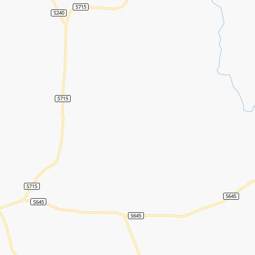
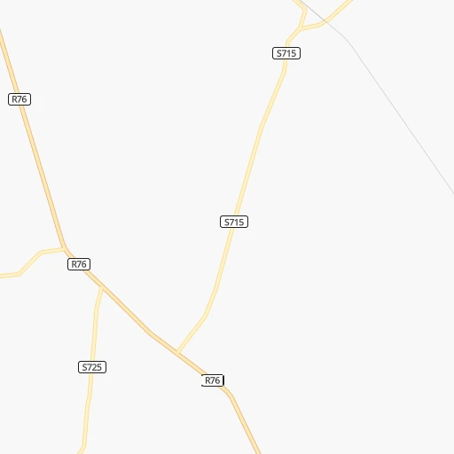
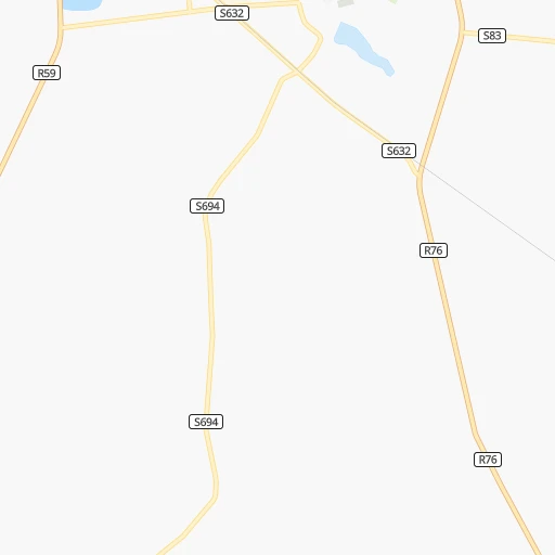
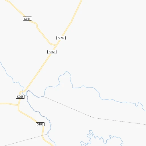
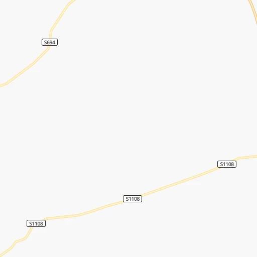
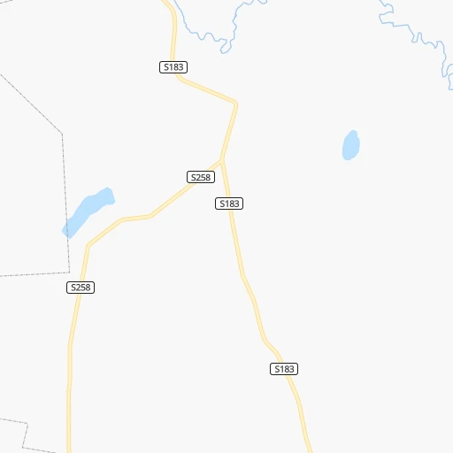
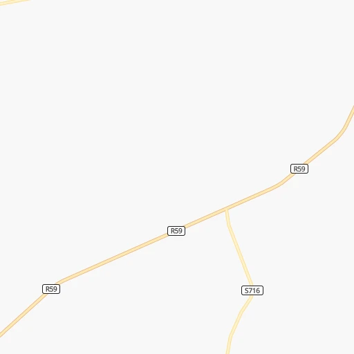
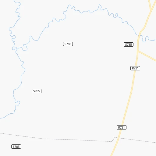
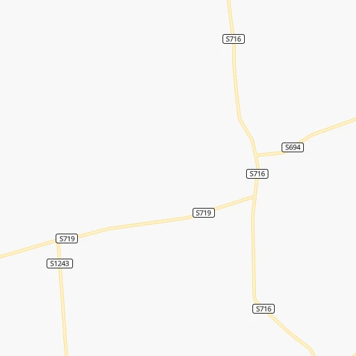
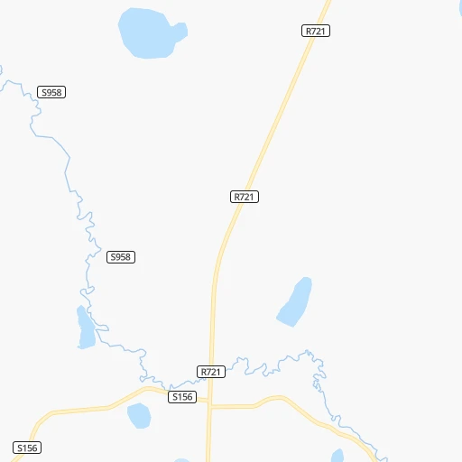
Roadmap (route) to go from Groenebloem to Mabopane detailed above, you can also see the course layout on the map.
While doing trip Groenebloem - Mabopane by car, the calculated route ends at a distance , or more straight.
Distance and duration of the route between Groenebloem and Mabopane
Calculation of distance and route from Mabopane to Groenebloem :
225.8269.8 km4h50mn
Continue onto S695 0h1mn 436 mTurn sharp left onto S715 0h9mn 4.6 kmTurn left onto S715 0h13mn 6.4 kmKeep right onto S715 0h24mn 12.1 kmTurn right onto S83 0h5mn 2.6 kmTurn left onto S641 0h2mn 1.1 kmKeep right onto S949 0h6mn 3.1 kmTurn right onto R59 0h25mn 28.0 kmKeep left 0h13mn 14.0 kmKeep left 0h0mn 55 mTurn slight left onto Loop Street 0h17mn 18.5 kmTurn left and take N1 toward Johannesburg 1h42mn 74.1 kmKeep left onto Southern Bypass 0h2mn 3.2 kmKeep left and take M1 toward Johannesburg 1h39mn 62.4 kmKeep left 0h1mn 1.4 kmKeep left 0h1mn 810 mTurn left onto Visagie Street 0h1mn 650 mContinue onto Es'kia Mphahlele Drive 0h5mn 5.0 kmKeep left and take R80 toward Soshanguve 0h19mn 28.0 kmTurn right onto Buitekant Road 0h2mn 1.8 kmTurn right 0h3mn 1.3 kmTurn right 0h0mn 52 mTurn sharp left 0h0mn 132 mArrive at destination 0h0mn 0 m
Travel from Groenebloem (Gauteng) to a selection of major cities.
Distances from Groenebloem to biggest cities in Orange Free State
Other major cities in country :
- Centurion [06], 233,386 inhabitants. 196 km
- Uitenhage [05], 228,912 inhabitants. 736 km
- Roodepoort [06], 225,000 inhabitants. 151 km
- Paarl [11], 190,000 inhabitants. 1,054 km
- Springs [06], 186,394 inhabitants. 178 km
- Carletonville [06], 182,304 inhabitants. 110 km
- Klerksdorp [10], 178,921 inhabitants. 62 km
- Midrand [06], 173,009 inhabitants. 181 km
- Westonaria [06], 156,831 inhabitants. 124 km
- Middelburg [07], 154,706 inhabitants. 295 km
- Vryheid [02], 150,012 inhabitants. 374 km
- Orkney [10], 145,801 inhabitants. 51 km
- Kimberley [08], 142,089 inhabitants. 275 km
- eMbalenhle [07], 141,741 inhabitants. 218 km
- Nigel [06], 140,644 inhabitants. 172 km
- Mpumalanga [02], 140,121 inhabitants. 450 km
- Bhisho [05], 137,287 inhabitants. 619 km
- Randfontein [06], 133,654 inhabitants. 140 km
- Worcester [11], 127,597 inhabitants. 1,015 km
- Rustenburg [10], 124,064 inhabitants. 182 km
Route from Mabopane to major cities (South Africa).
- Distance Mabopane Cape Town1,324 km
- Distance Mabopane Durban565 km
- Distance Mabopane Port Elizabeth972 km
- Distance Mabopane Pietermaritzburg511 km
- Distance Mabopane East London837 km
- Distance Mabopane Bloemfontein444 km
- Distance Mabopane Welkom308 km
- Distance Mabopane Newcastle311 km
- Distance Mabopane Botshabelo441 km
- Distance Mabopane Witbank121 km
- Distance Mabopane Richards Bay535 km
- Distance Mabopane Uitenhage956 km
- Distance Mabopane Paarl1,272 km
- Distance Mabopane Klerksdorp208 km
- Distance Mabopane Middelburg140 km
- Distance Mabopane Vryheid368 km
- Distance Mabopane Orkney218 km
- Distance Mabopane Kimberley489 km
- Distance Mabopane eMbalenhle150 km
- Distance Mabopane Mpumalanga541 km
Nearest cities to Groenebloem :
- Johannesburg, 2,026,469 inhabitants. 157 km
- Soweto, 1,695,047 inhabitants. 140 km
- Pretoria, 1,619,438 inhabitants. 207 km
- Benoni, 605,344 inhabitants. 177 km
- Tembisa, 511,655 inhabitants. 187 km
- Vereeniging, 474,681 inhabitants. 112 km
- Bloemfontein, 463,064 inhabitants. 219 km
- Boksburg, 445,168 inhabitants. 171 km
- Welkom, 431,944 inhabitants. 82 km
- Newcastle, 404,838 inhabitants. 290 km
- Krugersdorp, 378,821 inhabitants. 153 km
- Diepsloot, 350,000 inhabitants. 180 km
- Randburg, 337,053 inhabitants. 164 km
- Botshabelo, 309,714 inhabitants. 222 km
- Brakpan, 305,692 inhabitants. 177 km
- Witbank, 262,491 inhabitants. 270 km
- Vanderbijlpark, 246,754 inhabitants. 102 km
- Centurion, 233,386 inhabitants. 196 km
- Roodepoort, 225,000 inhabitants. 151 km
- Springs, 186,394 inhabitants. 178 km
- Carletonville, 182,304 inhabitants. 110 km
- Klerksdorp, 178,921 inhabitants. 62 km
- Midrand, 173,009 inhabitants. 181 km
- Westonaria, 156,831 inhabitants. 124 km
- Middelburg, 154,706 inhabitants. 295 km
- Orkney, 145,801 inhabitants. 51 km
- Kimberley, 142,089 inhabitants. 275 km
- eMbalenhle, 141,741 inhabitants. 218 km
- Nigel, 140,644 inhabitants. 172 km
- Randfontein, 133,654 inhabitants. 140 km
- Rustenburg, 124,064 inhabitants. 182 km
- Potchefstroom, 123,669 inhabitants. 65 km
- Virginia, 122,502 inhabitants. 92 km
- Brits, 122,497 inhabitants. 199 km
- Alberton, 121,536 inhabitants. 157 km
- Kroonstad, 103,992 inhabitants. 44 km
- Bethal, 101,919 inhabitants. 258 km
- Mabopane, 97,417 inhabitants. 226 km
- Kutloanong, 95,008 inhabitants. 66 km
- Stilfontein, 93,110 inhabitants. 57 km
- Delmas, 92,046 inhabitants. 207 km
- Warmbaths, 90,210 inhabitants. 296 km
- Phuthaditjhaba, 84,258 inhabitants. 222 km
- Bethlehem, 83,654 inhabitants. 162 km
- Sasolburg, 77,016 inhabitants. 94 km
- Mmabatho, 76,754 inhabitants. 213 km
- Standerton, 74,021 inhabitants. 222 km
- Bothaville, 71,934 inhabitants. 43 km
- Parys, 71,319 inhabitants. 60 km
- Schweizer-Reneke, 70,214 inhabitants. 170 km
Location Groenebloem (Orange Free State) :
| Country flag |  |
| Location | Groenebloem |
| State | Orange Free State |
| County | Fezile Dabi District Municipality |
| Country | South Africa |
| Country code / ISO 2 | ZA |
| Latitude | -27.2950000 |
| Longitude | 27.0412300 |
| Altitude | 0 meters |
| Time zone | Africa/Johannesburg |
Location Mabopane (Gauteng) :
| Country flag | |
| Location | Mabopane |
| State | Gauteng |
| County | City of Tshwane Metropolitan Municipality |
| Country | South Africa |
| Country code / ISO 2 | ZA |
| Latitude | -25.4976800 |
| Longitude | 28.1006500 |
| Altitude | 0 meters |
| Time zone | Africa/Johannesburg |