
How to get from Harrismith (Orange Free State) to Kroonstad (Orange Free State)
Calculate route from Harrismith (Orange Free State, South Africa) to Kroonstad (Orange Free State, South Africa).
The flight distance (as the crow flies) between Harrismith and Kroonstad is 197.0 km.
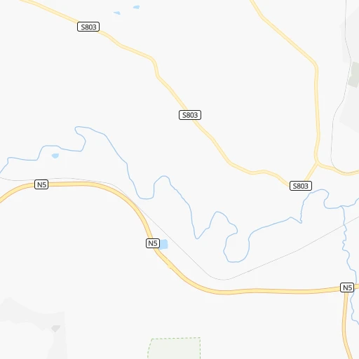
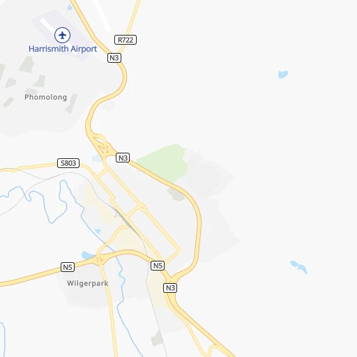
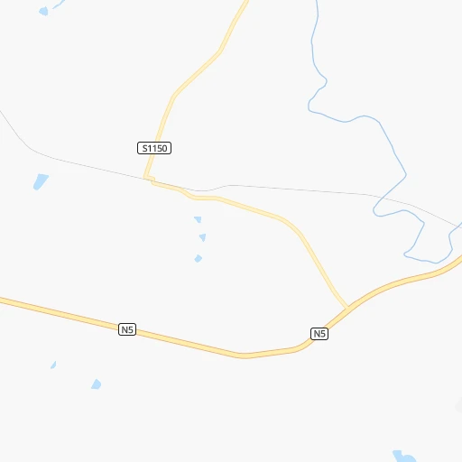
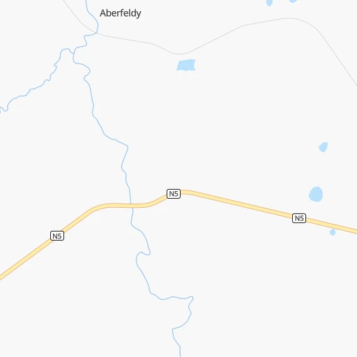
Roadmap (route) to go from Harrismith to Kroonstad detailed above, you can also see the course layout on the map.
While doing trip Harrismith - Kroonstad by car, the calculated route ends at a distance , or more straight.
Distance and duration of the route between Harrismith and Kroonstad
Calculation of distance and route from Kroonstad to Harrismith :
197.0232.2 km3h8mn
Continue onto Percy Street 0h1mn 463 mTurn right onto McKechnie Street 0h1mn 829 mTurn right onto Cloete Street 0h2mn 1.4 kmTurn right and take N5 toward Bethlehem 1h6mn 88.3 kmKeep left toward N5 0h1mn 1.2 kmTurn right onto Commissioner Street 0h2mn 1.8 kmTurn right onto Atbara Road 2h51mn 134.2 kmAt roundabout, take exit 2 onto South Road 0h1mn 597 mAt roundabout, take exit 2 onto South Road 0h1mn 614 mAt roundabout, take exit 2 onto Cross Street 0h2mn 2.2 kmTurn right onto Slabbert Street 0h1mn 310 mTurn left onto Allan Street 0h0mn 250 mTurn left onto Gowlett Street 0h0mn 61 mArrive at destination 0h0mn 0 m
Travel from Harrismith (Orange Free State) to a selection of major cities.
Distances from Harrismith to biggest cities in Orange Free State
Other major cities in country :
- Centurion [06], 233,386 inhabitants. 283 km
- Uitenhage [05], 228,912 inhabitants. 707 km
- Roodepoort [06], 225,000 inhabitants. 265 km
- Paarl [11], 190,000 inhabitants. 1,142 km
- Springs [06], 186,394 inhabitants. 235 km
- Carletonville [06], 182,304 inhabitants. 272 km
- Klerksdorp [10], 178,921 inhabitants. 289 km
- Midrand [06], 173,009 inhabitants. 272 km
- Westonaria [06], 156,831 inhabitants. 261 km
- Middelburg [07], 154,706 inhabitants. 280 km
- Vryheid [02], 150,012 inhabitants. 174 km
- Orkney [10], 145,801 inhabitants. 280 km
- Kimberley [08], 142,089 inhabitants. 429 km
- eMbalenhle [07], 141,741 inhabitants. 193 km
- Nigel [06], 140,644 inhabitants. 214 km
- Mpumalanga [02], 140,121 inhabitants. 227 km
- Bhisho [05], 137,287 inhabitants. 535 km
- Randfontein [06], 133,654 inhabitants. 271 km
- Worcester [11], 127,597 inhabitants. 1,099 km
- Rustenburg [10], 124,064 inhabitants. 344 km
Route from Kroonstad to major cities (South Africa).
- Distance Kroonstad Cape Town1,094 km
- Distance Kroonstad Durban444 km
- Distance Kroonstad Johannesburg180 km
- Distance Kroonstad Soweto166 km
- Distance Kroonstad Pretoria232 km
- Distance Kroonstad Port Elizabeth719 km
- Distance Kroonstad Pietermaritzburg378 km
- Distance Kroonstad Benoni195 km
- Distance Kroonstad Tembisa209 km
- Distance Kroonstad East London601 km
- Distance Kroonstad Vereeniging129 km
- Distance Kroonstad Boksburg190 km
- Distance Kroonstad Newcastle266 km
- Distance Kroonstad Krugersdorp182 km
- Distance Kroonstad Diepsloot206 km
- Distance Kroonstad Randburg189 km
- Distance Kroonstad Brakpan194 km
- Distance Kroonstad Witbank280 km
- Distance Kroonstad Richards Bay488 km
- Distance Kroonstad Vanderbijlpark120 km
Nearest cities to Harrismith :
- Durban, 3,120,282 inhabitants. 257 km
- Johannesburg, 2,026,469 inhabitants. 253 km
- Soweto, 1,695,047 inhabitants. 255 km
- Pretoria, 1,619,438 inhabitants. 295 km
- Pietermaritzburg, 750,845 inhabitants. 195 km
- Benoni, 605,344 inhabitants. 244 km
- Tembisa, 511,655 inhabitants. 268 km
- Vereeniging, 474,681 inhabitants. 213 km
- Bloemfontein, 463,064 inhabitants. 299 km
- Boksburg, 445,168 inhabitants. 244 km
- Welkom, 431,944 inhabitants. 236 km
- Newcastle, 404,838 inhabitants. 98 km
- Krugersdorp, 378,821 inhabitants. 277 km
- Diepsloot, 350,000 inhabitants. 282 km
- Randburg, 337,053 inhabitants. 266 km
- Botshabelo, 309,714 inhabitants. 259 km
- Brakpan, 305,692 inhabitants. 238 km
- Witbank, 262,491 inhabitants. 267 km
- Richards Bay, 252,968 inhabitants. 291 km
- Vanderbijlpark, 246,754 inhabitants. 214 km
- Centurion, 233,386 inhabitants. 283 km
- Roodepoort, 225,000 inhabitants. 265 km
- Springs, 186,394 inhabitants. 235 km
- Carletonville, 182,304 inhabitants. 272 km
- Klerksdorp, 178,921 inhabitants. 289 km
- Midrand, 173,009 inhabitants. 272 km
- Westonaria, 156,831 inhabitants. 261 km
- Middelburg, 154,706 inhabitants. 280 km
- Vryheid, 150,012 inhabitants. 174 km
- Orkney, 145,801 inhabitants. 280 km
- eMbalenhle, 141,741 inhabitants. 193 km
- Nigel, 140,644 inhabitants. 214 km
- Mpumalanga, 140,121 inhabitants. 227 km
- Randfontein, 133,654 inhabitants. 271 km
- Rustenburg, 124,064 inhabitants. 344 km
- Potchefstroom, 123,669 inhabitants. 263 km
- Virginia, 122,502 inhabitants. 222 km
- Brits, 122,497 inhabitants. 322 km
- Alberton, 121,536 inhabitants. 243 km
- Nelspruit, 110,159 inhabitants. 361 km
- Kroonstad, 103,992 inhabitants. 197 km
- Bethal, 101,919 inhabitants. 204 km
- Mabopane, 97,417 inhabitants. 324 km
- Kutloanong, 95,008 inhabitants. 237 km
- Stilfontein, 93,110 inhabitants. 281 km
- Delmas, 92,046 inhabitants. 240 km
- Dundee, 84,413 inhabitants. 110 km
- Piet Retief, 84,349 inhabitants. 218 km
- Phuthaditjhaba, 84,258 inhabitants. 41 km
- Bethlehem, 83,654 inhabitants. 79 km
Location Harrismith (Orange Free State) :
| Country flag |  |
| Location | Harrismith |
| State | Orange Free State |
| County | Thabo Mofutsanyana District Municipality |
| Country | South Africa |
| Country code / ISO 2 | ZA |
| Latitude | -28.2666700 |
| Longitude | 29.1166700 |
| Altitude | 0 meters |
| Time zone | Africa/Johannesburg |
Location Kroonstad (Orange Free State) :
| Country flag | |
| Location | Kroonstad |
| State | Orange Free State |
| County | Fezile Dabi District Municipality |
| Country | South Africa |
| Country code / ISO 2 | ZA |
| Latitude | -27.6503600 |
| Longitude | 27.2348800 |
| Altitude | 0 meters |
| Time zone | Africa/Johannesburg |