
How to get from Hartbeesfontein (North-West) to Kroonstad (Orange Free State)
Calculate route from Hartbeesfontein (North-West, South Africa) to Kroonstad (Orange Free State, South Africa).
The flight distance (as the crow flies) between Hartbeesfontein and Kroonstad is 125.8 km.
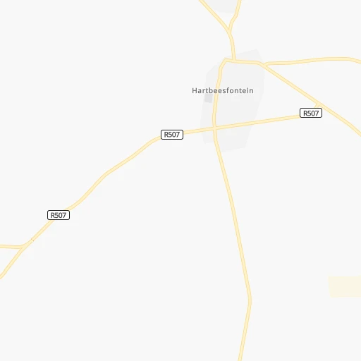
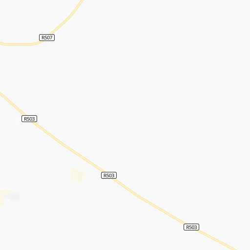
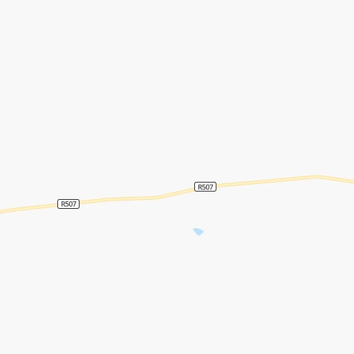
Roadmap (route) to go from Hartbeesfontein to Kroonstad detailed above, you can also see the course layout on the map.
While doing trip Hartbeesfontein - Kroonstad by car, the calculated route ends at a distance , or more straight.
Distance and duration of the route between Hartbeesfontein and Kroonstad
Calculation of distance and route from Kroonstad to Hartbeesfontein :
125.8142.3 km3h33mn
Continue 0h1mn 991 mTurn right onto R507 0h3mn 2.7 kmTurn right onto R503 0h20mn 20.1 kmKeep left and take N12 toward Klerksdorp 0h3mn 3.3 kmTurn sharp right onto Leemhuis Street 0h9mn 8.9 kmTurn right onto O.R. Tambo Street 0h17mn 18.8 kmTurn left onto S950 0h5mn 4.5 kmTurn right onto S632 1h34mn 28.0 kmTurn right onto R76 1h0mn 54.3 kmAt roundabout, take exit 1 0h0mn 132 mTurn right onto Turner Street 0h1mn 338 mTurn right onto Koller Street 0h0mn 99 mTurn left onto Gowlett Street 0h0mn 136 mArrive at destination 0h0mn 0 m
Travel from Hartbeesfontein (Orange Free State) to a selection of major cities.
Distances from Hartbeesfontein to biggest cities in North-West
Other major cities in country :
- Witbank [07], 262,491 inhabitants. 299 km
- Richards Bay [02], 252,968 inhabitants. 597 km
- Vanderbijlpark [06], 246,754 inhabitants. 142 km
- Centurion [06], 233,386 inhabitants. 204 km
- Uitenhage [05], 228,912 inhabitants. 783 km
- Roodepoort [06], 225,000 inhabitants. 161 km
- Paarl [11], 190,000 inhabitants. 1,053 km
- Springs [06], 186,394 inhabitants. 206 km
- Carletonville [06], 182,304 inhabitants. 108 km
- Midrand [06], 173,009 inhabitants. 192 km
- Westonaria [06], 156,831 inhabitants. 133 km
- Middelburg [07], 154,706 inhabitants. 324 km
- Vryheid [02], 150,012 inhabitants. 447 km
- Kimberley [08], 142,089 inhabitants. 271 km
- eMbalenhle [07], 141,741 inhabitants. 265 km
- Nigel [06], 140,644 inhabitants. 209 km
- Mpumalanga [02], 140,121 inhabitants. 534 km
- Bhisho [05], 137,287 inhabitants. 682 km
- Randfontein [06], 133,654 inhabitants. 144 km
- Worcester [11], 127,597 inhabitants. 1,016 km
Route from Kroonstad to major cities (South Africa).
- Distance Kroonstad Cape Town1,094 km
- Distance Kroonstad Durban444 km
- Distance Kroonstad Johannesburg180 km
- Distance Kroonstad Soweto166 km
- Distance Kroonstad Pretoria232 km
- Distance Kroonstad Port Elizabeth719 km
- Distance Kroonstad Pietermaritzburg378 km
- Distance Kroonstad Benoni195 km
- Distance Kroonstad Tembisa209 km
- Distance Kroonstad East London601 km
- Distance Kroonstad Vereeniging129 km
- Distance Kroonstad Boksburg190 km
- Distance Kroonstad Newcastle266 km
- Distance Kroonstad Krugersdorp182 km
- Distance Kroonstad Diepsloot206 km
- Distance Kroonstad Randburg189 km
- Distance Kroonstad Brakpan194 km
- Distance Kroonstad Witbank280 km
- Distance Kroonstad Richards Bay488 km
- Distance Kroonstad Vanderbijlpark120 km
Nearest cities to Hartbeesfontein :
- Johannesburg, 2,026,469 inhabitants. 175 km
- Soweto, 1,695,047 inhabitants. 155 km
- Pretoria, 1,619,438 inhabitants. 211 km
- Benoni, 605,344 inhabitants. 201 km
- Tembisa, 511,655 inhabitants. 201 km
- Vereeniging, 474,681 inhabitants. 151 km
- Bloemfontein, 463,064 inhabitants. 261 km
- Boksburg, 445,168 inhabitants. 194 km
- Welkom, 431,944 inhabitants. 137 km
- Krugersdorp, 378,821 inhabitants. 156 km
- Diepsloot, 350,000 inhabitants. 185 km
- Randburg, 337,053 inhabitants. 176 km
- Botshabelo, 309,714 inhabitants. 278 km
- Brakpan, 305,692 inhabitants. 204 km
- Witbank, 262,491 inhabitants. 299 km
- Vanderbijlpark, 246,754 inhabitants. 142 km
- Centurion, 233,386 inhabitants. 204 km
- Roodepoort, 225,000 inhabitants. 161 km
- Springs, 186,394 inhabitants. 206 km
- Carletonville, 182,304 inhabitants. 108 km
- Klerksdorp, 178,921 inhabitants. 26 km
- Midrand, 173,009 inhabitants. 192 km
- Westonaria, 156,831 inhabitants. 133 km
- Orkney, 145,801 inhabitants. 34 km
- Kimberley, 142,089 inhabitants. 271 km
- eMbalenhle, 141,741 inhabitants. 265 km
- Nigel, 140,644 inhabitants. 209 km
- Randfontein, 133,654 inhabitants. 144 km
- Rustenburg, 124,064 inhabitants. 149 km
- Potchefstroom, 123,669 inhabitants. 68 km
- Virginia, 122,502 inhabitants. 154 km
- Brits, 122,497 inhabitants. 187 km
- Alberton, 121,536 inhabitants. 179 km
- Kroonstad, 103,992 inhabitants. 126 km
- Mokopane, 101,090 inhabitants. 389 km
- Mabopane, 97,417 inhabitants. 221 km
- Kutloanong, 95,008 inhabitants. 121 km
- Stilfontein, 93,110 inhabitants. 36 km
- Delmas, 92,046 inhabitants. 237 km
- Warmbaths, 90,210 inhabitants. 282 km
- Phuthaditjhaba, 84,258 inhabitants. 306 km
- Bethlehem, 83,654 inhabitants. 247 km
- Sasolburg, 77,016 inhabitants. 139 km
- Mmabatho, 76,754 inhabitants. 130 km
- Standerton, 74,021 inhabitants. 281 km
- Bothaville, 71,934 inhabitants. 70 km
- Parys, 71,319 inhabitants. 104 km
- Schweizer-Reneke, 70,214 inhabitants. 117 km
- Ga-Rankuwa, 68,767 inhabitants. 204 km
- Lichtenburg, 65,863 inhabitants. 75 km
Location Hartbeesfontein (North-West) :
| Country flag |  |
| Location | Hartbeesfontein |
| State | North-West |
| County | Dr Kenneth Kaunda District Municipality |
| Country | South Africa |
| Country code / ISO 2 | ZA |
| Latitude | -26.7833300 |
| Longitude | 26.4166700 |
| Altitude | 0 meters |
| Time zone | Africa/Johannesburg |
Location Kroonstad (Orange Free State) :
| Country flag | |
| Location | Kroonstad |
| State | Orange Free State |
| County | Fezile Dabi District Municipality |
| Country | South Africa |
| Country code / ISO 2 | ZA |
| Latitude | -27.6503600 |
| Longitude | 27.2348800 |
| Altitude | 0 meters |
| Time zone | Africa/Johannesburg |