
How to get from Katberg (Eastern Cape) to Adelaide (Eastern Cape)
Calculate route from Katberg (Eastern Cape, South Africa) to Adelaide (Eastern Cape, South Africa).
The flight distance (as the crow flies) between Katberg and Adelaide is 40.2 km.
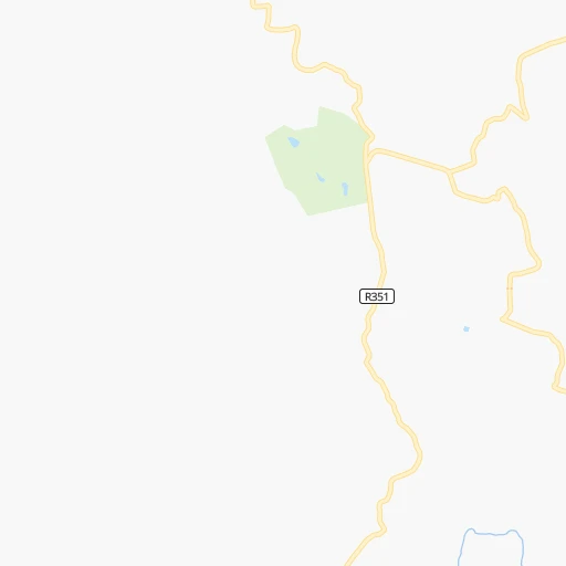
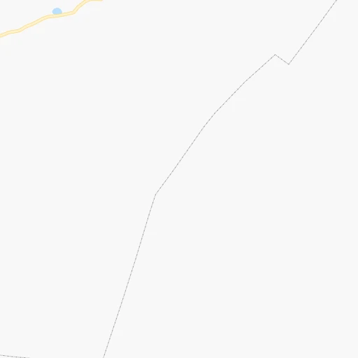
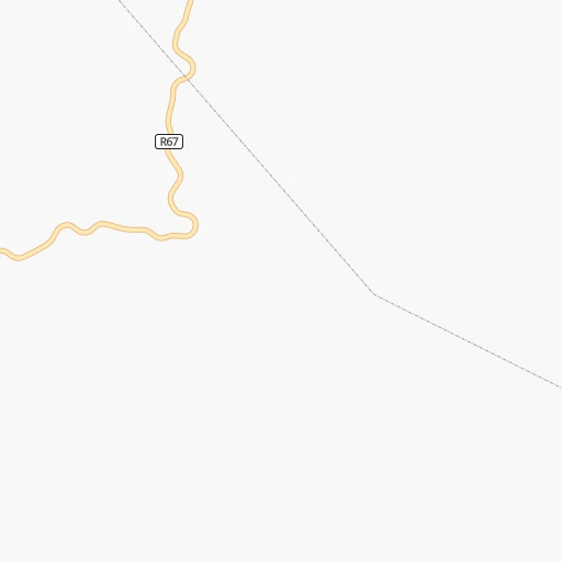
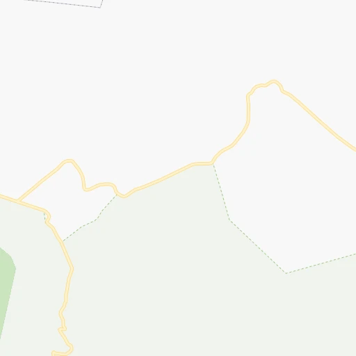
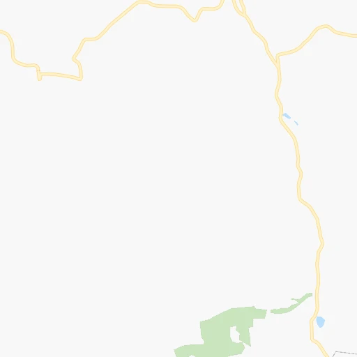
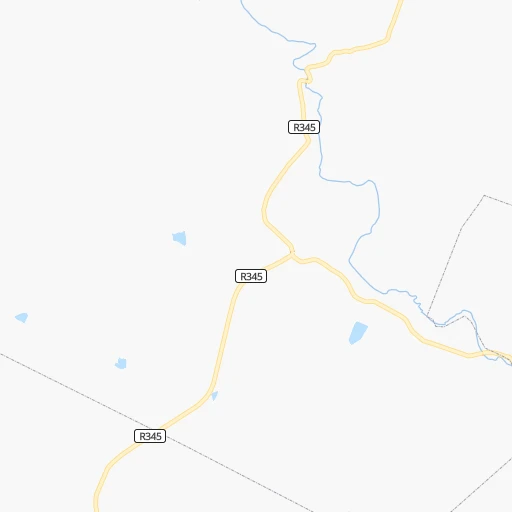
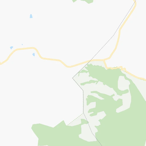
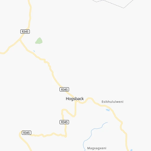
Roadmap (route) to go from Katberg to Adelaide detailed above, you can also see the course layout on the map.
While doing trip Katberg - Adelaide by car, the calculated route ends at a distance , or more straight.
Distance and duration of the route between Katberg and Adelaide
Calculation of distance and route from Adelaide to Katberg :
40.269.0 km1h8mn
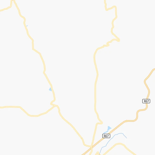
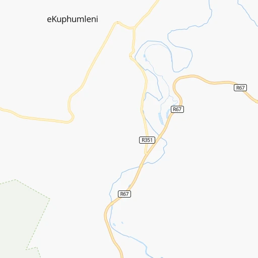
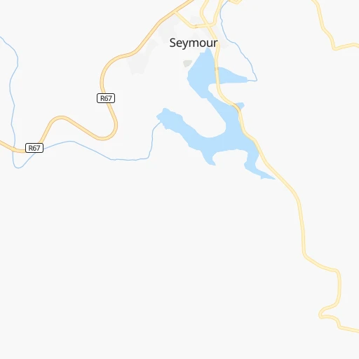
Continue 0h0mn 126 mTurn sharp right 0h0mn 18 mTurn left 0h0mn 85 mTurn left 0h0mn 52 mTurn left 0h0mn 71 mTurn right onto R351 0h10mn 4.9 kmTurn sharp right onto R67 0h26mn 28.2 kmTurn right onto R63, R67 1h32mn 35.3 kmEnter roundabout 0h0mn 343 mArrive at destination 0h0mn 0 m
Travel from Katberg (Eastern Cape) to a selection of major cities.
Distances from Katberg to biggest cities in Eastern Cape
Other major cities in country :
- Vanderbijlpark [06], 246,754 inhabitants. 659 km
- Centurion [06], 233,386 inhabitants. 759 km
- Roodepoort [06], 225,000 inhabitants. 720 km
- Paarl [11], 190,000 inhabitants. 730 km
- Springs [06], 186,394 inhabitants. 721 km
- Carletonville [06], 182,304 inhabitants. 692 km
- Klerksdorp [10], 178,921 inhabitants. 634 km
- Midrand [06], 173,009 inhabitants. 744 km
- Westonaria [06], 156,831 inhabitants. 700 km
- Middelburg [07], 154,706 inhabitants. 801 km
- Vryheid [02], 150,012 inhabitants. 663 km
- Orkney [10], 145,801 inhabitants. 620 km
- Kimberley [08], 142,089 inhabitants. 463 km
- eMbalenhle [07], 141,741 inhabitants. 708 km
- Nigel [06], 140,644 inhabitants. 703 km
- Mpumalanga [02], 140,121 inhabitants. 484 km
- Randfontein [06], 133,654 inhabitants. 715 km
- Worcester [11], 127,597 inhabitants. 685 km
- Rustenburg [10], 124,064 inhabitants. 768 km
- Polokwane [09], 123,749 inhabitants. 1,000 km
Route from Adelaide to major cities (South Africa).
- Distance Adelaide Cape Town745 km
- Distance Adelaide Durban551 km
- Distance Adelaide Johannesburg744 km
- Distance Adelaide Soweto733 km
- Distance Adelaide Pretoria797 km
- Distance Adelaide Pietermaritzburg520 km
- Distance Adelaide Benoni752 km
- Distance Adelaide Tembisa770 km
- Distance Adelaide Vereeniging690 km
- Distance Adelaide Bloemfontein399 km
- Distance Adelaide Boksburg748 km
- Distance Adelaide Welkom528 km
- Distance Adelaide Newcastle652 km
- Distance Adelaide Krugersdorp751 km
- Distance Adelaide Diepsloot772 km
- Distance Adelaide Randburg755 km
- Distance Adelaide Botshabelo385 km
- Distance Adelaide Brakpan748 km
- Distance Adelaide Witbank813 km
- Distance Adelaide Richards Bay702 km
Nearest cities to Katberg :
- Port Elizabeth, 967,677 inhabitants. 186 km
- East London, 478,676 inhabitants. 126 km
- Uitenhage, 228,912 inhabitants. 180 km
- Bhisho, 137,287 inhabitants. 79 km
- Queenstown, 105,309 inhabitants. 75 km
- Grahamstown, 91,548 inhabitants. 85 km
- Mthatha, 78,663 inhabitants. 225 km
- Graaff-Reinet, 62,896 inhabitants. 205 km
- Fort Beaufort, 58,419 inhabitants. 26 km
- Aliwal North, 44,436 inhabitants. 207 km
- Stutterheim, 35,510 inhabitants. 70 km
- Butterworth, 34,353 inhabitants. 140 km
- Cradock, 32,898 inhabitants. 109 km
- De Aar, 32,318 inhabitants. 330 km
- Kokstad, 25,373 inhabitants. 343 km
- Lady Frere, 25,041 inhabitants. 108 km
- Queensdale, 20,009 inhabitants. 80 km
- Kruisfontein, 18,991 inhabitants. 243 km
- Middelburg, 18,164 inhabitants. 197 km
- Port Alfred, 17,959 inhabitants. 117 km
- Somerset East, 16,155 inhabitants. 104 km
- Burgersdorp, 12,548 inhabitants. 176 km
- Zastron, 12,449 inhabitants. 253 km
- Colesberg, 12,423 inhabitants. 253 km
- Adelaide, 12,212 inhabitants. 40 km
- Whittlesea, 12,080 inhabitants. 44 km
- Elliot, 11,836 inhabitants. 175 km
- Jeffrey's Bay, 11,698 inhabitants. 235 km
- Ilinge, 10,899 inhabitants. 72 km
- Kirkwood, 10,148 inhabitants. 149 km
- Molteno, 10,078 inhabitants. 132 km
- Alice, 9,788 inhabitants. 30 km
- Dordrecht, 9,123 inhabitants. 136 km
- Port Saint John's, 5,939 inhabitants. 289 km
- Noupoort, 3,924 inhabitants. 223 km
Location Katberg (Eastern Cape) :
| Country flag |  |
| Location | Katberg |
| State | Eastern Cape |
| County | Amathole District Municipality |
| Country | South Africa |
| Country code / ISO 2 | ZA |
| Latitude | -32.5487500 |
| Longitude | 26.6813500 |
| Altitude | 0 meters |
| Time zone | Africa/Johannesburg |
Location Adelaide (Eastern Cape) :
| Country flag | |
| Location | Adelaide |
| State | Eastern Cape |
| County | Amathole District Municipality |
| Country | South Africa |
| Country code / ISO 2 | ZA |
| Latitude | -32.7074700 |
| Longitude | 26.2956400 |
| Altitude | 0 meters |
| Time zone | Africa/Johannesburg |