

How to get from Letsitele (Limpopo) to Bethal (Mpumalanga)
Calculate route from Letsitele (Limpopo, South Africa) to Bethal (Mpumalanga, South Africa).
The flight distance (as the crow flies) between Letsitele and Bethal is 301.1 km.
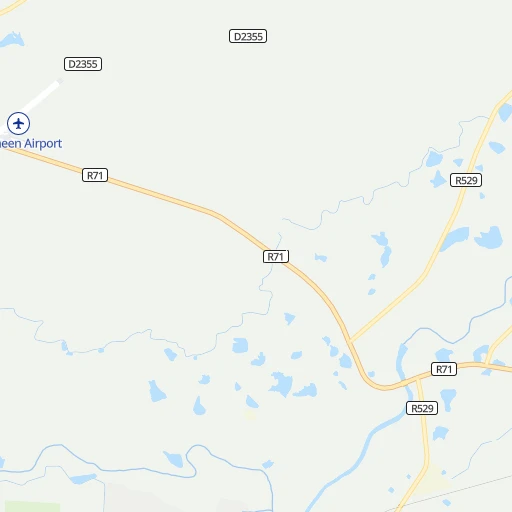
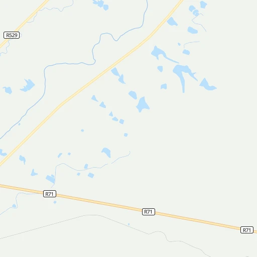
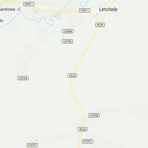
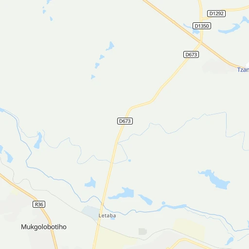
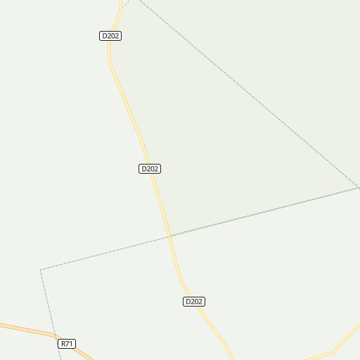
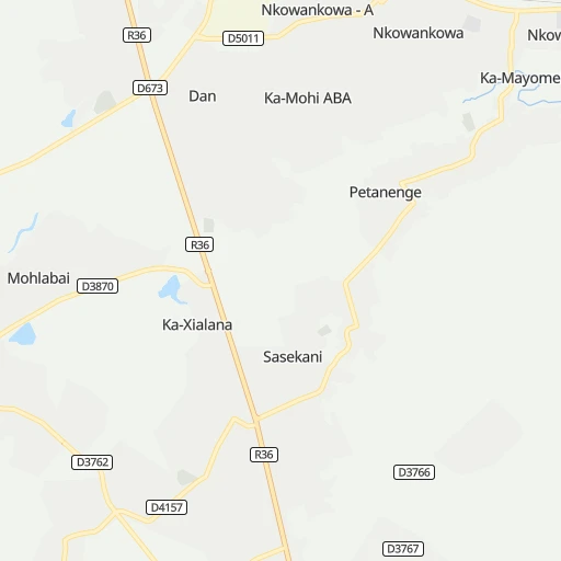
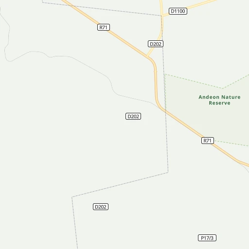
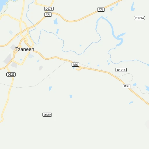
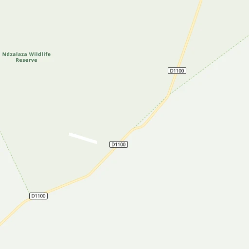
Roadmap (route) to go from Letsitele to Bethal detailed above, you can also see the course layout on the map.
While doing trip Letsitele - Bethal by car, the calculated route ends at a distance , or more straight.
Distance and duration of the route between Letsitele and Bethal
Calculation of distance and route from Bethal to Letsitele :
301.1383.9 km6h40mn
Continue 0h2mn 937 mTurn left onto R529 0h15mn 15.4 kmTurn sharp right onto R529 0h0mn 456 mTurn left onto R36 1h49mn 53.6 kmTurn right onto R36 2h30mn 102.2 kmTurn left onto Voortrekker Street 0h1mn 809 mTurn right onto Viljoen Street 0h3mn 2.3 kmTurn right onto R540 1h9mn 86.4 kmTurn left onto Vermooten Street 0h4mn 3.2 kmTurn right 0h1mn 724 mContinue onto N4 0h21mn 36.1 kmKeep left and drive toward Arnot 0h0mn 477 mTurn left 1h31mn 25.9 kmContinue 0h13mn 10.7 kmTurn right onto Kort Street 0h1mn 597 mAt roundabout, take exit 2 onto Schuins Street 0h1mn 1.1 kmTurn right onto Beukes Street 0h0mn 78 mTurn slight left onto R38 1h35mn 38.5 kmTurn right onto Main Avenue 0h3mn 2.9 kmKeep left 0h0mn 79 mContinue onto Schlosberg Avenue 0h0mn 369 mKeep left and take N17 toward Bethal 0h1mn 717 mTurn right onto Du Plooy Street 0h1mn 250 mTurn left onto Clerq Street 0h0mn 110 mArrive at destination 0h0mn 0 m
Travel from Letsitele (Mpumalanga) to a selection of major cities.
Distances from Letsitele to biggest cities in Limpopo
Other major cities in country :
- Witbank [07], 262,491 inhabitants. 251 km
- Richards Bay [02], 252,968 inhabitants. 569 km
- Vanderbijlpark [06], 246,754 inhabitants. 407 km
- Centurion [06], 233,386 inhabitants. 314 km
- Uitenhage [05], 228,912 inhabitants. 1,202 km
- Roodepoort [06], 225,000 inhabitants. 360 km
- Paarl [11], 190,000 inhabitants. 1,561 km
- Springs [06], 186,394 inhabitants. 332 km
- Carletonville [06], 182,304 inhabitants. 409 km
- Klerksdorp [10], 178,921 inhabitants. 500 km
- Midrand [06], 173,009 inhabitants. 328 km
- Westonaria [06], 156,831 inhabitants. 388 km
- Middelburg [07], 154,706 inhabitants. 231 km
- Vryheid [02], 150,012 inhabitants. 434 km
- Orkney [10], 145,801 inhabitants. 509 km
- Kimberley [08], 142,089 inhabitants. 779 km
- eMbalenhle [07], 141,741 inhabitants. 324 km
- Nigel [06], 140,644 inhabitants. 343 km
- Mpumalanga [02], 140,121 inhabitants. 660 km
- Bhisho [05], 137,287 inhabitants. 1,039 km
Route from Bethal to major cities (South Africa).
- Distance Bethal Cape Town1,348 km
- Distance Bethal Durban408 km
- Distance Bethal Johannesburg145 km
- Distance Bethal Soweto162 km
- Distance Bethal Pretoria150 km
- Distance Bethal Port Elizabeth913 km
- Distance Bethal Pietermaritzburg363 km
- Distance Bethal Benoni118 km
- Distance Bethal Tembisa134 km
- Distance Bethal East London745 km
- Distance Bethal Vereeniging155 km
- Distance Bethal Bloemfontein436 km
- Distance Bethal Boksburg123 km
- Distance Bethal Welkom319 km
- Distance Bethal Newcastle152 km
- Distance Bethal Krugersdorp174 km
- Distance Bethal Diepsloot156 km
- Distance Bethal Randburg152 km
- Distance Bethal Botshabelo413 km
- Distance Bethal Brakpan112 km
Nearest cities to Letsitele :
- Johannesburg, 2,026,469 inhabitants. 351 km
- Soweto, 1,695,047 inhabitants. 369 km
- Pretoria, 1,619,438 inhabitants. 305 km
- Benoni, 605,344 inhabitants. 331 km
- Tembisa, 511,655 inhabitants. 322 km
- Vereeniging, 474,681 inhabitants. 398 km
- Boksburg, 445,168 inhabitants. 337 km
- Krugersdorp, 378,821 inhabitants. 361 km
- Diepsloot, 350,000 inhabitants. 332 km
- Randburg, 337,053 inhabitants. 345 km
- Brakpan, 305,692 inhabitants. 332 km
- Witbank, 262,491 inhabitants. 251 km
- Vanderbijlpark, 246,754 inhabitants. 407 km
- Centurion, 233,386 inhabitants. 314 km
- Roodepoort, 225,000 inhabitants. 360 km
- Springs, 186,394 inhabitants. 332 km
- Midrand, 173,009 inhabitants. 328 km
- Westonaria, 156,831 inhabitants. 388 km
- Middelburg, 154,706 inhabitants. 231 km
- eMbalenhle, 141,741 inhabitants. 324 km
- Nigel, 140,644 inhabitants. 343 km
- Randfontein, 133,654 inhabitants. 374 km
- Polokwane, 123,749 inhabitants. 95 km
- Brits, 122,497 inhabitants. 329 km
- Alberton, 121,536 inhabitants. 351 km
- Nelspruit, 110,159 inhabitants. 186 km
- Phalaborwa, 109,468 inhabitants. 76 km
- Bethal, 101,919 inhabitants. 302 km
- Mokopane, 101,090 inhabitants. 146 km
- Mabopane, 97,417 inhabitants. 294 km
- Delmas, 92,046 inhabitants. 306 km
- Warmbaths, 90,210 inhabitants. 242 km
- Louis Trichardt, 86,854 inhabitants. 106 km
- Sasolburg, 77,016 inhabitants. 417 km
- Ga-Rankuwa, 68,767 inhabitants. 310 km
- Barberton, 67,927 inhabitants. 222 km
- Heidelberg, 64,199 inhabitants. 357 km
- Fochville, 62,416 inhabitants. 412 km
- Edenvale, 49,292 inhabitants. 338 km
- Balfour, 46,008 inhabitants. 359 km
- Thohoyandou, 44,046 inhabitants. 105 km
- Ermelo, 41,124 inhabitants. 298 km
- Ekangala, 37,650 inhabitants. 262 km
- Giyani, 37,024 inhabitants. 72 km
- Lebowakgomo, 33,308 inhabitants. 98 km
- Nkowakowa, 30,138 inhabitants. 12 km
- Bronkhorstspruit, 27,343 inhabitants. 272 km
- Siyabuswa, 26,236 inhabitants. 194 km
- Cullinan, 25,490 inhabitants. 275 km
- Midstream, 25,000 inhabitants. 317 km
Location Letsitele (Limpopo) :
| Country flag |  |
| Location | Letsitele |
| State | Limpopo |
| County | Mopani District Municipality |
| Country | South Africa |
| Country code / ISO 2 | ZA |
| Latitude | -23.8833300 |
| Longitude | 30.4000000 |
| Altitude | 0 meters |
| Time zone | Africa/Johannesburg |
Location Bethal (Mpumalanga) :
| Country flag | |
| Location | Bethal |
| State | Mpumalanga |
| County | Gert Sibande District Municipality |
| Country | South Africa |
| Country code / ISO 2 | ZA |
| Latitude | -26.4579400 |
| Longitude | 29.4655300 |
| Altitude | 0 meters |
| Time zone | Africa/Johannesburg |

