


How to get from Lohatlha (Northern Cape) to Christiana (North-West)
Calculate route from Lohatlha (Northern Cape, South Africa) to Christiana (North-West, South Africa).
The flight distance (as the crow flies) between Lohatlha and Christiana is 207.5 km.
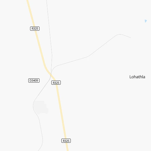
Roadmap (route) to go from Lohatlha to Christiana detailed above, you can also see the course layout on the map.
While doing trip Lohatlha - Christiana by car, the calculated route ends at a distance , or more straight.
Distance and duration of the route between Lohatlha and Christiana
Calculation of distance and route from Christiana to Lohatlha :
207.5272.3 km5h56mn
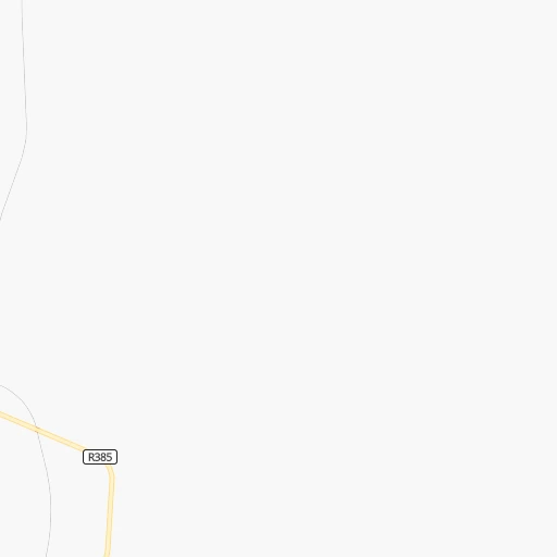
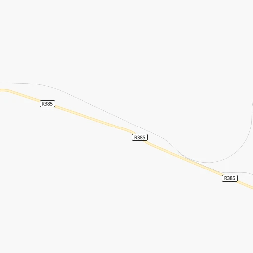
Continue 0h2mn 1.2 kmTurn left 0h0mn 115 mTurn right onto R325 0h23mn 30.3 kmKeep left 0h2mn 2.2 kmTurn left onto R385 1h49mn 48.8 kmContinue onto R31 1h12mn 78.8 kmTurn left onto R370 1h17mn 48.2 kmTurn right 1h48mn 25.4 kmTurn left onto N12 0h20mn 35.6 kmTurn right 0h1mn 252 mContinue onto West Street 0h2mn 901 mTurn left onto Robyn Street 0h1mn 401 mTurn right onto Eeufees Street 0h0mn 121 mArrive at destination 0h0mn 0 m
Travel from Lohatlha (North-West) to a selection of major cities.
Distances from Lohatlha to biggest cities in Northern Cape
Other major cities in country :
- Witbank [07], 262,491 inhabitants. 659 km
- Richards Bay [02], 252,968 inhabitants. 883 km
- Vanderbijlpark [06], 246,754 inhabitants. 496 km
- Centurion [06], 233,386 inhabitants. 564 km
- Uitenhage [05], 228,912 inhabitants. 675 km
- Roodepoort [06], 225,000 inhabitants. 521 km
- Paarl [11], 190,000 inhabitants. 744 km
- Springs [06], 186,394 inhabitants. 566 km
- Carletonville [06], 182,304 inhabitants. 469 km
- Klerksdorp [10], 178,921 inhabitants. 381 km
- Midrand [06], 173,009 inhabitants. 553 km
- Westonaria [06], 156,831 inhabitants. 494 km
- Middelburg [07], 154,706 inhabitants. 685 km
- Vryheid [02], 150,012 inhabitants. 762 km
- Orkney [10], 145,801 inhabitants. 376 km
- eMbalenhle [07], 141,741 inhabitants. 618 km
- Nigel [06], 140,644 inhabitants. 566 km
- Mpumalanga [02], 140,121 inhabitants. 765 km
- Bhisho [05], 137,287 inhabitants. 681 km
- Randfontein [06], 133,654 inhabitants. 505 km
Route from Christiana to major cities (South Africa).
- Distance Christiana Cape Town928 km
- Distance Christiana Durban611 km
- Distance Christiana Johannesburg343 km
- Distance Christiana Soweto324 km
- Distance Christiana Pretoria386 km
- Distance Christiana Port Elizabeth675 km
- Distance Christiana Pietermaritzburg545 km
- Distance Christiana Benoni367 km
- Distance Christiana Tembisa372 km
- Distance Christiana East London626 km
- Distance Christiana Vereeniging306 km
- Distance Christiana Bloemfontein169 km
- Distance Christiana Boksburg361 km
- Distance Christiana Welkom155 km
- Distance Christiana Newcastle470 km
- Distance Christiana Krugersdorp330 km
- Distance Christiana Diepsloot359 km
- Distance Christiana Randburg347 km
- Distance Christiana Botshabelo215 km
- Distance Christiana Brakpan369 km
Nearest cities to Lohatlha :
- Kimberley, 142,089 inhabitants. 184 km
- Mmabatho, 76,754 inhabitants. 354 km
- Upington, 71,373 inhabitants. 182 km
- Schweizer-Reneke, 70,214 inhabitants. 244 km
- Vryburg, 49,588 inhabitants. 205 km
- Wolmaransstad, 49,366 inhabitants. 304 km
- De Aar, 32,318 inhabitants. 305 km
- Postmasburg, 30,089 inhabitants. 33 km
- Pampierstad, 21,800 inhabitants. 163 km
- Warrenton, 17,946 inhabitants. 177 km
- Christiana, 17,523 inhabitants. 208 km
- Bloemhof, 17,122 inhabitants. 255 km
- Mahikeng, 14,000 inhabitants. 353 km
- Jan Kempdorp, 13,485 inhabitants. 175 km
- Hoopstad, 12,663 inhabitants. 282 km
- Colesberg, 12,423 inhabitants. 358 km
- Barkly West, 11,621 inhabitants. 154 km
- Prieska, 11,236 inhabitants. 184 km
- Danielskuil, 10,123 inhabitants. 51 km
- Ritchie, 9,960 inhabitants. 188 km
- Kathu, 9,219 inhabitants. 38 km
- Kuruman, 9,093 inhabitants. 76 km
- Carnarvon, 5,785 inhabitants. 338 km
- Kenhardt, 4,842 inhabitants. 235 km
Location Lohatlha (Northern Cape) :
| Country flag |  |
| Location | Lohatlha |
| State | Northern Cape |
| County | Siyanda District Municipality |
| Country | South Africa |
| Country code / ISO 2 | ZA |
| Latitude | -28.0412800 |
| Longitude | 23.0518200 |
| Altitude | 0 meters |
| Time zone | Africa/Johannesburg |
Location Christiana (North-West) :
| Country flag | |
| Location | Christiana |
| State | North-West |
| County | Dr Ruth Segomotsi Mompati District Municipality |
| Country | South Africa |
| Country code / ISO 2 | ZA |
| Latitude | -27.9140200 |
| Longitude | 25.1611100 |
| Altitude | 0 meters |
| Time zone | Africa/Johannesburg |