
How to get from Lutzputs (Northern Cape) to Carletonville (Gauteng)
Calculate route from Lutzputs (Northern Cape, South Africa) to Carletonville (Gauteng, South Africa).
The flight distance (as the crow flies) between Lutzputs and Carletonville is 701.4 km.
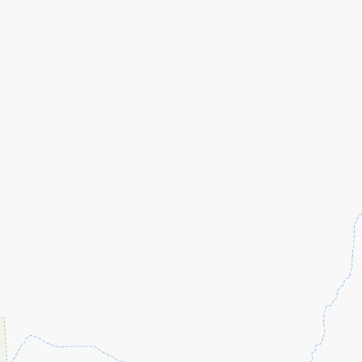
Roadmap (route) to go from Lutzputs to Carletonville detailed above, you can also see the course layout on the map.
While doing trip Lutzputs - Carletonville by car, the calculated route ends at a distance , or more straight.
Distance and duration of the route between Lutzputs and Carletonville
Calculation of distance and route from Carletonville to Lutzputs :
701.4792.2 km11h21mn
Continue 0h1mn 324 mTurn right 0h22mn 11.2 kmTurn sharp right onto N10 1h50mn 59.8 kmTurn right onto N10 0h1mn 1.7 kmTurn left 0h1mn 1.2 kmTurn left onto Rondom Street 0h2mn 1.7 kmTurn left onto Schroder Street 3h38mn 183.9 kmKeep left 0h0mn 191 mTurn slight left onto N14 3h3mn 213.9 kmTurn right onto Market Street 0h4mn 5.3 kmContinue onto R34 1h55mn 60.9 kmTurn left onto Schweizer Street 1h10mn 69.6 kmTurn left onto Broadbent Street 1h40mn 70.3 kmAt roundabout, take exit 2 onto N12 1h51mn 67.3 kmTurn slight left onto N12 0h23mn 26.9 kmTurn sharp left 0h10mn 12.5 kmTurn sharp right onto Roux Street 0h0mn 273 mAt roundabout, take exit 1 0h1mn 803 mAt roundabout, take exit 1 0h2mn 2.0 kmTurn right onto R501 0h0mn 363 mKeep left 0h0mn 371 mTurn right onto Talc Way 0h1mn 479 mTurn slight left onto Gardenia Place 0h0mn 232 mKeep left onto Carleton Jones Drive 0h0mn 15 mContinue onto Talc Way 0h0mn 184 mKeep right onto Talc Road 0h1mn 305 mTurn left onto Mica Street 0h0mn 191 mTurn right onto Zircon Street 0h0mn 240 mArrive at destination 0h0mn 0 m
Travel from Lutzputs (Gauteng) to a selection of major cities.
Distances from Lutzputs to biggest cities in Northern Cape
Other major cities in country :
- Witbank [07], 262,491 inhabitants. 894 km
- Richards Bay [02], 252,968 inhabitants. 1,112 km
- Vanderbijlpark [06], 246,754 inhabitants. 732 km
- Centurion [06], 233,386 inhabitants. 796 km
- Uitenhage [05], 228,912 inhabitants. 749 km
- Roodepoort [06], 225,000 inhabitants. 755 km
- Paarl [11], 190,000 inhabitants. 616 km
- Springs [06], 186,394 inhabitants. 801 km
- Carletonville [06], 182,304 inhabitants. 703 km
- Klerksdorp [10], 178,921 inhabitants. 616 km
- Midrand [06], 173,009 inhabitants. 786 km
- Westonaria [06], 156,831 inhabitants. 728 km
- Middelburg [07], 154,706 inhabitants. 919 km
- Vryheid [02], 150,012 inhabitants. 997 km
- Orkney [10], 145,801 inhabitants. 613 km
- eMbalenhle [07], 141,741 inhabitants. 855 km
- Nigel [06], 140,644 inhabitants. 802 km
- Mpumalanga [02], 140,121 inhabitants. 982 km
- Bhisho [05], 137,287 inhabitants. 817 km
- Randfontein [06], 133,654 inhabitants. 738 km
Route from Carletonville to major cities (South Africa).
- Distance Carletonville Cape Town1,205 km
- Distance Carletonville Durban528 km
- Distance Carletonville Port Elizabeth863 km
- Distance Carletonville Pietermaritzburg467 km
- Distance Carletonville East London742 km
- Distance Carletonville Bloemfontein329 km
- Distance Carletonville Welkom192 km
- Distance Carletonville Newcastle295 km
- Distance Carletonville Botshabelo330 km
- Distance Carletonville Witbank191 km
- Distance Carletonville Richards Bay531 km
- Distance Carletonville Uitenhage846 km
- Distance Carletonville Paarl1,153 km
- Distance Carletonville Klerksdorp91 km
- Distance Carletonville Middelburg217 km
- Distance Carletonville Vryheid371 km
- Distance Carletonville Orkney100 km
- Distance Carletonville Kimberley371 km
- Distance Carletonville eMbalenhle167 km
- Distance Carletonville Mpumalanga499 km
Nearest cities to Lutzputs :
- Upington, 71,373 inhabitants. 58 km
- Postmasburg, 30,089 inhabitants. 235 km
- Prieska, 11,236 inhabitants. 247 km
- Springbok, 10,438 inhabitants. 305 km
- Danielskuil, 10,123 inhabitants. 283 km
- Kathu, 9,219 inhabitants. 247 km
- Kuruman, 9,093 inhabitants. 291 km
- Carnarvon, 5,785 inhabitants. 320 km
- Kenhardt, 4,842 inhabitants. 117 km
- Pofadder, 3,287 inhabitants. 149 km
Location Lutzputs (Northern Cape) :
| Country flag |  |
| Location | Lutzputs |
| State | Northern Cape |
| County | Siyanda District Municipality |
| Country | South Africa |
| Country code / ISO 2 | ZA |
| Latitude | -28.3882300 |
| Longitude | 20.6650200 |
| Altitude | 0 meters |
| Time zone | Africa/Johannesburg |
Location Carletonville (Gauteng) :
| Country flag | |
| Location | Carletonville |
| State | Gauteng |
| County | West Rand District Municipality |
| Country | South Africa |
| Country code / ISO 2 | ZA |
| Latitude | -26.3609400 |
| Longitude | 27.3976700 |
| Altitude | 0 meters |
| Time zone | Africa/Johannesburg |
