
How to get from Maḩaţţat Qiţār Balad (Salah ad Din) to Aş Şuwayrah (Wāsiţ)
Calculate route from Maḩaţţat Qiţār Balad (Salah ad Din, Iraq) to Aş Şuwayrah (Wāsiţ, Iraq).
The flight distance (as the crow flies) between Maḩaţţat Qiţār Balad and Aş Şuwayrah is 127.8 km.
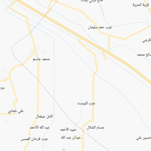
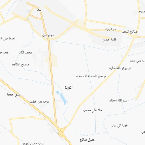
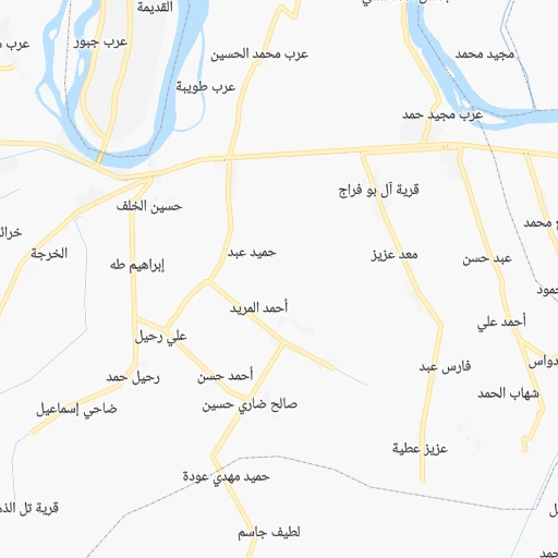
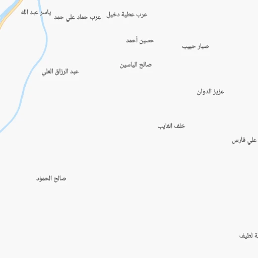
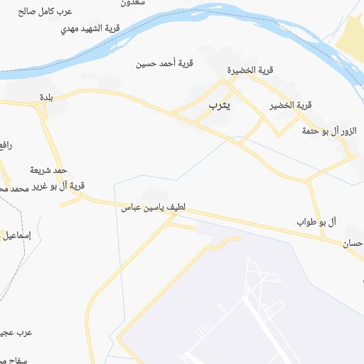
Roadmap (route) to go from Maḩaţţat Qiţār Balad to Aş Şuwayrah detailed above, you can also see the course layout on the map.
While doing trip Maḩaţţat Qiţār Balad - Aş Şuwayrah by car, the calculated route ends at a distance , or more straight.
Distance and duration of the route between Maḩaţţat Qiţār Balad and Aş Şuwayrah
Calculation of distance and route from Aş Şuwayrah to Maḩaţţat Qiţār Balad :
127.8149.9 km2h6mn
Continue onto طريق الموصل - بغداد 1h56mn 65.1 kmKeep right 0h1mn 624 mKeep right onto شارع ابن منظور 0h5mn 5.6 kmAt roundabout, take exit 1 onto ساحة جسر المثنى 0h1mn 797 mKeep left 0h12mn 18.7 kmKeep right onto طريق عمر بن الخطاب للمرور السريع 0h2mn 3.3 kmContinue onto طريق كوت - بغداد 0h9mn 10.0 kmKeep left onto طريق كوت - بغداد 0h2mn 2.0 kmTurn slight right onto طريق كوت - بغداد 0h27mn 31.4 kmKeep right 0h9mn 9.5 kmAt roundabout, take exit 2 0h1mn 1.5 kmAt roundabout, take exit 3 0h0mn 224 mTurn right onto شارع النجمة 0h1mn 661 mMake a U-turn onto شارع النجمة 0h0mn 58 mTurn right 0h0mn 191 mTurn right 0h0mn 145 mTurn right 0h0mn 35 mTurn left 0h0mn 84 mArrive at destination 0h0mn 0 m
Travel from Maḩaţţat Qiţār Balad (Wāsiţ) to a selection of major cities.
Distances from Maḩaţţat Qiţār Balad to biggest cities in Salah ad Din
Other major cities in country :
- Baqubah [10], 152,550 inhabitants. 47 km
- Sinah [08], 128,776 inhabitants. 334 km
- Az Zubayr [02], 122,676 inhabitants. 518 km
- Kufa [17], 110,000 inhabitants. 213 km
- Umm Qasr [02], 107,620 inhabitants. 562 km
- Al Faw [02], 104,569 inhabitants. 602 km
- Zaxo [08], 95,052 inhabitants. 380 km
- Al Harithah [02], 92,395 inhabitants. 506 km
- Ash Shatrah [09], 82,732 inhabitants. 340 km
- Al Hayy [16], 78,272 inhabitants. 265 km
- Jamjamal [05], 75,634 inhabitants. 187 km
- Khalis [10], 70,046 inhabitants. 39 km
- Ash Shamiyah [04], 57,661 inhabitants. 225 km
- Al Hindiyah [12], 57,490 inhabitants. 157 km
- Halabjah [05], 57,333 inhabitants. 216 km
- Al Miqdadiyah [10], 50,698 inhabitants. 72 km
Route from Aş Şuwayrah to major cities (Iraq).
- Distance Aş Şuwayrah Baghdad58 km
- Distance Aş Şuwayrah Basrah392 km
- Distance Aş Şuwayrah Al Mawsil al Jadidah409 km
- Distance Aş Şuwayrah Al Basrah al Qadimah394 km
- Distance Aş Şuwayrah Mosul409 km
- Distance Aş Şuwayrah Erbil369 km
- Distance Aş Şuwayrah Abu Ghurayb69 km
- Distance Aş Şuwayrah As Sulaymaniyah300 km
- Distance Aş Şuwayrah Kirkuk285 km
- Distance Aş Şuwayrah Najaf108 km
- Distance Aş Şuwayrah Karbala78 km
- Distance Aş Şuwayrah Nasiriyah251 km
- Distance Aş Şuwayrah Al 'Amarah254 km
- Distance Aş Şuwayrah Ad Diwaniyah105 km
- Distance Aş Şuwayrah Al Hillah61 km
- Distance Aş Şuwayrah Dihok468 km
- Distance Aş Şuwayrah Ramadi147 km
- Distance Aş Şuwayrah Al Fallujah104 km
- Distance Aş Şuwayrah Samarra'164 km
- Distance Aş Şuwayrah As Samawah184 km
Nearest cities to Maḩaţţat Qiţār Balad :
- Baghdad, 7,216,000 inhabitants. 72 km
- Al Mawsil al Jadidah, 2,065,597 inhabitants. 282 km
- Mosul, 1,739,800 inhabitants. 282 km
- Erbil, 932,800 inhabitants. 249 km
- Abu Ghurayb, 900,000 inhabitants. 72 km
- As Sulaymaniyah, 723,170 inhabitants. 214 km
- Kirkuk, 601,433 inhabitants. 170 km
- Najaf, 482,576 inhabitants. 215 km
- Karbala, 434,450 inhabitants. 149 km
- Nasiriyah, 400,249 inhabitants. 378 km
- Al 'Amarah, 323,302 inhabitants. 366 km
- Ad Diwaniyah, 318,801 inhabitants. 230 km
- Al Kut, 315,162 inhabitants. 223 km
- Al Hillah, 289,709 inhabitants. 168 km
- Dihok, 284,000 inhabitants. 341 km
- Ramadi, 274,539 inhabitants. 98 km
- Al Fallujah, 190,159 inhabitants. 75 km
- Samarra', 158,508 inhabitants. 37 km
- As Samawah, 152,890 inhabitants. 311 km
- Baqubah, 152,550 inhabitants. 47 km
- Sinah, 128,776 inhabitants. 334 km
- Kufa, 110,000 inhabitants. 213 km
- Ash Shatrah, 82,732 inhabitants. 340 km
- Al Hayy, 78,272 inhabitants. 265 km
- Jamjamal, 75,634 inhabitants. 187 km
- Khalis, 70,046 inhabitants. 39 km
- Tozkhurmato, 59,886 inhabitants. 113 km
- Ash Shamiyah, 57,661 inhabitants. 225 km
- Al Hindiyah, 57,490 inhabitants. 157 km
- Halabjah, 57,333 inhabitants. 216 km
- Al Miqdadiyah, 50,698 inhabitants. 72 km
- Al-Hamdaniya, 50,000 inhabitants. 268 km
- Ar Rumaythah, 47,248 inhabitants. 287 km
- Koysinceq, 44,987 inhabitants. 241 km
- Al 'Aziziyah, 44,751 inhabitants. 144 km
- Al Musayyib, 42,901 inhabitants. 131 km
- Tikrit, 42,477 inhabitants. 86 km
- As Suwayrah, 42,354 inhabitants. 128 km
- Balad, 42,088 inhabitants. 7 km
- Sinjar, 38,294 inhabitants. 335 km
- Imam Qasim, 36,992 inhabitants. 191 km
- Bayji, 36,454 inhabitants. 125 km
- Hit, 31,901 inhabitants. 128 km
- Hadithah, 30,925 inhabitants. 165 km
- Nahiyat Ghammas, 30,909 inhabitants. 250 km
- Nahiyat Saddat al Hindiyah, 30,622 inhabitants. 138 km
- Kifri, 30,143 inhabitants. 111 km
- Mandali, 29,785 inhabitants. 131 km
- Baynjiwayn, 27,116 inhabitants. 248 km
- 'Anah, 27,000 inhabitants. 205 km
Location Maḩaţţat Qiţār Balad (Salah ad Din) :
| Country flag |  |
| Location | Maḩaţţat Qiţār Balad |
| State | Salah ad Din |
| County | Balad District |
| Country | Iraq |
| Country code / ISO 2 | IQ |
| Latitude | 33.9520400 |
| Longitude | 44.1541300 |
| Altitude | 0 meters |
| Time zone | Asia/Baghdad |
Location Aş Şuwayrah (Wāsiţ) :
| Country flag | |
| Location | Aş Şuwayrah |
| State | Wāsiţ |
| County | Al-Suwaira District |
| Country | Iraq |
| Country code / ISO 2 | IQ |
| Latitude | 32.9255600 |
| Longitude | 44.7758300 |
| Altitude | 0 meters |
| Time zone | Asia/Baghdad |