
How to get from Mkondeni (KwaZulu-Natal) to Ulundi (KwaZulu-Natal)
Calculate route from Mkondeni (KwaZulu-Natal, South Africa) to Ulundi (KwaZulu-Natal, South Africa).
The flight distance (as the crow flies) between Mkondeni and Ulundi is 176.4 km.
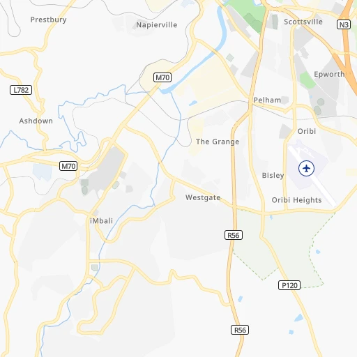
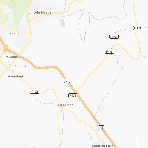
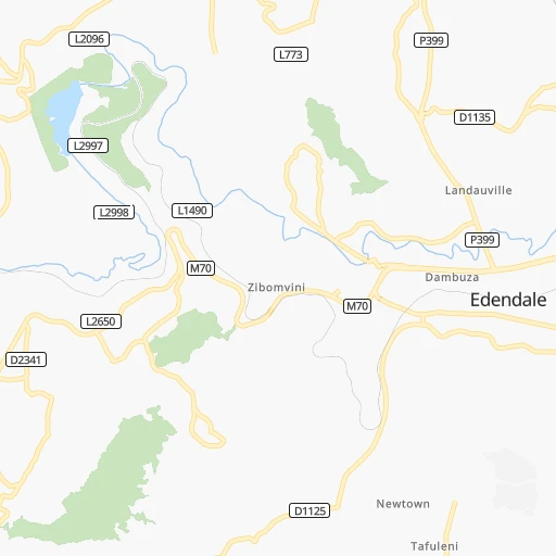
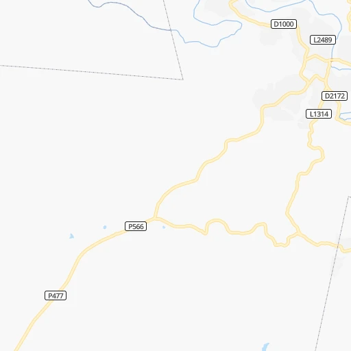
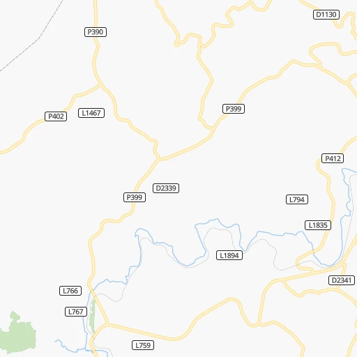
Roadmap (route) to go from Mkondeni to Ulundi detailed above, you can also see the course layout on the map.
While doing trip Mkondeni - Ulundi by car, the calculated route ends at a distance , or more straight.
Distance and duration of the route between Mkondeni and Ulundi
Calculation of distance and route from Ulundi to Mkondeni :
176.4247.1 km4h11mn
Continue onto Markham Road 0h0mn 243 mTurn right onto Long Road 0h1mn 507 mTurn right onto Oribi Road 0h5mn 3.9 kmTurn sharp left onto Alan Paton Avenue 0h1mn 560 mTurn sharp right onto R56 0h0mn 91 mKeep left onto Woodhouse Road 0h1mn 318 mTurn left onto Boshoff Street 0h2mn 1.8 kmTurn right onto Church Street 0h3mn 2.8 kmTurn right onto Bhambatha Road 1h50mn 59.9 kmTurn right onto P160 0h18mn 15.3 kmTurn right onto R74 0h17mn 18.6 kmKeep left 0h0mn 142 mTurn slight left onto P15-1 1h44mn 43.8 kmTurn left onto P50-2 1h41mn 41.3 kmTurn right onto P226 0h26mn 21.3 kmContinue onto R68 0h1mn 1.6 kmTurn left onto P225 0h20mn 10.0 kmTurn left onto P574 0h2mn 1.8 kmTurn sharp left onto R34, R66 0h4mn 7.0 kmTurn right onto R66 0h13mn 14.3 kmTurn right onto D1739 0h2mn 1.4 kmTurn right 0h0mn 156 mTurn left 0h1mn 272 mArrive at destination 0h0mn 0 m
Travel from Mkondeni (KwaZulu-Natal) to a selection of major cities.
Distances from Mkondeni to biggest cities in KwaZulu-Natal
Other major cities in country :
- Uitenhage [05], 228,912 inhabitants. 658 km
- Roodepoort [06], 225,000 inhabitants. 461 km
- Paarl [11], 190,000 inhabitants. 1,173 km
- Springs [06], 186,394 inhabitants. 427 km
- Carletonville [06], 182,304 inhabitants. 470 km
- Klerksdorp [10], 178,921 inhabitants. 481 km
- Midrand [06], 173,009 inhabitants. 465 km
- Westonaria [06], 156,831 inhabitants. 459 km
- Middelburg [07], 154,706 inhabitants. 441 km
- Orkney [10], 145,801 inhabitants. 471 km
- Kimberley [08], 142,089 inhabitants. 557 km
- eMbalenhle [07], 141,741 inhabitants. 371 km
- Nigel [06], 140,644 inhabitants. 405 km
- Bhisho [05], 137,287 inhabitants. 454 km
- Randfontein [06], 133,654 inhabitants. 468 km
- Worcester [11], 127,597 inhabitants. 1,128 km
- Rustenburg [10], 124,064 inhabitants. 542 km
- Polokwane [09], 123,749 inhabitants. 646 km
- Potchefstroom [10], 123,669 inhabitants. 460 km
- Virginia [03], 122,502 inhabitants. 385 km
Route from Ulundi to major cities (South Africa).
- Distance Ulundi Cape Town1,384 km
- Distance Ulundi Johannesburg410 km
- Distance Ulundi Soweto420 km
- Distance Ulundi Pretoria431 km
- Distance Ulundi Port Elizabeth835 km
- Distance Ulundi Benoni388 km
- Distance Ulundi Tembisa409 km
- Distance Ulundi East London620 km
- Distance Ulundi Vereeniging391 km
- Distance Ulundi Bloemfontein515 km
- Distance Ulundi Boksburg392 km
- Distance Ulundi Welkom461 km
- Distance Ulundi Krugersdorp439 km
- Distance Ulundi Diepsloot430 km
- Distance Ulundi Randburg420 km
- Distance Ulundi Botshabelo469 km
- Distance Ulundi Brakpan381 km
- Distance Ulundi Witbank349 km
- Distance Ulundi Vanderbijlpark397 km
- Distance Ulundi Centurion422 km
Nearest cities to Mkondeni :
- Durban, 3,120,282 inhabitants. 65 km
- Pietermaritzburg, 750,845 inhabitants. 4 km
- Vereeniging, 474,681 inhabitants. 411 km
- Newcastle, 404,838 inhabitants. 216 km
- Richards Bay, 252,968 inhabitants. 186 km
- Vanderbijlpark, 246,754 inhabitants. 413 km
- Vryheid, 150,012 inhabitants. 213 km
- Mpumalanga, 140,121 inhabitants. 29 km
- Dundee, 84,413 inhabitants. 166 km
- Piet Retief, 84,349 inhabitants. 297 km
- Phuthaditjhaba, 84,258 inhabitants. 199 km
- Bethlehem, 83,654 inhabitants. 258 km
- Mthatha, 78,663 inhabitants. 266 km
- Sasolburg, 77,016 inhabitants. 405 km
- Standerton, 74,021 inhabitants. 323 km
- Parys, 71,319 inhabitants. 420 km
- KwaDukuza, 59,899 inhabitants. 93 km
- Heilbron, 55,196 inhabitants. 355 km
- Port Shepstone, 52,793 inhabitants. 122 km
- eSikhaleni, 49,265 inhabitants. 169 km
- Balfour, 46,008 inhabitants. 377 km
- Mondlo, 44,922 inhabitants. 188 km
- Volksrust, 43,378 inhabitants. 259 km
- Senekal, 39,584 inhabitants. 308 km
- Stutterheim, 35,510 inhabitants. 431 km
- Harrismith, 35,108 inhabitants. 197 km
- Margate, 34,407 inhabitants. 135 km
- Butterworth, 34,353 inhabitants. 368 km
- Richmond, 32,445 inhabitants. 28 km
- Howick, 28,725 inhabitants. 25 km
- Driefontein, 28,127 inhabitants. 293 km
- Empangeni, 28,093 inhabitants. 176 km
- Mpophomeni, 26,229 inhabitants. 23 km
- Kokstad, 25,373 inhabitants. 137 km
- Scottburgh, 23,949 inhabitants. 79 km
- Ulundi, 20,753 inhabitants. 177 km
- eMkhomazi, 20,410 inhabitants. 73 km
- Ladybrand, 17,228 inhabitants. 290 km
- Ballito, 17,218 inhabitants. 80 km
- Reitz, 16,637 inhabitants. 282 km
- Berea, 15,000 inhabitants. 62 km
- Eshowe, 14,786 inhabitants. 134 km
- Vrede, 14,622 inhabitants. 275 km
- Ekuvukeni, 14,331 inhabitants. 134 km
- Greytown, 13,912 inhabitants. 68 km
- Glencoe, 13,547 inhabitants. 166 km
- Sundumbili, 12,455 inhabitants. 113 km
- Deneysville, 12,397 inhabitants. 381 km
- Clocolan, 12,318 inhabitants. 287 km
- Lindley, 12,000 inhabitants. 313 km
Location Mkondeni (KwaZulu-Natal) :
| Country flag |  |
| Location | Mkondeni |
| State | KwaZulu-Natal |
| County | uMgungundlovu District Municipality |
| Country | South Africa |
| Country code / ISO 2 | ZA |
| Latitude | -29.6500000 |
| Longitude | 30.4000000 |
| Altitude | 0 meters |
| Time zone | Africa/Johannesburg |
Location Ulundi (KwaZulu-Natal) :
| Country flag | |
| Location | Ulundi |
| State | KwaZulu-Natal |
| County | Zululand District Municipality |
| Country | South Africa |
| Country code / ISO 2 | ZA |
| Latitude | -28.3352300 |
| Longitude | 31.4161700 |
| Altitude | 0 meters |
| Time zone | Africa/Johannesburg |