
How to get from Hawks Nest Farm (airport) (South Carolina) to Cleveland (Tennessee)
Calculate route from Hawks Nest Farm (airport) (South Carolina, United States) to Cleveland (Tennessee, United States).
The flight distance (as the crow flies) between Hawks Nest Farm (airport) and Cleveland is 175.4 km.
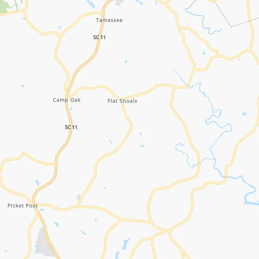
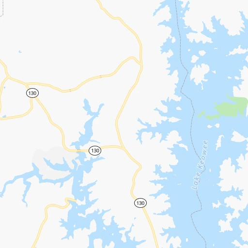
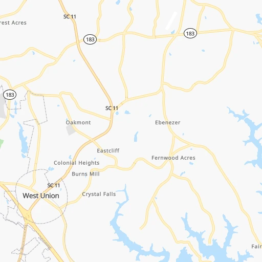
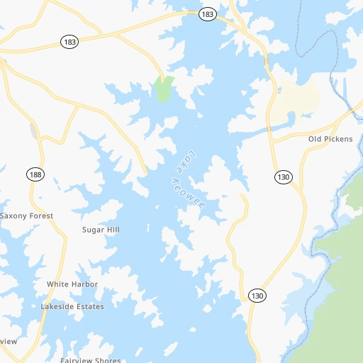
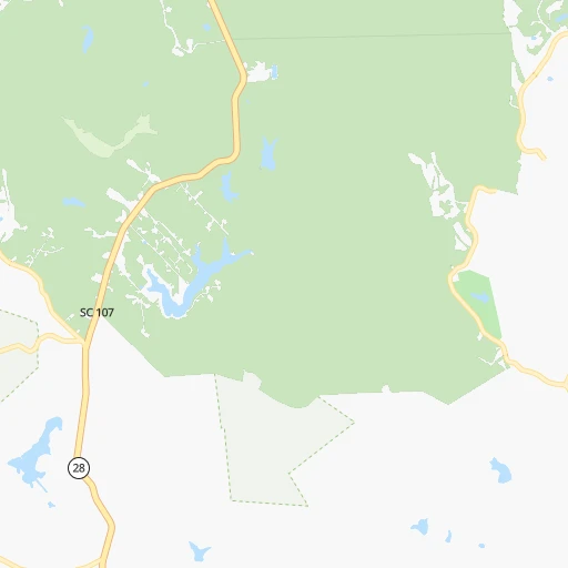
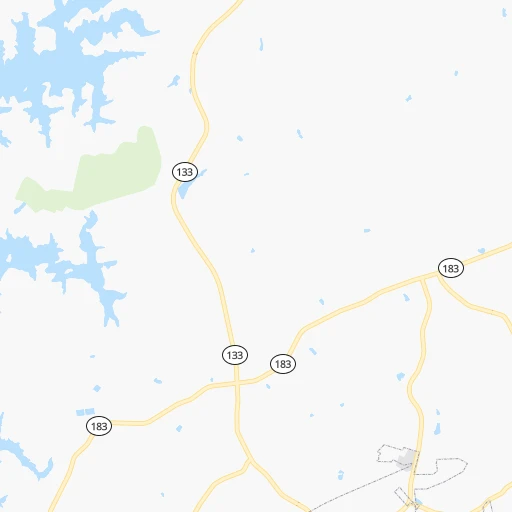
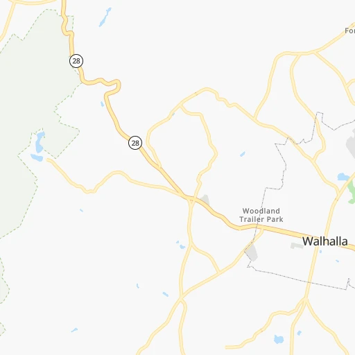
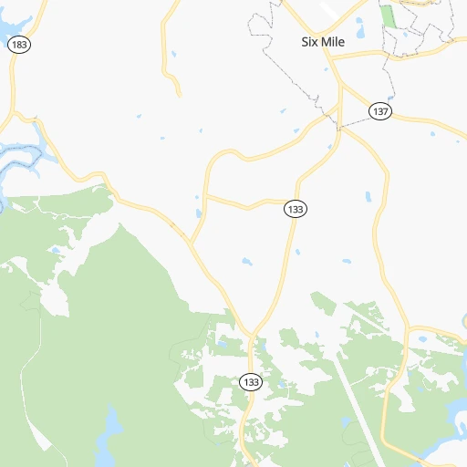
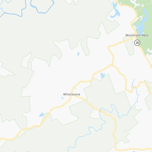
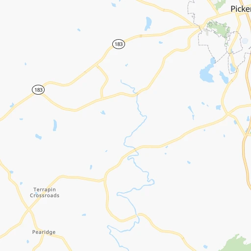
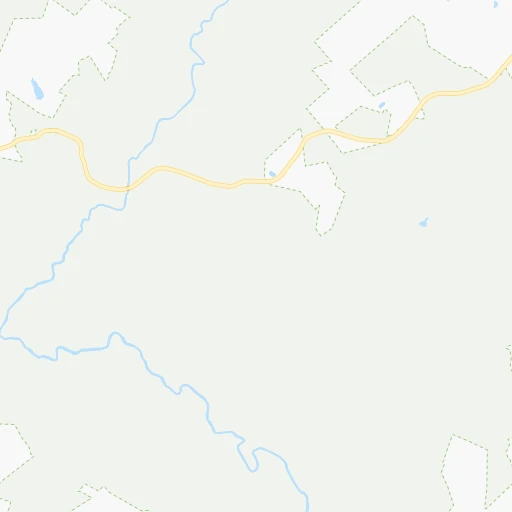
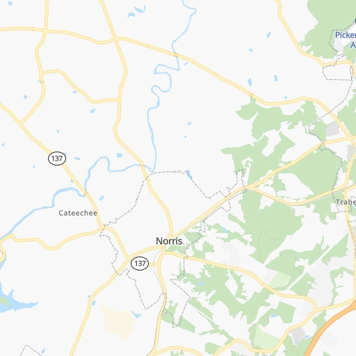
Roadmap (route) to go from Hawks Nest Farm Airport to Cleveland detailed above, you can also see the course layout on the map.
While doing trip Hawks Nest Farm (airport) - Cleveland by car, the calculated route ends at a distance , or more straight.
Distance and duration of the route between Hawks Nest Farm (airport) and Cleveland
Calculation of distance and route from Cleveland to Hawks Nest Farm (airport) :
175.4227.6 km3h21mn
Continue onto Burnt Tanyard Road 0h1mn 472 mTurn right onto Pickens Highway 0h9mn 8.7 kmTurn right onto East Main Street 0h10mn 10.0 kmTurn sharp left onto Whetstone Road 0h9mn 7.9 kmTurn left onto Chattooga Ridge Road 0h11mn 9.5 kmTurn right onto Long Creek Highway 0h13mn 16.8 kmTurn left onto Wall Street 0h0mn 137 mTurn right onto South Main Street 0h0mn 135 mTurn left onto West Savannah Street 1h43mn 49.9 kmTurn right onto GA 17, GA 515 0h6mn 7.5 kmTurn sharp left onto US 64 0h17mn 20.9 kmTurn left 0h0mn 58 mTurn right onto Martin's Creek Road 0h0mn 163 mTurn left onto Hiawasee Street 0h1mn 985 mTurn left onto US 19, US 64, US 74, US 129 1h39mn 50.1 kmKeep left 0h0mn 88 mTurn sharp right 1h37mn 41.6 kmContinue onto Waterlevel Highway 0h1mn 782 mContinue onto Inman Street East 0h2mn 2.0 kmArrive at destination 0h0mn 0 m
Travel from Hawks Nest Farm (airport) (Tennessee) to a selection of major cities.
Distances from Hawks Nest Farm Airport to biggest cities in South Carolina
- Taylors,21,617 inhabitants.65 km
- Saint Andrews,21,151 inhabitants.192 km
- Conway,21,053 inhabitants.379 km
- Easley,20,765 inhabitants.36 km
- Simpsonville,20,736 inhabitants.69 km
- Wade Hampton,20,622 inhabitants.62 km
- Lexington,20,138 inhabitants.186 km
Other major cities in country :
- Charlotte [NC], 827,097 inhabitants. 202 km
- Seattle [WA], 684,451 inhabitants. 3,542 km
- Denver [CO], 682,545 inhabitants. 2,018 km
- El Paso [TX], 681,124 inhabitants. 2,207 km
- Detroit [MI], 677,116 inhabitants. 837 km
- Boston [MA], 667,137 inhabitants. 1,334 km
- Memphis [TN], 655,770 inhabitants. 644 km
- New South Memphis [TN], 641,608 inhabitants. 645 km
- Portland [OR], 632,309 inhabitants. 3,538 km
- Oklahoma City [OK], 631,346 inhabitants. 1,322 km
- Las Vegas [NV], 623,747 inhabitants. 2,904 km
- Baltimore [MD], 621,849 inhabitants. 755 km
- Washington, D.C. [DC], 601,723 inhabitants. 699 km
- Milwaukee [WI], 600,155 inhabitants. 1,010 km
- South Boston [MA], 571,281 inhabitants. 1,333 km
- Albuquerque [NM], 559,121 inhabitants. 2,153 km
- Tucson [AZ], 531,641 inhabitants. 2,600 km
- Nashville [TN], 530,852 inhabitants. 375 km
- Fresno [CA], 520,052 inhabitants. 3,308 km
- Sacramento [CA], 490,712 inhabitants. 3,436 km
Route from Cleveland to major cities (United States).
- Distance Cleveland New York City1,136 km
- Distance Cleveland Los Angeles3,045 km
- Distance Cleveland Chicago783 km
- Distance Cleveland Brooklyn1,137 km
- Distance Cleveland Houston1,153 km
- Distance Cleveland Queens1,147 km
- Distance Cleveland Philadelphia1,009 km
- Distance Cleveland Phoenix2,500 km
- Distance Cleveland Manhattan1,143 km
- Distance Cleveland San Antonio1,430 km
- Distance Cleveland San Diego2,981 km
- Distance Cleveland The Bronx1,154 km
- Distance Cleveland Dallas1,132 km
- Distance Cleveland San Jose3,311 km
- Distance Cleveland Austin1,321 km
- Distance Cleveland Jacksonville616 km
- Distance Cleveland San Francisco3,351 km
- Distance Cleveland Columbus560 km
- Distance Cleveland Fort Worth1,180 km
- Distance Cleveland Indianapolis525 km
Nearest cities to Hawks Nest Farm (airport) :
- Charlotte, 827,097 inhabitants. 202 km
- Atlanta, 463,878 inhabitants. 174 km
- Winston-Salem, 241,218 inhabitants. 288 km
- Columbus, 200,579 inhabitants. 320 km
- Knoxville, 185,291 inhabitants. 153 km
- Chattanooga, 176,588 inhabitants. 213 km
- East Chattanooga, 154,024 inhabitants. 207 km
- Savannah, 145,674 inhabitants. 351 km
- Columbia, 133,803 inhabitants. 202 km
- Athens, 116,714 inhabitants. 101 km
- High Point, 110,268 inhabitants. 300 km
- Sandy Springs, 105,330 inhabitants. 161 km
- Roswell, 94,501 inhabitants. 153 km
- Macon, 91,351 inhabitants. 227 km
- Asheville, 88,512 inhabitants. 97 km
- Concord, 87,696 inhabitants. 230 km
- Johns Creek, 83,335 inhabitants. 140 km
- Gastonia, 74,543 inhabitants. 173 km
- Warner Robins, 73,490 inhabitants. 251 km
- Rock Hill, 71,548 inhabitants. 181 km
- Johnson City, 66,027 inhabitants. 177 km
- Greenville, 64,579 inhabitants. 55 km
- Alpharetta, 63,693 inhabitants. 144 km
- Auburn, 62,059 inhabitants. 336 km
- Marietta, 59,067 inhabitants. 171 km
- Smyrna, 56,146 inhabitants. 173 km
- Kingsport, 53,014 inhabitants. 198 km
- Huntersville, 52,704 inhabitants. 207 km
- Brookhaven, 51,910 inhabitants. 162 km
- Stonecrest, 50,000 inhabitants. 161 km
- Summerville, 48,848 inhabitants. 328 km
- Dunwoody, 48,733 inhabitants. 156 km
- Kannapolis, 46,144 inhabitants. 229 km
- Blacksburg, 44,215 inhabitants. 356 km
- Cleveland, 43,898 inhabitants. 176 km
- Augusta, 43,459 inhabitants. 176 km
- Peachtree Corners, 40,978 inhabitants. 146 km
- Sumter, 40,816 inhabitants. 263 km
- Goose Creek, 40,633 inhabitants. 341 km
- Hilton Head Island, 40,512 inhabitants. 359 km
- North Atlanta, 40,456 inhabitants. 162 km
- Hickory, 40,374 inhabitants. 182 km
- Gainesville, 38,712 inhabitants. 95 km
- Spartanburg, 37,867 inhabitants. 99 km
- Phenix City, 37,570 inhabitants. 320 km
- Milton, 37,547 inhabitants. 141 km
- Newnan, 37,291 inhabitants. 230 km
- Mableton, 37,115 inhabitants. 183 km
- Hilton Head, 37,099 inhabitants. 356 km
- Indian Trail, 37,073 inhabitants. 215 km
Location Hawks Nest Farm (airport) (South Carolina) :
| Country flag |  |
| Location | Hawks Nest Farm (airport) |
| State | South Carolina |
| County | Oconee County |
| Country | United States |
| Country code / ISO 2 | US |
| Latitude | 34.8085300 |
| Longitude | -82.9985900 |
| Altitude | 313 meters |
| Time zone | America/New_York |
Location Cleveland (Tennessee) :
| Country flag | |
| Location | Cleveland |
| State | Tennessee |
| County | Bradley County |
| Country | United States |
| Country code / ISO 2 | US |
| Latitude | 35.1595200 |
| Longitude | -84.8766100 |
| Altitude | 265 meters |
| Time zone | America/New_York |


