
How to get from Philippolis Road (Orange Free State) to Hoopstad (Orange Free State)
Calculate route from Philippolis Road (Orange Free State, South Africa) to Hoopstad (Orange Free State, South Africa).
The flight distance (as the crow flies) between Philippolis Road and Hoopstad is 265.6 km.
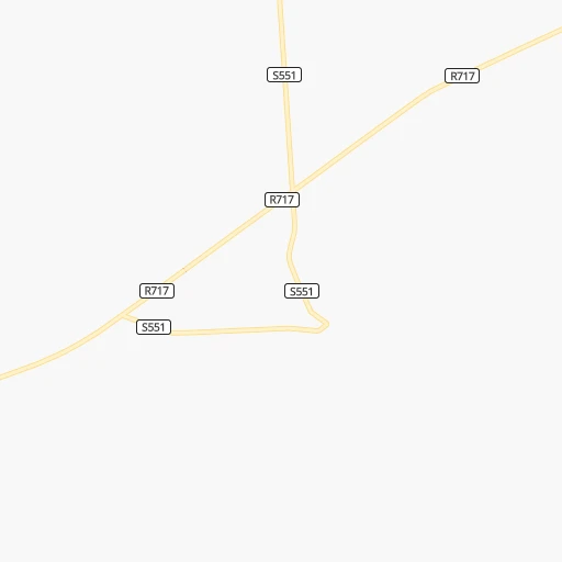
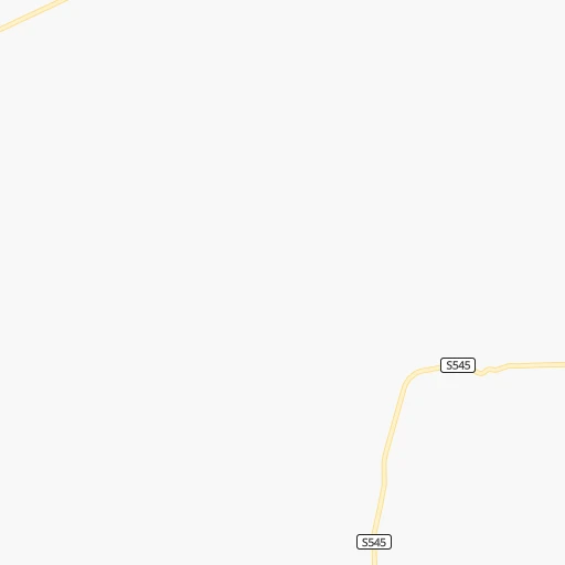
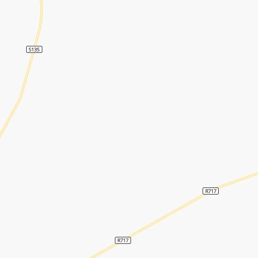
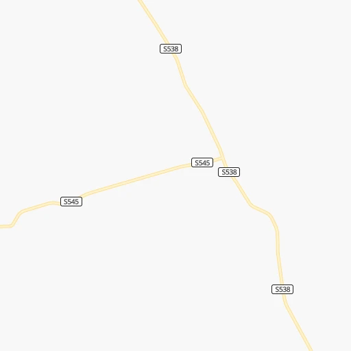
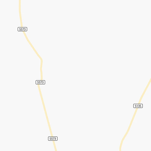
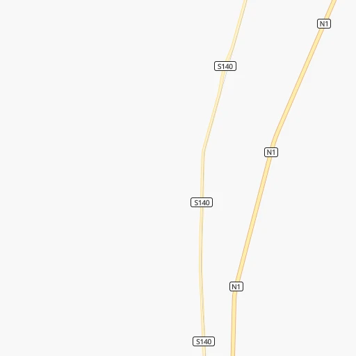
Roadmap (route) to go from Philippolis Road to Hoopstad detailed above, you can also see the course layout on the map.
While doing trip Philippolis Road - Hoopstad by car, the calculated route ends at a distance , or more straight.
Distance and duration of the route between Philippolis Road and Hoopstad
Calculation of distance and route from Hoopstad to Philippolis Road :
265.6308.9 km4h50mn
Continue onto S551 0h4mn 2.2 kmTurn right onto R717 1h36mn 36.3 kmKeep left 0h0mn 36 mTurn slight left onto R717, R704 0h1mn 636 mTurn right onto R704 0h1mn 1.1 kmTurn left and take N1 toward Bloemfontein 0h0mn 510 mTurn slight left onto N1 1h8mn 122.0 kmKeep left and take R700 toward Bultfontein 0h0mn 534 mTurn left onto R700 1h1mn 89.4 kmKeep left 0h1mn 656 mContinue onto R700 1h53mn 52.8 kmContinue onto R59 0h1mn 1.4 kmTurn right onto Van Zyl Street 0h1mn 578 mTurn left onto Hoofd Street 0h0mn 140 mTurn right onto Kamp Street 0h0mn 210 mTurn left onto Le Rey Street 0h0mn 52 mTurn right onto School Street 0h0mn 138 mTurn left onto Buiten Street 0h0mn 206 mArrive at destination 0h0mn 0 m
Travel from Philippolis Road (Orange Free State) to a selection of major cities.
Distances from Philippolis Road to biggest cities in Orange Free State
Other major cities in country :
- Centurion [06], 233,386 inhabitants. 552 km
- Uitenhage [05], 228,912 inhabitants. 397 km
- Roodepoort [06], 225,000 inhabitants. 507 km
- Paarl [11], 190,000 inhabitants. 728 km
- Springs [06], 186,394 inhabitants. 525 km
- Carletonville [06], 182,304 inhabitants. 467 km
- Klerksdorp [10], 178,921 inhabitants. 390 km
- Midrand [06], 173,009 inhabitants. 536 km
- Westonaria [06], 156,831 inhabitants. 482 km
- Middelburg [07], 154,706 inhabitants. 630 km
- Vryheid [02], 150,012 inhabitants. 585 km
- Orkney [10], 145,801 inhabitants. 377 km
- Kimberley [08], 142,089 inhabitants. 175 km
- eMbalenhle [07], 141,741 inhabitants. 539 km
- Nigel [06], 140,644 inhabitants. 513 km
- Mpumalanga [02], 140,121 inhabitants. 501 km
- Bhisho [05], 137,287 inhabitants. 351 km
- Randfontein [06], 133,654 inhabitants. 497 km
- Worcester [11], 127,597 inhabitants. 685 km
- Rustenburg [10], 124,064 inhabitants. 533 km
Route from Hoopstad to major cities (South Africa).
- Distance Hoopstad Cape Town985 km
- Distance Hoopstad Durban548 km
- Distance Hoopstad Johannesburg279 km
- Distance Hoopstad Soweto260 km
- Distance Hoopstad Pretoria325 km
- Distance Hoopstad Port Elizabeth683 km
- Distance Hoopstad Pietermaritzburg481 km
- Distance Hoopstad Benoni301 km
- Distance Hoopstad Tembisa308 km
- Distance Hoopstad East London608 km
- Distance Hoopstad Vereeniging238 km
- Distance Hoopstad Boksburg295 km
- Distance Hoopstad Newcastle396 km
- Distance Hoopstad Krugersdorp269 km
- Distance Hoopstad Diepsloot297 km
- Distance Hoopstad Randburg284 km
- Distance Hoopstad Brakpan302 km
- Distance Hoopstad Witbank396 km
- Distance Hoopstad Richards Bay610 km
- Distance Hoopstad Vanderbijlpark228 km
Nearest cities to Philippolis Road :
- East London, 478,676 inhabitants. 392 km
- Bloemfontein, 463,064 inhabitants. 140 km
- Welkom, 431,944 inhabitants. 276 km
- Botshabelo, 309,714 inhabitants. 160 km
- Kimberley, 142,089 inhabitants. 175 km
- Bhisho, 137,287 inhabitants. 351 km
- Virginia, 122,502 inhabitants. 270 km
- Queenstown, 105,309 inhabitants. 234 km
- Kroonstad, 103,992 inhabitants. 332 km
- Kutloanong, 95,008 inhabitants. 291 km
- Bethlehem, 83,654 inhabitants. 353 km
- Bothaville, 71,934 inhabitants. 332 km
- Graaff-Reinet, 62,896 inhabitants. 246 km
- Fort Beaufort, 58,419 inhabitants. 309 km
- Heilbron, 55,196 inhabitants. 406 km
- Viljoenskroon, 54,955 inhabitants. 363 km
- Wolmaransstad, 49,366 inhabitants. 337 km
- Beaufort West, 44,737 inhabitants. 364 km
- Aliwal North, 44,436 inhabitants. 133 km
- Wesselsbron, 42,552 inhabitants. 275 km
- Senekal, 39,584 inhabitants. 296 km
- Thaba Nchu, 38,616 inhabitants. 173 km
- Stutterheim, 35,510 inhabitants. 325 km
- Theunissen, 34,718 inhabitants. 232 km
- Butterworth, 34,353 inhabitants. 350 km
- Cradock, 32,898 inhabitants. 220 km
- De Aar, 32,318 inhabitants. 147 km
- Allanridge, 31,700 inhabitants. 295 km
- Postmasburg, 30,089 inhabitants. 310 km
- Lady Frere, 25,041 inhabitants. 239 km
- Hennenman, 22,847 inhabitants. 290 km
- Pampierstad, 21,800 inhabitants. 278 km
- Queensdale, 20,009 inhabitants. 237 km
- Middelburg, 18,164 inhabitants. 151 km
- Warrenton, 17,946 inhabitants. 238 km
- Christiana, 17,523 inhabitants. 255 km
- Ladybrand, 17,228 inhabitants. 223 km
- Bloemhof, 17,122 inhabitants. 283 km
- Reitz, 16,637 inhabitants. 393 km
- Somerset East, 16,155 inhabitants. 282 km
- Jan Kempdorp, 13,485 inhabitants. 260 km
- Hoopstad, 12,663 inhabitants. 266 km
- Burgersdorp, 12,548 inhabitants. 123 km
- Zastron, 12,449 inhabitants. 157 km
- Colesberg, 12,423 inhabitants. 68 km
- Clocolan, 12,318 inhabitants. 249 km
- Adelaide, 12,212 inhabitants. 292 km
- Brandfort, 12,091 inhabitants. 192 km
- Whittlesea, 12,080 inhabitants. 257 km
- Lindley, 12,000 inhabitants. 351 km
Location Philippolis Road (Orange Free State) :
| Country flag |  |
| Location | Philippolis Road |
| State | Orange Free State |
| County | Xhariep District Municipality |
| Country | South Africa |
| Country code / ISO 2 | ZA |
| Latitude | -30.1892000 |
| Longitude | 25.4530500 |
| Altitude | 0 meters |
| Time zone | Africa/Johannesburg |
Location Hoopstad (Orange Free State) :
| Country flag | |
| Location | Hoopstad |
| State | Orange Free State |
| County | Lejweleputswa District Municipality |
| Country | South Africa |
| Country code / ISO 2 | ZA |
| Latitude | -27.8327300 |
| Longitude | 25.9083300 |
| Altitude | 0 meters |
| Time zone | Africa/Johannesburg |