
How to get from Upington (airport) (Northern Cape) to Kenhardt (Northern Cape)
Calculate route from Upington (airport) (Northern Cape, South Africa) to Kenhardt (Northern Cape, South Africa).
The flight distance (as the crow flies) between Upington (airport) and Kenhardt is 105.7 km.
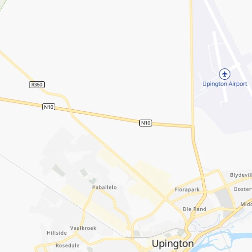
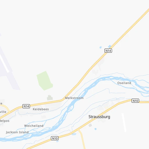
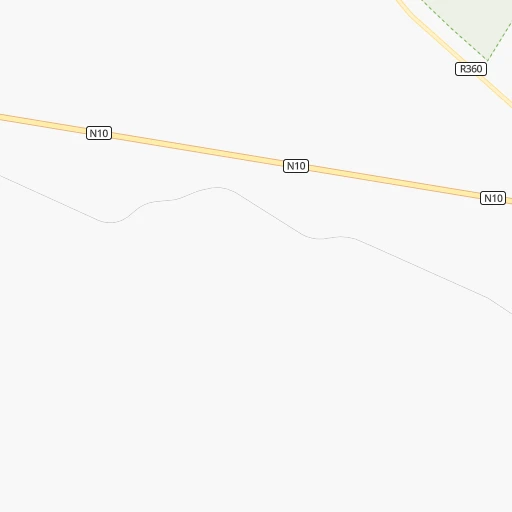
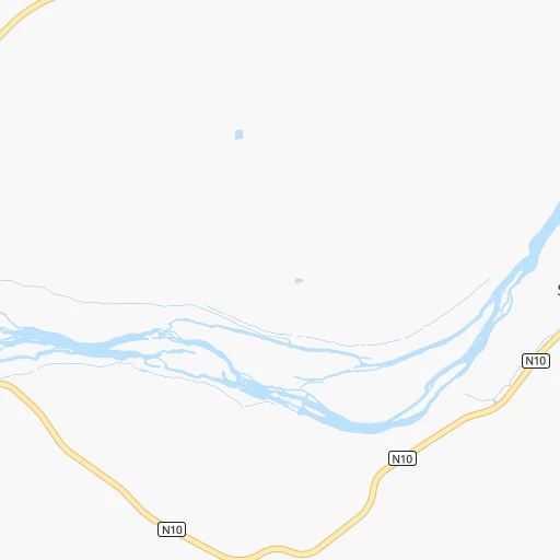
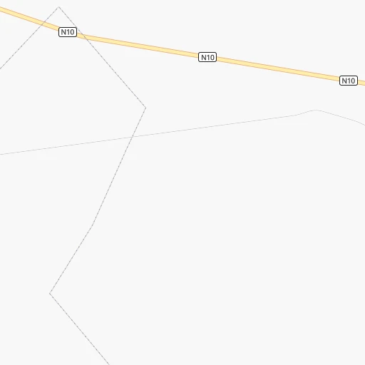
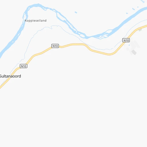
Roadmap (route) to go from Upington Airport to Kenhardt detailed above, you can also see the course layout on the map.
While doing trip Upington (airport) - Kenhardt by car, the calculated route ends at a distance , or more straight.
Distance and duration of the route between Upington (airport) and Kenhardt
Calculation of distance and route from Kenhardt to Upington (airport) :
105.7121.6 km1h25mn
Continue 0h0mn 103 mTurn right 0h0mn 24 mTurn left 0h0mn 38 mTurn right 0h1mn 744 mTurn left 0h1mn 939 mContinue onto N10 0h3mn 3.3 kmAt roundabout, take exit 3 onto Le Roux Street 1h35mn 41.2 kmContinue onto Kenhardt Road 1h44mn 74.8 kmTurn left 0h1mn 567 mArrive at destination 0h0mn 0 m
Travel from Upington (airport) (Northern Cape) to a selection of major cities.
Distances from Upington Airport to biggest cities in Northern Cape
Other major cities in country :
- Witbank [07], 262,491 inhabitants. 838 km
- Richards Bay [02], 252,968 inhabitants. 1,054 km
- Vanderbijlpark [06], 246,754 inhabitants. 676 km
- Centurion [06], 233,386 inhabitants. 742 km
- Uitenhage [05], 228,912 inhabitants. 715 km
- Roodepoort [06], 225,000 inhabitants. 700 km
- Paarl [11], 190,000 inhabitants. 633 km
- Springs [06], 186,394 inhabitants. 745 km
- Carletonville [06], 182,304 inhabitants. 648 km
- Klerksdorp [10], 178,921 inhabitants. 560 km
- Midrand [06], 173,009 inhabitants. 731 km
- Westonaria [06], 156,831 inhabitants. 673 km
- Middelburg [07], 154,706 inhabitants. 864 km
- Vryheid [02], 150,012 inhabitants. 938 km
- Orkney [10], 145,801 inhabitants. 556 km
- eMbalenhle [07], 141,741 inhabitants. 798 km
- Nigel [06], 140,644 inhabitants. 746 km
- Mpumalanga [02], 140,121 inhabitants. 925 km
- Bhisho [05], 137,287 inhabitants. 772 km
- Randfontein [06], 133,654 inhabitants. 683 km
Route from Kenhardt to major cities (South Africa).
- Distance Kenhardt Cape Town572 km
- Distance Kenhardt Durban957 km
- Distance Kenhardt Johannesburg763 km
- Distance Kenhardt Soweto743 km
- Distance Kenhardt Pretoria801 km
- Distance Kenhardt Port Elizabeth665 km
- Distance Kenhardt Pietermaritzburg895 km
- Distance Kenhardt Benoni788 km
- Distance Kenhardt Tembisa790 km
- Distance Kenhardt East London762 km
- Distance Kenhardt Vereeniging729 km
- Distance Kenhardt Bloemfontein492 km
- Distance Kenhardt Boksburg781 km
- Distance Kenhardt Welkom566 km
- Distance Kenhardt Newcastle876 km
- Distance Kenhardt Krugersdorp746 km
- Distance Kenhardt Diepsloot775 km
- Distance Kenhardt Randburg765 km
- Distance Kenhardt Botshabelo541 km
- Distance Kenhardt Brakpan790 km
Nearest cities to Upington (airport) :
- Upington, 71,373 inhabitants. 5 km
- De Aar, 32,318 inhabitants. 366 km
- Postmasburg, 30,089 inhabitants. 177 km
- Prieska, 11,236 inhabitants. 202 km
- Danielskuil, 10,123 inhabitants. 225 km
- Kathu, 9,219 inhabitants. 192 km
- Kuruman, 9,093 inhabitants. 238 km
- Carnarvon, 5,785 inhabitants. 298 km
- Kenhardt, 4,842 inhabitants. 106 km
- Pofadder, 3,287 inhabitants. 199 km
Location Upington (airport) (Northern Cape) :
| Country flag |  |
| Location | Upington (airport) |
| State | Northern Cape |
| County | Siyanda District Municipality |
| Country | South Africa |
| Country code / ISO 2 | ZA |
| Latitude | -28.3991000 |
| Longitude | 21.2602400 |
| Altitude | 847 meters |
| Time zone | Africa/Johannesburg |
Location Kenhardt (Northern Cape) :
| Country flag | |
| Location | Kenhardt |
| State | Northern Cape |
| County | Siyanda District Municipality |
| Country | South Africa |
| Country code / ISO 2 | ZA |
| Latitude | -29.3457400 |
| Longitude | 21.1578600 |
| Altitude | 0 meters |
| Time zone | Africa/Johannesburg |