


How to get from Rysmierbult (North-West) to Kroonstad (Orange Free State)
Calculate route from Rysmierbult (North-West, South Africa) to Kroonstad (Orange Free State, South Africa).
The flight distance (as the crow flies) between Rysmierbult and Kroonstad is 144.7 km.
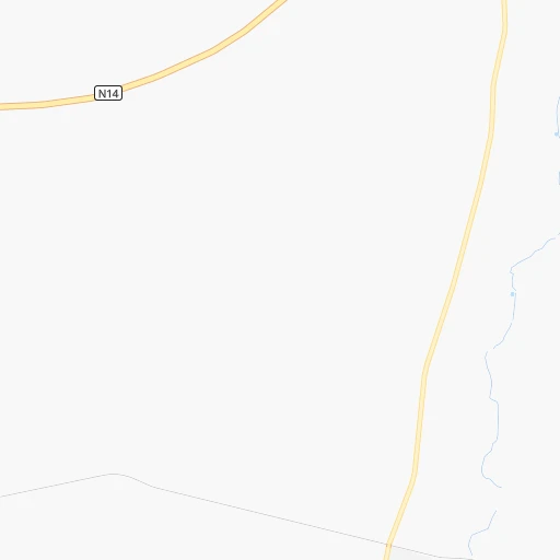
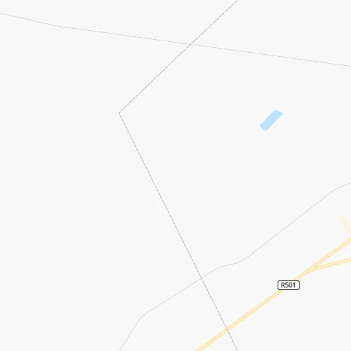
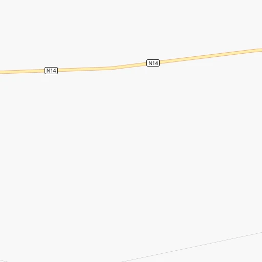
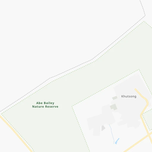
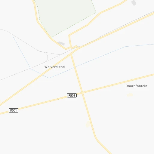
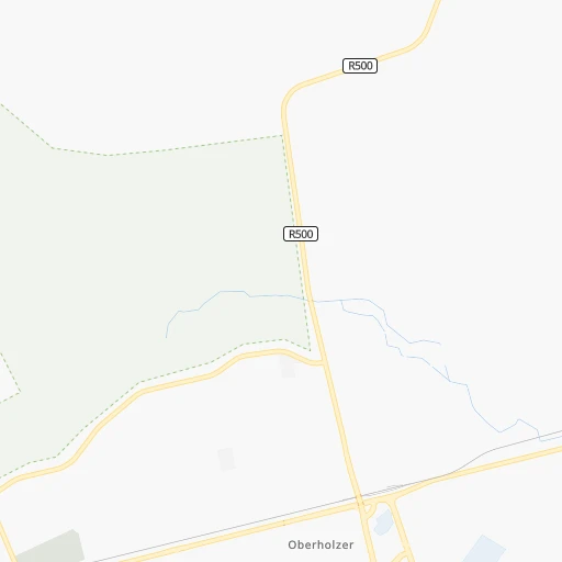
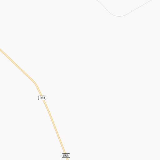
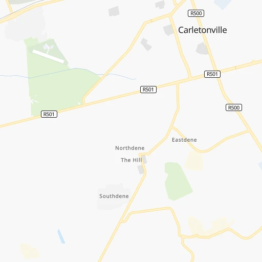
Roadmap (route) to go from Rysmierbult to Kroonstad detailed above, you can also see the course layout on the map.
While doing trip Rysmierbult - Kroonstad by car, the calculated route ends at a distance , or more straight.
Distance and duration of the route between Rysmierbult and Kroonstad
Calculation of distance and route from Kroonstad to Rysmierbult :
144.7165.7 km3h52mn
Continue 0h0mn 131 mTurn right 0h1mn 281 mTurn left 0h0mn 113 mTurn sharp right 0h0mn 101 mTurn sharp left 0h25mn 20.9 kmTurn sharp right onto R501 0h15mn 19.7 kmAt roundabout, take exit 2 onto Thabo Mbeki Avenue 0h0mn 309 mAt roundabout, take exit 2 onto Thabo Mbeki Avenue 0h2mn 1.9 kmKeep left and take R53 toward Albert Luthuli Drive 0h0mn 132 mContinue onto Albert Luthuli Drive 0h1mn 552 mTurn right onto Govan Mbeki Drive 1h48mn 48.3 kmTurn right onto R59 0h10mn 10.6 kmKeep left 0h0mn 85 mTurn slight left onto R76 1h9mn 61.7 kmAt roundabout, take exit 1 0h0mn 132 mTurn right onto Turner Street 0h1mn 338 mTurn right onto Koller Street 0h0mn 99 mTurn left onto Gowlett Street 0h0mn 136 mArrive at destination 0h0mn 0 m
Travel from Rysmierbult (Orange Free State) to a selection of major cities.
Distances from Rysmierbult to biggest cities in North-West
Other major cities in country :
- Witbank [07], 262,491 inhabitants. 216 km
- Richards Bay [02], 252,968 inhabitants. 554 km
- Vanderbijlpark [06], 246,754 inhabitants. 81 km
- Centurion [06], 233,386 inhabitants. 118 km
- Uitenhage [05], 228,912 inhabitants. 841 km
- Roodepoort [06], 225,000 inhabitants. 77 km
- Paarl [11], 190,000 inhabitants. 1,137 km
- Springs [06], 186,394 inhabitants. 127 km
- Carletonville [06], 182,304 inhabitants. 26 km
- Midrand [06], 173,009 inhabitants. 107 km
- Westonaria [06], 156,831 inhabitants. 51 km
- Middelburg [07], 154,706 inhabitants. 242 km
- Vryheid [02], 150,012 inhabitants. 395 km
- Kimberley [08], 142,089 inhabitants. 354 km
- eMbalenhle [07], 141,741 inhabitants. 194 km
- Nigel [06], 140,644 inhabitants. 134 km
- Mpumalanga [02], 140,121 inhabitants. 516 km
- Bhisho [05], 137,287 inhabitants. 724 km
- Randfontein [06], 133,654 inhabitants. 60 km
- Worcester [11], 127,597 inhabitants. 1,099 km
Route from Kroonstad to major cities (South Africa).
- Distance Kroonstad Cape Town1,094 km
- Distance Kroonstad Durban444 km
- Distance Kroonstad Johannesburg180 km
- Distance Kroonstad Soweto166 km
- Distance Kroonstad Pretoria232 km
- Distance Kroonstad Port Elizabeth719 km
- Distance Kroonstad Pietermaritzburg378 km
- Distance Kroonstad Benoni195 km
- Distance Kroonstad Tembisa209 km
- Distance Kroonstad East London601 km
- Distance Kroonstad Vereeniging129 km
- Distance Kroonstad Boksburg190 km
- Distance Kroonstad Newcastle266 km
- Distance Kroonstad Krugersdorp182 km
- Distance Kroonstad Diepsloot206 km
- Distance Kroonstad Randburg189 km
- Distance Kroonstad Brakpan194 km
- Distance Kroonstad Witbank280 km
- Distance Kroonstad Richards Bay488 km
- Distance Kroonstad Vanderbijlpark120 km
Nearest cities to Rysmierbult :
- Johannesburg, 2,026,469 inhabitants. 92 km
- Soweto, 1,695,047 inhabitants. 73 km
- Pretoria, 1,619,438 inhabitants. 125 km
- Benoni, 605,344 inhabitants. 120 km
- Tembisa, 511,655 inhabitants. 116 km
- Vereeniging, 474,681 inhabitants. 87 km
- Bloemfontein, 463,064 inhabitants. 321 km
- Boksburg, 445,168 inhabitants. 113 km
- Welkom, 431,944 inhabitants. 185 km
- Newcastle, 404,838 inhabitants. 318 km
- Krugersdorp, 378,821 inhabitants. 70 km
- Diepsloot, 350,000 inhabitants. 99 km
- Randburg, 337,053 inhabitants. 91 km
- Botshabelo, 309,714 inhabitants. 327 km
- Brakpan, 305,692 inhabitants. 124 km
- Witbank, 262,491 inhabitants. 216 km
- Vanderbijlpark, 246,754 inhabitants. 81 km
- Centurion, 233,386 inhabitants. 118 km
- Roodepoort, 225,000 inhabitants. 77 km
- Springs, 186,394 inhabitants. 127 km
- Carletonville, 182,304 inhabitants. 26 km
- Klerksdorp, 178,921 inhabitants. 73 km
- Midrand, 173,009 inhabitants. 107 km
- Westonaria, 156,831 inhabitants. 51 km
- Middelburg, 154,706 inhabitants. 242 km
- Orkney, 145,801 inhabitants. 84 km
- Kimberley, 142,089 inhabitants. 354 km
- eMbalenhle, 141,741 inhabitants. 194 km
- Nigel, 140,644 inhabitants. 134 km
- Randfontein, 133,654 inhabitants. 60 km
- Rustenburg, 124,064 inhabitants. 77 km
- Polokwane, 123,749 inhabitants. 360 km
- Potchefstroom, 123,669 inhabitants. 41 km
- Virginia, 122,502 inhabitants. 197 km
- Brits, 122,497 inhabitants. 103 km
- Alberton, 121,536 inhabitants. 99 km
- Kroonstad, 103,992 inhabitants. 145 km
- Bethal, 101,919 inhabitants. 233 km
- Mokopane, 101,090 inhabitants. 305 km
- Mabopane, 97,417 inhabitants. 136 km
- Kutloanong, 95,008 inhabitants. 169 km
- Stilfontein, 93,110 inhabitants. 66 km
- Delmas, 92,046 inhabitants. 156 km
- Warmbaths, 90,210 inhabitants. 200 km
- Phuthaditjhaba, 84,258 inhabitants. 293 km
- Bethlehem, 83,654 inhabitants. 239 km
- Sasolburg, 77,016 inhabitants. 85 km
- Mmabatho, 76,754 inhabitants. 160 km
- Standerton, 74,021 inhabitants. 219 km
- Bothaville, 71,934 inhabitants. 126 km
Location Rysmierbult (North-West) :
| Country flag |  |
| Location | Rysmierbult |
| State | North-West |
| County | Dr Kenneth Kaunda District Municipality |
| Country | South Africa |
| Country code / ISO 2 | ZA |
| Latitude | -26.3513200 |
| Longitude | 27.1350700 |
| Altitude | 0 meters |
| Time zone | Africa/Johannesburg |
Location Kroonstad (Orange Free State) :
| Country flag | |
| Location | Kroonstad |
| State | Orange Free State |
| County | Fezile Dabi District Municipality |
| Country | South Africa |
| Country code / ISO 2 | ZA |
| Latitude | -27.6503600 |
| Longitude | 27.2348800 |
| Altitude | 0 meters |
| Time zone | Africa/Johannesburg |