
How to get from Schalksrus (Mpumalanga) to Thohoyandou (Limpopo)
Calculate route from Schalksrus (Mpumalanga, South Africa) to Thohoyandou (Limpopo, South Africa).
The flight distance (as the crow flies) between Schalksrus and Thohoyandou is 220.1 km.
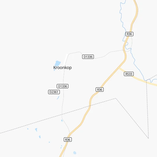
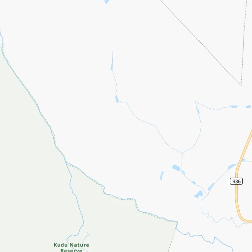
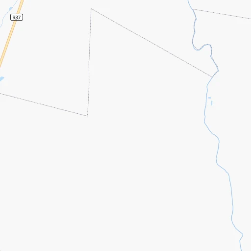
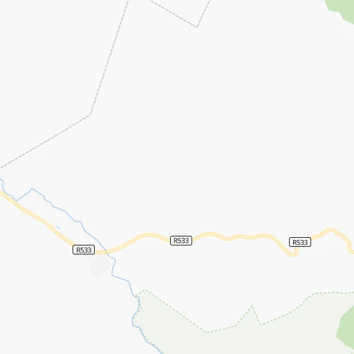
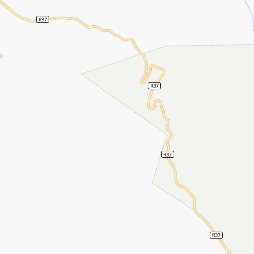
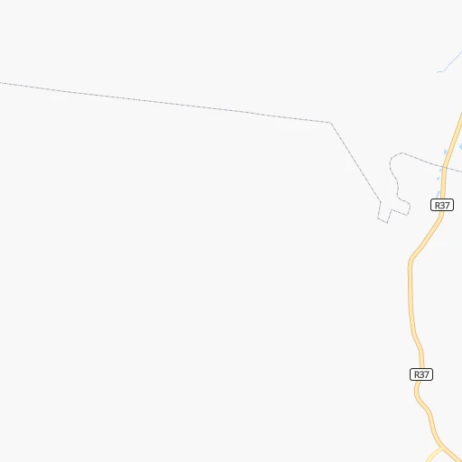
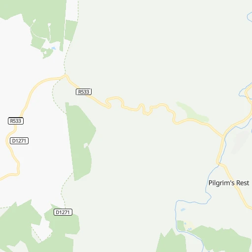
Roadmap (route) to go from Schalksrus to Thohoyandou detailed above, you can also see the course layout on the map.
While doing trip Schalksrus - Thohoyandou by car, the calculated route ends at a distance , or more straight.
Distance and duration of the route between Schalksrus and Thohoyandou
Calculation of distance and route from Thohoyandou to Schalksrus :
220.1291.4 km4h6mn
Continue onto R36 1h9mn 79.6 kmTurn left onto R36 1h49mn 53.6 kmTurn right onto R529 0h0mn 456 mTurn sharp left onto R529 0h18mn 18.2 kmTurn right onto R71 0h1mn 1.2 kmTurn left 0h17mn 30.1 kmTurn left onto D1597 0h1mn 1.2 kmTurn right onto R529 0h29mn 44.1 kmTurn right onto R81 1h38mn 38.2 kmTurn left onto D4 0h3mn 4.2 kmTurn right onto D3756 0h8mn 12.0 kmTurn left onto R524 0h5mn 4.9 kmTurn right 0h1mn 453 mTurn left 0h0mn 133 mTurn right 0h0mn 52 mTurn left 0h1mn 366 mTurn right 0h3mn 1.5 kmTurn right 0h0mn 216 mTurn left 0h1mn 366 mTurn slight right 0h0mn 151 mTurn left onto Khoroni street 0h1mn 256 mArrive at destination 0h0mn 0 m
Travel from Schalksrus (Limpopo) to a selection of major cities.
Distances from Schalksrus to biggest cities in Mpumalanga
Other major cities in country :
- Richards Bay [02], 252,968 inhabitants. 455 km
- Vanderbijlpark [06], 246,754 inhabitants. 335 km
- Centurion [06], 233,386 inhabitants. 258 km
- Uitenhage [05], 228,912 inhabitants. 1,102 km
- Roodepoort [06], 225,000 inhabitants. 301 km
- Paarl [11], 190,000 inhabitants. 1,488 km
- Springs [06], 186,394 inhabitants. 260 km
- Carletonville [06], 182,304 inhabitants. 353 km
- Klerksdorp [10], 178,921 inhabitants. 443 km
- Midrand [06], 173,009 inhabitants. 269 km
- Westonaria [06], 156,831 inhabitants. 328 km
- Vryheid [02], 150,012 inhabitants. 318 km
- Orkney [10], 145,801 inhabitants. 449 km
- Kimberley [08], 142,089 inhabitants. 713 km
- Nigel [06], 140,644 inhabitants. 266 km
- Mpumalanga [02], 140,121 inhabitants. 544 km
- Bhisho [05], 137,287 inhabitants. 932 km
- Randfontein [06], 133,654 inhabitants. 317 km
- Worcester [11], 127,597 inhabitants. 1,448 km
- Rustenburg [10], 124,064 inhabitants. 341 km
Route from Thohoyandou to major cities (South Africa).
- Distance Thohoyandou Cape Town1,697 km
- Distance Thohoyandou Durban771 km
- Distance Thohoyandou Johannesburg439 km
- Distance Thohoyandou Soweto455 km
- Distance Thohoyandou Pretoria389 km
- Distance Thohoyandou Port Elizabeth1,315 km
- Distance Thohoyandou Pietermaritzburg743 km
- Distance Thohoyandou Benoni422 km
- Distance Thohoyandou Tembisa409 km
- Distance Thohoyandou East London1,149 km
- Distance Thohoyandou Vereeniging489 km
- Distance Thohoyandou Bloemfontein809 km
- Distance Thohoyandou Boksburg428 km
- Distance Thohoyandou Welkom675 km
- Distance Thohoyandou Newcastle539 km
- Distance Thohoyandou Krugersdorp444 km
- Distance Thohoyandou Diepsloot416 km
- Distance Thohoyandou Randburg431 km
- Distance Thohoyandou Botshabelo798 km
- Distance Thohoyandou Brakpan424 km
Nearest cities to Schalksrus :
- Johannesburg, 2,026,469 inhabitants. 288 km
- Soweto, 1,695,047 inhabitants. 307 km
- Pretoria, 1,619,438 inhabitants. 253 km
- Benoni, 605,344 inhabitants. 263 km
- Tembisa, 511,655 inhabitants. 261 km
- Vereeniging, 474,681 inhabitants. 326 km
- Boksburg, 445,168 inhabitants. 269 km
- Newcastle, 404,838 inhabitants. 321 km
- Krugersdorp, 378,821 inhabitants. 306 km
- Diepsloot, 350,000 inhabitants. 277 km
- Randburg, 337,053 inhabitants. 286 km
- Brakpan, 305,692 inhabitants. 262 km
- Witbank, 262,491 inhabitants. 168 km
- Vanderbijlpark, 246,754 inhabitants. 335 km
- Centurion, 233,386 inhabitants. 258 km
- Roodepoort, 225,000 inhabitants. 301 km
- Springs, 186,394 inhabitants. 260 km
- Midrand, 173,009 inhabitants. 269 km
- Westonaria, 156,831 inhabitants. 328 km
- Middelburg, 154,706 inhabitants. 143 km
- Vryheid, 150,012 inhabitants. 318 km
- eMbalenhle, 141,741 inhabitants. 232 km
- Nigel, 140,644 inhabitants. 266 km
- Randfontein, 133,654 inhabitants. 317 km
- Polokwane, 123,749 inhabitants. 157 km
- Brits, 122,497 inhabitants. 288 km
- Alberton, 121,536 inhabitants. 284 km
- Nelspruit, 110,159 inhabitants. 75 km
- Phalaborwa, 109,468 inhabitants. 126 km
- Bethal, 101,919 inhabitants. 201 km
- Mokopane, 101,090 inhabitants. 174 km
- Mabopane, 97,417 inhabitants. 253 km
- Delmas, 92,046 inhabitants. 230 km
- Warmbaths, 90,210 inhabitants. 227 km
- Louis Trichardt, 86,854 inhabitants. 219 km
- Piet Retief, 84,349 inhabitants. 233 km
- Sasolburg, 77,016 inhabitants. 344 km
- Standerton, 74,021 inhabitants. 258 km
- Ga-Rankuwa, 68,767 inhabitants. 267 km
- Barberton, 67,927 inhabitants. 109 km
- Heidelberg, 64,199 inhabitants. 280 km
- Heilbron, 55,196 inhabitants. 367 km
- Edenvale, 49,292 inhabitants. 275 km
- Balfour, 46,008 inhabitants. 274 km
- Thohoyandou, 44,046 inhabitants. 221 km
- Volksrust, 43,378 inhabitants. 279 km
- Ermelo, 41,124 inhabitants. 187 km
- Ekangala, 37,650 inhabitants. 199 km
- Giyani, 37,024 inhabitants. 182 km
- Lebowakgomo, 33,308 inhabitants. 132 km
Location Schalksrus (Mpumalanga) :
| Country flag |  |
| Location | Schalksrus |
| State | Mpumalanga |
| County | Ehlanzeni District |
| Country | South Africa |
| Country code / ISO 2 | ZA |
| Latitude | -24.9260700 |
| Longitude | 30.5333000 |
| Altitude | 0 meters |
| Time zone | Africa/Johannesburg |
Location Thohoyandou (Limpopo) :
| Country flag | |
| Location | Thohoyandou |
| State | Limpopo |
| County | Vhembe District Municipality |
| Country | South Africa |
| Country code / ISO 2 | ZA |
| Latitude | -22.9456400 |
| Longitude | 30.4849700 |
| Altitude | 0 meters |
| Time zone | Africa/Johannesburg |


