


How to get from Stantsiya Horyayinove (Dnipropetrovsk) to Marhanets’ (Dnipropetrovsk)
Calculate route from Stantsiya Horyayinove (Dnipropetrovsk, Ukraine) to Marhanets’ (Dnipropetrovsk, Ukraine).
The flight distance (as the crow flies) between Stantsiya Horyayinove and Marhanets’ is 97.4 km.
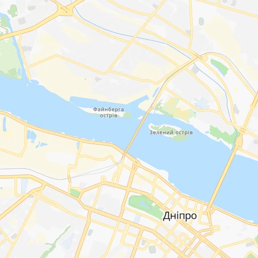
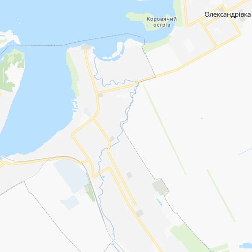
Roadmap (route) to go from Stantsiya Horyayinove to Marhanets’ detailed above, you can also see the course layout on the map.
While doing trip Stantsiya Horyayinove - Marhanets’ by car, the calculated route ends at a distance , or more straight.
Distance and duration of the route between Stantsiya Horyayinove and Marhanets’
Calculation of distance and route from Marhanets’ to Stantsiya Horyayinove :
97.4114.0 km2h48mn
Continue 0h0mn 41 mTurn left 0h1mn 218 mTurn right onto проспект Сергія Нігояна 0h0mn 83 mTurn sharp left onto проспект Сергія Нігояна 0h1mn 598 mKeep left onto проспект Сергія Нігояна 0h1mn 1.4 kmKeep right onto Робоча вулиця 0h0mn 268 mTurn left onto вулиця Володимира Антоновича 0h1mn 955 mTurn right onto бульвар Батальйону «Дніпро» 0h0mn 281 mTurn sharp left onto Ульянівська вулиця 0h0mn 22 mKeep right onto Ульянівська вулиця 0h0mn 353 mTurn right onto проспект Олександра Поля 0h3mn 2.6 kmTurn left onto вулиця Гавриленка 0h1mn 366 mTurn right onto проспект Богдана Хмельницького 0h1mn 469 mKeep left 0h0mn 36 mTurn slight right onto Запорізьке шосе 0h1mn 1.1 kmAt roundabout, take exit 1 onto Запорізьке шосе 0h5mn 3.5 kmAt roundabout, take exit 1 onto Запорізьке шосе 0h26mn 40.8 kmKeep right and take Р-73 toward Нікополь 0h0mn 409 mContinue onto Р-73 0h15mn 16.2 kmTurn left onto С041911 0h6mn 4.7 kmTurn sharp right onto О041906 0h12mn 9.6 kmTurn left onto Чарівна вулиця 0h4mn 3.6 kmTurn slight left onto Мостова вулиця 0h2mn 2.4 kmTurn left onto вулиця Шевченка 0h1mn 1.3 kmTurn right onto вулиця Шевченка 0h1mn 1.0 kmContinue onto Міжколгоспбудівська вулиця 0h17mn 18.2 kmTurn left onto вулиця Лермонтова 0h0mn 379 mTurn right onto Прохолодна вулиця 0h1mn 556 mTurn left onto Кленова вулиця 0h0mn 76 mTurn right onto вулиця Радіщева 0h1mn 319 mKeep left onto вулиця Радіщева 0h1mn 288 mContinue onto вулиця Радіщева 0h0mn 94 mContinue onto вулиця Радіщева 0h1mn 366 mTurn left onto вулиця Гірників 0h0mn 91 mTurn right onto провулок Гірників 0h0mn 159 mTurn left onto вулиця Єдності 0h2mn 1.0 kmTurn left onto площа Гірницької Слави 0h0mn 160 mArrive at destination 0h0mn 0 m
Travel from Stantsiya Horyayinove (Dnipropetrovsk) to a selection of major cities.
Distances from Stantsiya Horyayinove to biggest cities in Dnipropetrovsk
Other major cities in country :
- Horlivka [05], 278,550 inhabitants. 227 km
- Rivne [19], 255,106 inhabitants. 676 km
- Kropyvnytskyi [10], 249,454 inhabitants. 201 km
- Chernivtsi [03], 236,250 inhabitants. 669 km
- Ternopil [22], 235,676 inhabitants. 696 km
- Kremenchuk [18], 227,494 inhabitants. 132 km
- Lutsk [24], 213,661 inhabitants. 740 km
- Ivano-Frankivsk [06], 204,200 inhabitants. 756 km
- Bila Tserkva [13], 199,163 inhabitants. 385 km
- Kramators'k [05], 173,700 inhabitants. 191 km
- Melitopol [26], 158,000 inhabitants. 184 km
- Kerch [11], 148,932 inhabitants. 366 km
- Syevyerodonets'k [14], 130,000 inhabitants. 263 km
- Sloviansk [05], 124,800 inhabitants. 198 km
- Berdyansk [26], 118,284 inhabitants. 234 km
- Uzhgorod [25], 117,878 inhabitants. 934 km
- Alchevs'k [14], 116,000 inhabitants. 283 km
- Lysychans'k [14], 111,600 inhabitants. 258 km
- Yevpatoriya [11], 106,202 inhabitants. 385 km
- Yenakiyeve [05], 104,101 inhabitants. 240 km
Route from Marhanets’ to major cities (Ukraine).
- Distance Marhanets’ Kyiv434 km
- Distance Marhanets’ Kharkiv287 km
- Distance Marhanets’ Donetsk241 km
- Distance Marhanets’ Odessa322 km
- Distance Marhanets’ Zaporizhia47 km
- Distance Marhanets’ Lviv815 km
- Distance Marhanets’ Mykolayiv212 km
- Distance Marhanets’ Mariupol228 km
- Distance Marhanets’ Luhansk364 km
- Distance Marhanets’ Sevastopol350 km
- Distance Marhanets’ Khmelnytskyi596 km
- Distance Marhanets’ Makiyivka251 km
- Distance Marhanets’ Vinnytsia487 km
- Distance Marhanets’ Simferopol301 km
- Distance Marhanets’ Kherson187 km
- Distance Marhanets’ Poltava218 km
- Distance Marhanets’ Chernihiv494 km
- Distance Marhanets’ Cherkasy275 km
- Distance Marhanets’ Sumy366 km
- Distance Marhanets’ Zhytomyr524 km
Nearest cities to Stantsiya Horyayinove :
- Kharkiv, 1,430,885 inhabitants. 191 km
- Dnipro, 1,032,822 inhabitants. 4 km
- Donetsk, 1,024,700 inhabitants. 215 km
- Zaporizhia, 796,217 inhabitants. 75 km
- Kryvyi Rih, 652,380 inhabitants. 135 km
- Mykolayiv, 510,840 inhabitants. 280 km
- Mariupol, 481,626 inhabitants. 245 km
- Makiyivka, 376,610 inhabitants. 223 km
- Kherson, 320,477 inhabitants. 270 km
- Poltava, 317,847 inhabitants. 128 km
- Cherkasy, 297,568 inhabitants. 238 km
- Sumy, 294,456 inhabitants. 272 km
- Kropyvnytskyi, 249,454 inhabitants. 201 km
- Kamianske, 248,575 inhabitants. 29 km
- Kremenchuk, 227,494 inhabitants. 132 km
- Kramators'k, 173,700 inhabitants. 191 km
- Melitopol, 158,000 inhabitants. 184 km
- Nikopol, 130,500 inhabitants. 110 km
- Sloviansk, 124,800 inhabitants. 198 km
- Berdyansk, 118,284 inhabitants. 234 km
- Pavlohrad, 115,932 inhabitants. 66 km
- Oleksandriya, 103,000 inhabitants. 139 km
- Konotop, 91,798 inhabitants. 333 km
- Kostyantynivka, 91,259 inhabitants. 201 km
- Novomoskovs'k, 73,100 inhabitants. 26 km
- Pokrovsk, 68,263 inhabitants. 163 km
- Pryluky, 62,823 inhabitants. 301 km
- Druzhkivka, 62,315 inhabitants. 190 km
- Lozova, 62,311 inhabitants. 108 km
- Energodar, 55,800 inhabitants. 112 km
- Izyum, 53,778 inhabitants. 185 km
- Lubny, 52,600 inhabitants. 224 km
- Horishni Plavni, 51,740 inhabitants. 115 km
- Zhovti Vody, 51,559 inhabitants. 111 km
- Nova Kakhovka, 50,672 inhabitants. 228 km
- Marhanets', 50,443 inhabitants. 98 km
- Okhtyrka, 49,818 inhabitants. 204 km
- Myrnohrad, 49,646 inhabitants. 169 km
- Romny, 48,570 inhabitants. 275 km
- Svitlovods'k, 47,946 inhabitants. 143 km
- Toretsk, 41,758 inhabitants. 211 km
- Dzhankoy, 41,731 inhabitants. 311 km
- Myrhorod, 41,377 inhabitants. 194 km
- Yasynuvata, 37,600 inhabitants. 216 km
- Kakhovka, 36,816 inhabitants. 217 km
- Chuhuyiv, 36,519 inhabitants. 195 km
- Dobropillya, 35,977 inhabitants. 155 km
- Avdiyivka, 35,826 inhabitants. 207 km
- Tokmak, 34,926 inhabitants. 147 km
- Dolyns'ka, 34,267 inhabitants. 170 km
Location Stantsiya Horyayinove (Dnipropetrovsk) :
| Country flag |  |
| Location | Stantsiya Horyayinove |
| State | Dnipropetrovsk |
| County | |
| Country | Ukraine |
| Country code / ISO 2 | UA |
| Latitude | 48.4786400 |
| Longitude | 34.9868300 |
| Altitude | 0 meters |
| Time zone | Europe/Kiev |
Location Marhanets’ (Dnipropetrovsk) :
| Country flag | |
| Location | Marhanets’ |
| State | Dnipropetrovsk |
| County | |
| Country | Ukraine |
| Country code / ISO 2 | UA |
| Latitude | 47.6354300 |
| Longitude | 34.6276900 |
| Altitude | 0 meters |
| Time zone | Europe/Kiev |