
How to get from Teakworth (Mpumalanga) to Mpumalanga (KwaZulu-Natal)
Calculate route from Teakworth (Mpumalanga, South Africa) to Mpumalanga (KwaZulu-Natal, South Africa).
The flight distance (as the crow flies) between Teakworth and Mpumalanga is 381.9 km.
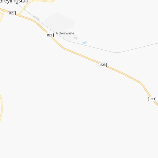
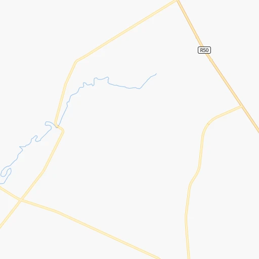
Roadmap (route) to go from Teakworth to Mpumalanga detailed above, you can also see the course layout on the map.
While doing trip Teakworth - Mpumalanga by car, the calculated route ends at a distance , or more straight.
Distance and duration of the route between Teakworth and Mpumalanga
Calculation of distance and route from Mpumalanga to Teakworth :
381.9460.7 km6h11mn
Continue 0h7mn 3.3 kmTurn right onto R23 0h4mn 7.0 kmKeep left 0h0mn 68 mTurn slight left 1h45mn 22.3 kmTurn right 0h23mn 11.5 kmContinue onto R51 0h1mn 578 mTurn left and take N3 toward Harrismith 3h43mn 212.9 kmKeep right onto N3 and take N3 toward Durban 2h33mn 159.6 kmKeep left 0h1mn 695 mTurn right onto Peter Brown Drive 0h0mn 371 mAt roundabout, take exit 2 onto Howick Road 0h20mn 29.9 kmKeep left and take R103 toward Cato Ridge, Mpumalanga, Inchanga 0h1mn 875 mKeep right and take R103 toward Mpumalanga 0h0mn 81 mTurn right onto Uitkomst Street 0h8mn 6.8 kmTurn right onto P430, MR430 0h0mn 49 mTurn left onto MR431 0h3mn 2.7 kmTurn left onto Shezi Main Road 0h1mn 970 mAt roundabout, take exit 2 onto Shezi Main Road 0h1mn 824 mTurn sharp right onto 400405 Street 0h0mn 164 mArrive at destination 0h0mn 0 m
Travel from Teakworth (KwaZulu-Natal) to a selection of major cities.
Distances from Teakworth to biggest cities in Mpumalanga
Other major cities in country :
- Richards Bay [02], 252,968 inhabitants. 388 km
- Vanderbijlpark [06], 246,754 inhabitants. 99 km
- Centurion [06], 233,386 inhabitants. 120 km
- Uitenhage [05], 228,912 inhabitants. 845 km
- Roodepoort [06], 225,000 inhabitants. 117 km
- Paarl [11], 190,000 inhabitants. 1,223 km
- Springs [06], 186,394 inhabitants. 72 km
- Carletonville [06], 182,304 inhabitants. 149 km
- Klerksdorp [10], 178,921 inhabitants. 215 km
- Midrand [06], 173,009 inhabitants. 111 km
- Westonaria [06], 156,831 inhabitants. 128 km
- Vryheid [02], 150,012 inhabitants. 224 km
- Orkney [10], 145,801 inhabitants. 215 km
- Kimberley [08], 142,089 inhabitants. 456 km
- Nigel [06], 140,644 inhabitants. 51 km
- Mpumalanga [02], 140,121 inhabitants. 383 km
- Bhisho [05], 137,287 inhabitants. 690 km
- Randfontein [06], 133,654 inhabitants. 130 km
- Worcester [11], 127,597 inhabitants. 1,182 km
- Rustenburg [10], 124,064 inhabitants. 200 km
Route from Mpumalanga to major cities (South Africa).
- Distance Mpumalanga Cape Town1,241 km
- Distance Mpumalanga Johannesburg476 km
- Distance Mpumalanga Soweto480 km
- Distance Mpumalanga Pretoria513 km
- Distance Mpumalanga Port Elizabeth662 km
- Distance Mpumalanga Benoni463 km
- Distance Mpumalanga Tembisa486 km
- Distance Mpumalanga East London441 km
- Distance Mpumalanga Vereeniging439 km
- Distance Mpumalanga Bloemfontein435 km
- Distance Mpumalanga Boksburg464 km
- Distance Mpumalanga Welkom432 km
- Distance Mpumalanga Krugersdorp501 km
- Distance Mpumalanga Diepsloot503 km
- Distance Mpumalanga Randburg488 km
- Distance Mpumalanga Botshabelo384 km
- Distance Mpumalanga Brakpan456 km
- Distance Mpumalanga Witbank460 km
- Distance Mpumalanga Vanderbijlpark441 km
- Distance Mpumalanga Centurion502 km
Nearest cities to Teakworth :
- Johannesburg, 2,026,469 inhabitants. 100 km
- Soweto, 1,695,047 inhabitants. 111 km
- Pretoria, 1,619,438 inhabitants. 130 km
- Pietermaritzburg, 750,845 inhabitants. 352 km
- Benoni, 605,344 inhabitants. 82 km
- Tembisa, 511,655 inhabitants. 105 km
- Vereeniging, 474,681 inhabitants. 90 km
- Bloemfontein, 463,064 inhabitants. 367 km
- Boksburg, 445,168 inhabitants. 84 km
- Welkom, 431,944 inhabitants. 247 km
- Newcastle, 404,838 inhabitants. 155 km
- Krugersdorp, 378,821 inhabitants. 129 km
- Diepsloot, 350,000 inhabitants. 123 km
- Randburg, 337,053 inhabitants. 111 km
- Botshabelo, 309,714 inhabitants. 346 km
- Brakpan, 305,692 inhabitants. 75 km
- Witbank, 262,491 inhabitants. 108 km
- Vanderbijlpark, 246,754 inhabitants. 99 km
- Centurion, 233,386 inhabitants. 120 km
- Roodepoort, 225,000 inhabitants. 117 km
- Springs, 186,394 inhabitants. 72 km
- Carletonville, 182,304 inhabitants. 149 km
- Klerksdorp, 178,921 inhabitants. 215 km
- Midrand, 173,009 inhabitants. 111 km
- Westonaria, 156,831 inhabitants. 128 km
- Middelburg, 154,706 inhabitants. 128 km
- Vryheid, 150,012 inhabitants. 224 km
- Orkney, 145,801 inhabitants. 215 km
- eMbalenhle, 141,741 inhabitants. 35 km
- Nigel, 140,644 inhabitants. 51 km
- Randfontein, 133,654 inhabitants. 130 km
- Rustenburg, 124,064 inhabitants. 200 km
- Polokwane, 123,749 inhabitants. 325 km
- Potchefstroom, 123,669 inhabitants. 172 km
- Virginia, 122,502 inhabitants. 244 km
- Brits, 122,497 inhabitants. 164 km
- Alberton, 121,536 inhabitants. 90 km
- Nelspruit, 110,159 inhabitants. 258 km
- Phalaborwa, 109,468 inhabitants. 391 km
- Kroonstad, 103,992 inhabitants. 186 km
- Bethal, 101,919 inhabitants. 72 km
- Mokopane, 101,090 inhabitants. 287 km
- Mabopane, 97,417 inhabitants. 159 km
- Kutloanong, 95,008 inhabitants. 237 km
- Stilfontein, 93,110 inhabitants. 205 km
- Delmas, 92,046 inhabitants. 71 km
- Warmbaths, 90,210 inhabitants. 217 km
- Dundee, 84,413 inhabitants. 209 km
- Piet Retief, 84,349 inhabitants. 199 km
- Phuthaditjhaba, 84,258 inhabitants. 196 km
Location Teakworth (Mpumalanga) :
| Country flag |  |
| Location | Teakworth |
| State | Mpumalanga |
| County | Gert Sibande District Municipality |
| Country | South Africa |
| Country code / ISO 2 | ZA |
| Latitude | -26.7673900 |
| Longitude | 28.8268000 |
| Altitude | 0 meters |
| Time zone | Africa/Johannesburg |
Location Mpumalanga (KwaZulu-Natal) :
| Country flag | |
| Location | Mpumalanga |
| State | KwaZulu-Natal |
| County | eThekwini Metropolitan Municipality |
| Country | South Africa |
| Country code / ISO 2 | ZA |
| Latitude | -29.8129200 |
| Longitude | 30.6364600 |
| Altitude | 0 meters |
| Time zone | Africa/Johannesburg |
