


How to get from Ulundi (KwaZulu-Natal) to Delmas (Mpumalanga)
Calculate route from Ulundi (KwaZulu-Natal, South Africa) to Delmas (Mpumalanga, South Africa).
The flight distance (as the crow flies) between Ulundi and Delmas is 363.6 km.
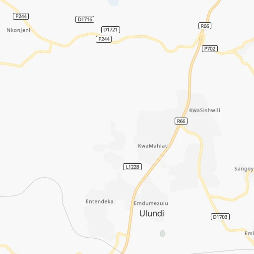
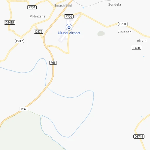
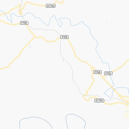
Roadmap (route) to go from Ulundi to Delmas detailed above, you can also see the course layout on the map.
While doing trip Ulundi - Delmas by car, the calculated route ends at a distance , or more straight.
Distance and duration of the route between Ulundi and Delmas
Calculation of distance and route from Delmas to Ulundi :
363.6463.8 km6h6mn
Continue 0h3mn 528 mContinue 0h0mn 29 mKeep left 0h0mn 27 mTurn slight left 0h0mn 92 mKeep right 0h0mn 115 mKeep right 0h2mn 1.0 kmTurn right onto King Mpande Street 0h3mn 1.3 kmTurn sharp left 0h1mn 325 mTurn right 0h1mn 546 mAt roundabout, take exit 2 onto Princess Magogo Street 0h0mn 59 mKeep left 0h0mn 42 mTurn slight left onto R66 0h17mn 18.2 kmTurn right onto R34 1h4mn 96.7 kmKeep left toward R34 0h7mn 6.1 kmTurn left onto R33 0h21mn 23.1 kmTurn sharp right onto R34 1h50mn 75.6 kmTurn right onto N11 1h33mn 38.6 kmTurn left onto Adelaide Thambo Street 0h1mn 1.1 kmTurn right onto Govan Mbeki Drive 1h54mn 80.5 kmContinue onto Handel Street 0h0mn 417 mTurn right onto Walter Sisulu Drive 0h2mn 2.8 kmTurn left onto R50, R546 2h45mn 115.5 kmTurn left onto Sarel Cilliers Street 0h0mn 506 mTurn right onto 5th Avenue 0h0mn 349 mTurn left onto 6th Street 0h0mn 204 mTurn right onto 6th Street 0h0mn 128 mTurn left onto 7th Street 0h0mn 24 mArrive at destination 0h0mn 0 m
Travel from Ulundi (Mpumalanga) to a selection of major cities.
Distances from Ulundi to biggest cities in KwaZulu-Natal
Other major cities in country :
- Uitenhage [05], 228,912 inhabitants. 838 km
- Roodepoort [06], 225,000 inhabitants. 427 km
- Paarl [11], 190,000 inhabitants. 1,333 km
- Springs [06], 186,394 inhabitants. 379 km
- Carletonville [06], 182,304 inhabitants. 455 km
- Klerksdorp [10], 178,921 inhabitants. 499 km
- Midrand [06], 173,009 inhabitants. 418 km
- Westonaria [06], 156,831 inhabitants. 436 km
- Middelburg [07], 154,706 inhabitants. 344 km
- Orkney [10], 145,801 inhabitants. 494 km
- Kimberley [08], 142,089 inhabitants. 656 km
- eMbalenhle [07], 141,741 inhabitants. 307 km
- Nigel [06], 140,644 inhabitants. 360 km
- Bhisho [05], 137,287 inhabitants. 635 km
- Randfontein [06], 133,654 inhabitants. 440 km
- Worcester [11], 127,597 inhabitants. 1,289 km
- Rustenburg [10], 124,064 inhabitants. 510 km
- Polokwane [09], 123,749 inhabitants. 528 km
- Potchefstroom [10], 123,669 inhabitants. 464 km
- Virginia [03], 122,502 inhabitants. 450 km
Route from Delmas to major cities (South Africa).
- Distance Delmas Cape Town1,313 km
- Distance Delmas Durban473 km
- Distance Delmas Johannesburg64 km
- Distance Delmas Soweto83 km
- Distance Delmas Pretoria67 km
- Distance Delmas Port Elizabeth919 km
- Distance Delmas Pietermaritzburg421 km
- Distance Delmas Benoni37 km
- Distance Delmas Tembisa49 km
- Distance Delmas East London768 km
- Distance Delmas Vereeniging96 km
- Distance Delmas Bloemfontein411 km
- Distance Delmas Boksburg43 km
- Distance Delmas Welkom281 km
- Distance Delmas Newcastle218 km
- Distance Delmas Krugersdorp91 km
- Distance Delmas Diepsloot71 km
- Distance Delmas Randburg68 km
- Distance Delmas Botshabelo397 km
- Distance Delmas Brakpan33 km
Nearest cities to Ulundi :
- Durban, 3,120,282 inhabitants. 178 km
- Pietermaritzburg, 750,845 inhabitants. 179 km
- Newcastle, 404,838 inhabitants. 161 km
- Witbank, 262,491 inhabitants. 349 km
- Richards Bay, 252,968 inhabitants. 78 km
- Middelburg, 154,706 inhabitants. 344 km
- Vryheid, 150,012 inhabitants. 88 km
- eMbalenhle, 141,741 inhabitants. 307 km
- Nigel, 140,644 inhabitants. 360 km
- Mpumalanga, 140,121 inhabitants. 186 km
- Nelspruit, 110,159 inhabitants. 319 km
- Bethal, 101,919 inhabitants. 284 km
- Delmas, 92,046 inhabitants. 364 km
- Dundee, 84,413 inhabitants. 120 km
- Piet Retief, 84,349 inhabitants. 157 km
- Phuthaditjhaba, 84,258 inhabitants. 259 km
- Standerton, 74,021 inhabitants. 266 km
- Barberton, 67,927 inhabitants. 283 km
- KwaDukuza, 59,899 inhabitants. 115 km
- Port Shepstone, 52,793 inhabitants. 288 km
- eSikhaleni, 49,265 inhabitants. 77 km
- Balfour, 46,008 inhabitants. 336 km
- Mondlo, 44,922 inhabitants. 80 km
- Volksrust, 43,378 inhabitants. 186 km
- Ermelo, 41,124 inhabitants. 245 km
- Ekangala, 37,650 inhabitants. 395 km
- Harrismith, 35,108 inhabitants. 228 km
- Margate, 34,407 inhabitants. 304 km
- Richmond, 32,445 inhabitants. 209 km
- Howick, 28,725 inhabitants. 177 km
- Driefontein, 28,127 inhabitants. 174 km
- Empangeni, 28,093 inhabitants. 67 km
- Bronkhorstspruit, 27,343 inhabitants. 386 km
- Mpophomeni, 26,229 inhabitants. 187 km
- Cullinan, 25,490 inhabitants. 413 km
- Kokstad, 25,373 inhabitants. 318 km
- Scottburgh, 23,949 inhabitants. 231 km
- Ulundi, 20,753 inhabitants. 5 km
- Komatipoort, 20,508 inhabitants. 323 km
- Secunda, 20,418 inhabitants. 298 km
- eMkhomazi, 20,410 inhabitants. 221 km
- Ballito, 17,218 inhabitants. 139 km
- White River, 15,954 inhabitants. 334 km
- Hendrina, 15,871 inhabitants. 294 km
- Kriel, 15,055 inhabitants. 315 km
- Berea, 15,000 inhabitants. 178 km
- Eshowe, 14,786 inhabitants. 65 km
- Vrede, 14,622 inhabitants. 245 km
- Ekuvukeni, 14,331 inhabitants. 128 km
- Greytown, 13,912 inhabitants. 119 km
Location Ulundi (KwaZulu-Natal) :
| Country flag |  |
| Location | Ulundi |
| State | KwaZulu-Natal |
| County | Zululand District Municipality |
| Country | South Africa |
| Country code / ISO 2 | ZA |
| Latitude | -28.3038700 |
| Longitude | 31.4507800 |
| Altitude | 0 meters |
| Time zone | Africa/Johannesburg |
Location Delmas (Mpumalanga) :
| Country flag | |
| Location | Delmas |
| State | Mpumalanga |
| County | Nkangala District Municipality |
| Country | South Africa |
| Country code / ISO 2 | ZA |
| Latitude | -26.1466000 |
| Longitude | 28.6832200 |
| Altitude | 0 meters |
| Time zone | Africa/Johannesburg |