

How to get from Willowmore North (Eastern Cape) to Fraserburg (Northern Cape)
Calculate route from Willowmore North (Eastern Cape, South Africa) to Fraserburg (Northern Cape, South Africa).
The flight distance (as the crow flies) between Willowmore North and Fraserburg is 218.4 km.
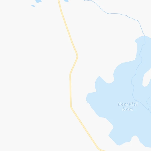
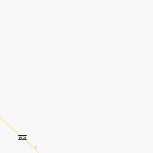
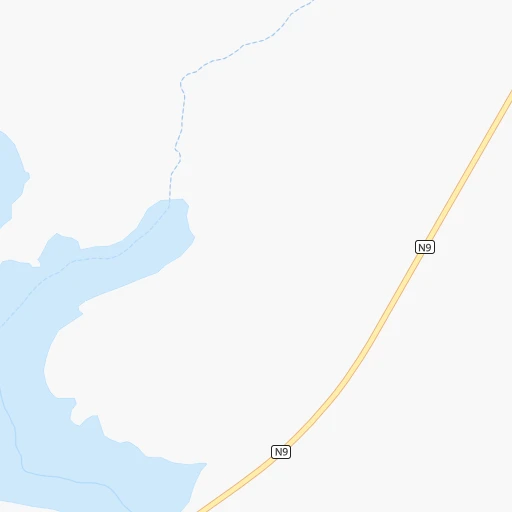
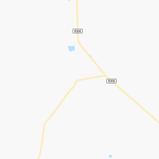
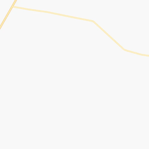
Roadmap (route) to go from Willowmore North to Fraserburg detailed above, you can also see the course layout on the map.
While doing trip Willowmore North - Fraserburg by car, the calculated route ends at a distance , or more straight.
Distance and duration of the route between Willowmore North and Fraserburg
Calculation of distance and route from Fraserburg to Willowmore North :
218.4307.6 km6h17mn
Continue 1h12mn 36.2 kmTurn right onto R306 2h12mn 66.2 kmTurn left onto R61 0h17mn 17.6 kmKeep left 0h0mn 39 mTurn slight left onto Donkin Street 1h44mn 75.2 kmTurn right onto R353 2h52mn 112.3 kmTurn right onto Schalkwyk Street 0h0mn 109 mArrive at destination 0h0mn 0 m
Travel from Willowmore North (Northern Cape) to a selection of major cities.
Distances from Willowmore North to biggest cities in Eastern Cape
Other major cities in country :
- Vanderbijlpark [06], 246,754 inhabitants. 824 km
- Centurion [06], 233,386 inhabitants. 924 km
- Roodepoort [06], 225,000 inhabitants. 879 km
- Paarl [11], 190,000 inhabitants. 420 km
- Springs [06], 186,394 inhabitants. 897 km
- Carletonville [06], 182,304 inhabitants. 838 km
- Klerksdorp [10], 178,921 inhabitants. 758 km
- Midrand [06], 173,009 inhabitants. 909 km
- Westonaria [06], 156,831 inhabitants. 854 km
- Middelburg [07], 154,706 inhabitants. 999 km
- Vryheid [02], 150,012 inhabitants. 920 km
- Orkney [10], 145,801 inhabitants. 745 km
- Kimberley [08], 142,089 inhabitants. 498 km
- eMbalenhle [07], 141,741 inhabitants. 907 km
- Nigel [06], 140,644 inhabitants. 884 km
- Mpumalanga [02], 140,121 inhabitants. 774 km
- Randfontein [06], 133,654 inhabitants. 869 km
- Worcester [11], 127,597 inhabitants. 375 km
- Rustenburg [10], 124,064 inhabitants. 902 km
- Polokwane [09], 123,749 inhabitants. 1,177 km
Route from Fraserburg to major cities (South Africa).
- Distance Fraserburg Cape Town365 km
- Distance Fraserburg Durban937 km
- Distance Fraserburg Johannesburg899 km
- Distance Fraserburg Soweto881 km
- Distance Fraserburg Pretoria946 km
- Distance Fraserburg Port Elizabeth446 km
- Distance Fraserburg Pietermaritzburg887 km
- Distance Fraserburg Benoni919 km
- Distance Fraserburg Tembisa928 km
- Distance Fraserburg East London613 km
- Distance Fraserburg Vereeniging853 km
- Distance Fraserburg Bloemfontein548 km
- Distance Fraserburg Boksburg913 km
- Distance Fraserburg Welkom668 km
- Distance Fraserburg Newcastle935 km
- Distance Fraserburg Krugersdorp890 km
- Distance Fraserburg Diepsloot919 km
- Distance Fraserburg Randburg905 km
- Distance Fraserburg Botshabelo580 km
- Distance Fraserburg Brakpan919 km
Nearest cities to Willowmore North :
- Port Elizabeth, 967,677 inhabitants. 228 km
- Uitenhage, 228,912 inhabitants. 200 km
- Knysna, 68,659 inhabitants. 115 km
- Graaff-Reinet, 62,896 inhabitants. 137 km
- Oudtshoorn, 61,507 inhabitants. 129 km
- Mossel Bay, 59,031 inhabitants. 173 km
- Beaufort West, 44,737 inhabitants. 110 km
- Cradock, 32,898 inhabitants. 229 km
- De Aar, 32,318 inhabitants. 273 km
- Plettenberg Bay, 19,445 inhabitants. 112 km
- Kruisfontein, 18,991 inhabitants. 162 km
- Middelburg, 18,164 inhabitants. 229 km
- Riversdale, 16,176 inhabitants. 232 km
- Somerset East, 16,155 inhabitants. 206 km
- Swellendam, 13,674 inhabitants. 297 km
- Prince Albert, 13,136 inhabitants. 131 km
- Burgersdorp, 12,548 inhabitants. 357 km
- Colesberg, 12,423 inhabitants. 304 km
- George, 12,345 inhabitants. 135 km
- Adelaide, 12,212 inhabitants. 272 km
- Jeffrey's Bay, 11,698 inhabitants. 178 km
- Kirkwood, 10,148 inhabitants. 193 km
- Molteno, 10,078 inhabitants. 333 km
- Hardys Memories of Africa, 7,500 inhabitants. 268 km
- Ladismith, 7,127 inhabitants. 206 km
- Willowmore, 7,100 inhabitants. 28 km
- Albertina, 6,372 inhabitants. 213 km
- Carnarvon, 5,785 inhabitants. 261 km
- Zoar, 4,659 inhabitants. 190 km
- Calitzdorp, 4,284 inhabitants. 170 km
- Noupoort, 3,924 inhabitants. 253 km
- De Rust, 3,566 inhabitants. 96 km
- Fraserburg, 3,029 inhabitants. 219 km
Location Willowmore North (Eastern Cape) :
| Country flag |  |
| Location | Willowmore North |
| State | Eastern Cape |
| County | Cacadu District Municipality |
| Country | South Africa |
| Country code / ISO 2 | ZA |
| Latitude | -33.0500000 |
| Longitude | 23.4166700 |
| Altitude | 0 meters |
| Time zone | Africa/Johannesburg |
Location Fraserburg (Northern Cape) :
| Country flag | |
| Location | Fraserburg |
| State | Northern Cape |
| County | Namakwa District Municipality |
| Country | South Africa |
| Country code / ISO 2 | ZA |
| Latitude | -31.9156600 |
| Longitude | 21.5133500 |
| Altitude | 0 meters |
| Time zone | Africa/Johannesburg |