
How to get from Thamaga (Kweneng) to Bokaa (Kgatleng)
Calculate route from Thamaga (Kweneng, Botswana) to Bokaa (Kgatleng, Botswana).
The flight distance (as the crow flies) between Thamaga and Bokaa is 54.1 km.
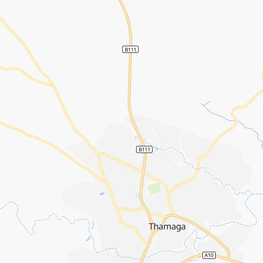
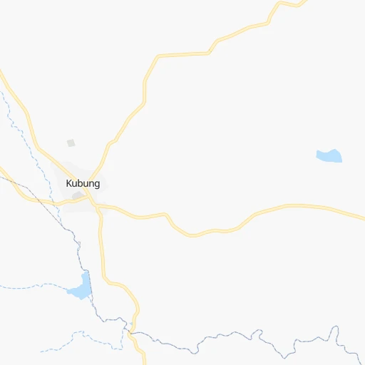
Roadmap (route) to go from Thamaga to Bokaa detailed above, you can also see the course layout on the map.
While doing trip Thamaga - Bokaa by car, the calculated route ends at a distance , or more straight.
Distance and duration of the route between Thamaga and Bokaa
Calculation of distance and route from Bokaa to Thamaga :
54.169.1 km1h7mn
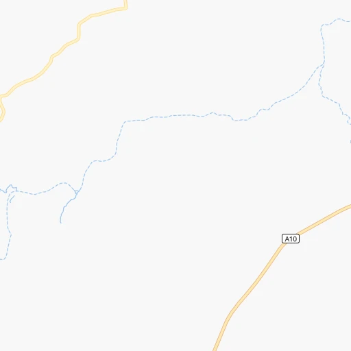
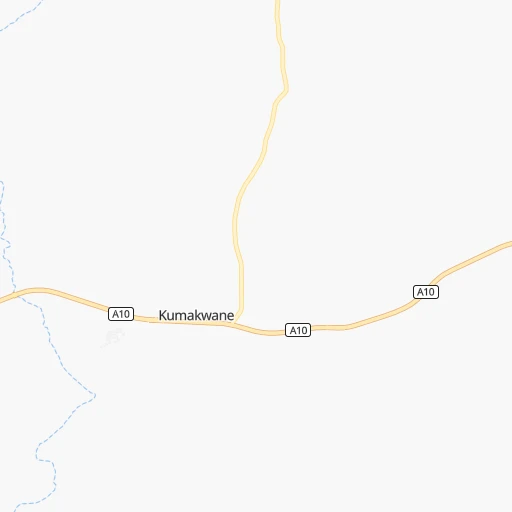
Continue 0h0mn 26 mTurn right 0h0mn 70 mTurn sharp left 0h0mn 95 mKeep right 0h0mn 117 mTurn left 0h1mn 424 mTurn left onto Loop Road 0h3mn 2.8 kmTurn left onto A10 0h30mn 32.5 kmKeep left 0h7mn 6.5 kmAt roundabout, take exit 1 onto Motsete Highway 0h2mn 1.8 kmAt roundabout, take exit 2 onto A1 0h18mn 21.6 kmTurn left 0h2mn 788 mKeep right 0h3mn 1.7 kmKeep left 0h0mn 136 mKeep left 0h0mn 179 mTurn left 0h0mn 181 mKeep right 0h0mn 235 mArrive at destination 0h0mn 0 m
Travel from Thamaga (Kgatleng) to a selection of major cities.
Distances from Thamaga to biggest cities in Kweneng
Other major cities in country :
Route from Bokaa to major cities (Botswana).
Nearest cities to Thamaga :
- Gaborone, 208,411 inhabitants. 37 km
- Molepolole, 63,248 inhabitants. 30 km
- Selebi-Phikwe, 53,727 inhabitants. 381 km
- Serowe, 47,419 inhabitants. 281 km
- Kanye, 44,716 inhabitants. 39 km
- Mahalapye, 44,471 inhabitants. 217 km
- Mogoditshane, 43,394 inhabitants. 33 km
- Mochudi, 36,962 inhabitants. 68 km
- Lobatse, 30,883 inhabitants. 63 km
- Palapye, 30,650 inhabitants. 286 km
- Ramotswa, 21,450 inhabitants. 40 km
- Thamaga, 20,756 inhabitants. 0 km
- Mosopa, 19,561 inhabitants. 16 km
- Janeng, 16,853 inhabitants. 83 km
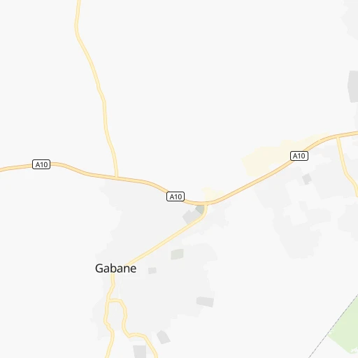
- Gabane, 12,884 inhabitants. 25 km
- Kopong, 6,895 inhabitants. 41 km
- Letlhakeng, 6,781 inhabitants. 82 km
- Otse, 6,275 inhabitants. 43 km
- Metsemotlhaba, 5,544 inhabitants. 30 km
- Lenchwe Le Tau, 4,992 inhabitants. 45 km
- Mmopone, 4,927 inhabitants. 36 km
- Kang, 4,229 inhabitants. 301 km
- Bokaa, 4,131 inhabitants. 54 km
- Sefophe, 4,114 inhabitants. 372 km
- Ramokgonami, 3,681 inhabitants. 278 km
- Maunatlala, 3,361 inhabitants. 314 km
Location Thamaga (Kweneng) :
| Country flag |  |
| Location | Thamaga |
| State | Kweneng |
| County | |
| Country | Botswana |
| Country code / ISO 2 | BW |
| Latitude | -24.6701400 |
| Longitude | 25.5397500 |
| Altitude | 0 meters |
| Time zone | Africa/Gaborone |
Location Bokaa (Kgatleng) :
| Country flag | |
| Location | Bokaa |
| State | Kgatleng |
| County | |
| Country | Botswana |
| Country code / ISO 2 | BW |
| Latitude | -24.4500000 |
| Longitude | 26.0166700 |
| Altitude | 0 meters |
| Time zone | Africa/Gaborone |