
How to get from Maḩaţţat Mukayshīfah (Salah ad Din) to Mandalī (Diyālá)
Calculate route from Maḩaţţat Mukayshīfah (Salah ad Din, Iraq) to Mandalī (Diyālá, Iraq).
The flight distance (as the crow flies) between Maḩaţţat Mukayshīfah and Mandalī is 180.6 km.
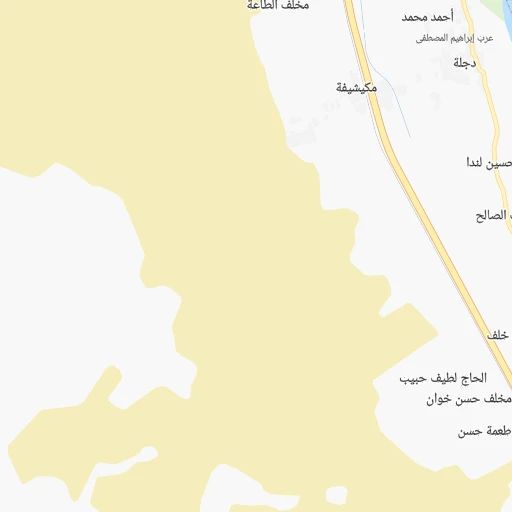
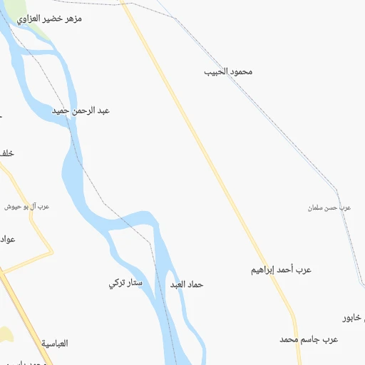
Roadmap (route) to go from Maḩaţţat Mukayshīfah to Mandalī detailed above, you can also see the course layout on the map.
While doing trip Maḩaţţat Mukayshīfah - Mandalī by car, the calculated route ends at a distance , or more straight.
Distance and duration of the route between Maḩaţţat Mukayshīfah and Mandalī
Calculation of distance and route from Mandalī to Maḩaţţat Mukayshīfah :
180.6223.7 km3h26mn
Continue 0h1mn 579 mTurn sharp right 0h0mn 11 mTurn sharp left 0h0mn 66 mTurn right 0h1mn 326 mTurn right 0h2mn 878 mTurn right onto طريق الموصل - بغداد 0h8mn 8.9 kmKeep right onto طريق بغداد 0h14mn 15.2 kmKeep right 1h30mn 35.1 kmTurn left 0h0mn 14 mTurn left onto طريق بغداد -الموصل 0h0mn 21 mKeep right 0h1mn 996 mTurn right 0h5mn 4.4 kmTurn right 0h1mn 807 mContinue 0h1mn 562 mTurn left 0h0mn 81 mTurn right 0h2mn 1.4 kmAt roundabout, take exit 2 0h1mn 671 mAt roundabout, take exit 2 0h3mn 2.9 kmKeep left 0h0mn 27 mTurn slight left 0h18mn 17.5 kmTurn right 0h0mn 34 mTurn sharp left 0h24mn 24.8 kmAt roundabout, take exit 2 onto 34 0h9mn 10.0 kmAt roundabout, take exit 2 onto طريق مدخل مدينة بعقوبة الشمالي 0h4mn 4.5 kmKeep right 0h0mn 139 mKeep left 0h7mn 7.9 kmKeep right 1h12mn 84.4 kmAt roundabout, take exit 2 onto 13 0h1mn 945 mTurn left 0h1mn 350 mTurn left 0h0mn 174 mArrive at destination 0h0mn 0 m
Travel from Maḩaţţat Mukayshīfah (Diyālá) to a selection of major cities.
Distances from Maḩaţţat Mukayshīfah to biggest cities in Salah ad Din
Other major cities in country :
- Baqubah [10], 152,550 inhabitants. 104 km
- Sinah [08], 128,776 inhabitants. 281 km
- Az Zubayr [02], 122,676 inhabitants. 577 km
- Kufa [17], 110,000 inhabitants. 264 km
- Umm Qasr [02], 107,620 inhabitants. 621 km
- Al Faw [02], 104,569 inhabitants. 661 km
- Zaxo [08], 95,052 inhabitants. 326 km
- Al Harithah [02], 92,395 inhabitants. 564 km
- Ash Shatrah [09], 82,732 inhabitants. 399 km
- Al Hayy [16], 78,272 inhabitants. 324 km
- Jamjamal [05], 75,634 inhabitants. 166 km
- Khalis [10], 70,046 inhabitants. 95 km
- Ash Shamiyah [04], 57,661 inhabitants. 278 km
- Al Hindiyah [12], 57,490 inhabitants. 206 km
- Halabjah [05], 57,333 inhabitants. 226 km
- Al Miqdadiyah [10], 50,698 inhabitants. 118 km
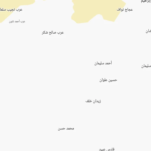
Route from Mandalī to major cities (Iraq).
- Distance Mandalī Baghdad116 km
- Distance Mandalī Basrah417 km
- Distance Mandalī Al Mawsil al Jadidah364 km
- Distance Mandalī Al Basrah al Qadimah419 km
- Distance Mandalī Mosul364 km
- Distance Mandalī Erbil305 km
- Distance Mandalī Abu Ghurayb136 km
- Distance Mandalī As Sulaymaniyah203 km
- Distance Mandalī Kirkuk219 km
- Distance Mandalī Najaf223 km
- Distance Mandalī Karbala190 km
- Distance Mandalī Nasiriyah307 km
- Distance Mandalī Al 'Amarah260 km
- Distance Mandalī Ad Diwaniyah204 km
- Distance Mandalī Al Kut140 km
- Distance Mandalī Al Hillah178 km
- Distance Mandalī Dihok418 km
- Distance Mandalī Ramadi212 km
- Distance Mandalī Al Fallujah170 km
- Distance Mandalī Samarra'162 km
Nearest cities to Maḩaţţat Mukayshīfah :
- Baghdad, 7,216,000 inhabitants. 128 km
- Al Mawsil al Jadidah, 2,065,597 inhabitants. 228 km
- Mosul, 1,739,800 inhabitants. 228 km
- Erbil, 932,800 inhabitants. 206 km
- Abu Ghurayb, 900,000 inhabitants. 124 km
- As Sulaymaniyah, 723,170 inhabitants. 206 km
- Kirkuk, 601,433 inhabitants. 138 km
- Najaf, 482,576 inhabitants. 265 km
- Karbala, 434,450 inhabitants. 195 km
- Ad Diwaniyah, 318,801 inhabitants. 285 km
- Al Kut, 315,162 inhabitants. 282 km
- Al Hillah, 289,709 inhabitants. 219 km
- Dihok, 284,000 inhabitants. 288 km
- Ramadi, 274,539 inhabitants. 111 km
- Al Fallujah, 190,159 inhabitants. 112 km
- Samarra', 158,508 inhabitants. 22 km
- Baqubah, 152,550 inhabitants. 104 km
- Sinah, 128,776 inhabitants. 281 km
- Kufa, 110,000 inhabitants. 264 km
- Zaxo, 95,052 inhabitants. 326 km
- Ash Shatrah, 82,732 inhabitants. 399 km
- Al Hayy, 78,272 inhabitants. 324 km
- Jamjamal, 75,634 inhabitants. 166 km
- Khalis, 70,046 inhabitants. 95 km
- Tozkhurmato, 59,886 inhabitants. 102 km
- Ash Shamiyah, 57,661 inhabitants. 278 km
- Al Hindiyah, 57,490 inhabitants. 206 km
- Halabjah, 57,333 inhabitants. 226 km
- Al Miqdadiyah, 50,698 inhabitants. 118 km
- Al-Hamdaniya, 50,000 inhabitants. 216 km
- Ar Rumaythah, 47,248 inhabitants. 343 km
- Koysinceq, 44,987 inhabitants. 209 km
- Al 'Aziziyah, 44,751 inhabitants. 202 km
- Al Musayyib, 42,901 inhabitants. 182 km
- Tikrit, 42,477 inhabitants. 30 km
- As Suwayrah, 42,354 inhabitants. 186 km
- Balad, 42,088 inhabitants. 53 km
- Sinjar, 38,294 inhabitants. 277 km
- Imam Qasim, 36,992 inhabitants. 245 km
- Bayji, 36,454 inhabitants. 68 km
- Hit, 31,901 inhabitants. 115 km
- Hadithah, 30,925 inhabitants. 127 km
- Nahiyat Ghammas, 30,909 inhabitants. 302 km
- Nahiyat Saddat al Hindiyah, 30,622 inhabitants. 189 km
- Kifri, 30,143 inhabitants. 119 km
- Mandali, 29,785 inhabitants. 181 km
- Baynjiwayn, 27,116 inhabitants. 247 km
- 'Anah, 27,000 inhabitants. 161 km
- Ad Dujayl, 26,362 inhabitants. 73 km
- Tallkayf, 23,524 inhabitants. 245 km
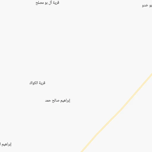
Location Maḩaţţat Mukayshīfah (Salah ad Din) :
| Country flag |  |
| Location | Maḩaţţat Mukayshīfah |
| State | Salah ad Din |
| County | Qaḑā’ Sāmarrā’ |
| Country | Iraq |
| Country code / ISO 2 | IQ |
| Latitude | 34.3500000 |
| Longitude | 43.7333300 |
| Altitude | 0 meters |
| Time zone | Asia/Baghdad |
Location Mandalī (Diyālá) :
| Country flag | |
| Location | Mandalī |
| State | Diyālá |
| County | Qada Balad Ruz |
| Country | Iraq |
| Country code / ISO 2 | IQ |
| Latitude | 33.7481000 |
| Longitude | 45.5550300 |
| Altitude | 0 meters |
| Time zone | Asia/Baghdad |