
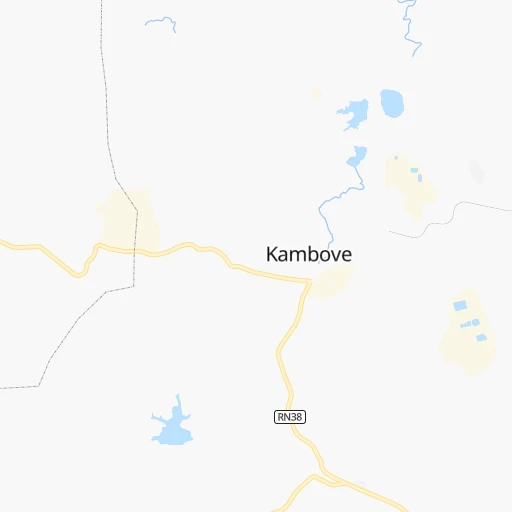
How to get from Kambove (Upper Katanga) to Mbanza-Ngungu (Bas-Congo)
Calculate route from Kambove (Upper Katanga, Democratic Republic of the Congo) to Mbanza-Ngungu (Bas-Congo, Democratic Republic of the Congo).
The flight distance (as the crow flies) between Kambove and Mbanza-Ngungu is 1,433.9 km.
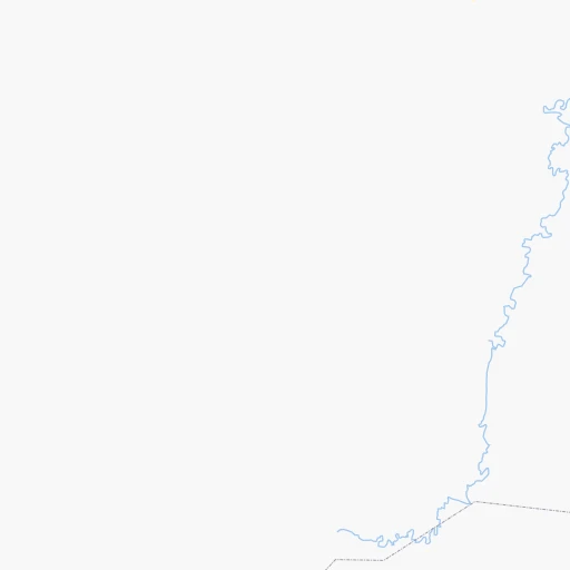
Roadmap (route) to go from Kambove to Mbanza-Ngungu detailed above, you can also see the course layout on the map.
While doing trip Kambove - Mbanza-Ngungu by car, the calculated route ends at a distance , or more straight.
Distance and duration of the route between Kambove and Mbanza-Ngungu
Calculation of distance and route from Mbanza-Ngungu to Kambove :
1,433.92,110.5 km36h48mn
Continue 0h0mn 108 mTurn left 0h0mn 69 mTurn right 0h1mn 257 mTurn right 0h0mn 30 mTurn left 0h0mn 136 mKeep right 0h0mn 115 mTurn sharp right 0h0mn 166 mKeep right 0h0mn 98 mTurn slight left 0h1mn 308 mTurn right 0h0mn 120 mTurn left 0h0mn 166 mTurn right 0h0mn 72 mTurn left 0h2mn 1.0 kmTurn slight left 0h0mn 80 mTurn right 0h2mn 1.2 kmKeep left 0h12mn 6.2 kmTurn slight right 0h4mn 1.8 kmTurn left 0h4mn 2.2 kmTurn left 0h14mn 7.0 kmTurn left onto RN1 2h39mn 133.5 kmAt roundabout, take exit 2 onto RN39 0h1mn 1.5 kmAt roundabout, take exit 2 onto RN39 0h0mn 159 mTurn right onto RN39 6h58mn 288.2 kmAt roundabout, take exit 2 onto RN39 0h0mn 313 mAt roundabout, take exit 2 onto RN39 3h34mn 139.9 kmContinue 0h12mn 13.4 kmTurn right onto EN230, EN250 0h2mn 1.7 kmAt roundabout, take exit 1 onto EN230 5h31mn 298.1 kmAt roundabout, take exit 3 0h1mn 1.1 kmTurn slight right onto EN230 0h0mn 140 mAt roundabout, take exit 2 onto EN230, EN180 0h5mn 5.2 kmTurn left 0h0mn 149 mTurn right 0h0mn 151 mTurn right 0h0mn 96 mAt roundabout, take exit 4 2h60mn 131.7 kmTurn right 0h10mn 4.9 kmTurn right onto EN230 6h37mn 384.1 kmKeep right onto EN230 0h1mn 1.1 kmContinue onto EN 230 0h20mn 25.6 kmAt roundabout, take exit 3 onto EN 230 0h6mn 4.4 kmKeep right onto EN 230 0h20mn 21.0 kmKeep right 1h42mn 55.0 kmAt roundabout, take exit 3 onto Rotunda Das Quedas 2h47mn 102.6 kmTurn sharp right onto EN140 5h28mn 359.8 kmTurn right onto EN140 1h9mn 39.0 kmTurn sharp right 0h1mn 339 mTurn left 0h0mn 147 mTurn sharp right 0h2mn 1.1 kmTurn left 0h1mn 691 mTurn right 0h4mn 1.8 kmTurn left 0h1mn 257 mContinue onto RS116 0h25mn 12.6 kmTurn left onto RS116 0h2mn 857 mTurn slight left 0h11mn 5.4 kmTurn left onto RS116 0h24mn 12.1 kmTurn left onto RS116 0h16mn 12.4 kmKeep right 0h1mn 532 mTurn right 0h13mn 6.7 kmContinue onto RS116 0h8mn 4.2 kmTurn left onto RS116 1h30mn 16.0 kmAt roundabout, take exit 2 onto Université Kongo - Accès au Rectorat 0h1mn 657 mTurn right onto Avenue Mobutu 0h0mn 485 mTurn left onto Route Nsona Nkulu 0h0mn 221 mArrive at destination 0h0mn 0 m
Travel from Kambove (Bas-Congo) to a selection of major cities.
Distances from Kambove to biggest cities in Upper Katanga
Other major cities in country :
- Isiro [16], 127,076 inhabitants. 1,523 km
- Bandundu [20], 118,211 inhabitants. 1,320 km
- Gemena [02], 117,639 inhabitants. 1,745 km
- Ilebo [18], 107,093 inhabitants. 985 km
- Bunia [17], 96,764 inhabitants. 1,442 km
- Bumba [25], 95,520 inhabitants. 1,524 km
- Mbanza-Ngungu [08], 86,356 inhabitants. 1,436 km
- Kamina [15], 73,557 inhabitants. 296 km
- Lisala [02], 70,087 inhabitants. 1,555 km
- Lodja [27], 68,244 inhabitants. 883 km
- Kabinda [04], 59,004 inhabitants. 576 km
- Kasongo [10], 55,118 inhabitants. 718 km
- Mweka [18], 50,675 inhabitants. 870 km
- Gbadolite [26], 50,493 inhabitants. 1,797 km
- Buta [13], 50,130 inhabitants. 1,535 km
Route from Mbanza-Ngungu to major cities (Democratic Republic of the Congo).
- Distance Mbanza-Ngungu Kinshasa115 km
- Distance Mbanza-Ngungu Lubumbashi1,561 km
- Distance Mbanza-Ngungu Mbuji-Mayi972 km
- Distance Mbanza-Ngungu Kisangani1,316 km
- Distance Mbanza-Ngungu Masina114 km
- Distance Mbanza-Ngungu Kananga840 km
- Distance Mbanza-Ngungu Likasi1,456 km
- Distance Mbanza-Ngungu Kolwezi1,317 km
- Distance Mbanza-Ngungu Tshikapa670 km
- Distance Mbanza-Ngungu Beni1,746 km
- Distance Mbanza-Ngungu Bukavu1,583 km
- Distance Mbanza-Ngungu Mwene-Ditu971 km
- Distance Mbanza-Ngungu Kikwit439 km
- Distance Mbanza-Ngungu Mbandaka701 km
- Distance Mbanza-Ngungu Uvira1,598 km
- Distance Mbanza-Ngungu Butembo1,713 km
- Distance Mbanza-Ngungu Gandajika1,020 km
- Distance Mbanza-Ngungu Kalemie1,590 km
- Distance Mbanza-Ngungu Goma1,646 km
- Distance Mbanza-Ngungu Kindu1,255 km
Nearest cities to Kambove :
Location Kambove (Upper Katanga) :
| Country flag |  |
| Location | Kambove |
| State | Upper Katanga |
| County | |
| Country | Democratic Republic of the Congo |
| Country code / ISO 2 | CD |
| Latitude | -10.8735200 |
| Longitude | 26.5974600 |
| Altitude | 0 meters |
| Time zone | Africa/Lubumbashi |
Location Mbanza-Ngungu (Bas-Congo) :
| Country flag |  |
| Location | Mbanza-Ngungu |
| State | Bas-Congo |
| County | |
| Country | Democratic Republic of the Congo |
| Country code / ISO 2 | CD |
| Latitude | -5.2583700 |
| Longitude | 14.8583800 |
| Altitude | 0 meters |
| Time zone | Africa/Kinshasa |