

How to get from Itaguazurenda (airport) (Santa Cruz) to Cliza (Cochabamba)
Calculate route from Itaguazurenda (airport) (Santa Cruz, Bolivia) to Cliza (Cochabamba, Bolivia).
The flight distance (as the crow flies) between Itaguazurenda (airport) and Cliza is 386.5 km.
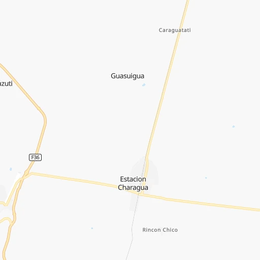
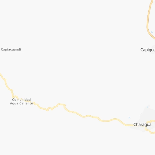
Roadmap (route) to go from Itaguazurenda Airport to Cliza detailed above, you can also see the course layout on the map.
While doing trip Itaguazurenda (airport) - Cliza by car, the calculated route ends at a distance , or more straight.
Distance and duration of the route between Itaguazurenda (airport) and Cliza
Calculation of distance and route from Cliza to Itaguazurenda (airport) :
386.5619.1 km11h7mn
Continue 0h8mn 1.3 kmTurn right onto Camino a las Colonias Menonitas 0h12mn 6.0 kmContinue onto Camino Charagua-Estacion Charagua 0h7mn 6.0 kmTurn left onto Avenida Ejercito 0h0mn 84 mTurn right onto Calle Bolivar 0h0mn 208 mTurn left onto Calle Coronel Mercado 0h0mn 256 mTurn right onto Calle Ayacucho 1h4mn 32.8 kmKeep right onto Camino RN9-Urundaiti-Charagua 0h1mn 456 mTurn right onto Camino RN9-Urundaiti-Charagua 0h7mn 3.6 kmTurn right onto Camino RN6-Herradura-Paja Colorada 1h0mn 30.2 kmTurn right onto RN9: Ipitá-Cruce Ipati 0h15mn 18.2 kmTurn sharp left onto RN22: Guadalupe-Ipita 3h26mn 186.2 kmKeep right onto F22 0h1mn 1.5 kmAt roundabout, take exit 2 onto F22 0h1mn 839 mAt roundabout, take exit 1 onto RN22: Mataral-Vallegrande 0h0mn 495 mAt roundabout, take exit 2 onto RN22: Mataral-Vallegrande 1h44mn 50.4 kmKeep left onto RN22: Mataral-Valle Grande 0h0mn 139 mKeep left onto Cruce a RN22 and take F22 toward Vallegrande, Cochabambita, Guadalupe 0h0mn 55 mTurn slight left onto RN7: La Palizada-Mataral 0h26mn 30.5 kmKeep right onto RN7: La Palizada-Mataral 1h18mn 91.9 kmKeep right 0h3mn 789 mTurn sharp right onto RN7: Epizana-Comarapa 2h58mn 142.0 kmAt roundabout, take exit 3 onto Avenida Santa Cruz 0h2mn 2.6 kmKeep right onto Calle Dr. Manuel Ascencio Villarroel 0h1mn 561 mTurn slight right 0h0mn 10 mTurn left onto Avenida Alemania 0h0mn 87 mTurn right onto Avenida Alemania 0h0mn 347 mTurn right 0h0mn 139 mTurn sharp left onto Calle Victoria 0h0mn 75 mTurn slight left onto Calle Victoria 0h0mn 85 mTurn right onto Avenida Libertadores 0h10mn 10.8 kmTurn right 0h0mn 214 mTurn left 0h0mn 108 mTurn right 0h0mn 5 mTurn left onto Calle Gualberto Villaroel 0h0mn 174 mTurn right 0h0mn 87 mTurn left 0h0mn 170 mArrive at destination 0h0mn 0 m
Travel from Itaguazurenda (airport) (Cochabamba) to a selection of major cities.
Distances from Itaguazurenda Airport to biggest cities in Santa Cruz
Other major cities in country :
Route from Cliza to major cities (Bolivia).
- Distance Cliza Santa Cruz de la Sierra293 km
- Distance Cliza La Paz265 km
- Distance Cliza Sucre176 km
- Distance Cliza Oruro136 km
- Distance Cliza Tarija457 km
- Distance Cliza Potosi223 km
- Distance Cliza Montero286 km
- Distance Cliza Trinidad326 km
- Distance Cliza Yacuiba547 km
- Distance Cliza Riberalta733 km
Nearest cities to Itaguazurenda (airport) :
- Santa Cruz de la Sierra, 1,364,389 inhabitants. 223 km
- Sucre, 224,838 inhabitants. 243 km
- Tarija, 159,269 inhabitants. 259 km
- Potosi, 141,251 inhabitants. 280 km
- Sacaba, 107,628 inhabitants. 409 km
- Montero, 88,616 inhabitants. 273 km
- Yacuiba, 82,803 inhabitants. 256 km
- Bermejo, 35,411 inhabitants. 353 km
- Mizque, 30,481 inhabitants. 314 km
- Villazon, 30,253 inhabitants. 366 km
- Camiri, 27,961 inhabitants. 53 km
- Tupiza, 22,233 inhabitants. 331 km
- Warnes, 22,036 inhabitants. 253 km
- Villamontes, 18,761 inhabitants. 169 km
- Cotoca, 18,347 inhabitants. 219 km
- Villa Yapacani, 18,187 inhabitants. 277 km
- Santiago del Torno, 15,543 inhabitants. 203 km
- Punata, 15,194 inhabitants. 383 km
- Mineros, 14,385 inhabitants. 297 km
- Portachuelo, 11,485 inhabitants. 273 km
- Pailon, 9,304 inhabitants. 240 km
- Cliza, 8,654 inhabitants. 387 km
- Vallegrande, 8,422 inhabitants. 180 km
- Monteagudo, 8,289 inhabitants. 91 km
- Aiquile, 8,224 inhabitants. 282 km
- Tarata, 8,043 inhabitants. 393 km
- San Julian, 7,706 inhabitants. 224 km
- La Belgica, 5,501 inhabitants. 249 km
- Santa Rosa del Sara, 5,251 inhabitants. 303 km
- Chimore, 5,147 inhabitants. 380 km
- Okinawa Numero Uno, 4,944 inhabitants. 285 km
- Betanzos, 4,847 inhabitants. 250 km
- Camargo, 4,715 inhabitants. 241 km
- Comarapa, 4,445 inhabitants. 258 km
- Mairana, 4,298 inhabitants. 207 km
- Buena Vista, 4,282 inhabitants. 266 km
- San Carlos, 4,180 inhabitants. 275 km
- Jorochito, 4,013 inhabitants. 196 km
- Colomi, 3,921 inhabitants. 399 km
- Arani, 3,906 inhabitants. 375 km
- San Juan del Surutu, 3,707 inhabitants. 264 km
- Limoncito, 3,622 inhabitants. 198 km
- Samaipata, 3,500 inhabitants. 197 km
- Boyuibe, 3,075 inhabitants. 75 km
- Los Negros, 3,046 inhabitants. 231 km
- Charagua, 3,025 inhabitants. 12 km
Location Itaguazurenda (airport) (Santa Cruz) :
| Country flag |  |
| Location | Itaguazurenda (airport) |
| State | Santa Cruz |
| County | |
| Country | Bolivia |
| Country code / ISO 2 | BO |
| Latitude | -19.7845900 |
| Longitude | -63.0855800 |
| Altitude | 0 meters |
| Time zone | America/La_Paz |
Location Cliza (Cochabamba) :
| Country flag | |
| Location | Cliza |
| State | Cochabamba |
| County | |
| Country | Bolivia |
| Country code / ISO 2 | BO |
| Latitude | -17.5877700 |
| Longitude | -65.9325300 |
| Altitude | 0 meters |
| Time zone | America/La_Paz |