
How to get from La Victoria de Chacabuco (airport) (Santiago Metropolitan) to Molina (Maule Region)
Calculate route from La Victoria de Chacabuco (airport) (Santiago Metropolitan, Chile) to Molina (Maule Region, Chile).
The flight distance (as the crow flies) between La Victoria de Chacabuco (airport) and Molina is 235.4 km.
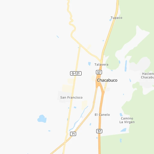
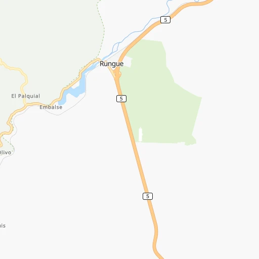
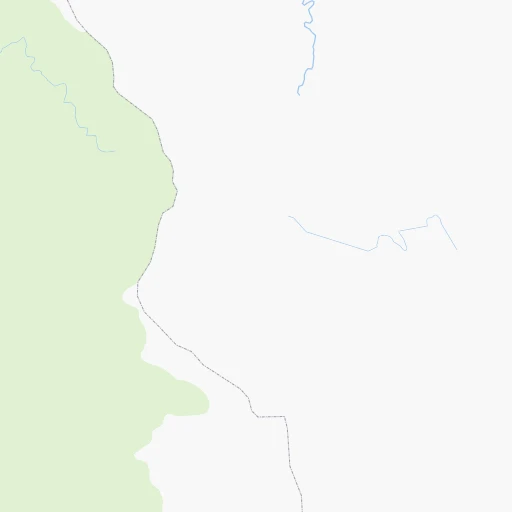
Roadmap (route) to go from La Victoria de Chacabuco Airport to Molina detailed above, you can also see the course layout on the map.
While doing trip La Victoria de Chacabuco (airport) - Molina by car, the calculated route ends at a distance , or more straight.
Distance and duration of the route between La Victoria de Chacabuco (airport) and Molina
Calculation of distance and route from Molina to La Victoria de Chacabuco (airport) :
235.4258.6 km3h44mn
Continue onto Ruta 71 0h12mn 13.9 kmKeep left onto 71 0h7mn 10.0 kmKeep left onto Ruta 5 Norte 0h10mn 17.4 kmKeep right and drive toward Al Sur 1h40mn 60.3 kmContinue onto Ruta 5 Sur 1h3mn 109.2 kmContinue onto Ruta 5 Sur 0h26mn 42.7 kmKeep right and take K-19 toward Molina 0h1mn 709 mTurn slight right onto Ruta J-77 0h4mn 3.7 kmTurn right onto Avenida Poniente 0h0mn 252 mTurn left onto Aromo 0h0mn 132 mTurn left onto Independencia 0h0mn 205 mArrive at destination 0h0mn 0 m
Travel from La Victoria de Chacabuco (airport) (Maule Region) to a selection of major cities.
Distances from La Victoria de Chacabuco Airport to biggest cities in Santiago Metropolitan
Other major cities in country :
- Punta Arenas [10], 117,430 inhabitants. 2,238 km
- Curico [11], 102,438 inhabitants. 221 km
- Villa Alemana [01], 97,320 inhabitants. 62 km
- Coronel [06], 92,940 inhabitants. 496 km
- San Antonio [01], 85,651 inhabitants. 103 km
- Chiguayante [06], 82,545 inhabitants. 481 km
- Ovalle [07], 77,138 inhabitants. 277 km
- Linares [11], 69,535 inhabitants. 322 km
- Quillota [01], 67,779 inhabitants. 54 km
- San Felipe [01], 59,294 inhabitants. 33 km
- Los Andes [01], 56,859 inhabitants. 26 km
Route from Molina to major cities (Chile).
- Distance Molina Santiago193 km
- Distance Molina Puente Alto179 km
- Distance Molina Antofagasta1,279 km
- Distance Molina Vina del Mar234 km
- Distance Molina Valparaiso234 km
- Distance Molina Talcahuano244 km
- Distance Molina San Bernardo178 km
- Distance Molina Temuco420 km
- Distance Molina Iquique1,662 km
- Distance Molina Concepcion248 km
- Distance Molina Rancagua116 km
- Distance Molina La Pintana181 km
- Distance Molina Arica1,855 km
- Distance Molina Coquimbo575 km
- Distance Molina Puerto Montt722 km
- Distance Molina La Serena580 km
- Distance Molina Chillan182 km
- Distance Molina Calama1,428 km
- Distance Molina Osorno629 km
- Distance Molina Valdivia551 km
Nearest cities to La Victoria de Chacabuco (airport) :
- Santiago, 4,837,295 inhabitants. 46 km
- Puente Alto, 510,417 inhabitants. 64 km
- Vina del Mar, 294,551 inhabitants. 79 km
- Valparaiso, 282,448 inhabitants. 86 km
- San Bernardo, 249,858 inhabitants. 60 km
- Rancagua, 212,695 inhabitants. 125 km
- La Pintana, 201,178 inhabitants. 60 km
- Talca, 197,479 inhabitants. 279 km
- Quilpue, 130,263 inhabitants. 69 km
- Lo Prado, 104,316 inhabitants. 44 km
- Curico, 102,438 inhabitants. 221 km
- Villa Alemana, 97,320 inhabitants. 62 km
- San Antonio, 85,651 inhabitants. 103 km
- Ovalle, 77,138 inhabitants. 277 km
- Linares, 69,535 inhabitants. 322 km
- Quillota, 67,779 inhabitants. 54 km
- Penaflor, 65,495 inhabitants. 64 km
- Melipilla, 63,100 inhabitants. 85 km
- San Felipe, 59,294 inhabitants. 33 km
- Los Andes, 56,859 inhabitants. 26 km
- Buin, 55,441 inhabitants. 76 km
- Talagante, 51,764 inhabitants. 71 km
- Hacienda La Calera, 49,106 inhabitants. 56 km
- Rengo, 38,100 inhabitants. 152 km
- Constitucion, 37,917 inhabitants. 299 km
- Limache, 35,876 inhabitants. 52 km
- Santa Cruz, 33,283 inhabitants. 187 km
- Paine, 32,766 inhabitants. 84 km
- Cauquenes, 31,362 inhabitants. 357 km
- San Vicente de Tagua Tagua, 29,560 inhabitants. 158 km
- Lampa, 29,250 inhabitants. 31 km
- Molina, 28,775 inhabitants. 236 km
- Machali, 27,595 inhabitants. 126 km
- La Ligua, 24,857 inhabitants. 83 km
- Graneros, 23,301 inhabitants. 113 km
- El Monte, 23,090 inhabitants. 75 km
- Illapel, 22,816 inhabitants. 164 km
- San Vicente, 22,572 inhabitants. 158 km
- San Javier, 22,427 inhabitants. 299 km
- Chicureo Abajo, 18,000 inhabitants. 27 km
- Chimbarongo, 17,356 inhabitants. 188 km
- Cartagena, 16,875 inhabitants. 101 km
- Llaillay, 16,646 inhabitants. 33 km
- Villa Presidente Frei, Nunoa, Santiago, Chile, 15,000 inhabitants. 47 km
- Monte Patria, 13,945 inhabitants. 263 km
- San Clemente, 13,656 inhabitants. 286 km
- Salamanca, 13,265 inhabitants. 143 km
- Rauco, 8,566 inhabitants. 216 km
- Teno, 6,858 inhabitants. 207 km
- Longavi, 6,325 inhabitants. 337 km
Location La Victoria de Chacabuco (airport) (Santiago Metropolitan) :
| Country flag |  |
| Location | La Victoria de Chacabuco (airport) |
| State | Santiago Metropolitan |
| County | Provincia de Chacabuco |
| Country | Chile |
| Country code / ISO 2 | CL |
| Latitude | -33.0497500 |
| Longitude | -70.7079600 |
| Altitude | 0 meters |
| Time zone | America/Santiago |
Location Molina (Maule Region) :
| Country flag | |
| Location | Molina |
| State | Maule Region |
| County | Provincia de Curicó |
| Country | Chile |
| Country code / ISO 2 | CL |
| Latitude | -35.1142800 |
| Longitude | -71.2823200 |
| Altitude | 0 meters |
| Time zone | America/Santiago |