
How to get from Villas de Alcalá (Nuevo León) to Víctor Rosales (Zacatecas)
Calculate route from Villas de Alcalá (Nuevo León, Mexico) to Víctor Rosales (Zacatecas, Mexico).
The flight distance (as the crow flies) between Villas de Alcalá and Víctor Rosales is 416.5 km.
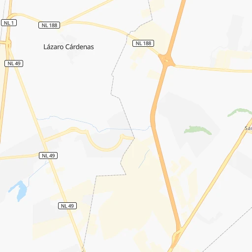
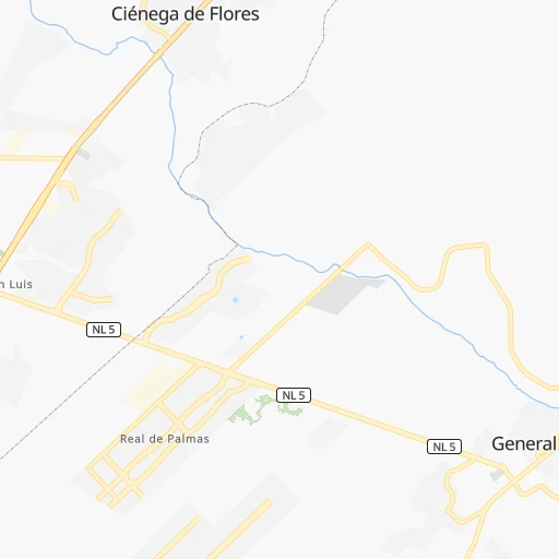
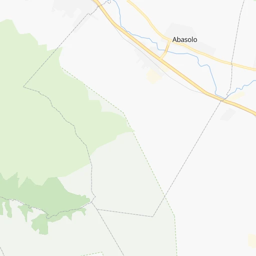
Roadmap (route) to go from Villas de Alcalá to Víctor Rosales detailed above, you can also see the course layout on the map.
While doing trip Villas de Alcalá - Víctor Rosales by car, the calculated route ends at a distance , or more straight.
Distance and duration of the route between Villas de Alcalá and Víctor Rosales
Calculation of distance and route from Víctor Rosales to Villas de Alcalá :
416.5477.3 km6h37mn
Continue onto Calle Villa Bruzual 0h0mn 20 mTurn right onto Boulevard Alcalá 0h0mn 48 mMake a U-turn onto Boulevard Alcalá 0h1mn 1.4 kmAt roundabout, take exit 2 onto Carretera A General Zuazua 0h0mn 363 mTurn slight right onto Carretera Monterrey-Nuevo Laredo 0h3mn 3.8 kmKeep left and take MEX 85 toward Monterrey 0h5mn 5.8 kmKeep right and take NL 100D, 1610 toward Saltillo 0h23mn 38.1 kmKeep right and take MEX 40D toward Saltillo 5h53mn 415.3 kmKeep right 0h9mn 10.2 kmKeep left onto MEX 45 and drive toward Calera 0h0mn 89 mAt roundabout, take exit 1 onto Prolongación 5 de Mayo Sur 0h1mn 1.3 kmContinue onto Prolongación 5 de Mayo Norte 0h1mn 812 mTurn right onto Melchor Ocampo 0h0mn 32 mArrive at destination 0h0mn 0 m
Travel from Villas de Alcalá (Zacatecas) to a selection of major cities.
Distances from Villas de Alcalá to biggest cities in Nuevo León
Other major cities in country :
- Coyoacan [09], 628,063 inhabitants. 739 km
- Santiago de Queretaro [22], 626,495 inhabitants. 593 km
- Saltillo [07], 621,250 inhabitants. 99 km
- Tlalpan [09], 607,545 inhabitants. 744 km
- Mexicali [02], 597,099 inhabitants. 1,658 km
- Hermosillo [26], 595,811 inhabitants. 1,123 km
- Morelia [16], 592,797 inhabitants. 699 km
- Veracruz [30], 568,313 inhabitants. 857 km
- Cancun [23], 542,043 inhabitants. 1,459 km
- Santa Maria Chimalhuacan [15], 525,389 inhabitants. 734 km
- Torreon [07], 524,066 inhabitants. 327 km
- Cuauhtemoc [09], 521,348 inhabitants. 728 km
- Ciudad Lopez Mateos [15], 521,034 inhabitants. 714 km
- Toluca [15], 505,881 inhabitants. 740 km
- Reynosa [28], 498,654 inhabitants. 191 km
- Tlaquepaque [14], 493,646 inhabitants. 668 km
- Tuxtla [05], 481,128 inhabitants. 1,255 km
- Cuautitlan Izcalli [15], 475,179 inhabitants. 705 km
- Victoria de Durango [10], 457,140 inhabitants. 498 km
- Heroica Matamoros [28], 449,815 inhabitants. 269 km
Route from Víctor Rosales to major cities (Mexico).
- Distance Víctor Rosales Mexico City540 km
- Distance Víctor Rosales Iztapalapa550 km
- Distance Víctor Rosales Ecatepec de Morelos530 km
- Distance Víctor Rosales Guadalajara264 km
- Distance Víctor Rosales Puebla639 km
- Distance Víctor Rosales Juarez1,045 km
- Distance Víctor Rosales Tijuana1,762 km
- Distance Víctor Rosales Ciudad Nezahualcoyotl550 km
- Distance Víctor Rosales Gustavo Adolfo Madero535 km
- Distance Víctor Rosales Monterrey388 km
- Distance Víctor Rosales Leon de los Aldama229 km
- Distance Víctor Rosales Zapopan258 km
- Distance Víctor Rosales Naucalpan de Juarez528 km
- Distance Víctor Rosales Chihuahua718 km
- Distance Víctor Rosales Alvaro Obregon540 km
- Distance Víctor Rosales Guadalupe392 km
- Distance Víctor Rosales Merida1,368 km
- Distance Víctor Rosales Tlalnepantla526 km
- Distance Víctor Rosales San Luis Potosi198 km
- Distance Víctor Rosales Culiacan519 km
Nearest cities to Villas de Alcalá :
- Monterrey, 1,122,874 inhabitants. 30 km
- Guadalupe, 724,921 inhabitants. 27 km
- Saltillo, 621,250 inhabitants. 99 km
- Reynosa, 498,654 inhabitants. 191 km
- Heroica Matamoros, 449,815 inhabitants. 269 km
- San Nicolas de los Garza, 443,273 inhabitants. 23 km
- Ciudad Apodaca, 352,064 inhabitants. 15 km
- Nuevo Laredo, 349,550 inhabitants. 186 km
- Ciudad General Escobedo, 308,206 inhabitants. 19 km
- Ciudad Victoria, 269,923 inhabitants. 264 km
- Santa Catarina, 254,472 inhabitants. 38 km
- Monclova, 195,764 inhabitants. 165 km
- Piedras Negras, 150,178 inhabitants. 312 km
- San Pedro Garza Garcia, 130,646 inhabitants. 36 km
- San Pedro Garza Garcia, 122,009 inhabitants. 36 km
- Fresnillo, 105,488 inhabitants. 408 km
- Ciudad Rio Bravo, 85,481 inhabitants. 209 km
- Cadereyta, 67,994 inhabitants. 42 km
- Matehuala, 67,717 inhabitants. 257 km
- Frontera, 64,976 inhabitants. 169 km
- Linares, 57,731 inhabitants. 133 km
- Jardines de la Silla (Jardines), 53,742 inhabitants. 32 km
- Sabinas, 49,199 inhabitants. 235 km
- Valle Hermoso, 47,831 inhabitants. 239 km
- Ramos Arizpe, 38,258 inhabitants. 87 km
- Montemorelos, 37,694 inhabitants. 88 km
- Nueva Rosita, 36,642 inhabitants. 248 km
- Santiago, 35,968 inhabitants. 55 km
- Fraccionamiento Real Palmas, 34,636 inhabitants. 3 km
- Ciudad Melchor Muzquiz, 32,799 inhabitants. 255 km
- Victor Rosales, 32,721 inhabitants. 417 km
- Parras de la Fuente, 32,253 inhabitants. 207 km
- Ciudad Sabinas Hidalgo, 32,047 inhabitants. 65 km
- Rio Grande, 29,841 inhabitants. 370 km
- San Fernando, 29,171 inhabitants. 237 km
- Garcia, 26,950 inhabitants. 43 km
- Ciudad de Allende, 22,609 inhabitants. 73 km
- Castanos, 20,809 inhabitants. 158 km
- Ciudad Miguel Aleman, 19,857 inhabitants. 128 km
- Allende, 19,636 inhabitants. 278 km
- San Buenaventura, 18,822 inhabitants. 186 km
- Nava, 18,639 inhabitants. 285 km
- Parque Industrial Ciudad Mitras, 18,312 inhabitants. 30 km
- Mitras Poniente, 18,246 inhabitants. 29 km
- Anahuac, 17,181 inhabitants. 148 km
- Palau, 16,904 inhabitants. 252 km
- Hidalgo, 15,227 inhabitants. 57 km
- Ciudad Benito Juarez, 14,228 inhabitants. 31 km
- Ciudad Gustavo Diaz Ordaz, 12,698 inhabitants. 163 km
- Aldama, 12,292 inhabitants. 396 km
Location Villas de Alcalá (Nuevo León) :
| Country flag |  |
| Location | Villas de Alcalá |
| State | Nuevo León |
| County | General Zuazua |
| Country | Mexico |
| Country code / ISO 2 | MX |
| Latitude | 25.9152800 |
| Longitude | -100.1852800 |
| Altitude | 0 meters |
| Time zone | America/Monterrey |
Location Víctor Rosales (Zacatecas) :
| Country flag | |
| Location | Víctor Rosales |
| State | Zacatecas |
| County | Calera |
| Country | Mexico |
| Country code / ISO 2 | MX |
| Latitude | 22.9488900 |
| Longitude | -102.7022200 |
| Altitude | 0 meters |
| Time zone | America/Mexico_City |