


How to get from Mingary Railway Station (South Australia) to Geelong (Victoria)
Calculate route from Mingary Railway Station (South Australia, Australia) to Geelong (Victoria, Australia).
The flight distance (as the crow flies) between Mingary Railway Station and Geelong is 745.2 km.
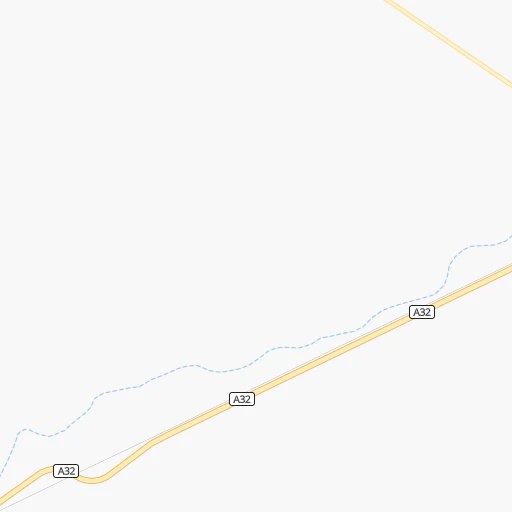
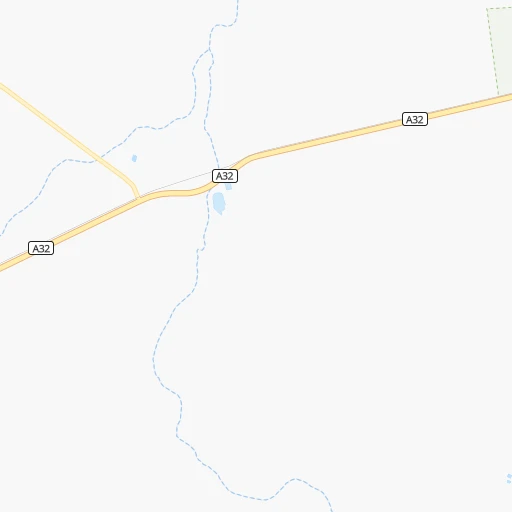
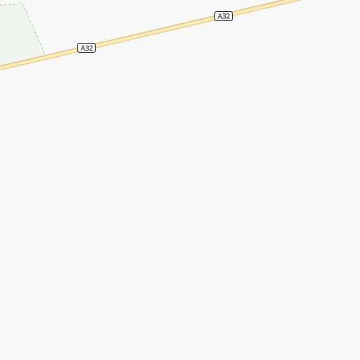
Roadmap (route) to go from Mingary Railway Station to Geelong detailed above, you can also see the course layout on the map.
While doing trip Mingary Railway Station - Geelong by car, the calculated route ends at a distance , or more straight.
Distance and duration of the route between Mingary Railway Station and Geelong
Calculation of distance and route from Geelong to Mingary Railway Station :
745.2890.5 km10h8mn
Continue onto Barrier Highway 1h41mn 68.2 kmTurn right onto Creedon Street 0h2mn 1.4 kmTurn right onto Ryan Street 0h4mn 3.6 kmTurn right onto Silver City Highway 3h38mn 260.1 kmTurn left onto Sandwych Street 0h1mn 524 mTurn sharp right onto Wentworth Street 0h0mn 38 mTurn slight left onto Wentworth Street 0h21mn 27.3 kmAt roundabout, take exit 2 onto Seventeenth Street 0h1mn 698 mTurn left onto San Mateo Avenue 0h3mn 2.7 kmTurn right onto Fifteenth Street 0h1mn 634 mAt roundabout, take exit 2 onto Fifteenth Street 0h1mn 641 mAt roundabout, take exit 2 onto Fifteenth Street 0h1mn 651 mAt roundabout, take exit 2 onto Fifteenth Street 0h2mn 2.6 kmAt roundabout, take exit 2 onto Fifteenth Street 0h1mn 1.3 kmTurn slight left onto Ginquam Avenue 1h37mn 58.9 kmAt roundabout, take exit 2 onto Calder Highway 0h29mn 45.4 kmTurn right onto Sunraysia Highway and drive toward St Arnaud, Ballarat 1h38mn 55.9 kmKeep left onto Sunraysia Highway 0h9mn 12.9 kmTurn right onto Sunraysia Highway 0h26mn 38.6 kmKeep right onto McLoughlans Road 0h2mn 2.8 kmTurn left onto Wirmbirchip Road 0h1mn 2.1 kmKeep right onto Angle Road 0h3mn 4.0 kmKeep left onto Angle Road 0h3mn 4.8 kmTurn left onto Warracknabeal - Birchip Road 0h1mn 1.0 kmKeep right 0h0mn 228 mContinue onto Sunraysia Highway 0h2mn 3.7 kmTurn left onto Corack Cemetery Road 0h0mn 428 mKeep right onto Single Tree Road 0h3mn 3.9 kmContinue 0h0mn 229 mContinue onto Corack - Watchem Road 0h1mn 1.2 kmTurn left onto Single Tree Road 0h12mn 18.1 kmContinue onto Single Tree Road 0h2mn 2.4 kmTurn left onto Sunraysia Highway 1h32mn 45.0 kmAt roundabout, take exit 3 onto Napier Street 0h2mn 1.4 kmAt roundabout, take exit 3 onto Melbourne Road 2h32mn 119.0 kmKeep left onto Western Freeway Onramp toward M8 0h4mn 6.4 kmKeep left onto Midland Highway Offramp and take A300 toward City Centre, Geelong, Creswick, Castlemaine 0h0mn 529 mAt roundabout, take exit 3 onto Creswick Road 0h1mn 1.2 kmAt roundabout, take exit 2 onto Creswick Road 0h4mn 3.4 kmAt roundabout, take exit 3 onto Doveton Street North 0h1mn 990 mTurn left onto Eyre Street 0h0mn 120 mAt roundabout, take exit 2 onto Grant Street 0h0mn 282 mAt roundabout, take exit 2 onto Grant Street 0h0mn 276 mAt roundabout, take exit 2 onto Grant Street 0h0mn 225 mAt roundabout, take exit 2 onto Grant Street 0h1mn 825 mTurn left onto Grant Street 0h0mn 60 mAt roundabout, take exit 3 onto Main Road 0h1mn 852 mAt roundabout, take exit 2 onto Geelong Road 0h1mn 734 mAt roundabout, take exit 2 onto Geelong Road 0h2mn 1.6 kmAt roundabout, take exit 1 onto Geelong Road 0h3mn 2.6 kmAt roundabout, take exit 2 onto Geelong Road 0h3mn 3.0 kmAt roundabout, take exit 1 onto Learmonth Street 1h40mn 56.0 kmAt roundabout, take exit 1 onto Midland Highway 0h4mn 4.9 kmAt roundabout, take exit 1 onto Midland Highway 0h11mn 12.3 kmKeep left and take A10 toward City Centre, Colac 0h0mn 358 mKeep left onto Keera Street and drive toward Mercer Street, City Centre 0h2mn 1.3 kmTurn left onto Malop Street 0h0mn 232 mTurn left onto Moorabool Street 0h0mn 12 mArrive at destination 0h0mn 0 m
Travel from Mingary Railway Station (Victoria) to a selection of major cities.
Distances from Mingary Railway Station to biggest cities in South Australia
Other major cities in country :
- Mackay [04], 74,219 inhabitants. 1,479 km
- Bundaberg [04], 70,826 inhabitants. 1,391 km
- Bunbury [08], 68,248 inhabitants. 2,350 km
- Maitland [02], 67,132 inhabitants. 1,017 km
- Armadale [08], 62,296 inhabitants. 2,327 km
- Rockhampton [04], 61,724 inhabitants. 1,366 km
- South Brisbane [04], 60,000 inhabitants. 1,292 km
Route from Geelong to major cities (Australia).
- Distance Geelong Sydney779 km
- Distance Geelong Brisbane1,437 km
- Distance Geelong Perth2,675 km
- Distance Geelong Adelaide627 km
- Distance Geelong Gold Coast1,410 km
- Distance Geelong Canberra531 km
- Distance Geelong Newcastle888 km
- Distance Geelong Wollongong718 km
- Distance Geelong Logan City1,426 km
- Distance Geelong Hobart584 km
- Distance Geelong Townsville2,115 km
- Distance Geelong Cairns2,367 km
- Distance Geelong Toowoomba1,375 km
- Distance Geelong Darwin3,158 km
- Distance Geelong Rockingham2,673 km
- Distance Geelong Launceston436 km
- Distance Geelong Mandurah2,663 km
- Distance Geelong Mackay1,947 km
- Distance Geelong Bundaberg1,660 km
- Distance Geelong Bunbury2,639 km
Nearest cities to Mingary Railway Station :
- Adelaide, 1,225,235 inhabitants. 371 km
- Adelaide Hills, 60,394 inhabitants. 364 km
- Mildura, 30,016 inhabitants. 265 km
- Prospect, 20,217 inhabitants. 367 km
- Gawler, 20,006 inhabitants. 333 km
- Murray Bridge, 19,577 inhabitants. 361 km
- Broken Hill, 18,430 inhabitants. 68 km
- Paralowie, 15,872 inhabitants. 354 km
- Parafield Gardens, 15,317 inhabitants. 357 km
- Port Augusta, 13,257 inhabitants. 283 km
- Port Pirie, 13,206 inhabitants. 282 km
- Port Augusta West, 12,133 inhabitants. 284 km
- Happy Valley, 11,531 inhabitants. 388 km
- Seaton, 9,704 inhabitants. 372 km
- Athelstone, 9,290 inhabitants. 360 km
- Golden Grove, 8,976 inhabitants. 350 km
- Ingle Farm, 8,474 inhabitants. 360 km
- Mount Barker, 8,357 inhabitants. 371 km
- Hope Valley, 8,223 inhabitants. 357 km
- Campbelltown, 7,005 inhabitants. 363 km
- North Adelaide, 6,678 inhabitants. 369 km
- Salisbury, 6,648 inhabitants. 354 km
- Paradise, 6,327 inhabitants. 362 km
- Modbury, 5,570 inhabitants. 358 km
- Findon, 5,451 inhabitants. 371 km
- Henley Beach, 5,405 inhabitants. 375 km
- Grange, 5,238 inhabitants. 374 km
- Klemzig, 5,087 inhabitants. 364 km
- Nuriootpa, 5,031 inhabitants. 308 km
- Tanunda, 4,684 inhabitants. 315 km
- Enfield, 4,389 inhabitants. 363 km
- Belair, 4,382 inhabitants. 376 km
- Berri, 4,330 inhabitants. 241 km
- Fullarton, 4,083 inhabitants. 371 km
- Blair Athol, 3,969 inhabitants. 364 km
- South Plympton, 3,805 inhabitants. 377 km
- Blackwood, 3,799 inhabitants. 379 km
- Coromandel Valley, 3,779 inhabitants. 381 km
- Glenelg East, 3,701 inhabitants. 379 km
- Elizabeth, 3,668 inhabitants. 347 km
- Nairne, 3,648 inhabitants. 366 km
- Marion, 3,626 inhabitants. 380 km
- Unley, 3,585 inhabitants. 373 km
- Hectorville, 3,477 inhabitants. 364 km
- Bridgewater, 3,469 inhabitants. 370 km
- Aldgate, 3,343 inhabitants. 372 km
- Brighton, 3,336 inhabitants. 383 km
- Willaston, 3,209 inhabitants. 331 km
- Glenelg, 3,125 inhabitants. 380 km
- Clare, 3,061 inhabitants. 276 km
Location Mingary Railway Station (South Australia) :
| Country flag |  |
| Location | Mingary Railway Station |
| State | South Australia |
| County | |
| Country | Australia |
| Country code / ISO 2 | AU |
| Latitude | -32.1234000 |
| Longitude | 140.7513000 |
| Altitude | 0 meters |
| Time zone | Australia/Adelaide |
Location Geelong (Victoria) :
| Country flag | |
| Location | Geelong |
| State | Victoria |
| County | Greater Geelong |
| Country | Australia |
| Country code / ISO 2 | AU |
| Latitude | -38.1471100 |
| Longitude | 144.3606900 |
| Altitude | 0 meters |
| Time zone | Australia/Melbourne |


