
How to get from Fumar (Queensland) to Mareeba (Queensland)
Calculate route from Fumar (Queensland, Australia) to Mareeba (Queensland, Australia).
The flight distance (as the crow flies) between Fumar and Mareeba is 30.5 km.
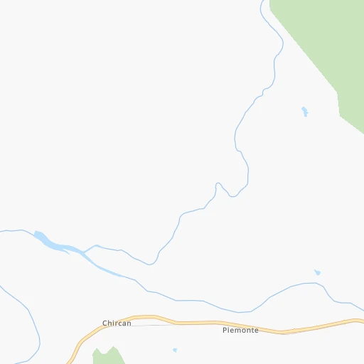
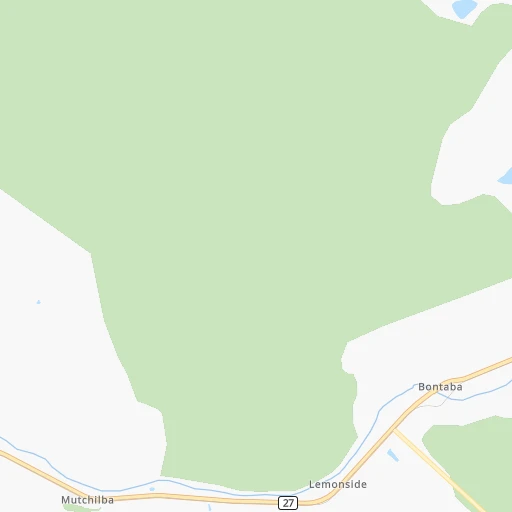
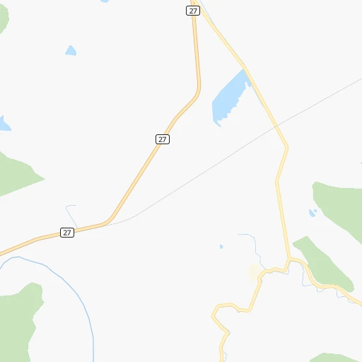
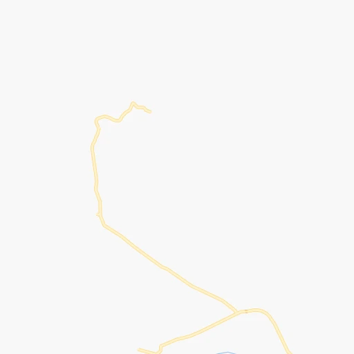
Roadmap (route) to go from Fumar to Mareeba detailed above, you can also see the course layout on the map.
While doing trip Fumar - Mareeba by car, the calculated route ends at a distance , or more straight.
Distance and duration of the route between Fumar and Mareeba
Calculation of distance and route from Mareeba to Fumar :
30.537.6 km1h34mn
Continue onto Mareeba Dimbulah Road 1h33mn 36.7 kmTurn right onto Mulligan Highway 0h1mn 614 mAt roundabout, take exit 2 onto Byrnes Street 0h0mn 251 mTurn left onto Middlemiss Street 0h0mn 101 mArrive at destination 0h0mn 0 m
Travel from Fumar (Queensland) to a selection of major cities.
Distances from Fumar to biggest cities in Queensland
Other major cities in country :
Route from Mareeba to major cities (Australia).
- Distance Mareeba Sydney1,966 km
- Distance Mareeba Melbourne2,318 km
- Distance Mareeba Perth3,410 km
- Distance Mareeba Adelaide2,109 km
- Distance Mareeba Canberra2,069 km
- Distance Mareeba Newcastle1,885 km
- Distance Mareeba Wollongong2,016 km
- Distance Mareeba Geelong2,357 km
- Distance Mareeba Hobart2,888 km
- Distance Mareeba Darwin1,648 km
- Distance Mareeba Rockingham3,435 km
- Distance Mareeba Launceston2,726 km
- Distance Mareeba Bendigo2,203 km
- Distance Mareeba Ballarat2,296 km
- Distance Mareeba Mandurah3,446 km
- Distance Mareeba Bunbury3,489 km
- Distance Mareeba Maitland1,858 km
- Distance Mareeba Armadale3,405 km
- Distance Mareeba Adelaide Hills2,104 km
Nearest cities to Fumar :
- Townsville, 196,219 inhabitants. 293 km
- Cairns, 153,075 inhabitants. 67 km
- Kirwan, 21,416 inhabitants. 292 km
- Charters Towers, 9,573 inhabitants. 347 km
- Ayr, 9,078 inhabitants. 359 km
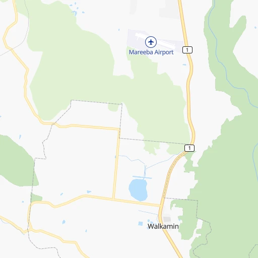
- Mareeba, 8,403 inhabitants. 31 km
- Innisfail, 8,262 inhabitants. 100 km
- Atherton, 6,959 inhabitants. 35 km
- Ingham, 6,127 inhabitants. 198 km
- Redlynch, 6,069 inhabitants. 62 km
- Woree, 4,374 inhabitants. 64 km
- Trinity Beach, 3,973 inhabitants. 67 km
Location Fumar (Queensland) :
| Country flag |  |
| Location | Fumar |
| State | Queensland |
| County | Tablelands |
| Country | Australia |
| Country code / ISO 2 | AU |
| Latitude | -17.1339200 |
| Longitude | 145.1776600 |
| Altitude | 0 meters |
| Time zone | Australia/Brisbane |
Location Mareeba (Queensland) :
| Country flag | |
| Location | Mareeba |
| State | Queensland |
| County | Tablelands |
| Country | Australia |
| Country code / ISO 2 | AU |
| Latitude | -16.9909600 |
| Longitude | 145.4230600 |
| Altitude | 0 meters |
| Time zone | Australia/Brisbane |