
How to get from Derain Railway Station (New South Wales) to Strathfield (New South Wales)
Calculate route from Derain Railway Station (New South Wales, Australia) to Strathfield (New South Wales, Australia).
The flight distance (as the crow flies) between Derain Railway Station and Strathfield is 388.9 km.
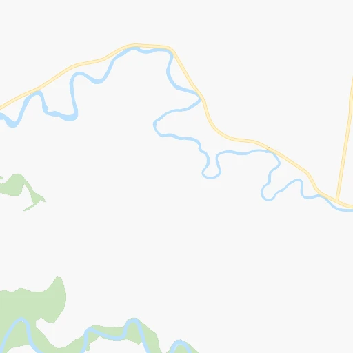
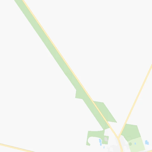
Roadmap (route) to go from Derain Railway Station to Strathfield detailed above, you can also see the course layout on the map.
While doing trip Derain Railway Station - Strathfield by car, the calculated route ends at a distance , or more straight.
Distance and duration of the route between Derain Railway Station and Strathfield
Calculation of distance and route from Strathfield to Derain Railway Station :
388.9472.8 km5h15mn
Continue onto Canola Way 0h4mn 5.1 kmTurn right onto Ford Street 0h0mn 306 mTurn left onto Waterview Street 0h11mn 15.1 kmAt roundabout, take exit 2 onto Wade Street 0h22mn 30.4 kmTurn left onto Bolton Street 0h1mn 1.3 kmTurn right onto Old Junee Road 0h4mn 5.7 kmTurn left onto Queen Street 0h2mn 1.2 kmTurn left onto Olympic Highway 0h19mn 27.5 kmTurn left onto Ironbong Street 0h1mn 391 mTurn right onto Baylis Street 0h17mn 23.0 kmAt roundabout, take exit 2 onto Sutton Street 0h0mn 260 mTurn right onto Wallendoon Street 0h0mn 137 mTurn left onto Hovell Street 0h2mn 1.3 kmTurn right onto Yass Road 0h13mn 17.8 kmAt roundabout, take exit 3 onto Victoria Street 1h35mn 49.0 kmTurn right onto Stephens Street 0h13mn 17.9 kmKeep left onto Burley Griffin Way 0h12mn 19.7 kmKeep right onto Hume Highway and drive toward Goulburn, Sydney 2h19mn 231.5 kmKeep right onto M5 Motorway and take M5 toward Sydney 0h10mn 15.5 kmKeep left onto Fairford Road Offramp and take A6 toward Bankstown, Silverwater, Menai, South Coast 0h0mn 381 mKeep left onto Fairford Road Offramp 0h4mn 4.0 kmTurn right onto Hume Highway 0h4mn 3.8 kmTurn left onto Hedges Avenue 0h0mn 180 mTurn right onto Morgan Place 0h0mn 195 mTurn slight left onto Cave Road 0h0mn 95 mTurn left onto Myrna Road 0h0mn 65 mTurn right onto Glenarvon Street 0h0mn 116 mTurn left onto South Street 0h0mn 329 mTurn right onto Ada Avenue 0h0mn 280 mAt roundabout, take exit 1 onto Wallis Avenue 0h0mn 84 mArrive at destination 0h0mn 0 m
Travel from Derain Railway Station (New South Wales) to a selection of major cities.
Distances from Derain Railway Station to biggest cities in New South Wales
- Kellyville,27,971 inhabitants.384 km
- Port Stephens,27,531 inhabitants.524 km
- Banora Point,27,368 inhabitants.959 km
- Maroubra,26,538 inhabitants.401 km
- Coffs Harbour,26,353 inhabitants.761 km
- Mosman,26,236 inhabitants.405 km
- Randwick,25,819 inhabitants.404 km
- Strathfield,25,813 inhabitants.390 km
- Quakers Hill,25,017 inhabitants.377 km
- Campsie,24,541 inhabitants.391 km
- Marrickville,23,161 inhabitants.395 km
- Granville,22,889 inhabitants.385 km
- Armidale,22,673 inhabitants.648 km
- Ashfield,22,000 inhabitants.393 km
- Cabramatta,21,783 inhabitants.376 km
- Greystanes,21,703 inhabitants.380 km
- Carlingford,21,364 inhabitants.390 km
- Liverpool,21,317 inhabitants.375 km
- Caringbah,21,283 inhabitants.388 km
- Goulburn,20,940 inhabitants.250 km
Other major cities in country :
- Bunbury [08], 68,248 inhabitants. 2,884 km
- Armadale [08], 62,296 inhabitants. 2,880 km
- Rockhampton [04], 61,724 inhabitants. 1,314 km
- Adelaide Hills [05], 60,394 inhabitants. 756 km
- South Brisbane [04], 60,000 inhabitants. 995 km
Route from Strathfield to major cities (Australia).
- Distance Strathfield Melbourne704 km
- Distance Strathfield Brisbane738 km
- Distance Strathfield Perth3,282 km
- Distance Strathfield Adelaide1,152 km
- Distance Strathfield Gold Coast692 km
- Distance Strathfield Canberra237 km
- Distance Strathfield Logan City721 km
- Distance Strathfield Geelong769 km
- Distance Strathfield Hobart1,053 km
- Distance Strathfield Townsville1,681 km
- Distance Strathfield Cairns1,961 km
- Distance Strathfield Toowoomba709 km
- Distance Strathfield Darwin3,145 km
- Distance Strathfield Rockingham3,286 km
- Distance Strathfield Launceston910 km
- Distance Strathfield Bendigo695 km
- Distance Strathfield Ballarat771 km
- Distance Strathfield Mandurah3,281 km
- Distance Strathfield Mackay1,429 km
- Distance Strathfield Bundaberg1,011 km
Nearest cities to Derain Railway Station :
- Canberra, 367,752 inhabitants. 203 km
- Bendigo, 100,617 inhabitants. 329 km
- Reservoir, 47,637 inhabitants. 372 km
- Wagga Wagga, 46,913 inhabitants. 51 km
- Albury, 45,627 inhabitants. 144 km
- Queanbeyan, 40,661 inhabitants. 214 km
- Orange, 39,329 inhabitants. 257 km
- Shepparton, 38,773 inhabitants. 229 km
- Melton, 35,490 inhabitants. 388 km
- Saint Albans, 35,091 inhabitants. 383 km
- St Albans, 33,511 inhabitants. 384 km
- Bathurst, 33,110 inhabitants. 283 km
- Dubbo, 32,327 inhabitants. 320 km
- Epping, 32,200 inhabitants. 364 km
- Wodonga, 31,605 inhabitants. 149 km
- Mill Park, 30,517 inhabitants. 364 km
- Preston, 29,925 inhabitants. 375 km
- Sunbury, 29,925 inhabitants. 371 km
- Bundoora, 25,709 inhabitants. 368 km
- Coburg, 24,977 inhabitants. 377 km
- Northcote, 22,920 inhabitants. 377 km
- Goulburn, 20,940 inhabitants. 250 km
- Thomastown, 20,331 inhabitants. 368 km
- Greensborough, 20,214 inhabitants. 367 km
- Lalor, 19,873 inhabitants. 367 km
- Brunswick, 19,867 inhabitants. 378 km
- Craigieburn, 19,728 inhabitants. 363 km
- Glenroy, 19,644 inhabitants. 373 km
- Echuca, 19,457 inhabitants. 253 km
- Roxburgh Park, 19,235 inhabitants. 367 km
- Essendon, 18,852 inhabitants. 381 km
- Eltham, 18,162 inhabitants. 368 km
- Thornbury, 17,434 inhabitants. 375 km
- Wangaratta, 16,845 inhabitants. 186 km
- Hillside, 16,326 inhabitants. 381 km
- Deer Park, 16,204 inhabitants. 387 km
- Taylors Lakes, 16,095 inhabitants. 380 km
- Lilydale, 15,649 inhabitants. 362 km
- Griffith, 15,455 inhabitants. 102 km
- Pascoe Vale, 15,000 inhabitants. 377 km
- Meadow Heights, 14,843 inhabitants. 369 km
- Bacchus Marsh, 13,575 inhabitants. 395 km
- Moonee Ponds, 13,532 inhabitants. 381 km
- Keilor East, 13,259 inhabitants. 380 km
- Templestowe Lower, 13,152 inhabitants. 372 km
- Brunswick West, 13,148 inhabitants. 379 km
- Fawkner, 12,596 inhabitants. 374 km
- Lavington, 12,032 inhabitants. 140 km
- Doreen, 12,000 inhabitants. 354 km
- Greenvale, 11,969 inhabitants. 370 km
Location Derain Railway Station (New South Wales) :
| Country flag |  |
| Location | Derain Railway Station |
| State | New South Wales |
| County | Coolamon |
| Country | Australia |
| Country code / ISO 2 | AU |
| Latitude | -34.7818000 |
| Longitude | 146.9846000 |
| Altitude | 0 meters |
| Time zone | Australia/Sydney |
Location Strathfield (New South Wales) :
| Country flag | |
| Location | Strathfield |
| State | New South Wales |
| County | Strathfield |
| Country | Australia |
| Country code / ISO 2 | AU |
| Latitude | -33.8809600 |
| Longitude | 151.0798600 |
| Altitude | 0 meters |
| Time zone | Australia/Sydney |


