
How to get from Cowra Railway Station (New South Wales) to Armidale (New South Wales)
Calculate route from Cowra Railway Station (New South Wales, Australia) to Armidale (New South Wales, Australia).
The flight distance (as the crow flies) between Cowra Railway Station and Armidale is 463.3 km.
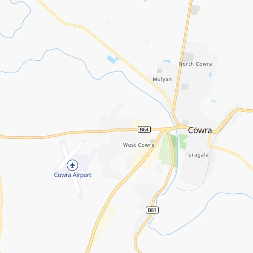
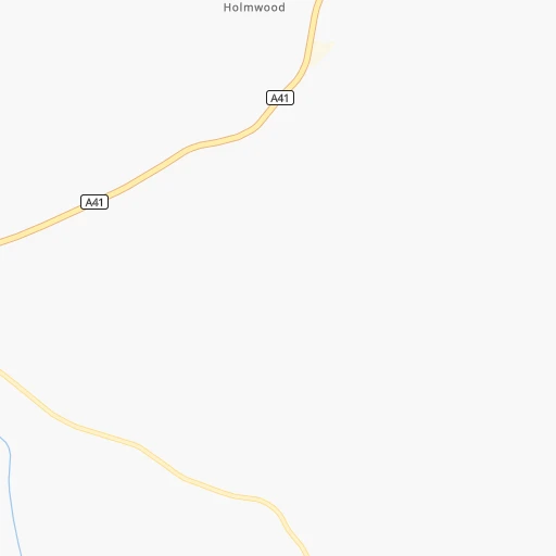
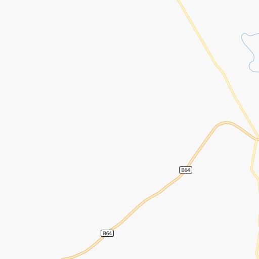
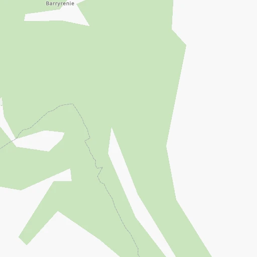
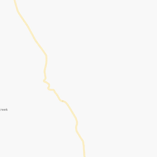
Roadmap (route) to go from Cowra Railway Station to Armidale detailed above, you can also see the course layout on the map.
While doing trip Cowra Railway Station - Armidale by car, the calculated route ends at a distance , or more straight.
Distance and duration of the route between Cowra Railway Station and Armidale
Calculation of distance and route from Armidale to Cowra Railway Station :
463.3583.4 km7h12mn
Continue onto Market Street 0h0mn 6 mTurn right onto College Drive 0h1mn 1.0 kmAt roundabout, take exit 3 onto Brisbane Street 0h3mn 2.2 kmTurn left onto Evans Street 0h1mn 740 mTurn right onto Canowindra Road 0h19mn 28.1 kmContinue onto Bridge Street 0h2mn 1.3 kmTurn right onto Ferguson Street 0h0mn 232 mTurn left onto Rodd Street 0h4mn 4.0 kmContinue onto Canowindra Road 0h21mn 30.7 kmTurn right onto Main Street 0h9mn 11.5 kmTurn left onto Peabody Road 0h11mn 15.8 kmTurn right onto Wellington Street 0h0mn 112 mTurn left onto George Street 0h0mn 353 mTurn left onto Riddell Street 0h0mn 58 mTurn right onto William Street 0h1mn 473 mTurn left onto Hill Street 0h0mn 178 mTurn right onto King Street 0h1mn 500 mTurn right onto Castle Street 0h0mn 198 mTurn left onto Market Street 1h43mn 63.0 kmTurn left onto Zouch Street 0h1mn 665 mAt roundabout, take exit 2 onto Percy Street 0h1mn 556 mAt roundabout, take exit 2 onto Lee Street 0h2mn 1.3 kmTurn right onto Goolma Road 1h31mn 44.8 kmTurn left onto Mebul Road 0h27mn 16.9 kmTurn right onto Spring Ridge Road 0h5mn 4.1 kmTurn left onto Castlereagh Highway 0h25mn 37.7 kmTurn right onto Golden Highway 0h1mn 1.3 kmTurn left onto Black Stump Way 0h25mn 35.2 kmTurn right onto Booyamurra Street 0h1mn 659 mTurn sharp right onto Vinegaroy Road 0h1mn 1.4 kmTurn left onto Coolah Creek Road 0h27mn 40.4 kmTurn right onto Rockgedgiel Road 0h4mn 6.0 kmContinue onto Bundella Road 0h4mn 5.3 kmContinue onto Morduval Lane 0h9mn 13.4 kmTurn right onto Coonabarabran Road 0h24mn 34.1 kmTurn left onto Waverley Road 0h3mn 4.0 kmTurn right onto Waverley Road 0h5mn 7.1 kmTurn right onto Kamilaroi Highway 0h0mn 291 mTurn left onto Gap Road 0h9mn 12.4 kmTurn left onto Werris Creek Road 0h25mn 36.0 kmTurn right onto Burgmanns Lane 0h5mn 7.3 kmTurn left onto Burgess Lane 0h2mn 1.7 kmTurn right onto Calala Lane 0h4mn 4.9 kmAt roundabout, take exit 1 onto Nundle Road 0h1mn 551 mTurn sharp right onto New England Highway 1h8mn 97.2 kmAt roundabout, take exit 2 onto New England Highway 0h2mn 1.4 kmAt roundabout, take exit 1 onto New England Highway 0h3mn 3.8 kmTurn left onto Martin Street 0h0mn 136 mAt roundabout, take exit 3 onto Queen Elizabeth Drive 0h1mn 674 mAt roundabout, take exit 2 onto Donnelly Street 0h1mn 454 mTurn left onto O'Dell Street 0h1mn 668 mTurn right onto Erskine Street 0h1mn 611 mAt roundabout, take exit 2 onto Erskine Street 0h0mn 77 mArrive at destination 0h0mn 0 m
Travel from Cowra Railway Station (New South Wales) to a selection of major cities.
Distances from Cowra Railway Station to biggest cities in New South Wales
- Kellyville,27,971 inhabitants.209 km
- Port Stephens,27,531 inhabitants.337 km
- Banora Point,27,368 inhabitants.777 km
- Maroubra,26,538 inhabitants.234 km
- Coffs Harbour,26,353 inhabitants.573 km
- Mosman,26,236 inhabitants.235 km
- Randwick,25,819 inhabitants.236 km
- Strathfield,25,813 inhabitants.220 km
- Quakers Hill,25,017 inhabitants.202 km
- Campsie,24,541 inhabitants.222 km
- Marrickville,23,161 inhabitants.227 km
- Granville,22,889 inhabitants.214 km
- Armidale,22,673 inhabitants.464 km
- Ashfield,22,000 inhabitants.224 km
- Cabramatta,21,783 inhabitants.207 km
- Greystanes,21,703 inhabitants.208 km
- Carlingford,21,364 inhabitants.217 km
- Liverpool,21,317 inhabitants.206 km
- Caringbah,21,283 inhabitants.225 km
- Goulburn,20,940 inhabitants.139 km
Other major cities in country :
- Bunbury [08], 68,248 inhabitants. 3,053 km
- Armadale [08], 62,296 inhabitants. 3,045 km
- Rockhampton [04], 61,724 inhabitants. 1,177 km
- Adelaide Hills [05], 60,394 inhabitants. 926 km
- South Brisbane [04], 60,000 inhabitants. 819 km
Route from Armidale to major cities (Australia).
- Distance Armidale Melbourne1,021 km
- Distance Armidale Brisbane363 km
- Distance Armidale Perth3,397 km
- Distance Armidale Adelaide1,318 km
- Distance Armidale Gold Coast327 km
- Distance Armidale Canberra583 km
- Distance Armidale Logan City348 km
- Distance Armidale Geelong1,083 km
- Distance Armidale Hobart1,431 km
- Distance Armidale Townsville1,343 km
- Distance Armidale Cairns1,626 km
- Distance Armidale Toowoomba329 km
- Distance Armidale Darwin2,936 km
- Distance Armidale Rockingham3,405 km
- Distance Armidale Launceston1,284 km
- Distance Armidale Bendigo976 km
- Distance Armidale Ballarat1,066 km
- Distance Armidale Mandurah3,403 km
- Distance Armidale Mackay1,070 km
- Distance Armidale Bundaberg631 km
Nearest cities to Cowra Railway Station :
- Sydney, 4,627,345 inhabitants. 232 km
- Canberra, 367,752 inhabitants. 166 km
- Wollongong, 292,190 inhabitants. 212 km
- Maitland, 67,132 inhabitants. 293 km
- Tamworth, 47,597 inhabitants. 370 km
- Wagga Wagga, 46,913 inhabitants. 190 km
- Albury, 45,627 inhabitants. 298 km
- Queanbeyan, 40,661 inhabitants. 176 km
- Orange, 39,329 inhabitants. 71 km
- Blacktown, 39,000 inhabitants. 205 km
- Castle Hill, 35,389 inhabitants. 213 km
- Nowra, 34,479 inhabitants. 210 km
- Baulkham Hills, 33,945 inhabitants. 212 km
- Auburn, 33,122 inhabitants. 216 km
- Bathurst, 33,110 inhabitants. 94 km
- Dubbo, 32,327 inhabitants. 177 km
- Wodonga, 31,605 inhabitants. 304 km
- Bankstown, 30,572 inhabitants. 216 km
- Hurstville, 29,822 inhabitants. 222 km
- Kellyville, 27,971 inhabitants. 209 km
- Maroubra, 26,538 inhabitants. 234 km
- Mosman, 26,236 inhabitants. 235 km
- Randwick, 25,819 inhabitants. 236 km
- Strathfield, 25,813 inhabitants. 220 km
- Quakers Hill, 25,017 inhabitants. 202 km
- Campsie, 24,541 inhabitants. 222 km
- Marrickville, 23,161 inhabitants. 227 km
- Granville, 22,889 inhabitants. 214 km
- Ashfield, 22,000 inhabitants. 224 km
- Cabramatta, 21,783 inhabitants. 207 km
- Greystanes, 21,703 inhabitants. 208 km
- Carlingford, 21,364 inhabitants. 217 km
- Liverpool, 21,317 inhabitants. 206 km
- Caringbah, 21,283 inhabitants. 225 km
- Goulburn, 20,940 inhabitants. 139 km
- Punchbowl, 20,236 inhabitants. 217 km
- Hornsby, 19,863 inhabitants. 222 km
- St Clair, 19,837 inhabitants. 193 km
- Glenmore Park, 19,200 inhabitants. 182 km
- Epping, 18,969 inhabitants. 220 km
- Cherrybrook, 18,778 inhabitants. 217 km
- Katoomba, 18,593 inhabitants. 149 km
- Parramatta, 18,448 inhabitants. 213 km
- Fairfield, 18,081 inhabitants. 208 km
- Engadine, 17,937 inhabitants. 215 km
- Eastwood, 17,865 inhabitants. 220 km
- Dee Why, 17,463 inhabitants. 241 km
- Wahroonga, 17,371 inhabitants. 224 km
- North Ryde, 17,208 inhabitants. 224 km
- Wangaratta, 16,845 inhabitants. 355 km
Location Cowra Railway Station (New South Wales) :
| Country flag |  |
| Location | Cowra Railway Station |
| State | New South Wales |
| County | Cowra |
| Country | Australia |
| Country code / ISO 2 | AU |
| Latitude | -33.8318000 |
| Longitude | 148.7012000 |
| Altitude | 0 meters |
| Time zone | Australia/Sydney |
Location Armidale (New South Wales) :
| Country flag | |
| Location | Armidale |
| State | New South Wales |
| County | Armidale Dumaresq |
| Country | Australia |
| Country code / ISO 2 | AU |
| Latitude | -30.5012300 |
| Longitude | 151.6655300 |
| Altitude | 0 meters |
| Time zone | Australia/Sydney |


