


How to get from Sovnarkomivs’ka (Kharkiv) to Balakliya (Kharkiv)
Calculate route from Sovnarkomivs’ka (Kharkiv, Ukraine) to Balakliya (Kharkiv, Ukraine).
The flight distance (as the crow flies) between Sovnarkomivs’ka and Balakliya is 90.7 km.
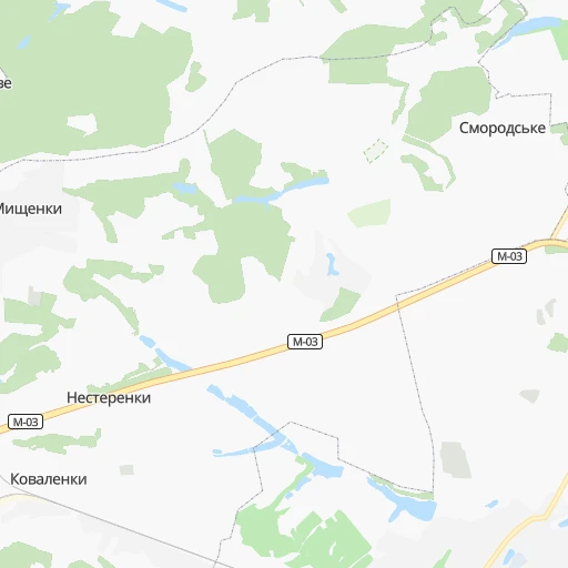
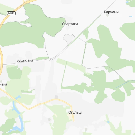
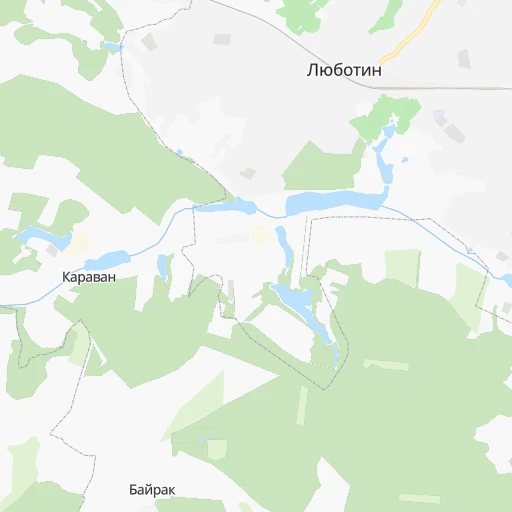
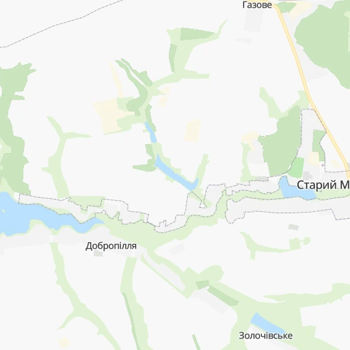
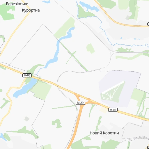
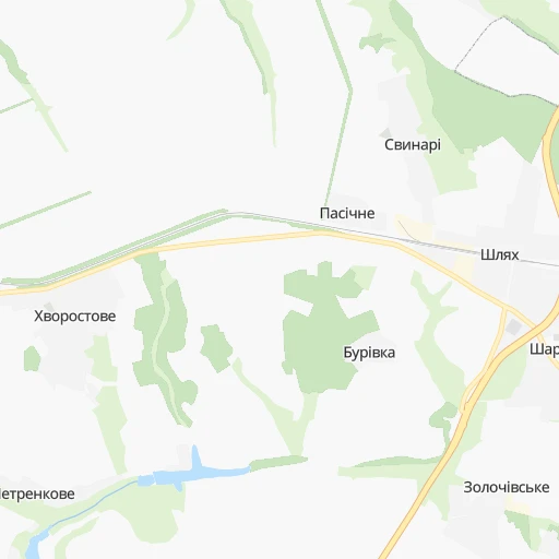
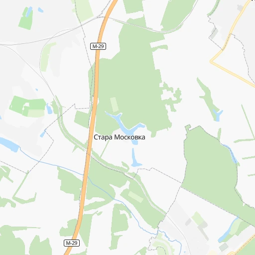
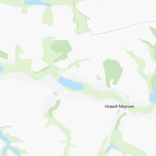
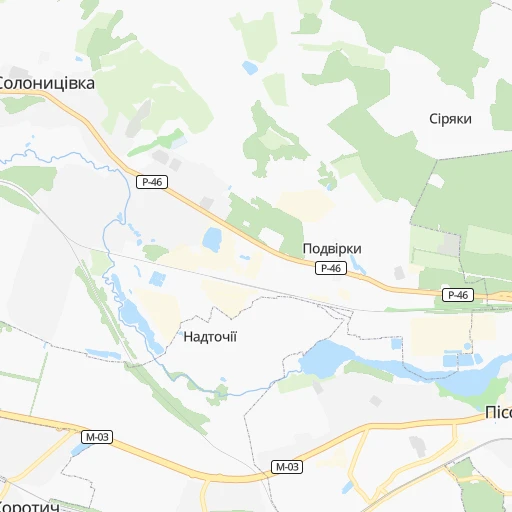
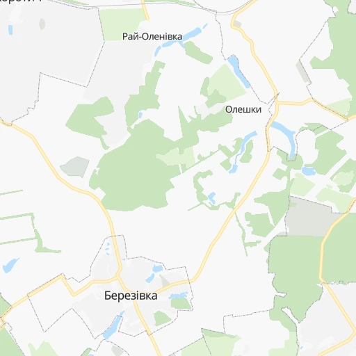
Roadmap (route) to go from Sovnarkomivs’ka to Balakliya detailed above, you can also see the course layout on the map.
While doing trip Sovnarkomivs’ka - Balakliya by car, the calculated route ends at a distance , or more straight.
Distance and duration of the route between Sovnarkomivs’ka and Balakliya
Calculation of distance and route from Balakliya to Sovnarkomivs’ka :
90.7115.8 km2h5mn
Continue 0h1mn 287 mKeep left 0h5mn 2.4 kmTurn left 0h2mn 1.0 kmTurn left onto Травнева вулиця 0h3mn 1.3 kmContinue onto Травнева вулиця 0h1mn 660 mTurn slight left onto Челюскіна вулиця 0h0mn 28 mTurn right onto Шевченка вулиця 0h2mn 966 mKeep right onto Шевченка вулиця 0h1mn 460 mKeep left onto Шевченка вулиця 0h1mn 465 mTurn left onto Тарасівська вулиця 0h1mn 420 mKeep right onto Світла вулиця 0h1mn 331 mKeep right onto Світла вулиця 0h0mn 183 mTurn right onto Дмитрівська вулиця 0h1mn 650 mTurn left onto Княжа вулиця 0h2mn 1.1 kmTurn right onto Городня вулиця 0h1mn 333 mTurn right 0h1mn 315 mKeep left 0h2mn 481 mKeep right 0h1mn 141 mTurn left 0h3mn 759 mTurn sharp right onto М-29 0h7mn 11.3 kmKeep right 0h0mn 86 mTurn slight right and drive toward Рокитне 0h0mn 291 mTurn right onto О-212145 0h1mn 819 mTurn left onto Центральна вулиця 0h4mn 3.4 kmTurn right onto Армійська вулиця 0h2mn 2.5 kmTurn sharp left onto М-18 0h5mn 5.5 kmTurn right onto Р-51 0h4mn 4.4 kmKeep left onto Т-21-01 0h23mn 21.8 kmTurn sharp right onto Таранівське шосе 0h0mn 33 mTurn left onto Лісна вулиця 0h1mn 712 mTurn left onto Поліська вулиця 0h0mn 239 mContinue onto Поліська вулиця 0h1mn 532 mTurn right onto вулиця Яворницького 0h0mn 71 mContinue onto Мальовничий провулок 0h0mn 91 mTurn sharp left onto Чумацький провулок 0h0mn 126 mTurn right onto Хлібосольний провулок 0h0mn 204 mTurn right onto Лиманська вулиця 1h45mn 49.3 kmTurn left onto Соборна вулиця 0h2mn 1.3 kmTurn right onto вулиця Грушевського 0h1mn 816 mTurn left onto Кооперативна вулиця 0h0mn 72 mTurn left onto вулиця Гуртових 0h0mn 18 mArrive at destination 0h0mn 0 m
Travel from Sovnarkomivs’ka (Kharkiv) to a selection of major cities.
Distances from Sovnarkomivs’ka to biggest cities in Kharkiv
Other major cities in country :
- Zhytomyr [27], 282,192 inhabitants. 513 km
- Horlivka [05], 278,550 inhabitants. 241 km
- Rivne [19], 255,106 inhabitants. 688 km
- Kropyvnytskyi [10], 249,454 inhabitants. 306 km
- Kamianske [04], 248,575 inhabitants. 184 km
- Chernivtsi [03], 236,250 inhabitants. 745 km
- Ternopil [22], 235,676 inhabitants. 739 km
- Kremenchuk [18], 227,494 inhabitants. 201 km
- Lutsk [24], 213,661 inhabitants. 751 km
- Ivano-Frankivsk [06], 204,200 inhabitants. 814 km
- Bila Tserkva [13], 199,163 inhabitants. 412 km
- Kramators'k [05], 173,700 inhabitants. 185 km
- Melitopol [26], 158,000 inhabitants. 347 km
- Kerch [11], 148,932 inhabitants. 514 km
- Nikopol [04], 130,500 inhabitants. 286 km
- Syevyerodonets'k [14], 130,000 inhabitants. 221 km
- Sloviansk [05], 124,800 inhabitants. 176 km
- Berdyansk [26], 118,284 inhabitants. 361 km
- Uzhgorod [25], 117,878 inhabitants. 994 km
- Alchevs'k [14], 116,000 inhabitants. 272 km
Route from Balakliya to major cities (Ukraine).
- Distance Balakliya Kyiv467 km
- Distance Balakliya Dnipro174 km
- Distance Balakliya Donetsk175 km
- Distance Balakliya Odessa564 km
- Distance Balakliya Zaporizhia220 km
- Distance Balakliya Lviv925 km
- Distance Balakliya Kryvyi Rih309 km
- Distance Balakliya Mykolayiv455 km
- Distance Balakliya Mariupol268 km
- Distance Balakliya Luhansk205 km
- Distance Balakliya Sevastopol599 km
- Distance Balakliya Khmelnytskyi713 km
- Distance Balakliya Makiyivka176 km
- Distance Balakliya Vinnytsia608 km
- Distance Balakliya Simferopol543 km
- Distance Balakliya Kherson444 km
- Distance Balakliya Poltava168 km
- Distance Balakliya Chernihiv455 km
- Distance Balakliya Cherkasy347 km
- Distance Balakliya Sumy219 km
Nearest cities to Sovnarkomivs’ka :
- Kharkiv, 1,430,885 inhabitants. 29 km
- Dnipro, 1,032,822 inhabitants. 176 km
- Donetsk, 1,024,700 inhabitants. 258 km
- Zaporizhia, 796,217 inhabitants. 242 km
- Kryvyi Rih, 652,380 inhabitants. 290 km
- Mariupol, 481,626 inhabitants. 342 km
- Makiyivka, 376,610 inhabitants. 261 km
- Poltava, 317,847 inhabitants. 102 km
- Sumy, 294,456 inhabitants. 131 km
- Horlivka, 278,550 inhabitants. 241 km
- Kamianske, 248,575 inhabitants. 184 km
- Kremenchuk, 227,494 inhabitants. 201 km
- Kramators'k, 173,700 inhabitants. 185 km
- Nikopol, 130,500 inhabitants. 286 km
- Syevyerodonets'k, 130,000 inhabitants. 221 km
- Sloviansk, 124,800 inhabitants. 176 km
- Alchevs'k, 116,000 inhabitants. 272 km
- Pavlohrad, 115,932 inhabitants. 158 km
- Lysychans'k, 111,600 inhabitants. 221 km
- Yenakiyeve, 104,101 inhabitants. 257 km
- Oleksandriya, 103,000 inhabitants. 244 km
- Konotop, 91,798 inhabitants. 236 km
- Kostyantynivka, 91,259 inhabitants. 208 km
- Shostka, 85,432 inhabitants. 270 km
- Kadiyivka, 84,425 inhabitants. 255 km
- Bakhmut, 80,500 inhabitants. 217 km
- Novomoskovs'k, 73,100 inhabitants. 153 km
- Shakhtars'k, 71,700 inhabitants. 283 km
- Pokrovsk, 68,263 inhabitants. 210 km
- Chystyakove, 68,037 inhabitants. 293 km
- Khartsyz'k, 64,000 inhabitants. 271 km
- Rubizhne, 62,993 inhabitants. 211 km
- Druzhkivka, 62,315 inhabitants. 192 km
- Lozova, 62,311 inhabitants. 123 km
- Energodar, 55,800 inhabitants. 287 km
- Snizhne, 55,587 inhabitants. 303 km
- Izyum, 53,778 inhabitants. 131 km
- Lubny, 52,600 inhabitants. 204 km
- Bryanka, 51,921 inhabitants. 260 km
- Horishni Plavni, 51,740 inhabitants. 191 km
- Zhovti Vody, 51,559 inhabitants. 247 km
- Marhanets', 50,443 inhabitants. 273 km
- Okhtyrka, 49,818 inhabitants. 79 km
- Myrnohrad, 49,646 inhabitants. 210 km
- Romny, 48,570 inhabitants. 191 km
- Svitlovods'k, 47,946 inhabitants. 214 km
- Toretsk, 41,758 inhabitants. 226 km
- Pervomays'k, 41,480 inhabitants. 245 km
- Myrhorod, 41,377 inhabitants. 160 km
- Kirovs'k, 40,000 inhabitants. 250 km
Location Sovnarkomivs’ka (Kharkiv) :
| Country flag |  |
| Location | Sovnarkomivs’ka |
| State | Kharkiv |
| County | |
| Country | Ukraine |
| Country code / ISO 2 | UA |
| Latitude | 49.9518700 |
| Longitude | 35.8488400 |
| Altitude | 0 meters |
| Time zone | Europe/Kiev |
Location Balakliya (Kharkiv) :
| Country flag | |
| Location | Balakliya |
| State | Kharkiv |
| County | |
| Country | Ukraine |
| Country code / ISO 2 | UA |
| Latitude | 49.4627000 |
| Longitude | 36.8595100 |
| Altitude | 0 meters |
| Time zone | Europe/Kiev |