


How to get from Sovnarkomivs’ka (Kharkiv) to Konotop (Sumy)
Calculate route from Sovnarkomivs’ka (Kharkiv, Ukraine) to Konotop (Sumy, Ukraine).
The flight distance (as the crow flies) between Sovnarkomivs’ka and Konotop is 235.2 km.
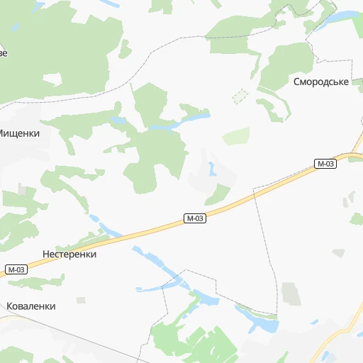
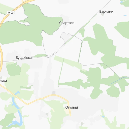
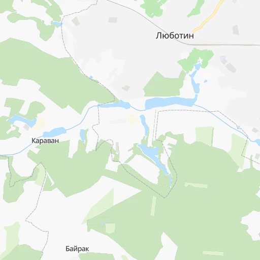
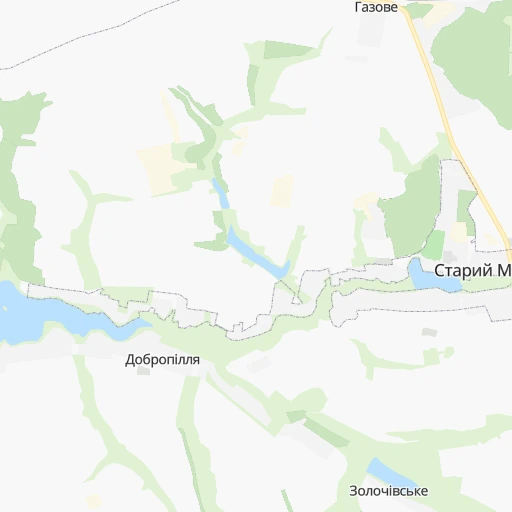
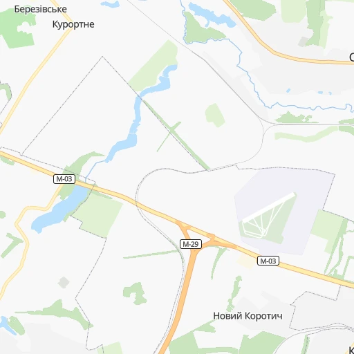
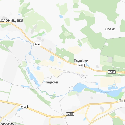
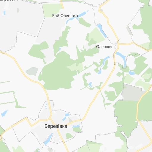
Roadmap (route) to go from Sovnarkomivs’ka to Konotop detailed above, you can also see the course layout on the map.
While doing trip Sovnarkomivs’ka - Konotop by car, the calculated route ends at a distance , or more straight.
Distance and duration of the route between Sovnarkomivs’ka and Konotop
Calculation of distance and route from Konotop to Sovnarkomivs’ka :
235.2291.3 km5h39mn
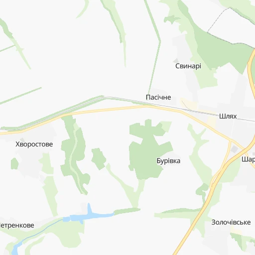
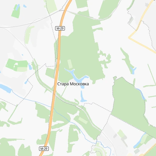
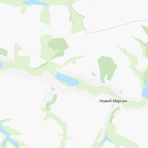
Continue 0h1mn 582 mTurn right 0h0mn 35 mTurn right 0h0mn 214 mContinue onto Травнева вулиця 0h3mn 1.3 kmKeep left 0h1mn 394 mTurn right 0h0mn 39 mTurn right onto М-03 0h0mn 54 mKeep left 0h0mn 25 mTurn left onto М-03 0h2mn 2.3 kmKeep right onto Т-21-06 and drive toward Мерчик, Красний Кут 0h0mn 61 mTurn slight right onto Т-21-06 0h25mn 25.6 kmTurn right onto О-210412 0h10mn 8.6 kmContinue onto Харківська вулиця 0h0mn 546 mTurn right onto Леонова вулиця 0h0mn 447 mTurn slight right onto Свято-Духівська площа 0h2mn 1.6 kmKeep left onto вулиця Захисників України 1h42mn 50.0 kmAt roundabout, take exit 1 onto Сумська вулиця 0h0mn 113 mContinue onto Сумська вулиця 0h12mn 13.4 kmTurn slight left onto Вознесенська вулиця 0h4mn 2.9 kmKeep left onto Благовіщенська вулиця 0h0mn 82 mKeep left 1h33mn 37.1 kmAt roundabout, take exit 1 onto Н-12 0h17mn 19.0 kmTurn slight right onto Іллінська вулиця 0h2mn 1.7 kmTurn right onto вулиця Степана Бандери 0h4mn 3.7 kmKeep left onto Р-61 2h53mn 118.6 kmAt roundabout, take exit 1 onto Р-61 0h1mn 881 mTurn right onto Р-61 0h0mn 288 mAt roundabout, take exit 2 onto вулиця Романа Шухевича 0h0mn 138 mTurn right onto Висока вулиця 0h0mn 93 mTurn left onto вулиця Осипенко 0h1mn 369 mTurn right onto вулиця Осипенко 0h1mn 306 mTurn right onto Депутатська вулиця 0h0mn 167 mTurn right onto проспект Миру 0h0mn 172 mTurn left onto вулиця Братів Лузанів 0h0mn 302 mAt roundabout, take exit 2 onto вулиця Миколи Амосова 0h0mn 185 mArrive at destination 0h0mn 0 m
Travel from Sovnarkomivs’ka (Sumy) to a selection of major cities.
Distances from Sovnarkomivs’ka to biggest cities in Kharkiv
Other major cities in country :
- Zhytomyr [27], 282,192 inhabitants. 513 km
- Horlivka [05], 278,550 inhabitants. 241 km
- Rivne [19], 255,106 inhabitants. 688 km
- Kropyvnytskyi [10], 249,454 inhabitants. 306 km
- Kamianske [04], 248,575 inhabitants. 184 km
- Chernivtsi [03], 236,250 inhabitants. 745 km
- Ternopil [22], 235,676 inhabitants. 739 km
- Kremenchuk [18], 227,494 inhabitants. 201 km
- Lutsk [24], 213,661 inhabitants. 751 km
- Ivano-Frankivsk [06], 204,200 inhabitants. 814 km
- Bila Tserkva [13], 199,163 inhabitants. 412 km
- Kramators'k [05], 173,700 inhabitants. 185 km
- Melitopol [26], 158,000 inhabitants. 347 km
- Kerch [11], 148,932 inhabitants. 514 km
- Nikopol [04], 130,500 inhabitants. 286 km
- Syevyerodonets'k [14], 130,000 inhabitants. 221 km
- Sloviansk [05], 124,800 inhabitants. 176 km
- Berdyansk [26], 118,284 inhabitants. 361 km
- Uzhgorod [25], 117,878 inhabitants. 994 km
- Alchevs'k [14], 116,000 inhabitants. 272 km
Route from Konotop to major cities (Ukraine).
- Distance Konotop Kyiv208 km
- Distance Konotop Kharkiv257 km
- Distance Konotop Dnipro336 km
- Distance Konotop Donetsk488 km
- Distance Konotop Odessa560 km
- Distance Konotop Zaporizhia407 km
- Distance Konotop Lviv667 km
- Distance Konotop Kryvyi Rih371 km
- Distance Konotop Mykolayiv484 km
- Distance Konotop Mariupol559 km
- Distance Konotop Luhansk530 km
- Distance Konotop Sevastopol741 km
- Distance Konotop Khmelnytskyi485 km
- Distance Konotop Makiyivka492 km
- Distance Konotop Vinnytsia404 km
- Distance Konotop Simferopol703 km
- Distance Konotop Kherson512 km
- Distance Konotop Poltava206 km
- Distance Konotop Chernihiv136 km
- Distance Konotop Cherkasy217 km
Nearest cities to Sovnarkomivs’ka :
- Kharkiv, 1,430,885 inhabitants. 29 km
- Dnipro, 1,032,822 inhabitants. 176 km
- Donetsk, 1,024,700 inhabitants. 258 km
- Zaporizhia, 796,217 inhabitants. 242 km
- Kryvyi Rih, 652,380 inhabitants. 290 km
- Mariupol, 481,626 inhabitants. 342 km
- Makiyivka, 376,610 inhabitants. 261 km
- Poltava, 317,847 inhabitants. 102 km
- Sumy, 294,456 inhabitants. 131 km
- Horlivka, 278,550 inhabitants. 241 km
- Kamianske, 248,575 inhabitants. 184 km
- Kremenchuk, 227,494 inhabitants. 201 km
- Kramators'k, 173,700 inhabitants. 185 km
- Nikopol, 130,500 inhabitants. 286 km
- Syevyerodonets'k, 130,000 inhabitants. 221 km
- Sloviansk, 124,800 inhabitants. 176 km
- Alchevs'k, 116,000 inhabitants. 272 km
- Pavlohrad, 115,932 inhabitants. 158 km
- Lysychans'k, 111,600 inhabitants. 221 km
- Yenakiyeve, 104,101 inhabitants. 257 km
- Oleksandriya, 103,000 inhabitants. 244 km
- Konotop, 91,798 inhabitants. 236 km
- Kostyantynivka, 91,259 inhabitants. 208 km
- Shostka, 85,432 inhabitants. 270 km
- Kadiyivka, 84,425 inhabitants. 255 km
- Bakhmut, 80,500 inhabitants. 217 km
- Novomoskovs'k, 73,100 inhabitants. 153 km
- Shakhtars'k, 71,700 inhabitants. 283 km
- Pokrovsk, 68,263 inhabitants. 210 km
- Chystyakove, 68,037 inhabitants. 293 km
- Khartsyz'k, 64,000 inhabitants. 271 km
- Rubizhne, 62,993 inhabitants. 211 km
- Druzhkivka, 62,315 inhabitants. 192 km
- Lozova, 62,311 inhabitants. 123 km
- Energodar, 55,800 inhabitants. 287 km
- Snizhne, 55,587 inhabitants. 303 km
- Izyum, 53,778 inhabitants. 131 km
- Lubny, 52,600 inhabitants. 204 km
- Bryanka, 51,921 inhabitants. 260 km
- Horishni Plavni, 51,740 inhabitants. 191 km
- Zhovti Vody, 51,559 inhabitants. 247 km
- Marhanets', 50,443 inhabitants. 273 km
- Okhtyrka, 49,818 inhabitants. 79 km
- Myrnohrad, 49,646 inhabitants. 210 km
- Romny, 48,570 inhabitants. 191 km
- Svitlovods'k, 47,946 inhabitants. 214 km
- Toretsk, 41,758 inhabitants. 226 km
- Pervomays'k, 41,480 inhabitants. 245 km
- Myrhorod, 41,377 inhabitants. 160 km
- Kirovs'k, 40,000 inhabitants. 250 km
Location Sovnarkomivs’ka (Kharkiv) :
| Country flag |  |
| Location | Sovnarkomivs’ka |
| State | Kharkiv |
| County | |
| Country | Ukraine |
| Country code / ISO 2 | UA |
| Latitude | 49.9518700 |
| Longitude | 35.8488400 |
| Altitude | 0 meters |
| Time zone | Europe/Kiev |
Location Konotop (Sumy) :
| Country flag | |
| Location | Konotop |
| State | Sumy |
| County | |
| Country | Ukraine |
| Country code / ISO 2 | UA |
| Latitude | 51.2403200 |
| Longitude | 33.2026300 |
| Altitude | 0 meters |
| Time zone | Europe/Kiev |