
How to get from Majori (Jūrmala) to Ventspils (Ventspils)
Calculate route from Majori (Jūrmala, Latvia) to Ventspils (Ventspils, Latvia).
The flight distance (as the crow flies) between Majori and Ventspils is 141.7 km.
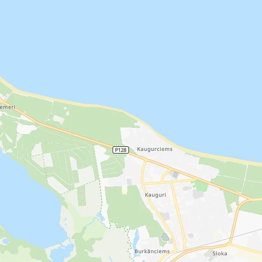
Roadmap (route) to go from Majori to Ventspils detailed above, you can also see the course layout on the map.
While doing trip Majori - Ventspils by car, the calculated route ends at a distance , or more straight.
Distance and duration of the route between Majori and Ventspils
Calculation of distance and route from Ventspils to Majori :
141.7165.5 km2h15mn
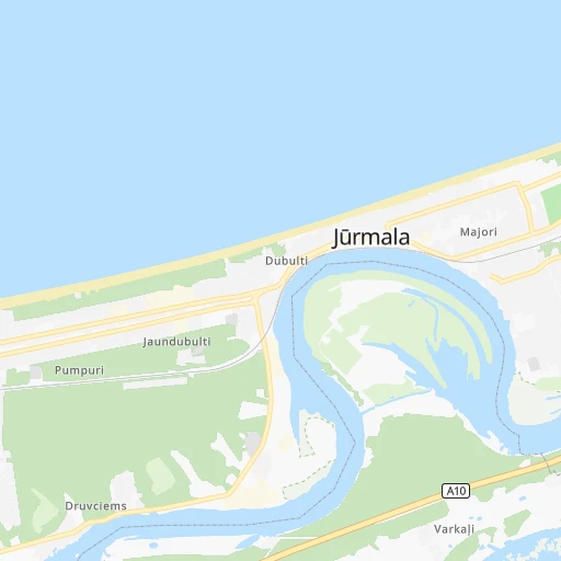
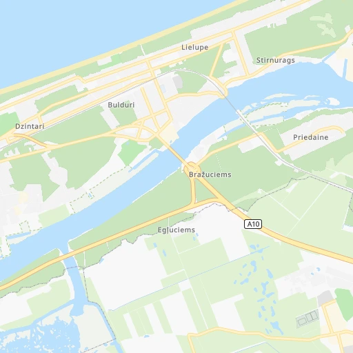
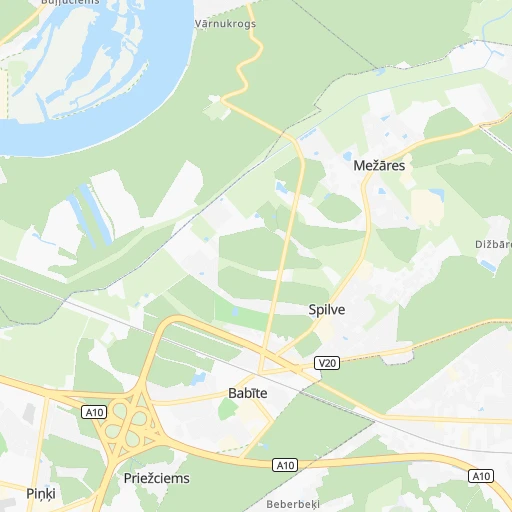
Continue 0h0mn 69 mTurn sharp left onto Lienes iela 0h0mn 107 mContinue onto Jomas iela 0h2mn 1.6 kmKeep right onto Dubultu prospekts 0h10mn 8.2 kmAt roundabout, take exit 2 onto Ventspils šoseja 0h6mn 4.7 kmTurn sharp right onto Brankciema iela 0h19mn 24.4 kmAt roundabout, take exit 2 0h4mn 5.5 kmAt roundabout, take exit 2 onto Rīga — Ventspils 1h28mn 115.6 kmAt roundabout, take exit 1 onto Kurzemes iela 0h2mn 2.6 kmTurn sharp right onto Embūtes iela 0h1mn 1.2 kmKeep right 0h0mn 85 mTurn slight right onto Ventas tilts 0h0mn 326 mKeep right 0h0mn 116 mTurn slight right onto Lielais prospekts 0h1mn 699 mTurn right onto Brīvības iela 0h0mn 152 mTurn left onto Jūras iela 0h0mn 36 mTurn left 0h1mn 141 mArrive at destination 0h0mn 0 m
Travel from Majori (Ventspils) to a selection of major cities.
Distances from Majori to biggest cities in Jūrmala
Other major cities in country :
Route from Ventspils to major cities (Latvia).
Nearest cities to Majori :
- Riga, 742,572 inhabitants. 19 km
- Daugavpils, 111,564 inhabitants. 208 km
- Liepaja, 85,132 inhabitants. 176 km
- Jelgava, 61,791 inhabitants. 36 km
- Jurmala, 54,088 inhabitants. 2 km
- Ventspils, 42,644 inhabitants. 142 km
- Jekabpils, 27,078 inhabitants. 136 km
- Valmiera, 26,963 inhabitants. 117 km
- Ogre, 26,760 inhabitants. 53 km
- Tukums, 18,348 inhabitants. 39 km
- Cesis, 18,198 inhabitants. 97 km
- Salaspils, 17,606 inhabitants. 37 km
- Bolderaja, 14,771 inhabitants. 17 km
- Kuldiga, 13,289 inhabitants. 112 km
- Olaine, 12,584 inhabitants. 21 km
- Saldus, 12,224 inhabitants. 87 km
- Talsi, 12,022 inhabitants. 79 km
- Dobele, 11,225 inhabitants. 50 km
- Bauska, 10,532 inhabitants. 67 km
- Sigulda, 10,422 inhabitants. 68 km
- Livani, 10,073 inhabitants. 161 km
- Daugavgriva, 9,952 inhabitants. 17 km
- Gulbene, 9,355 inhabitants. 180 km
- Madona, 9,280 inhabitants. 148 km
- Limbazi, 8,974 inhabitants. 82 km
- Aizkraukle, 8,840 inhabitants. 98 km
- Preili, 8,656 inhabitants. 194 km
- Karosta, 7,500 inhabitants. 176 km
- Krustpils, 6,680 inhabitants. 136 km
- Valka, 6,589 inhabitants. 160 km
- Smiltene, 6,108 inhabitants. 137 km
- Aizpute, 5,634 inhabitants. 136 km
- Lielvarde, 5,114 inhabitants. 68 km
- Kekava, 4,600 inhabitants. 31 km
- Mezaparks, 4,500 inhabitants. 22 km
- Grobina, 4,203 inhabitants. 168 km
- Vangazi, 4,020 inhabitants. 47 km
- Iecava, 4,000 inhabitants. 49 km
- Balozi, 3,854 inhabitants. 22 km
- Plavinas, 3,848 inhabitants. 124 km
- Rujiena, 3,638 inhabitants. 138 km
- Kandava, 3,592 inhabitants. 62 km
- Broceni, 3,486 inhabitants. 81 km
- Salacgriva, 3,427 inhabitants. 93 km
- Ozolnieki, 3,400 inhabitants. 31 km
- Ikskile, 3,368 inhabitants. 45 km
- Saulkrasti, 3,184 inhabitants. 49 km
- Auce, 3,125 inhabitants. 79 km
- Pinki, 3,033 inhabitants. 8 km
Location Majori (Jūrmala) :
| Country flag |  |
| Location | Majori |
| State | Jūrmala |
| County | Jūrmala |
| Country | Latvia |
| Country code / ISO 2 | LV |
| Latitude | 56.9714900 |
| Longitude | 23.7957400 |
| Altitude | 0 meters |
| Time zone | Europe/Riga |
Location Ventspils (Ventspils) :
| Country flag | |
| Location | Ventspils |
| State | Ventspils |
| County | Ventspils |
| Country | Latvia |
| Country code / ISO 2 | LV |
| Latitude | 57.3898800 |
| Longitude | 21.5728800 |
| Altitude | 0 meters |
| Time zone | Europe/Riga |


