

How to get from San Luis (Baja California) to Primo Tapia (Baja California)
Calculate route from San Luis (Baja California, Mexico) to Primo Tapia (Baja California, Mexico).
The flight distance (as the crow flies) between San Luis and Primo Tapia is 23.6 km.
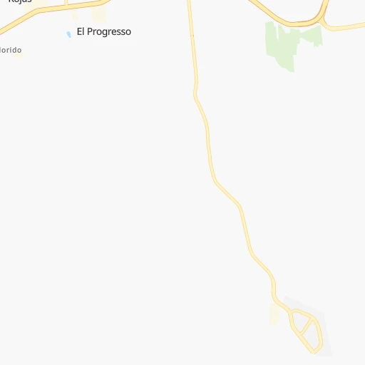
Roadmap (route) to go from San Luis to Primo Tapia detailed above, you can also see the course layout on the map.
While doing trip San Luis - Primo Tapia by car, the calculated route ends at a distance , or more straight.
Distance and duration of the route between San Luis and Primo Tapia
Calculation of distance and route from Primo Tapia to San Luis :
23.636.2 km0h27mn
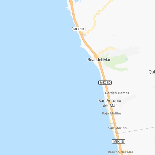
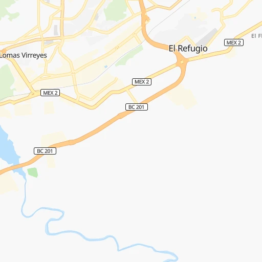
Continue onto Calle Miguel Ángel Cárdenas 0h2mn 1.4 kmTurn sharp right onto Boulevard Garcia 0h2mn 1.9 kmKeep left onto Boulevard García 0h13mn 18.6 kmMake a U-turn onto Corredor 2000 Tijuana-Rosarito 0h0mn 70 mKeep right toward MEX 1D 0h9mn 13.1 kmKeep right and drive toward Cantamar, Puerto Nuevo 0h0mn 152 mTurn right and drive toward Cantamar 0h0mn 19 mTurn sharp left onto Carretera Tijuana-Ensenada 0h1mn 665 mTurn left onto Calle Lázaro Cárdenas Del Río 0h0mn 291 mTurn right onto Privada Adolfo López Mateos 0h0mn 84 mArrive at destination 0h0mn 0 m
Travel from San Luis (Baja California) to a selection of major cities.
Distances from San Luis to biggest cities in Baja California
Other major cities in country :
- Acapulco de Juarez [12], 652,136 inhabitants. 2,439 km
- Coyoacan [09], 628,063 inhabitants. 2,295 km
- Santiago de Queretaro [22], 626,495 inhabitants. 2,107 km
- Saltillo [07], 621,250 inhabitants. 1,736 km
- Tlalpan [09], 607,545 inhabitants. 2,299 km
- Hermosillo [26], 595,811 inhabitants. 681 km
- Morelia [16], 592,797 inhabitants. 2,115 km
- Veracruz [30], 568,313 inhabitants. 2,546 km
- Cancun [23], 542,043 inhabitants. 3,229 km
- Santa Maria Chimalhuacan [15], 525,389 inhabitants. 2,306 km
- Torreon [07], 524,066 inhabitants. 1,523 km
- Cuauhtemoc [09], 521,348 inhabitants. 2,289 km
- Ciudad Lopez Mateos [15], 521,034 inhabitants. 2,272 km
- Toluca [15], 505,881 inhabitants. 2,262 km
- Reynosa [28], 498,654 inhabitants. 1,942 km
- Tlaquepaque [14], 493,646 inhabitants. 1,887 km
- Tuxtla [05], 481,128 inhabitants. 2,965 km
- Cuautitlan Izcalli [15], 475,179 inhabitants. 2,269 km
- Victoria de Durango [10], 457,140 inhabitants. 1,525 km
- Heroica Matamoros [28], 449,815 inhabitants. 2,023 km
Route from Primo Tapia to major cities (Mexico).
- Distance Primo Tapia Mexico City2,275 km
- Distance Primo Tapia Iztapalapa2,286 km
- Distance Primo Tapia Ecatepec de Morelos2,267 km
- Distance Primo Tapia Guadalajara1,860 km
- Distance Primo Tapia Puebla2,377 km
- Distance Primo Tapia Juarez988 km
- Distance Primo Tapia Ciudad Nezahualcoyotl2,286 km
- Distance Primo Tapia Gustavo Adolfo Madero2,272 km
- Distance Primo Tapia Monterrey1,771 km
- Distance Primo Tapia Leon de los Aldama1,951 km
- Distance Primo Tapia Zapopan1,856 km
- Distance Primo Tapia Naucalpan de Juarez2,263 km
- Distance Primo Tapia Chihuahua1,112 km
- Distance Primo Tapia Alvaro Obregon2,275 km
- Distance Primo Tapia Guadalupe1,776 km
- Distance Primo Tapia Merida2,980 km
- Distance Primo Tapia Tlalnepantla2,262 km
- Distance Primo Tapia San Luis Potosi1,932 km
- Distance Primo Tapia Culiacan1,245 km
- Distance Primo Tapia Aguascalientes1,848 km
Nearest cities to San Luis :
- Tijuana, 1,376,457 inhabitants. 9 km
- Mexicali, 597,099 inhabitants. 142 km
- Ensenada, 256,565 inhabitants. 71 km
- San Luis Rio Colorado, 139,254 inhabitants. 205 km
- Rosarito, 66,020 inhabitants. 12 km
- Tecate, 58,300 inhabitants. 34 km
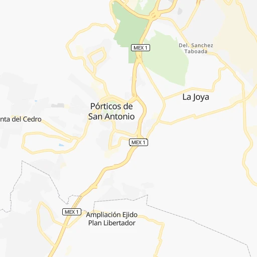
- Porticos de San Antonio, 34,234 inhabitants. 8 km
- Terrazas del Valle, 20,421 inhabitants. 13 km
- Guadalupe Victoria, 18,244 inhabitants. 175 km
- Villa del Prado 2da Seccion, 18,226 inhabitants. 2 km
- Rodolfo Sanchez Taboada, 17,861 inhabitants. 87 km
- Las Delicias, 15,486 inhabitants. 3 km
- San Felipe, 15,386 inhabitants. 254 km
- Villa del Campo, 13,906 inhabitants. 22 km
- Vicente Guerrero, 12,829 inhabitants. 210 km
- El Sauzal de Rodriguez, 9,085 inhabitants. 65 km
- El Nino, 8,999 inhabitants. 17 km
- Puebla, 8,700 inhabitants. 151 km
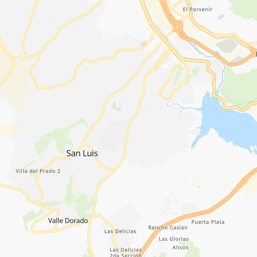
- San Luis, 8,571 inhabitants. 0 km
- Doctor Alberto Oviedo Mota, 8,064 inhabitants. 169 km
- Estacion Coahuila, 7,596 inhabitants. 186 km
- Camalu, 7,425 inhabitants. 196 km
- Maclovio Rojas, 7,279 inhabitants. 15 km
- Lomas de Santa Anita, 6,604 inhabitants. 31 km
- Benito Garcia (El Zorrillo), 6,598 inhabitants. 94 km
- Hermosillo, 6,399 inhabitants. 191 km
- Emiliano Zapata, 5,756 inhabitants. 207 km
- Quinta del Cedro, 5,704 inhabitants. 11 km
- Delta, 5,698 inhabitants. 165 km
- Ciudad Coahuila (Kilometro Cincuenta y Siete), 5,617 inhabitants. 185 km
- San Quintin, 5,433 inhabitants. 229 km
- Tecolots, 5,259 inhabitants. 186 km
- Progreso, 5,231 inhabitants. 130 km
- Primo Tapia, 5,039 inhabitants. 24 km
- Los Algodones, 4,874 inhabitants. 210 km
- Cereso del Hongo, 4,278 inhabitants. 66 km
- Colonia Lomas de San Ramon (Triquis), 3,805 inhabitants. 213 km
- Colonia Nueva Era, 3,256 inhabitants. 236 km
- Los Valles, 3,135 inhabitants. 4 km
Location San Luis (Baja California) :
| Country flag |  |
| Location | San Luis |
| State | Baja California |
| County | Tijuana |
| Country | Mexico |
| Country code / ISO 2 | MX |
| Latitude | 32.4316700 |
| Longitude | -116.9536100 |
| Altitude | 0 meters |
| Time zone | America/Tijuana |
Location Primo Tapia (Baja California) :
| Country flag | |
| Location | Primo Tapia |
| State | Baja California |
| County | Playas de Rosarito |
| Country | Mexico |
| Country code / ISO 2 | MX |
| Latitude | 32.2222600 |
| Longitude | -116.9139000 |
| Altitude | 0 meters |
| Time zone | America/Tijuana |


