
How to get from Ål (Buskerud) to Brumunddal (Hedmark)
Calculate route from Ål (Buskerud, Norway) to Brumunddal (Hedmark, Norway).
The flight distance (as the crow flies) between Ål and Brumunddal is 132.1 km.
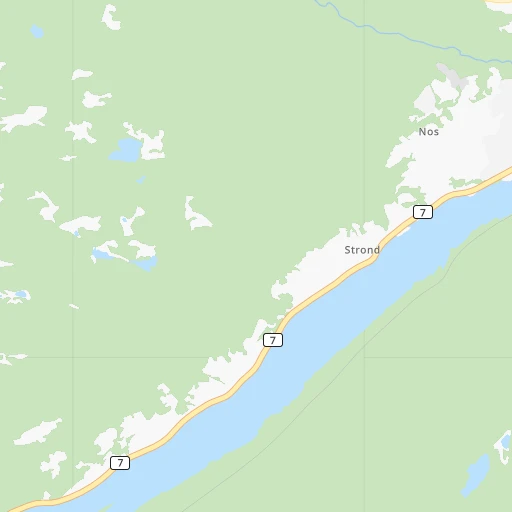
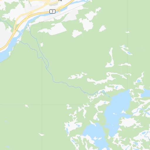
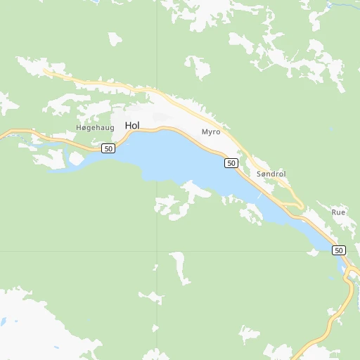
Roadmap (route) to go from Ål to Brumunddal detailed above, you can also see the course layout on the map.
While doing trip Ål - Brumunddal by car, the calculated route ends at a distance , or more straight.
Distance and duration of the route between Ål and Brumunddal
Calculation of distance and route from Brumunddal to Ål :
132.1179.6 km3h42mn
Continue 0h0mn 25 mTurn left onto Vestlivegen 0h0mn 61 mTurn slight right onto Stasjonsvegen 0h0mn 142 mTurn sharp right onto Helsetunvegen 0h0mn 187 mTurn right onto Helsetunvegen 0h0mn 43 mTurn left onto Storvegen 0h20mn 23.0 kmAt roundabout, take exit 2 onto Lauvrudvegen 0h1mn 1.0 kmTurn right onto Valdresvegen 1h32mn 36.8 kmTurn right onto Mønavegen 0h5mn 5.0 kmTurn right onto Vestringslinna 0h6mn 5.2 kmTurn right 0h0mn 103 mTurn right onto Raskebakkin 0h2mn 832 mTurn left 0h0mn 14 mTurn right onto Oslovegen 0h2mn 2.7 kmTurn left onto Tonsåslinna 0h0mn 10 mTurn slight left onto Tonsåslinna 1h32mn 38.0 kmTurn left onto Storgata 0h0mn 35 mTurn slight right onto Storgata 0h1mn 1.1 kmTurn left onto Lillehammervegen 0h1mn 679 mTurn right onto Østsinnilinna 0h0mn 23 mTurn right onto Østsinnilinna 0h2mn 1.4 kmTurn sharp left onto Østsinnilinna 0h16mn 17.7 kmTurn right 0h2mn 917 mTurn sharp left 0h4mn 1.9 kmTurn right onto Snertingdalsvegen 0h0mn 50 mTurn left onto Øverrovegen 0h7mn 7.8 kmTurn sharp left onto Øvre veg 0h10mn 9.9 kmTurn left onto Klundbyvegen 0h3mn 3.3 kmTurn right onto Hanssveavegen 0h1mn 1.5 kmTurn left onto Lillehammervegen 0h2mn 1.8 kmAt roundabout, take exit 1 onto E 6 0h11mn 16.5 kmKeep right onto E 6 0h0mn 267 mAt roundabout, take exit 3 onto 1774 0h0mn 186 mAt roundabout, take exit 1 onto Strandvegen 0h1mn 778 mTurn left onto Brennerivegen 0h1mn 534 mTurn right onto Gammelgata 0h0mn 27 mTurn left 0h0mn 11 mTurn right 0h0mn 8 mTurn left 0h0mn 11 mArrive at destination 0h0mn 0 m
Travel from Ål (Hedmark) to a selection of major cities.
Distances from Ål to biggest cities in Buskerud
Other major cities in country :
Route from Brumunddal to major cities (Norway).
- Distance Brumunddal Oslo108 km
- Distance Brumunddal Bergen311 km
- Distance Brumunddal Trondheim285 km
- Distance Brumunddal Stavanger360 km
- Distance Brumunddal Drammen133 km
- Distance Brumunddal Fredrikstad185 km
- Distance Brumunddal Kristiansand347 km
- Distance Brumunddal Sandnes368 km
- Distance Brumunddal Tromso1,043 km
- Distance Brumunddal Sarpsborg178 km
- Distance Brumunddal Skien200 km
Nearest cities to Ål :
- Oslo, 580,000 inhabitants. 144 km
- Trondheim, 147,139 inhabitants. 326 km
- Stavanger, 121,610 inhabitants. 243 km
- Drammen, 90,722 inhabitants. 134 km
- Fredrikstad, 72,760 inhabitants. 205 km
- Kristiansand, 63,814 inhabitants. 278 km
- Sandnes, 63,032 inhabitants. 253 km
- Sarpsborg, 52,159 inhabitants. 206 km
- Skien, 50,595 inhabitants. 168 km
- Alesund, 44,096 inhabitants. 242 km
- Sandefjord, 42,654 inhabitants. 190 km
- Tonsberg, 38,914 inhabitants. 183 km
- Moss, 34,492 inhabitants. 177 km
- Porsgrunn, 34,377 inhabitants. 176 km
- Arendal, 30,916 inhabitants. 241 km
- Hamar, 29,479 inhabitants. 138 km
- Larvik, 23,113 inhabitants. 194 km
- Halden, 21,970 inhabitants. 230 km
- Lillehammer, 19,096 inhabitants. 117 km
- Molde, 18,594 inhabitants. 246 km
- Kongsberg, 17,667 inhabitants. 122 km
- Horten, 17,660 inhabitants. 172 km
- Gjovik, 17,596 inhabitants. 117 km
- Kristiansund, 16,785 inhabitants. 280 km
- Lillestrom, 14,000 inhabitants. 156 km
- Honefoss, 13,678 inhabitants. 106 km
- Ski, 12,513 inhabitants. 161 km
- Askim, 12,482 inhabitants. 185 km
- Jessheim, 12,365 inhabitants. 154 km
- Stjordalshalsen, 11,416 inhabitants. 339 km
- Drobak, 11,363 inhabitants. 157 km
- Vennesla, 10,931 inhabitants. 265 km
- Nesoddtangen, 10,911 inhabitants. 144 km
- Mandal, 10,143 inhabitants. 296 km
- Grimstad, 9,561 inhabitants. 254 km
- Egersund, 9,502 inhabitants. 282 km
- Sogne, 9,000 inhabitants. 285 km
- Raholt, 8,593 inhabitants. 149 km
- Forde, 8,510 inhabitants. 172 km
- Brumunddal, 8,441 inhabitants. 132 km
- Notodden, 8,306 inhabitants. 125 km
- Bryne, 8,006 inhabitants. 267 km
- As, 7,961 inhabitants. 164 km
- Sogndal, 6,700 inhabitants. 104 km
- Fetsund, 6,441 inhabitants. 163 km
- Malvik, 6,419 inhabitants. 331 km
- Orsta, 6,337 inhabitants. 218 km
- Holmestrand, 6,135 inhabitants. 160 km
- Lillesand, 6,081 inhabitants. 265 km
- Raufoss, 6,052 inhabitants. 112 km
Location Ål (Buskerud) :
| Country flag |  |
| Location | Ål |
| State | Buskerud |
| County | Ål |
| Country | Norway |
| Country code / ISO 2 | NO |
| Latitude | 60.6263800 |
| Longitude | 8.5621400 |
| Altitude | 0 meters |
| Time zone | Europe/Oslo |
Location Brumunddal (Hedmark) :
| Country flag | |
| Location | Brumunddal |
| State | Hedmark |
| County | Ringsaker |
| Country | Norway |
| Country code / ISO 2 | NO |
| Latitude | 60.8809500 |
| Longitude | 10.9394800 |
| Altitude | 0 meters |
| Time zone | Europe/Oslo |