

How to get from Nesheim (Hordaland) to Indre Arna (Hordaland)
Calculate route from Nesheim (Hordaland, Norway) to Indre Arna (Hordaland, Norway).
The flight distance (as the crow flies) between Nesheim and Indre Arna is 68.7 km.
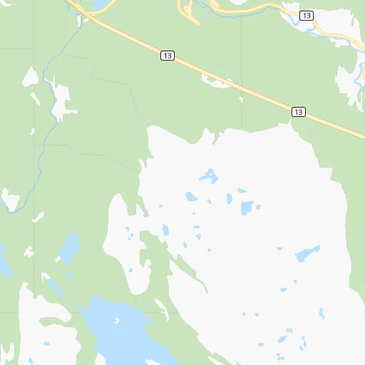
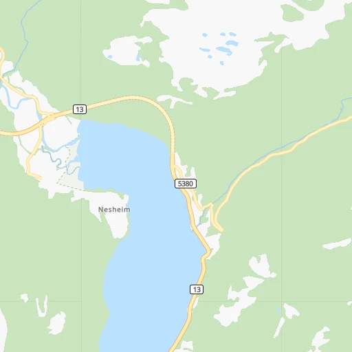
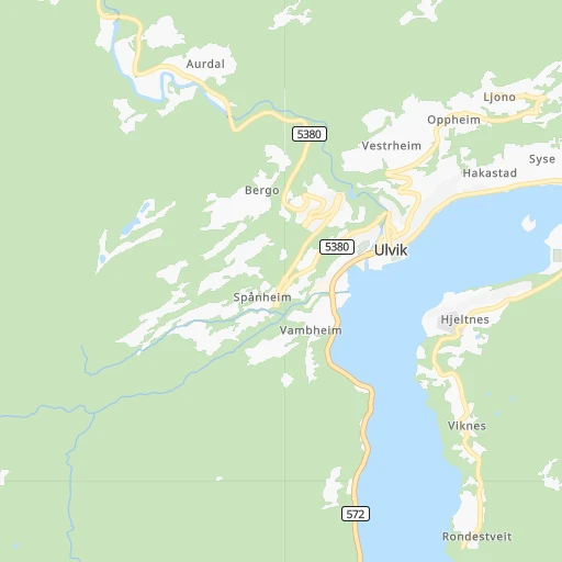
Roadmap (route) to go from Nesheim to Indre Arna detailed above, you can also see the course layout on the map.
While doing trip Nesheim - Indre Arna by car, the calculated route ends at a distance , or more straight.
Distance and duration of the route between Nesheim and Indre Arna
Calculation of distance and route from Indre Arna to Nesheim :
68.798.7 km2h31mn
Continue 0h0mn 159 mTurn right onto Nesheimsvegen 0h1mn 887 mTurn left onto Nesheimsvegen 0h0mn 137 mTurn left onto Skjervsvegen 0h0mn 47 mTurn right onto 13 0h10mn 12.2 kmKeep left onto Hardangervegen 0h4mn 4.4 kmTurn left onto Hardangervegen 0h4mn 2.4 kmContinue onto Evangervegen 0h1mn 719 mAt roundabout, take exit 2 onto Evangervegen 0h7mn 8.8 kmTurn right 0h0mn 15 mTurn left onto Flagavegen 0h3mn 3.7 kmTurn left onto Steinsvegen 0h0mn 265 mTurn left onto Steinsvegen 0h0mn 22 mTurn right onto Evangervegen 1h46mn 52.6 kmAt roundabout, take exit 2 onto Hardangervegen 0h6mn 6.7 kmContinue onto Takvamtunnelen 0h3mn 2.9 kmAt roundabout, take exit 1 onto Arnavegen 0h1mn 578 mAt roundabout, take exit 1 onto Ådnavegen 0h0mn 35 mTurn slight right onto Ådnavegen 0h1mn 601 mAt roundabout, take exit 2 onto Garnesvegen 0h1mn 588 mAt roundabout, take exit 1 onto Indre Arna-vegen 0h1mn 1.0 kmArrive at destination 0h0mn 0 m
Travel from Nesheim (Hordaland) to a selection of major cities.
Distances from Nesheim to biggest cities in Hordaland
Other major cities in country :
Route from Indre Arna to major cities (Norway).
- Distance Indre Arna Oslo297 km
- Distance Indre Arna Trondheim423 km
- Distance Indre Arna Stavanger162 km
- Distance Indre Arna Drammen273 km
- Distance Indre Arna Fredrikstad333 km
- Distance Indre Arna Kristiansand291 km
- Distance Indre Arna Sandnes175 km
- Distance Indre Arna Tromso1,201 km
- Distance Indre Arna Sarpsborg339 km
- Distance Indre Arna Skien268 km
Nearest cities to Nesheim :
- Bergen, 213,585 inhabitants. 77 km
- Stavanger, 121,610 inhabitants. 186 km
- Kristiansand, 63,814 inhabitants. 279 km
- Sandnes, 63,032 inhabitants. 198 km
- Skien, 50,595 inhabitants. 222 km
- Alesund, 44,096 inhabitants. 214 km
- Haugesund, 40,321 inhabitants. 151 km
- Porsgrunn, 34,377 inhabitants. 229 km
- Arendal, 30,916 inhabitants. 262 km
- Ytrebygda, 24,044 inhabitants. 83 km
- Molde, 18,594 inhabitants. 243 km
- Kongsberg, 17,667 inhabitants. 192 km
- Askoy, 17,224 inhabitants. 85 km
- Kristiansund, 16,785 inhabitants. 288 km
- Leirvik, 11,028 inhabitants. 109 km
- Vennesla, 10,931 inhabitants. 266 km
- Mandal, 10,143 inhabitants. 286 km
- Grimstad, 9,561 inhabitants. 270 km
- Egersund, 9,502 inhabitants. 239 km
- Sogne, 9,000 inhabitants. 282 km
- Forde, 8,510 inhabitants. 108 km
- Notodden, 8,306 inhabitants. 181 km
- Floro, 8,230 inhabitants. 146 km
- Bryne, 8,006 inhabitants. 212 km
- Saeveland, 7,736 inhabitants. 167 km
- Sogndal, 6,700 inhabitants. 77 km
- Kopervik, 6,507 inhabitants. 162 km
- Orsta, 6,337 inhabitants. 184 km
- Indre Arna, 6,117 inhabitants. 69 km
- Lillesand, 6,081 inhabitants. 275 km
- Tananger, 5,817 inhabitants. 192 km
- Hommersak, 5,692 inhabitants. 189 km
- Flekkefjord, 5,615 inhabitants. 253 km
- Voss, 5,571 inhabitants. 17 km
- Jorpeland, 5,537 inhabitants. 176 km
- Volda, 5,376 inhabitants. 179 km
- Odda, 5,359 inhabitants. 56 km
- Kragero, 5,158 inhabitants. 243 km
- Ulsteinvik, 5,103 inhabitants. 203 km
- Akrehamn, 5,018 inhabitants. 168 km
- Ulsteinvik weather pws station, 5,000 inhabitants. 203 km
- Fevik, 4,989 inhabitants. 268 km
- Naerbo, 4,975 inhabitants. 220 km
- Risor, 4,475 inhabitants. 250 km
- Sauda, 4,290 inhabitants. 104 km
- Knarvik, 4,265 inhabitants. 77 km
- Sunndalsora, 4,159 inhabitants. 255 km
- Nordstranda, 3,700 inhabitants. 219 km
- Lyngdal, 3,671 inhabitants. 271 km
- Hareid, 3,626 inhabitants. 204 km
Location Nesheim (Hordaland) :
| Country flag |  |
| Location | Nesheim |
| State | Hordaland |
| County | Granvin |
| Country | Norway |
| Country code / ISO 2 | NO |
| Latitude | 60.5656400 |
| Longitude | 6.6894900 |
| Altitude | 0 meters |
| Time zone | Europe/Oslo |
Location Indre Arna (Hordaland) :
| Country flag | |
| Location | Indre Arna |
| State | Hordaland |
| County | Bergen |
| Country | Norway |
| Country code / ISO 2 | NO |
| Latitude | 60.4176800 |
| Longitude | 5.4708700 |
| Altitude | 0 meters |
| Time zone | Europe/Oslo |

