
How to get from Pignon (airport) (Nord) to Pilate (Nord)
Calculate route from Pignon (airport) (Nord, Haiti) to Pilate (Nord, Haiti).
The flight distance (as the crow flies) between Pignon (airport) and Pilate is 59.4 km.
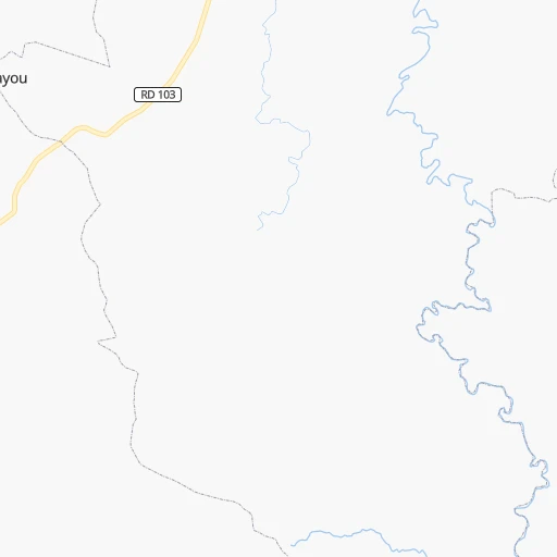
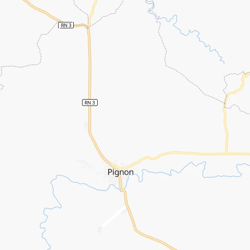
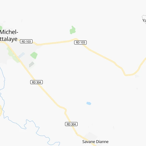
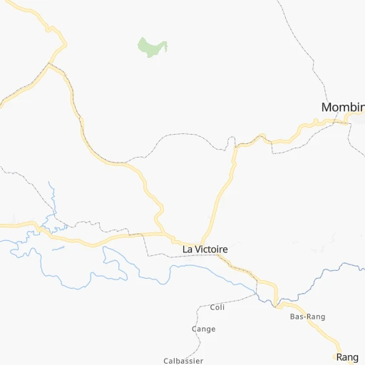
Roadmap (route) to go from Pignon Airport to Pilate detailed above, you can also see the course layout on the map.
While doing trip Pignon (airport) - Pilate by car, the calculated route ends at a distance , or more straight.
Distance and duration of the route between Pignon (airport) and Pilate
Calculation of distance and route from Pilate to Pignon (airport) :
59.492.2 km2h46mn
Continue onto Route de l'Aérodome 0h1mn 516 mTurn slight right onto Route de l'Aérodome 0h1mn 293 mTurn left onto Route Nationale # 3 0h17mn 17.4 kmTurn right onto Route Nationale # 3 0h11mn 12.1 kmTurn sharp left onto Route de Marmelade 0h3mn 3.3 kmTurn right onto Route de Marmelade 0h29mn 29.1 kmTurn sharp right onto RN 1 0h12mn 13.7 kmTurn left 0h1mn 506 mTurn left 0h2mn 896 mTurn right 0h29mn 14.5 kmTurn right 0h0mn 33 mArrive at destination 0h0mn 0 m
Travel from Pignon (airport) (Nord) to a selection of major cities.
Distances from Pignon Airport to biggest cities in Nord
Other major cities in country :
Route from Pilate to major cities (Haiti).
- Distance Pilate Port-au-Prince127 km
- Distance Pilate Carrefour126 km
- Distance Pilate Delmas 73128 km
- Distance Pilate Petionville132 km
- Distance Pilate Port-de-Paix42 km
- Distance Pilate Croix-des-Bouquets126 km
- Distance Pilate Jacmel160 km
- Distance Pilate Leogane129 km
- Distance Pilate Les Cayes207 km
- Distance Pilate Tigwav142 km
- Distance Pilate Jeremie200 km
- Distance Pilate Miragoane148 km
- Distance Pilate Gonayiv28 km
- Distance Pilate Saint-Marc64 km
- Distance Pilate Thomazeau123 km
Nearest cities to Pignon (airport) :
- Port-au-Prince, 1,234,742 inhabitants. 90 km
- Carrefour, 442,156 inhabitants. 92 km
- Delmas 73, 382,920 inhabitants. 89 km
- Petionville, 283,052 inhabitants. 92 km
- Port-de-Paix, 250,000 inhabitants. 102 km
- Croix-des-Bouquets, 229,127 inhabitants. 84 km
- Jacmel, 137,966 inhabitants. 129 km
- Okap, 134,815 inhabitants. 49 km
- Leogane, 134,190 inhabitants. 105 km
- Les Cayes, 125,799 inhabitants. 213 km
- Tigwav, 117,504 inhabitants. 127 km
- Jeremie, 97,503 inhabitants. 223 km
- Miragoane, 89,202 inhabitants. 141 km
- Gonayiv, 84,961 inhabitants. 61 km
- Saint-Marc, 66,226 inhabitants. 65 km
- Thomazeau, 52,017 inhabitants. 75 km
- Grangwav, 49,288 inhabitants. 121 km
- Verrettes, 48,724 inhabitants. 47 km
- Kenscoff, 42,175 inhabitants. 99 km
- Saint-Raphael, 37,739 inhabitants. 15 km
- Ti Port-de-Paix, 34,657 inhabitants. 101 km
- Lenbe, 32,645 inhabitants. 52 km
- Gressier, 25,947 inhabitants. 97 km
- Hinche, 18,590 inhabitants. 22 km
- Fond Parisien, 18,256 inhabitants. 92 km
- Desarmes, 15,594 inhabitants. 46 km
- Dessalines, 12,288 inhabitants. 42 km
- Saint-Louis du Nord, 11,849 inhabitants. 93 km
- Fort Liberte, 11,465 inhabitants. 48 km
- Trou du Nord, 10,569 inhabitants. 34 km
- Ouanaminthe, 10,118 inhabitants. 48 km
- Mirebalais, 9,082 inhabitants. 54 km
- Grande Riviere du Nord, 8,836 inhabitants. 29 km
- Les Anglais, 8,247 inhabitants. 249 km
- Lascahobas, 7,574 inhabitants. 58 km
- Cornillon, 7,572 inhabitants. 74 km
- Gros Morne, 7,294 inhabitants. 70 km
- Anse a Galets, 7,178 inhabitants. 96 km
- Pignon, 6,731 inhabitants. 2 km
- Dame-Marie, 6,036 inhabitants. 257 km
- Milot, 5,534 inhabitants. 33 km
- Jean-Rabel, 5,419 inhabitants. 127 km
- Aquin, 5,246 inhabitants. 178 km
- Mayisad, 5,204 inhabitants. 16 km
- Dondon, 5,029 inhabitants. 26 km
- Thomassique, 4,857 inhabitants. 40 km
- Anse Rouge, 4,437 inhabitants. 104 km
- Borgne, 4,288 inhabitants. 72 km
- Pilate, 4,227 inhabitants. 60 km
- Plaisance, 4,152 inhabitants. 48 km
Location Pignon (airport) (Nord) :
| Country flag |  |
| Location | Pignon (airport) |
| State | Nord |
| County | Arrondissement de Saint-Raphaël |
| Country | Haiti |
| Country code / ISO 2 | HT |
| Latitude | 19.3221600 |
| Longitude | -72.1189400 |
| Altitude | 0 meters |
| Time zone | America/Port-au-Prince |
Location Pilate (Nord) :
| Country flag | |
| Location | Pilate |
| State | Nord |
| County | Arrondissement de Plaisance |
| Country | Haiti |
| Country code / ISO 2 | HT |
| Latitude | 19.6674500 |
| Longitude | -72.5522900 |
| Altitude | 0 meters |
| Time zone | America/Port-au-Prince |