

How to get from Keekorok (airport) (Narok) to Mwingi (Kitui)
Calculate route from Keekorok (airport) (Narok, Kenya) to Mwingi (Kitui, Kenya).
The flight distance (as the crow flies) between Keekorok (airport) and Mwingi is 319.7 km.
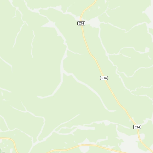
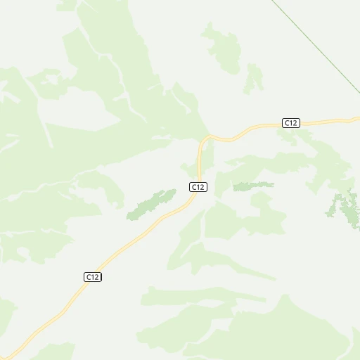
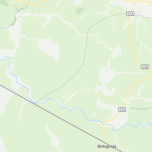
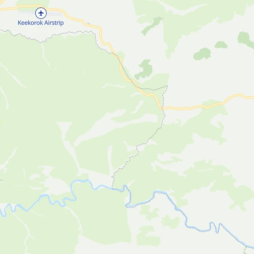
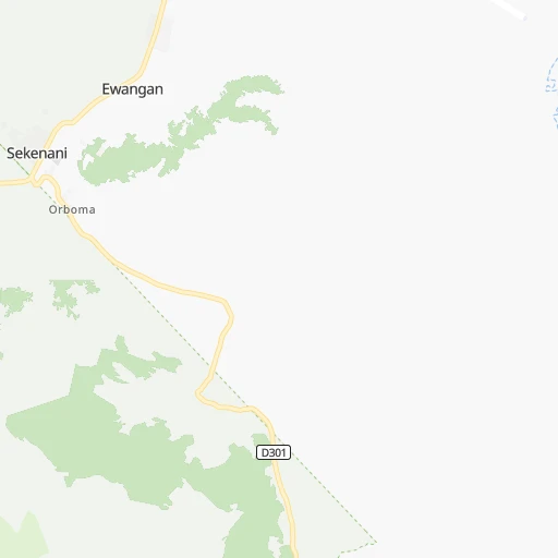
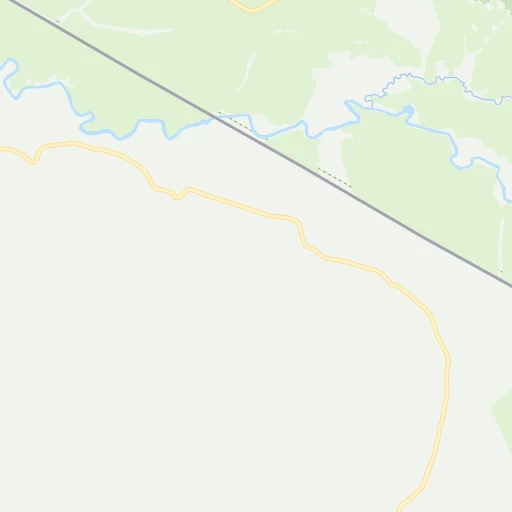
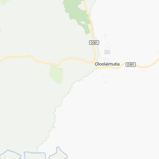
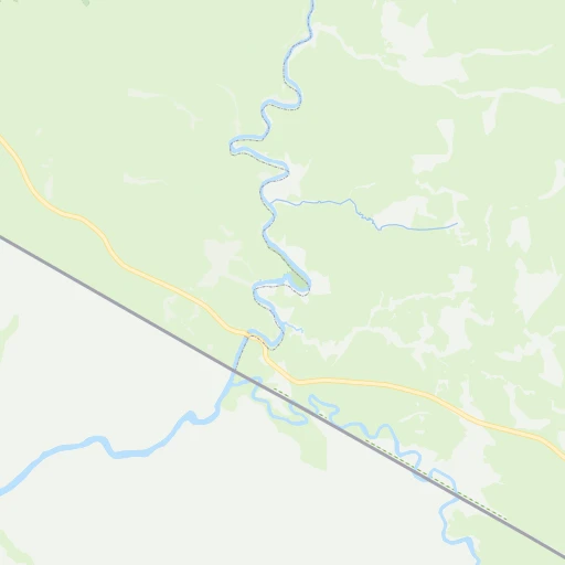
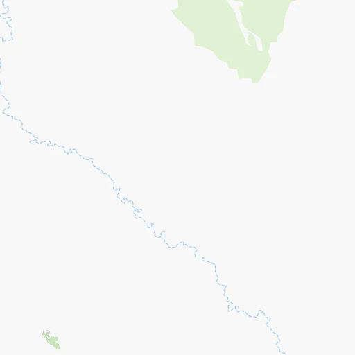
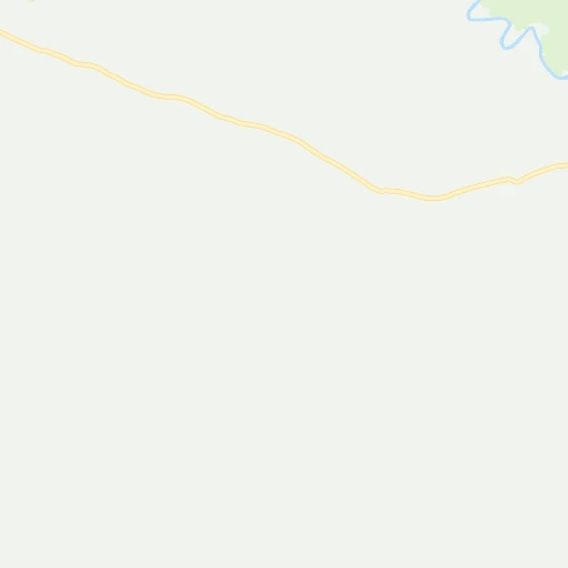
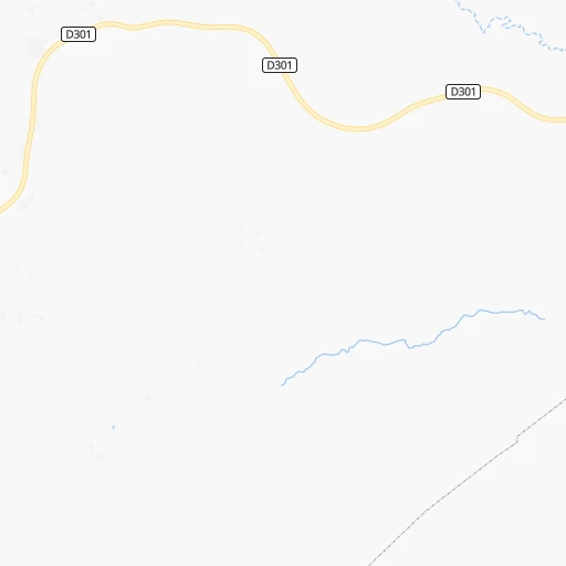
Roadmap (route) to go from Keekorok Airport to Mwingi detailed above, you can also see the course layout on the map.
While doing trip Keekorok (airport) - Mwingi by car, the calculated route ends at a distance , or more straight.
Distance and duration of the route between Keekorok (airport) and Mwingi
Calculation of distance and route from Mwingi to Keekorok (airport) :
319.7404.0 km6h6mn
Continue 0h0mn 174 mTurn left 0h4mn 1.9 kmKeep right 0h0mn 27 mTurn right onto C12 2h50mn 96.0 kmTurn right onto Kaplong-Narok-Maai Road 1h20mn 93.6 kmTurn right onto Limuru-Maimahiu Road 0h15mn 17.4 kmTurn left onto Thogoto-Thigio-Limuru Rd. 0h3mn 4.0 kmTurn left 0h0mn 228 mTurn left onto Kiambu-Limuru Rd. 0h7mn 8.3 kmKeep left 0h1mn 722 mTurn left onto Kiambu-Limuru Rd. 0h16mn 18.2 kmTurn left onto Ruiru-Kiambu Road 0h1mn 1.2 kmAt roundabout, take exit 2 onto Kamiti Road 0h0mn 62 mContinue onto Ruiru-Kiambu Road 0h5mn 5.0 kmTurn left onto Ruiru-Kamiti Road 0h9mn 9.7 kmAt roundabout, take exit 2 onto Ruiru Road 0h0mn 186 mContinue onto C559 0h0mn 23 mKeep left onto Thika Road 0h1mn 1.6 kmKeep right onto Thika Road 0h13mn 15.7 kmKeep left onto Garissa Road 0h1mn 986 mContinue onto Garissa Road 2h37mn 128.7 kmTurn right 0h0mn 102 mTurn left onto K.C.B-Kenya Power Road 0h1mn 360 mArrive at destination 0h0mn 0 m
Travel from Keekorok (airport) (Kitui) to a selection of major cities.
Distances from Keekorok Airport to biggest cities in Narok
Other major cities in country :
Route from Mwingi to major cities (Kenya).
- Distance Mwingi Nairobi144 km
- Distance Mwingi Mombasa390 km
- Distance Mwingi Nakuru232 km
- Distance Mwingi Eldoret350 km
- Distance Mwingi Kisumu379 km
- Distance Mwingi Thika111 km
- Distance Mwingi Malindi342 km
- Distance Mwingi Kitale403 km
- Distance Mwingi Garissa184 km
- Distance Mwingi Kakamega392 km
- Distance Mwingi Kapenguria408 km
- Distance Mwingi Bungoma424 km
- Distance Mwingi Busia466 km
- Distance Mwingi Nyeri136 km
Nearest cities to Keekorok (airport) :
- Nairobi, 2,750,547 inhabitants. 177 km
- Nakuru, 259,903 inhabitants. 169 km
- Eldoret, 218,446 inhabitants. 235 km
- Kisumu, 216,479 inhabitants. 174 km
- Thika, 200,000 inhabitants. 211 km
- Kitale, 75,123 inhabitants. 291 km
- Kakamega, 63,426 inhabitants. 216 km
- Kapenguria, 56,000 inhabitants. 315 km
- Bungoma, 55,962 inhabitants. 252 km
- Busia, 51,981 inhabitants. 261 km
- Nyeri, 51,084 inhabitants. 229 km
- Ol Kalou, 47,795 inhabitants. 192 km
- Meru, 47,226 inhabitants. 323 km
- Mumias, 45,485 inhabitants. 230 km
- Iten, 42,000 inhabitants. 253 km
- Lugulu, 40,894 inhabitants. 245 km
- Homa Bay, 40,319 inhabitants. 148 km
- Naivasha, 38,366 inhabitants. 163 km
- Nanyuki, 36,142 inhabitants. 270 km
- Narok, 36,061 inhabitants. 89 km
- Kericho, 35,748 inhabitants. 136 km
- Migori, 35,240 inhabitants. 105 km
- Embu, 34,922 inhabitants. 271 km
- Isiolo, 33,207 inhabitants. 337 km
- Nyahururu, 31,978 inhabitants. 219 km
- Machakos, 31,971 inhabitants. 224 km
- Rongai, 30,471 inhabitants. 171 km
- Pumwani, 29,616 inhabitants. 180 km
- Kisii, 28,547 inhabitants. 115 km
- Molo, 27,896 inhabitants. 158 km
- Kabarnet, 24,661 inhabitants. 238 km
- Athi River, 24,530 inhabitants. 192 km
- Webuye, 22,507 inhabitants. 249 km
- Karuri, 21,476 inhabitants. 236 km
- Kiambu, 21,234 inhabitants. 182 km
- Maralal, 20,841 inhabitants. 339 km
- Makueni Boma, 20,681 inhabitants. 265 km
- Kitui, 15,954 inhabitants. 307 km
- Siaya, 15,354 inhabitants. 213 km
- Kerugoya, 15,287 inhabitants. 256 km
- Muhoroni, 15,217 inhabitants. 160 km
- Magadi, 14,529 inhabitants. 120 km
- Taveta, 13,377 inhabitants. 337 km
- Kihancha, 13,162 inhabitants. 83 km
- Eldama Ravine, 12,524 inhabitants. 190 km
- Murang'a, 11,987 inhabitants. 232 km
- Mwingi, 11,219 inhabitants. 320 km
- Butere, 11,205 inhabitants. 217 km
- Kajiado, 11,198 inhabitants. 172 km
- Maua, 10,804 inhabitants. 361 km
Location Keekorok (airport) (Narok) :
| Country flag |  |
| Location | Keekorok (airport) |
| State | Narok |
| County | |
| Country | Kenya |
| Country code / ISO 2 | KE |
| Latitude | -1.5864200 |
| Longitude | 35.2568000 |
| Altitude | 0 meters |
| Time zone | Africa/Nairobi |
Location Mwingi (Kitui) :
| Country flag | |
| Location | Mwingi |
| State | Kitui |
| County | |
| Country | Kenya |
| Country code / ISO 2 | KE |
| Latitude | -0.9343500 |
| Longitude | 38.0600500 |
| Altitude | 0 meters |
| Time zone | Africa/Nairobi |