


How to get from Purnea (airport) (Bihar) to Bhātpāra (West Bengal)
Calculate route from Purnea (airport) (Bihar, India) to Bhātpāra (West Bengal, India).
The flight distance (as the crow flies) between Purnea (airport) and Bhātpāra is 337.1 km.
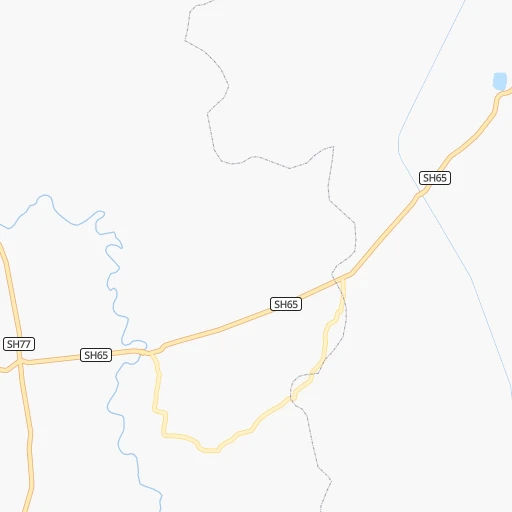
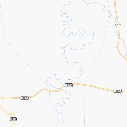
Roadmap (route) to go from Purnea Airport to Bhātpāra detailed above, you can also see the course layout on the map.
While doing trip Purnea (airport) - Bhātpāra by car, the calculated route ends at a distance , or more straight.
Distance and duration of the route between Purnea (airport) and Bhātpāra
Calculation of distance and route from Bhātpāra to Purnea (airport) :
337.1412.5 km7h32mn
Continue 0h3mn 991 mTurn left 0h2mn 629 mTurn right 0h2mn 1.2 kmTurn sharp right 0h1mn 998 mKeep left 0h1mn 534 mTurn left 0h2mn 854 mKeep right 0h3mn 1.7 kmTurn right 0h2mn 1.1 kmKeep left 0h3mn 1.5 kmTurn left onto NH231 0h2mn 2.9 kmKeep left onto NH231 0h1mn 1.5 kmTurn right onto NH131A 0h0mn 519 mTurn right onto NH131A 0h21mn 25.0 kmAt roundabout, take exit 1 onto NH31 0h1mn 899 mAt roundabout, take exit 3 onto NH31 0h16mn 18.9 kmKeep left 0h8mn 6.4 kmTurn left onto NH31 0h2mn 2.3 kmTurn right 0h16mn 17.5 kmKeep right 0h5mn 4.3 kmContinue 0h5mn 5.0 kmTurn slight left onto NH131A 0h6mn 6.7 kmKeep right onto NH131A 0h2mn 2.7 kmTurn left onto NH31 0h11mn 12.4 kmTurn sharp left 0h10mn 5.0 kmTurn left 0h2mn 872 mTurn right onto Chouduar Road 0h3mn 1.5 kmTurn sharp left 0h1mn 644 mTurn left 0h3mn 1.5 kmTurn slight left onto NH31 0h0mn 390 mTurn sharp right 0h21mn 20.5 kmTurn right onto NH12 0h25mn 28.6 kmTurn left 0h6mn 6.1 kmTurn left onto NH12 2h16mn 160.0 kmKeep left 0h1mn 700 mTurn left onto SH11 0h0mn 481 mContinue onto Ranaghat Bypass 0h22mn 24.7 kmKeep left onto Ranaghat Bypass 0h0mn 88 mTurn slight left onto NH12 0h1mn 998 mKeep right 0h6mn 6.9 kmTurn left 0h2mn 1.9 kmTurn right 0h1mn 1.2 kmTurn right 0h6mn 6.2 kmTurn left 0h1mn 550 mTurn right 0h0mn 327 mTurn left 0h1mn 1.6 kmTurn left 0h3mn 3.6 kmTurn slight left onto SH1 0h1mn 594 mKeep right onto Gayeshpur - Madanpur Road 0h4mn 3.1 kmTurn right 0h2mn 857 mTurn right 0h0mn 46 mTurn left 0h0mn 31 mTurn left onto Kalyani Road 0h0mn 27 mTurn right 0h2mn 964 mTurn right 0h0mn 165 mTurn left 0h2mn 1.9 kmContinue 0h1mn 1.3 kmTurn left onto Kalyani-Barrackpur expressway 0h1mn 1.7 kmTurn left 0h0mn 28 mKeep right 0h0mn 28 mTurn left 0h4mn 5.1 kmTurn sharp right onto TARAFDAR ROAD 0h2mn 1.5 kmTurn sharp left 0h0mn 13 mTurn right 0h0mn 38 mTurn left 0h0mn 147 mTurn sharp left 0h0mn 31 mTurn right 0h0mn 121 mContinue 0h0mn 27 mTurn left onto SH1 0h3mn 3.8 kmTurn sharp left 0h0mn 39 mTurn right 0h0mn 39 mArrive at destination 0h0mn 0 m
Travel from Purnea (airport) (West Bengal) to a selection of major cities.
Distances from Purnea Airport to biggest cities in Bihar
- Jamalpur,100,780 inhabitants.105 km
- Nawada,96,730 inhabitants.212 km
- Jahanabad,96,387 inhabitants.251 km
- Buxar,96,120 inhabitants.345 km
- Aurangabad,95,929 inhabitants.326 km
- Kishanganj,94,807 inhabitants.66 km
- Bagaha,91,383 inhabitants.274 km
- Luckeesarai,89,500 inhabitants.147 km
- Baruni,84,888 inhabitants.148 km
- Jamui,78,181 inhabitants.151 km
- Madhubani,71,582 inhabitants.149 km
- Araria,67,474 inhabitants.44 km
- Gopalganj,63,725 inhabitants.307 km
- Supaul,60,020 inhabitants.91 km
- Bangaon,60,000 inhabitants.91 km
- Samastipur,57,575 inhabitants.164 km
- Sitamarhi,57,095 inhabitants.213 km
- Mokameh,55,203 inhabitants.155 km
- Masaurhi Buzurg,53,440 inhabitants.243 km
- Khagaul,51,577 inhabitants.238 km
Other major cities in country :
- Gorakhpur [10], 1,324,570 inhabitants. 1,228 km
- Nashik [16], 1,289,497 inhabitants. 1,536 km
- Pimpri [16], 1,284,606 inhabitants. 1,610 km
- Kalyan [16], 1,262,255 inhabitants. 1,636 km
- Thane [16], 1,261,517 inhabitants. 1,654 km
- Meerut [36], 1,223,184 inhabitants. 1,023 km
- Nowrangapur [21], 1,220,946 inhabitants. 882 km
- Faridabad [10], 1,220,229 inhabitants. 1,043 km
- Ghaziabad [36], 1,199,191 inhabitants. 1,038 km
- Dombivli [16], 1,193,000 inhabitants. 1,642 km
- Rajkot [09], 1,177,362 inhabitants. 1,732 km
- Varanasi [36], 1,164,404 inhabitants. 445 km
- Amritsar [23], 1,092,450 inhabitants. 1,386 km
- Allahabad [36], 1,073,438 inhabitants. 560 km
- Visakhapatnam [02], 1,063,178 inhabitants. 999 km
- Teni [25], 1,034,724 inhabitants. 2,043 km
- Jabalpur [35], 1,030,168 inhabitants. 809 km
- Haora [28], 1,027,672 inhabitants. 366 km
- Aurangabad [16], 1,016,441 inhabitants. 1,400 km
- Shivaji Nagar [16], 1,000,000 inhabitants. 1,611 km
Route from Bhātpāra to major cities (India).
- Distance Bhātpāra Mumbai1,666 km
- Distance Bhātpāra Delhi1,291 km
- Distance Bhātpāra Bengaluru1,587 km
- Distance Bhātpāra Chennai1,386 km
- Distance Bhātpāra Ahmedabad1,620 km
- Distance Bhātpāra Hyderabad1,205 km
- Distance Bhātpāra Pune1,589 km
- Distance Bhātpāra Surat1,617 km
- Distance Bhātpāra Kanpur907 km
- Distance Bhātpāra Jaipur1,350 km
- Distance Bhātpāra Navi Mumbai1,654 km
- Distance Bhātpāra Lucknow875 km
- Distance Bhātpāra Nagpur980 km
- Distance Bhātpāra Indore1,290 km
- Distance Bhātpāra Patna449 km
- Distance Bhātpāra Bhopal1,127 km
- Distance Bhātpāra Ludhiana1,532 km
- Distance Bhātpāra Tirunelveli1,946 km
- Distance Bhātpāra Agra1,152 km
- Distance Bhātpāra Vadodara1,562 km
Nearest cities to Purnea (airport) :
- Patna, 1,599,920 inhabitants. 229 km
- Ranchi, 846,454 inhabitants. 343 km
- Jamshedpur, 616,338 inhabitants. 352 km
- Durgapur, 518,872 inhabitants. 250 km
- Shiliguri, 515,574 inhabitants. 147 km
- Asansol, 504,271 inhabitants. 235 km
- Bhatpara, 483,129 inhabitants. 338 km
- Shyamnagar, 441,956 inhabitants. 340 km
- Gaya, 423,692 inhabitants. 265 km
- Bokaro, 418,533 inhabitants. 264 km
- Bhagalpur, 361,548 inhabitants. 73 km
- Muzaffarpur, 333,200 inhabitants. 206 km
- Kulti, 305,405 inhabitants. 233 km
- Barddhaman, 301,725 inhabitants. 283 km
- Darbhanga, 287,150 inhabitants. 157 km
- Naihati, 253,221 inhabitants. 335 km
- Bihar Sharif, 244,230 inhabitants. 200 km
- Arrah, 223,676 inhabitants. 277 km
- Dhanbad, 219,636 inhabitants. 239 km
- Monghyr, 203,163 inhabitants. 103 km
- Chapra, 201,597 inhabitants. 267 km
- Purnia, 198,453 inhabitants. 7 km
- Katihar, 192,555 inhabitants. 30 km
- Chandannagar, 180,623 inhabitants. 337 km
- Baharampur, 180,547 inhabitants. 203 km
- Hugli, 177,005 inhabitants. 333 km
- Raiganj, 170,252 inhabitants. 74 km
- Ingraj Bazar, 170,039 inhabitants. 112 km
- Jamuria, 160,242 inhabitants. 231 km
- Jaigaon, 158,664 inhabitants. 230 km
- Dinapore, 152,940 inhabitants. 237 km
- Shantipur, 149,983 inhabitants. 299 km
- Barakpur, 148,174 inhabitants. 347 km
- Krishnanagar, 145,926 inhabitants. 284 km
- Saharsa, 145,764 inhabitants. 82 km
- Balurghat, 141,404 inhabitants. 150 km
- Hazaribagh, 140,063 inhabitants. 286 km
- Habra, 139,297 inhabitants. 349 km
- Kanchrapara, 136,954 inhabitants. 329 km
- Bankura, 133,966 inhabitants. 284 km
- Hajipur, 133,606 inhabitants. 221 km
- Raniganj, 131,261 inhabitants. 241 km
- Halisahar, 128,172 inhabitants. 331 km
- Bettiah, 127,008 inhabitants. 312 km
- Darjiling, 123,797 inhabitants. 165 km
- Puruliya, 122,533 inhabitants. 291 km
- Bhadreswar, 121,662 inhabitants. 340 km
- Baidyabati, 115,504 inhabitants. 344 km
- Mothihari, 112,144 inhabitants. 268 km
- Chas, 112,141 inhabitants. 268 km
Location Purnea (airport) (Bihar) :
| Country flag |  |
| Location | Purnea (airport) |
| State | Bihar |
| County | Purnia |
| Country | India |
| Country code / ISO 2 | IN |
| Latitude | 25.7622500 |
| Longitude | 87.4095400 |
| Altitude | 0 meters |
| Time zone | Asia/Kolkata |
Location Bhātpāra (West Bengal) :
| Country flag | |
| Location | Bhātpāra |
| State | West Bengal |
| County | North 24 Parganas |
| Country | India |
| Country code / ISO 2 | IN |
| Latitude | 22.8664300 |
| Longitude | 88.4011300 |
| Altitude | 0 meters |
| Time zone | Asia/Kolkata |


