
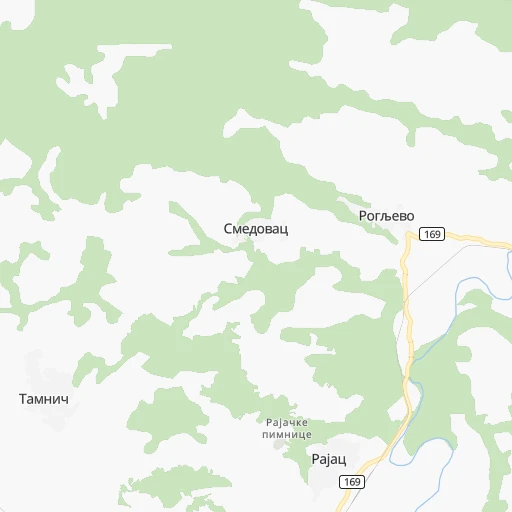
How to get from Železnička Stanica Rogljevo (Central Serbia) to Prokuplje (Central Serbia)
Calculate route from Železnička Stanica Rogljevo (Central Serbia, Serbia) to Prokuplje (Central Serbia, Serbia).
The flight distance (as the crow flies) between Železnička Stanica Rogljevo and Prokuplje is 126.0 km.
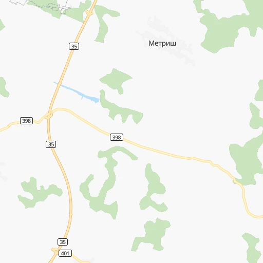
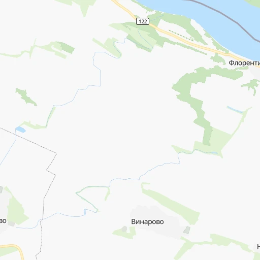
Roadmap (route) to go from Železnička Stanica Rogljevo to Prokuplje detailed above, you can also see the course layout on the map.
While doing trip Železnička Stanica Rogljevo - Prokuplje by car, the calculated route ends at a distance , or more straight.
Distance and duration of the route between Železnička Stanica Rogljevo and Prokuplje
Calculation of distance and route from Prokuplje to Železnička Stanica Rogljevo :
126.0170.3 km3h55mn
Continue 0h0mn 180 mTurn left 0h1mn 464 mTurn left onto 169 0h7mn 6.6 kmTurn right onto 169 0h8mn 7.5 kmTurn right onto Шипиково 0h1mn 540 mKeep right 0h0mn 98 mTurn slight right onto Шипиково 0h1mn 471 mTurn right onto Шипиково 0h10mn 9.9 kmTurn left onto Градсково 0h19mn 18.6 kmTurn sharp left onto Милоша Обилића and drive toward Knjaževac, Niš 0h2mn 1.8 kmAt roundabout, take exit 1 onto 35 0h21mn 22.9 kmTurn right 0h0mn 55 mTurn right onto 35 0h16mn 16.3 kmAt roundabout, take exit 2 onto 35 0h12mn 9.1 kmTurn left 0h0mn 129 mKeep right 0h0mn 69 mTurn sharp left onto 35 1h34mn 35.0 kmKeep right and drive toward Ниш / Niš 0h3mn 2.3 kmKeep right 0h0mn 383 mContinue onto Светог Ђорђа 0h9mn 7.4 kmAt roundabout, take exit 3 onto Булевар Николе Тесле 0h0mn 55 mTurn slight right 0h1mn 777 mContinue onto Синђелићев трг 0h0mn 250 mAt roundabout, take exit 1 onto Николе Пашића 0h1mn 635 mAt roundabout, take exit 3 onto Јована Ристића 0h2mn 2.3 kmAt roundabout, take exit 2 onto Димитрија Туцовића 0h1mn 748 mAt roundabout, take exit 2 onto Димитрија Туцовића 0h1mn 1.1 kmAt roundabout, take exit 2 onto Димитрија Туцовића 0h1mn 508 mAt roundabout, take exit 2 onto Димитрија Туцовића 0h0mn 476 mAt roundabout, take exit 3 0h9mn 8.7 kmKeep right onto Нишка 0h14mn 14.8 kmTurn right 0h0mn 57 mArrive at destination 0h0mn 0 m
Travel from Železnička Stanica Rogljevo (Central Serbia) to a selection of major cities.
Distances from Železnička Stanica Rogljevo to biggest cities in Central Serbia
- Prokuplje,27,673 inhabitants.126 km
- Smederevska Palanka,27,000 inhabitants.132 km
- Knjazevac,25,000 inhabitants.66 km
- Arangelovac,24,309 inhabitants.162 km
- Gornji Milanovac,23,982 inhabitants.169 km
- Lazarevac,23,551 inhabitants.187 km
- Sremcica,23,000 inhabitants.184 km
- Cuprija,20,585 inhabitants.99 km
Other major cities in country :
Route from Prokuplje to major cities (Serbia).
Nearest cities to Železnička Stanica Rogljevo :
- Belgrade, 1,273,651 inhabitants. 184 km
- Nis, 250,000 inhabitants. 103 km
- Novi Sad, 215,400 inhabitants. 251 km
- Zemun, 155,591 inhabitants. 191 km
- Kragujevac, 147,473 inhabitants. 133 km
- Cacak, 117,072 inhabitants. 180 km
- Subotica, 100,000 inhabitants. 318 km
- Leskovac, 94,758 inhabitants. 134 km
- Novi Pazar, 85,996 inhabitants. 199 km
- Kraljevo, 82,846 inhabitants. 157 km
- Zrenjanin, 79,773 inhabitants. 223 km
- Pancevo, 76,654 inhabitants. 175 km
- Krusevac, 75,256 inhabitants. 116 km
- Uzice, 63,577 inhabitants. 220 km
- Smederevo, 62,000 inhabitants. 144 km
- Valjevo, 61,035 inhabitants. 214 km
- Vranje, 56,199 inhabitants. 182 km
- Sabac, 55,114 inhabitants. 240 km
- Zajecar, 49,800 inhabitants. 34 km
- Trstenik, 49,043 inhabitants. 138 km
- Kikinda, 41,935 inhabitants. 253 km
- Pozarevac, 41,736 inhabitants. 124 km
- Pirot, 40,678 inhabitants. 107 km
- Bor, 39,387 inhabitants. 38 km
- Sremska Mitrovica, 39,084 inhabitants. 254 km
- Vrsac, 36,300 inhabitants. 150 km
- Jagodina, 35,589 inhabitants. 106 km
- Ruma, 32,229 inhabitants. 240 km
- Prokuplje, 27,673 inhabitants. 126 km
- Smederevska Palanka, 27,000 inhabitants. 132 km
- Ingija, 26,247 inhabitants. 223 km
- Vrbas, 25,907 inhabitants. 283 km
- Becej, 25,774 inhabitants. 261 km
- Knjazevac, 25,000 inhabitants. 66 km
- Arangelovac, 24,309 inhabitants. 162 km
- Gornji Milanovac, 23,982 inhabitants. 169 km
- Lazarevac, 23,551 inhabitants. 187 km
- Sremcica, 23,000 inhabitants. 184 km
- Cuprija, 20,585 inhabitants. 99 km
- Senta, 20,302 inhabitants. 281 km
- Negotin, 17,612 inhabitants. 13 km
- Obrenovac, 16,821 inhabitants. 198 km
- Stara Pazova, 16,217 inhabitants. 214 km
- Backa Topola, 16,154 inhabitants. 299 km
- Nova Pazova, 15,488 inhabitants. 208 km
- Kovin, 14,250 inhabitants. 145 km
- Petrovaradin, 13,917 inhabitants. 248 km
- Surcin, 12,575 inhabitants. 197 km
- Bela Crkva, 10,675 inhabitants. 126 km
- Veternik, 10,226 inhabitants. 256 km
Location Železnička Stanica Rogljevo (Central Serbia) :
| Country flag |  |
| Location | Železnička Stanica Rogljevo |
| State | Central Serbia |
| County | Bor |
| Country | Serbia |
| Country code / ISO 2 | RS |
| Latitude | 44.1158300 |
| Longitude | 22.5733300 |
| Altitude | 0 meters |
| Time zone | Europe/Belgrade |
Location Prokuplje (Central Serbia) :
| Country flag | |
| Location | Prokuplje |
| State | Central Serbia |
| County | Toplica |
| Country | Serbia |
| Country code / ISO 2 | RS |
| Latitude | 43.2341700 |
| Longitude | 21.5880600 |
| Altitude | 0 meters |
| Time zone | Europe/Belgrade |