
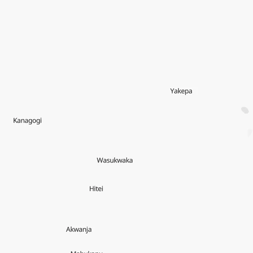

How to get from Yegepa (Morobe) to Ialibu (Southern Highlands)
Calculate route from Yegepa (Morobe, Papua New Guinea) to Ialibu (Southern Highlands, Papua New Guinea).
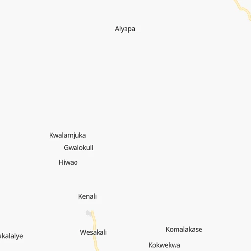
The flight distance (as the crow flies) between Yegepa and Ialibu is 256.1 km.
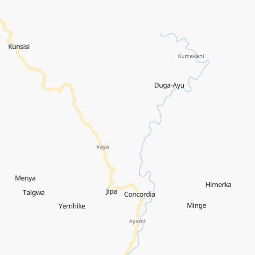
Roadmap (route) to go from Yegepa to Ialibu detailed above, you can also see the course layout on the map.
While doing trip Yegepa - Ialibu by car, the calculated route ends at a distance , or more straight.
Distance and duration of the route between Yegepa and Ialibu
Calculation of distance and route from Ialibu to Yegepa :
256.1766.8 km13h46mn
Continue 0h3mn 1.7 kmTurn left 0h19mn 9.5 kmTurn right 0h4mn 2.0 kmTurn right 0h1mn 624 mTurn slight left 0h12mn 5.9 kmTurn sharp left onto Menyamya Highway 2h45mn 94.9 kmTurn left 0h6mn 1.5 kmTurn sharp left 0h6mn 1.5 kmTurn left 0h2mn 421 mTurn right 0h14mn 3.8 kmKeep left 0h2mn 402 mTurn sharp left 0h3mn 761 mKeep right onto Road 25 0h9mn 2.3 kmTurn sharp left onto Wau-Bulolo Highway 2h32mn 101.6 kmTurn left 0h0mn 55 mTurn slight right 0h1mn 583 mTurn right 0h0mn 185 mTurn left onto Lae-Nadzab Highway 0h6mn 6.6 kmTurn slight left onto Lae-Nadzab Highway 4h1mn 278.2 kmAt roundabout, take exit 1 onto Highlands Highway 4h45mn 238.1 kmTurn left onto Ialibu Highway 0h16mn 15.7 kmTurn left onto Ialibu-Pangia Highway 0h0mn 257 mArrive at destination 0h0mn 0 m
Travel from Yegepa (Southern Highlands) to a selection of major cities.
Distances from Yegepa to biggest cities in Morobe
Other major cities in country :
Route from Ialibu to major cities (Papua New Guinea).
- Distance Ialibu Port Moresby497 km
- Distance Ialibu Lae334 km
Nearest cities to Yegepa :
- Port Moresby, 283,733 inhabitants. 281 km
- Lae, 76,255 inhabitants. 103 km
- Mount Hagen, 33,623 inhabitants. 255 km
- Popondetta, 28,198 inhabitants. 293 km
- Madang, 27,419 inhabitants. 217 km
- Mendi, 26,252 inhabitants. 297 km
- Goroka, 18,503 inhabitants. 144 km
- Bulolo, 16,042 inhabitants. 55 km
- Daru, 15,214 inhabitants. 390 km
- Wau, 14,629 inhabitants. 67 km
- Kundiawa, 9,383 inhabitants. 180 km
- Kainantu, 8,509 inhabitants. 99 km
- Ialibu, 6,915 inhabitants. 257 km
- Kokoda, 6,199 inhabitants. 261 km
- Kerema, 5,646 inhabitants. 101 km
- Wabag, 3,958 inhabitants. 325 km
Location Yegepa (Morobe) :
| Country flag |  |
| Location | Yegepa |
| State | Morobe |
| County | |
| Country | Papua New Guinea |
| Country code / ISO 2 | PG |
| Latitude | -7.1333300 |
| Longitude | 146.1500000 |
| Altitude | 0 meters |
| Time zone | Pacific/Port_Moresby |
Location Ialibu (Southern Highlands) :
| Country flag | |
| Location | Ialibu |
| State | Southern Highlands |
| County | |
| Country | Papua New Guinea |
| Country code / ISO 2 | PG |
| Latitude | -6.2820800 |
| Longitude | 143.9935400 |
| Altitude | 0 meters |
| Time zone | Pacific/Port_Moresby |