
How to get from Limon (Colón) to San Lorenzo (Valle)
Calculate route from Limon (Colón, Honduras) to San Lorenzo (Valle, Honduras).
The flight distance (as the crow flies) between Limon and San Lorenzo is 339.5 km.
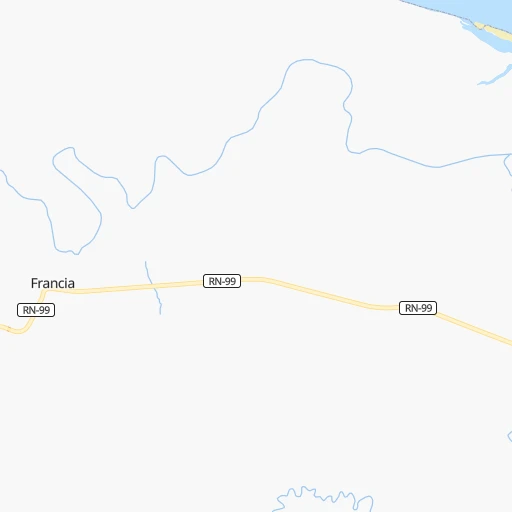
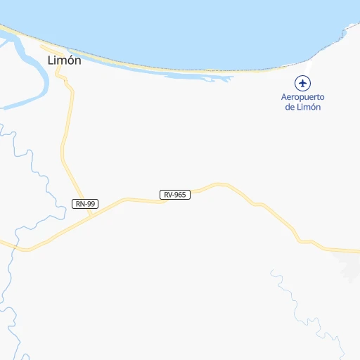
Roadmap (route) to go from Limon to San Lorenzo detailed above, you can also see the course layout on the map.
While doing trip Limon - San Lorenzo by car, the calculated route ends at a distance , or more straight.
Distance and duration of the route between Limon and San Lorenzo
Calculation of distance and route from San Lorenzo to Limon :
339.5496.5 km8h40mn
Continue 0h9mn 2.3 kmTurn right 0h17mn 8.4 kmTurn left 0h0mn 233 mTurn right onto RN-99 1h31mn 16.1 kmKeep left onto Avenida Central Sur 0h0mn 65 mTurn slight left onto RN-39 0h16mn 17.5 kmKeep right 0h1mn 299 mTurn right onto RN-39 2h26mn 162.6 kmTurn right onto Carretera a Olancho 0h18mn 19.5 kmKeep right onto Carretera a Olancho 1h13mn 103.1 kmTurn right 0h2mn 1.3 kmKeep right onto Carretera a Olancho 1h47mn 52.2 kmTurn left 0h0mn 76 mTurn right 0h0mn 144 mTurn right onto Cuesta el Chile 0h3mn 2.5 kmTurn right onto Calle La Concordia 0h1mn 565 mTurn slight right onto 6a Avenida 0h1mn 485 mTurn left onto 4a Calle 0h0mn 261 mTurn right onto 3a Avenida 0h6mn 6.9 kmKeep right and drive toward Choluteca, Danli, Valle de Angeles 0h1mn 1.4 kmKeep right and take CA-5 toward Choluteca, Zona Sur 0h0mn 444 mAt roundabout, take exit 2 onto Carretera del Sur 0h0mn 38 mTurn slight right onto Carretera del Sur 1h31mn 36.1 kmKeep right 0h1mn 251 mTurn right 0h0mn 105 mTurn left 0h0mn 48 mTurn right 0h1mn 410 mTurn left 0h1mn 358 mTurn sharp right onto Carretera del Sur 1h51mn 59.2 kmAt roundabout, take exit 2 onto Carretera Panamericana 0h2mn 2.6 kmAt roundabout, take exit 3 onto Carretera Panamericana 0h0mn 459 mTurn right onto Avenida Central Norte 0h1mn 614 mArrive at destination 0h0mn 0 m
Travel from Limon (Valle) to a selection of major cities.
Distances from Limon to biggest cities in Colón
Other major cities in country :
Route from San Lorenzo to major cities (Honduras).
Nearest cities to Limon :
- Tegucigalpa, 850,848 inhabitants. 267 km
- San Pedro Sula, 489,466 inhabitants. 268 km
- Choloma, 139,100 inhabitants. 259 km
- La Ceiba, 130,218 inhabitants. 133 km
- El Progreso, 100,810 inhabitants. 247 km
- Ciudad Choluteca, 75,872 inhabitants. 336 km
- Comayagua, 58,784 inhabitants. 274 km
- Puerto Cortez, 48,013 inhabitants. 255 km
- La Lima, 45,955 inhabitants. 258 km
- Danli, 44,799 inhabitants. 232 km
- Siguatepeque, 43,141 inhabitants. 283 km
- Juticalpa, 33,686 inhabitants. 152 km
- Villanueva, 31,571 inhabitants. 270 km
- Tocoa, 30,785 inhabitants. 52 km
- Tela, 29,325 inhabitants. 206 km
- Olanchito, 25,969 inhabitants. 118 km
- San Lorenzo, 22,289 inhabitants. 340 km
- Cofradia, 20,353 inhabitants. 284 km
- El Paraiso, 18,779 inhabitants. 247 km
- La Paz, 17,555 inhabitants. 286 km
- Yoro, 15,774 inhabitants. 188 km
- Potrerillos, 15,707 inhabitants. 269 km
- Santa Barbara, 15,119 inhabitants. 307 km
- Nacaome, 13,929 inhabitants. 333 km
- Intibuca, 13,741 inhabitants. 330 km
- Talanga, 13,492 inhabitants. 232 km
- Guaimaca, 12,899 inhabitants. 201 km
- Santa Rita, 12,869 inhabitants. 202 km
- Morazan, 11,076 inhabitants. 228 km
- Santa Cruz de Yojoa, 10,230 inhabitants. 271 km
- Marcala, 10,054 inhabitants. 328 km
- Saba, 9,666 inhabitants. 87 km
- Trujillo, 9,646 inhabitants. 44 km
- El Negrito, 9,303 inhabitants. 239 km
- Baracoa, 9,202 inhabitants. 247 km
- San Marcos de Colon, 8,821 inhabitants. 302 km
- Pimienta Vieja, 8,761 inhabitants. 269 km
- Agua Blanca Sur, 7,592 inhabitants. 259 km
- Coxen Hole, 7,514 inhabitants. 117 km
- Las Vegas, Santa Barbara, 7,487 inhabitants. 293 km
- El Triunfo, 7,182 inhabitants. 344 km
- Jesus de Otoro, 6,988 inhabitants. 303 km
- La Alianza, 6,923 inhabitants. 351 km
- Monjaras, 6,772 inhabitants. 356 km
- Campamento, 6,560 inhabitants. 188 km
- San Manuel, 6,389 inhabitants. 261 km
- Mezapa, 6,324 inhabitants. 227 km
- Las Trojes, 6,253 inhabitants. 206 km
- Villa de San Francisco, 5,914 inhabitants. 243 km
- San Juan Pueblo, 5,735 inhabitants. 183 km
Location Limon (Colón) :
| Country flag |  |
| Location | Limon |
| State | Colón |
| County | |
| Country | Honduras |
| Country code / ISO 2 | HN |
| Latitude | 15.8667000 |
| Longitude | -85.5500000 |
| Altitude | 0 meters |
| Time zone | America/Tegucigalpa |
Location San Lorenzo (Valle) :
| Country flag | |
| Location | San Lorenzo |
| State | Valle |
| County | |
| Country | Honduras |
| Country code / ISO 2 | HN |
| Latitude | 13.4241700 |
| Longitude | -87.4472200 |
| Altitude | 0 meters |
| Time zone | America/Tegucigalpa |