
How to get from Coyoles (Yoro) to La Lima (Cortés)
Calculate route from Coyoles (Yoro, Honduras) to La Lima (Cortés, Honduras).
The flight distance (as the crow flies) between Coyoles and La Lima is 133.0 km.
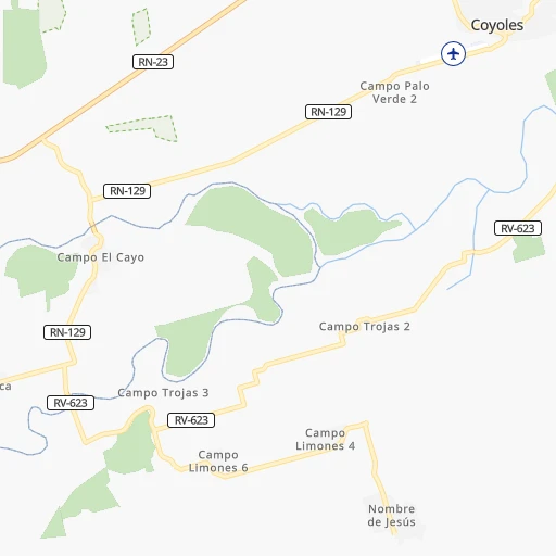
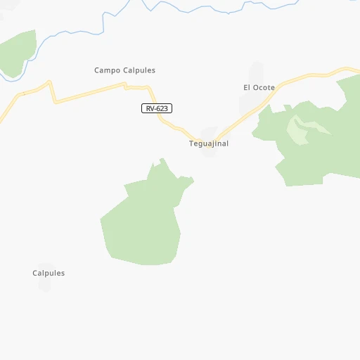
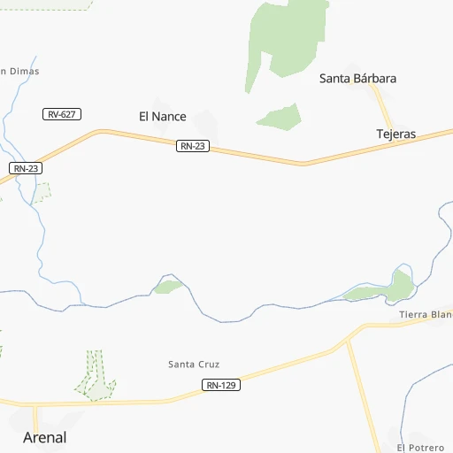
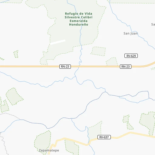
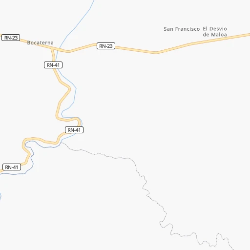
Roadmap (route) to go from Coyoles to La Lima detailed above, you can also see the course layout on the map.
While doing trip Coyoles - La Lima by car, the calculated route ends at a distance , or more straight.
Distance and duration of the route between Coyoles and La Lima
Calculation of distance and route from La Lima to Coyoles :
133.0200.1 km4h58mn
Continue onto RN-129 0h14mn 6.8 kmTurn right onto Carretera a Arenal 0h1mn 1.4 kmTurn sharp left onto Carretera Yoro - Olanchito 1h38mn 34.3 kmTurn right 0h12mn 6.2 kmKeep right 0h0mn 200 mTurn right 0h4mn 1.8 kmKeep left 0h0mn 54 mTurn left 0h20mn 9.9 kmTurn slight left 0h2mn 807 mTurn right onto Carretera Yoro - Olanchito 1h60mn 71.2 kmKeep right 0h2mn 942 mTurn slight right onto Carretera Santa Rita - Yoro 0h23mn 25.6 kmTurn right onto Avenida Central Sur 0h2mn 2.3 kmTurn left onto 1a Calle NO 0h1mn 470 mTurn right 0h0mn 113 mTurn left onto 2a Calle NO 0h0mn 11 mTurn right onto 5a Avenida NO 0h0mn 96 mTurn left onto 3a Calle NO 1h39mn 19.7 kmTurn left 0h0mn 115 mTurn right 0h0mn 38 mTurn left 0h0mn 87 mTurn right 0h0mn 50 mTurn left 0h0mn 44 mKeep right 0h1mn 510 mTurn right 0h0mn 19 mTurn left 0h1mn 726 mTurn slight left 0h0mn 190 mTurn right 0h0mn 36 mTurn left 0h0mn 105 mTurn right 0h0mn 51 mTurn right onto 1a Avenida 0h3mn 3.2 kmTurn left onto Boulevard Elena Kullman 0h10mn 11.6 kmTurn right 0h1mn 423 mTurn left 0h0mn 85 mKeep right 0h0mn 45 mTurn right 0h1mn 601 mTurn right 0h0mn 82 mTurn left 0h0mn 212 mArrive at destination 0h0mn 0 m
Travel from Coyoles (Cortés) to a selection of major cities.
Distances from Coyoles to biggest cities in Yoro
Other major cities in country :
Route from La Lima to major cities (Honduras).
Nearest cities to Coyoles :
- Tegucigalpa, 850,848 inhabitants. 162 km
- San Pedro Sula, 489,466 inhabitants. 145 km
- Choloma, 139,100 inhabitants. 138 km
- La Ceiba, 130,218 inhabitants. 37 km
- El Progreso, 100,810 inhabitants. 121 km
- Ciudad Choluteca, 75,872 inhabitants. 245 km
- Comayagua, 58,784 inhabitants. 152 km
- Puerto Cortez, 48,013 inhabitants. 141 km
- La Lima, 45,955 inhabitants. 133 km
- Danli, 44,799 inhabitants. 158 km
- Siguatepeque, 43,141 inhabitants. 156 km
- Juticalpa, 33,686 inhabitants. 100 km
- Villanueva, 31,571 inhabitants. 143 km
- Tocoa, 30,785 inhabitants. 77 km
- Tela, 29,325 inhabitants. 92 km
- Santa Rosa de Copan, 27,753 inhabitants. 238 km
- Olanchito, 25,969 inhabitants. 12 km
- San Lorenzo, 22,289 inhabitants. 240 km
- Cofradia, 20,353 inhabitants. 158 km
- El Paraiso, 18,779 inhabitants. 176 km
- La Paz, 17,555 inhabitants. 166 km
- Yoro, 15,774 inhabitants. 60 km
- Potrerillos, 15,707 inhabitants. 141 km
- Santa Barbara, 15,119 inhabitants. 178 km
- La Entrada, 14,705 inhabitants. 225 km
- Nacaome, 13,929 inhabitants. 230 km
- Intibuca, 13,741 inhabitants. 204 km
- Talanga, 13,492 inhabitants. 124 km
- Guaimaca, 12,899 inhabitants. 103 km
- Santa Rita, 12,869 inhabitants. 72 km
- Morazan, 11,076 inhabitants. 100 km
- Santa Cruz de Yojoa, 10,230 inhabitants. 141 km
- Marcala, 10,054 inhabitants. 205 km
- Saba, 9,666 inhabitants. 46 km
- Trujillo, 9,646 inhabitants. 93 km
- El Negrito, 9,303 inhabitants. 111 km
- Baracoa, 9,202 inhabitants. 131 km
- San Marcos de Colon, 8,821 inhabitants. 224 km
- Nueva Ocotepeque, 8,780 inhabitants. 292 km
- Pimienta Vieja, 8,761 inhabitants. 141 km
- Gracias, 7,909 inhabitants. 226 km
- Agua Blanca Sur, 7,592 inhabitants. 132 km
- Coxen Hole, 7,514 inhabitants. 98 km
- Las Vegas, Santa Barbara, 7,487 inhabitants. 163 km
- El Triunfo, 7,182 inhabitants. 262 km
- Jesus de Otoro, 6,988 inhabitants. 177 km
- La Alianza, 6,923 inhabitants. 243 km
- Monjaras, 6,772 inhabitants. 261 km
- Campamento, 6,560 inhabitants. 100 km
- San Manuel, 6,389 inhabitants. 134 km
Location Coyoles (Yoro) :
| Country flag |  |
| Location | Coyoles |
| State | Yoro |
| County | |
| Country | Honduras |
| Country code / ISO 2 | HN |
| Latitude | 15.4460000 |
| Longitude | -86.6750000 |
| Altitude | 0 meters |
| Time zone | America/Tegucigalpa |
Location La Lima (Cortés) :
| Country flag | |
| Location | La Lima |
| State | Cortés |
| County | |
| Country | Honduras |
| Country code / ISO 2 | HN |
| Latitude | 15.4333300 |
| Longitude | -87.9166700 |
| Altitude | 0 meters |
| Time zone | America/Tegucigalpa |
