


Home
››
Les Clairières-de-Verneuil Railway Station
››
Roadmap from Les Clairières-de-Verneuil Railway Station to Levallois-Perret
How to get from Les Clairières-de-Verneuil Railway Station (Île-de-France) to Levallois-Perret (Île-de-France)
Calculate route from Les Clairières-de-Verneuil Railway Station (Île-de-France, France) to Levallois-Perret (Île-de-France, France).
The flight distance (as the crow flies) between Les Clairières-de-Verneuil Railway Station and Levallois-Perret is 26.7 km.
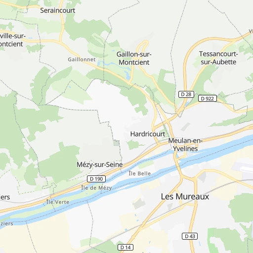
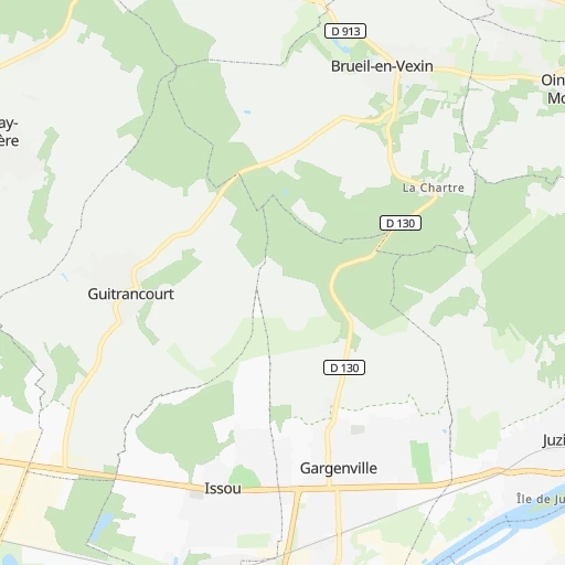
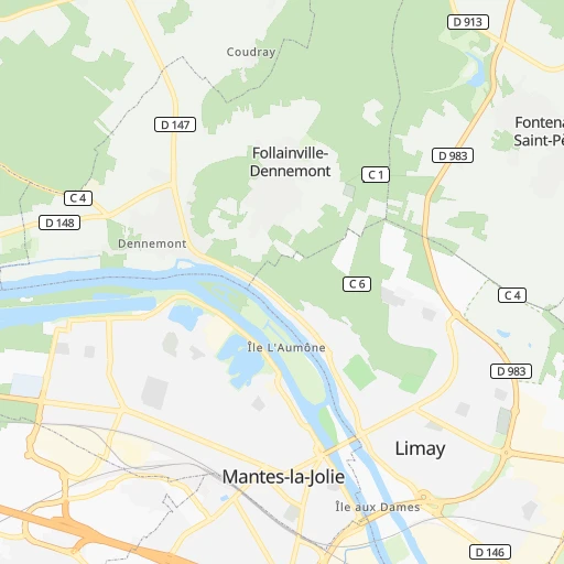
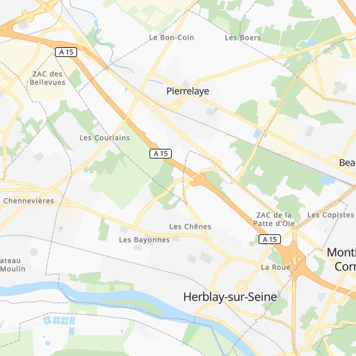
Roadmap (route) to go from Les Clairières-de-Verneuil Railway Station to Levallois-Perret detailed above, you can also see the course layout on the map.
While doing trip Les Clairières-de-Verneuil Railway Station - Levallois-Perret by car, the calculated route ends at a distance , or more straight.
Distance and duration of the route between Les Clairières-de-Verneuil Railway Station and Levallois-Perret
Calculation of distance and route from Levallois-Perret to Les Clairières-de-Verneuil Railway Station :
26.733.6 km1h33mn
Continue 0h0mn 11 mTurn left 0h0mn 47 mTurn right 0h0mn 76 mAt roundabout, take exit 1 onto Avenue Marguerite Gilles 0h1mn 261 mTurn left onto Allée des Princes 0h1mn 706 mTurn right 0h0mn 24 mTurn left onto Route de Meulan 0h0mn 340 mAt roundabout, take exit 2 onto Boulevard André Malraux 0h1mn 1.1 kmAt roundabout, take exit 2 onto Boulevard Georges Clemenceau 0h0mn 371 mAt roundabout, take exit 2 onto Boulevard de l'Europe 0h1mn 1.2 kmAt roundabout, take exit 2 onto D 154 0h0mn 259 mAt roundabout, take exit 3 onto D 164 0h4mn 3.2 kmContinue onto Rue de la Côte Saint-Jean 0h1mn 341 mAt roundabout, take exit 3 onto Chemin des Groux 0h1mn 984 mTurn right onto Avenue du Général de Gaulle 0h0mn 84 mTurn sharp right onto D 153 0h0mn 441 mAt roundabout, take exit 3 onto Route de Quarante Sous 0h1mn 1.5 kmAt roundabout, take exit 3 onto Route de Quarante Sous 0h14mn 19.5 kmKeep right onto Avenue Charles de Gaulle and drive toward Neuilly centre, Bois de Boulogne 0h1mn 363 mAt roundabout, take exit 2 onto Rue du Château 0h0mn 228 mTurn slight right onto Place du Général Gouraud 0h2mn 1.4 kmContinue onto Rue Paul Vaillant-Couturier 0h1mn 474 mTurn right onto Rue Anatole France 0h0mn 410 mTurn left onto Rue Voltaire 0h1mn 333 mTurn left onto Rue du Président Wilson 0h0mn 8 mArrive at destination 0h0mn 0 m
Travel from Les Clairières-de-Verneuil Railway Station (Île-de-France) to a selection of major cities.
Distances from Les Clairières-de-Verneuil Railway Station to biggest cities in Île-de-France
- Noisy-le-Grand,62,420 inhabitants.47 km
- Levallois-Perret,62,178 inhabitants.27 km
- Issy-les-Moulineaux,61,447 inhabitants.30 km
- Neuilly-sur-Seine,61,300 inhabitants.26 km
- Antony,59,845 inhabitants.37 km
- Sarcelles,57,979 inhabitants.31 km
- Ivry-sur-Seine,57,897 inhabitants.37 km
- Cergy,57,576 inhabitants.10 km
- Clichy,57,467 inhabitants.28 km
- Sartrouville,53,980 inhabitants.18 km
- Maisons-Alfort,53,964 inhabitants.41 km
- Meaux,53,811 inhabitants.68 km
- Pantin,52,922 inhabitants.35 km
- Fontenay-sous-Bois,52,075 inhabitants.42 km
- Evry,51,900 inhabitants.54 km
- Clamart,51,400 inhabitants.31 km
- Bondy,48,268 inhabitants.40 km
- Le Blanc-Mesnil,48,077 inhabitants.38 km
- Villejuif,48,048 inhabitants.37 km
- Sevran,47,334 inhabitants.42 km
Other major cities in country :
- Le Mans [52], 144,515 inhabitants. 170 km
- Amiens [32], 143,086 inhabitants. 104 km
- Tours [24], 141,621 inhabitants. 201 km
- Limoges [75], 141,176 inhabitants. 356 km
- Clermont-Ferrand [84], 138,681 inhabitants. 368 km
- Villeurbanne [84], 131,445 inhabitants. 421 km
- Besancon [27], 128,426 inhabitants. 359 km
- Orleans [24], 124,149 inhabitants. 121 km
- Metz [44], 123,914 inhabitants. 308 km
- Rouen [28], 112,787 inhabitants. 80 km
- Mulhouse [44], 111,430 inhabitants. 421 km
- Perpignan [76], 110,706 inhabitants. 705 km
- Caen [28], 110,624 inhabitants. 170 km
- Nancy [44], 105,334 inhabitants. 312 km
- Roubaix [32], 95,721 inhabitants. 209 km
- Tourcoing [32], 91,574 inhabitants. 211 km
- Avignon [93], 89,769 inhabitants. 603 km
- Marseille 13 [93], 89,316 inhabitants. 685 km
- Poitiers [75], 85,960 inhabitants. 294 km
- Pau [75], 82,697 inhabitants. 658 km
Route from Levallois-Perret to major cities (France).
- Distance Levallois-Perret Marseille667 km
- Distance Levallois-Perret Lyon400 km
- Distance Levallois-Perret Toulouse592 km
- Distance Levallois-Perret Nice693 km
- Distance Levallois-Perret Nantes341 km
- Distance Levallois-Perret Strasbourg402 km
- Distance Levallois-Perret Montpellier601 km
- Distance Levallois-Perret Bordeaux501 km
- Distance Levallois-Perret Lille201 km
- Distance Levallois-Perret Rennes305 km
- Distance Levallois-Perret Reims133 km
- Distance Levallois-Perret Le Havre172 km
- Distance Levallois-Perret Saint-Etienne417 km
- Distance Levallois-Perret Toulon701 km
- Distance Levallois-Perret Angers263 km
- Distance Levallois-Perret Grenoble489 km
- Distance Levallois-Perret Dijon268 km
- Distance Levallois-Perret Nimes585 km
- Distance Levallois-Perret Aix-en-Provence645 km
- Distance Levallois-Perret Brest501 km
Nearest cities to Les Clairières-de-Verneuil Railway Station :
- Paris, 2,138,551 inhabitants. 33 km
- Lille, 228,328 inhabitants. 199 km
- Reims, 196,565 inhabitants. 154 km
- Le Havre, 185,972 inhabitants. 145 km
- Cergy-Pontoise, 183,430 inhabitants. 10 km
- Angers, 168,279 inhabitants. 251 km
- Saint-Quentin-en-Yvelines, 146,598 inhabitants. 25 km
- Le Mans, 144,515 inhabitants. 170 km
- Amiens, 143,086 inhabitants. 104 km
- Tours, 141,621 inhabitants. 201 km
- Orleans, 124,149 inhabitants. 121 km
- Rouen, 112,787 inhabitants. 80 km
- Caen, 110,624 inhabitants. 170 km
- Boulogne-Billancourt, 108,782 inhabitants. 28 km
- Argenteuil, 101,475 inhabitants. 22 km
- Saint-Denis, 96,128 inhabitants. 31 km
- Roubaix, 95,721 inhabitants. 209 km
- Tourcoing, 91,574 inhabitants. 211 km
- Montreuil, 90,652 inhabitants. 38 km
- Asnieres-sur-Seine, 86,742 inhabitants. 25 km
- Nanterre, 86,719 inhabitants. 22 km
- Poitiers, 85,960 inhabitants. 294 km
- Versailles, 85,416 inhabitants. 25 km
- Courbevoie, 85,158 inhabitants. 25 km
- Creteil, 84,833 inhabitants. 44 km
- Colombes, 82,300 inhabitants. 23 km
- Vitry-sur-Seine, 81,001 inhabitants. 40 km
- Aulnay-sous-Bois, 80,615 inhabitants. 40 km
- Champigny-sur-Marne, 76,726 inhabitants. 44 km
- Rueil-Malmaison, 76,616 inhabitants. 22 km
- Saint-Maur-des-Fosses, 75,402 inhabitants. 45 km
- Calais, 74,433 inhabitants. 218 km
- Dunkerque, 71,287 inhabitants. 229 km
- Aubervilliers, 70,914 inhabitants. 32 km
- Bourges, 67,987 inhabitants. 215 km
- Drancy, 62,488 inhabitants. 37 km
- Noisy-le-Grand, 62,420 inhabitants. 47 km
- Villeneuve-d'Ascq, 62,400 inhabitants. 201 km
- Levallois-Perret, 62,178 inhabitants. 27 km
- Issy-les-Moulineaux, 61,447 inhabitants. 30 km
- Neuilly-sur-Seine, 61,300 inhabitants. 26 km
- Troyes, 60,785 inhabitants. 175 km
- Antony, 59,845 inhabitants. 37 km
- Sarcelles, 57,979 inhabitants. 31 km
- Ivry-sur-Seine, 57,897 inhabitants. 37 km
- Evreux, 57,795 inhabitants. 59 km
- Cergy, 57,576 inhabitants. 10 km
- Clichy, 57,467 inhabitants. 28 km
- Saint-Quentin, 55,407 inhabitants. 136 km
- Niort, 54,660 inhabitants. 348 km
Location Les Clairières-de-Verneuil Railway Station (Île-de-France) :
| Country flag |  |
| Location | Les Clairières-de-Verneuil Railway Station |
| State | Île-de-France |
| County | Yvelines |
| Country | France |
| Country code / ISO 2 | FR |
| Latitude | 48.9927200 |
| Longitude | 1.9548100 |
| Altitude | 0 meters |
| Time zone | Europe/Paris |
Location Levallois-Perret (Île-de-France) :
| Country flag | |
| Location | Levallois-Perret |
| State | Île-de-France |
| County | Hauts-de-Seine |
| Country | France |
| Country code / ISO 2 | FR |
| Latitude | 48.8938900 |
| Longitude | 2.2886400 |
| Altitude | 0 meters |
| Time zone | Europe/Paris |


