
How to get from Stantsiya Pushkarëvo (Kaliningrad) to Bagrationovsk (Kaliningrad)
Calculate route from Stantsiya Pushkarëvo (Kaliningrad, Russia) to Bagrationovsk (Kaliningrad, Russia).
The flight distance (as the crow flies) between Stantsiya Pushkarëvo and Bagrationovsk is 54.0 km.
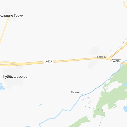
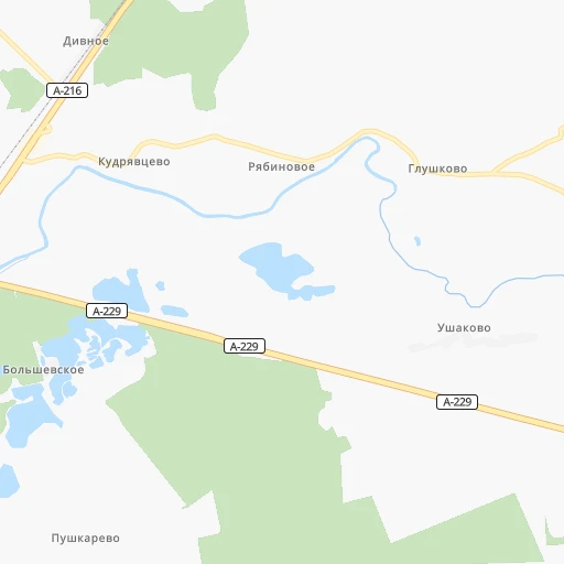
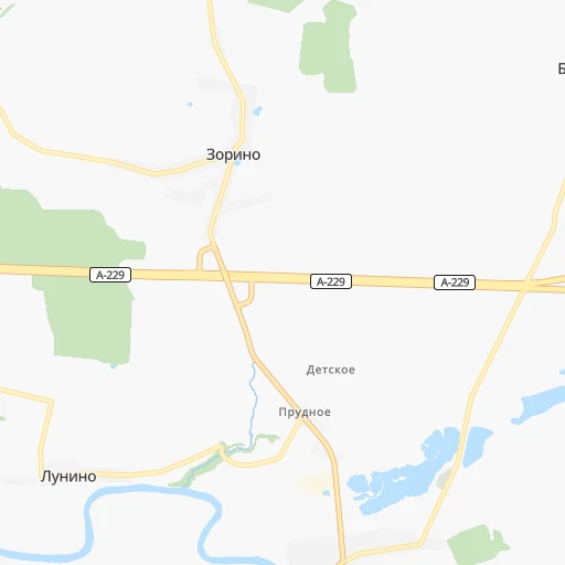
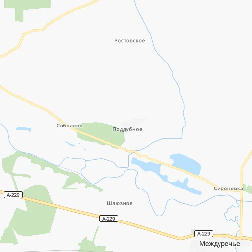
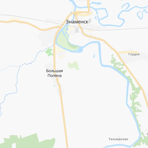
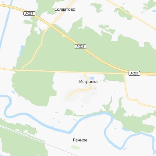
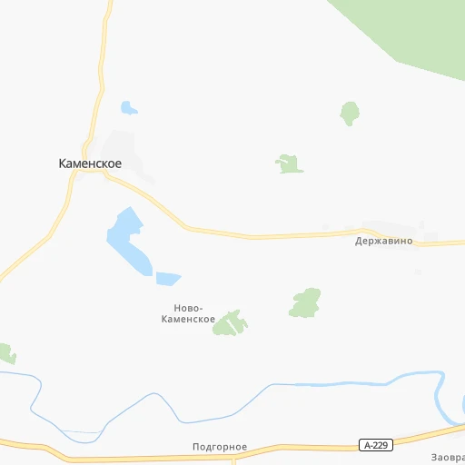
Roadmap (route) to go from Stantsiya Pushkarëvo to Bagrationovsk detailed above, you can also see the course layout on the map.
While doing trip Stantsiya Pushkarëvo - Bagrationovsk by car, the calculated route ends at a distance , or more straight.
Distance and duration of the route between Stantsiya Pushkarëvo and Bagrationovsk
Calculation of distance and route from Bagrationovsk to Stantsiya Pushkarëvo :
54.072.9 km1h25mn
Continue onto 27К-271 0h7mn 3.3 kmTurn left onto А-229 0h2mn 1.3 kmTurn left onto Молодёжная улица 0h15mn 7.3 kmContinue onto Новая улица 0h1mn 796 mTurn slight left onto 27А-029 0h2mn 1.8 kmKeep left onto 27А-029 0h15mn 14.6 kmTurn right onto 27А-029 0h1mn 610 mTurn right onto улица Правдинское шоссе 0h12mn 13.0 kmTurn slight right onto улица 28-й Армии 0h0mn 317 mKeep left onto Торговая улица 0h2mn 1.5 kmTurn left onto улица Кутузова 0h12mn 12.3 kmTurn right onto 27К-173 0h2mn 1.6 kmTurn left onto Заводская улица 0h15mn 14.6 kmArrive at destination 0h0mn 0 m
Travel from Stantsiya Pushkarëvo (Kaliningrad) to a selection of major cities.
Distances from Stantsiya Pushkarëvo to biggest cities in Kaliningrad
Other major cities in country :
- Yaroslavl [88], 606,730 inhabitants. 1,191 km
- Barnaul [04], 599,579 inhabitants. 3,949 km
- Vladivostok [59], 587,022 inhabitants. 7,330 km
- Irkutsk [20], 586,695 inhabitants. 5,173 km
- Khabarovsk [30], 579,000 inhabitants. 6,997 km
- Khabarovsk Vtoroy [30], 578,303 inhabitants. 7,004 km
- Orenburg [55], 550,204 inhabitants. 2,249 km
- Novokuznetsk [29], 539,616 inhabitants. 4,123 km
- Ryazan' [62], 520,173 inhabitants. 1,177 km
- Tyumen [78], 519,119 inhabitants. 2,722 km
- Lipetsk [43], 515,655 inhabitants. 1,219 km
- Penza [57], 512,602 inhabitants. 1,550 km
- Naberezhnyye Chelny [73], 509,870 inhabitants. 1,960 km
- Kalininskiy [42], 504,641 inhabitants. 806 km
- Astrakhan [07], 502,533 inhabitants. 2,084 km
- Makhachkala [17], 497,959 inhabitants. 2,292 km
- Tomsk [75], 485,519 inhabitants. 3,864 km
- Kemerovo [29], 477,090 inhabitants. 3,983 km
- Tula [76], 468,825 inhabitants. 1,051 km
- Kirov [33], 457,383 inhabitants. 1,774 km
Route from Bagrationovsk to major cities (Russia).
- Distance Bagrationovsk Moscow1,090 km
- Distance Bagrationovsk Saint Petersburg848 km
- Distance Bagrationovsk Novosibirsk3,871 km
- Distance Bagrationovsk Yekaterinburg2,491 km
- Distance Bagrationovsk Nizhniy Novgorod1,486 km
- Distance Bagrationovsk Samara1,930 km
- Distance Bagrationovsk Omsk3,312 km
- Distance Bagrationovsk Kazan1,808 km
- Distance Bagrationovsk Rostov-na-Donu1,553 km
- Distance Bagrationovsk Chelyabinsk2,583 km
- Distance Bagrationovsk Ufa2,256 km
- Distance Bagrationovsk Volgograd1,757 km
- Distance Bagrationovsk Perm2,215 km
- Distance Bagrationovsk Krasnoyarsk4,378 km
- Distance Bagrationovsk Saratov1,720 km
- Distance Bagrationovsk Voronezh1,273 km
- Distance Bagrationovsk Tol'yatti1,869 km
- Distance Bagrationovsk Krasnodar1,672 km
- Distance Bagrationovsk Ulyanovsk1,788 km
- Distance Bagrationovsk Izhevsk2,045 km
Nearest cities to Stantsiya Pushkarëvo :
- Kaliningrad, 434,954 inhabitants. 57 km
- Chernyakhovsk, 45,187 inhabitants. 28 km
- Sovetsk, 43,309 inhabitants. 61 km
- Baltiysk, 34,540 inhabitants. 95 km
- Gusev, 28,690 inhabitants. 53 km
- Svetlyy, 22,119 inhabitants. 80 km
- Gvardeysk, 13,088 inhabitants. 20 km
- Zelenogradsk, 12,846 inhabitants. 69 km
- Neman, 12,507 inhabitants. 62 km
- Pionerskiy, 11,856 inhabitants. 82 km
- Gur'yevsk, 11,474 inhabitants. 52 km
- Svetlogorsk, 11,000 inhabitants. 86 km
- Polessk, 7,835 inhabitants. 32 km
- Bagrationovsk, 7,306 inhabitants. 54 km
- Mamonovo, 7,271 inhabitants. 95 km
- Ozersk, 5,705 inhabitants. 47 km
- Yantarnyy, 5,527 inhabitants. 96 km
- Slavsk, 5,248 inhabitants. 51 km
- Nesterov, 5,071 inhabitants. 77 km
- Znamensk, 4,600 inhabitants. 10 km
- Pravdinsk, 4,515 inhabitants. 31 km
- Ladushkin, 3,928 inhabitants. 78 km
- Krasnoznamensk, 3,724 inhabitants. 80 km
- Donskoye, 3,212 inhabitants. 97 km
- Bol'shoe Isakovo, 3,187 inhabitants. 51 km
- Yuzhnyy, 3,111 inhabitants. 51 km
Location Stantsiya Pushkarëvo (Kaliningrad) :
| Country flag |  |
| Location | Stantsiya Pushkarëvo |
| State | Kaliningrad |
| County | |
| Country | Russia |
| Country code / ISO 2 | RU |
| Latitude | 54.6213400 |
| Longitude | 21.3775000 |
| Altitude | 0 meters |
| Time zone | Europe/Kaliningrad |
Location Bagrationovsk (Kaliningrad) :
| Country flag | |
| Location | Bagrationovsk |
| State | Kaliningrad |
| County | |
| Country | Russia |
| Country code / ISO 2 | RU |
| Latitude | 54.3871400 |
| Longitude | 20.6437200 |
| Altitude | 0 meters |
| Time zone | Europe/Kaliningrad |