
How to get from Hawk Air (airport) (Missouri) to Nixa (Missouri)
Calculate route from Hawk Air (airport) (Missouri, United States) to Nixa (Missouri, United States).
The flight distance (as the crow flies) between Hawk Air (airport) and Nixa is 256.4 km.
Roadmap (route) to go from Hawk Air Airport to Nixa detailed above, you can also see the course layout on the map.
While doing trip Hawk Air (airport) - Nixa by car, the calculated route ends at a distance , or more straight.
Distance and duration of the route between Hawk Air (airport) and Nixa
An error occured: undefined - for url https://route.cartes.cc/route?point=39.20354%2C-92.26274&point=37.04339%2C-93.29435&vehicle=car&debug=false&data_type=application%2Fjson&locale=en&points_encoded=true&instructions=true&elevation=false&optimize=false&timeout=10000&skip.host=true&skip.basePath=true&graphhopper_maps_host=https%3A%2F%2Fgraphhopper.com%2Fmaps%2F%3F&turn_sign_map.0=continue&turn_sign_map.1=turn%20slight%20right&turn_sign_map.2=turn%20right&turn_sign_map.3=turn%20sharp%20right&turn_sign_map.4=finish&turn_sign_map.5=reached%20via%20point&turn_sign_map.6=enter%20roundabout&turn_sign_map.-6=leave%20roundabout&turn_sign_map.-3=turn%20sharp%20left&turn_sign_map.-2=turn%20left&turn_sign_map.-1=turn%20slight%20left&key=&position=topleft
Calculation of distance and route from Nixa to Hawk Air (airport) :
256.4323.2 km4h47mn
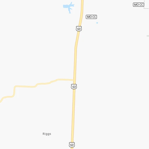
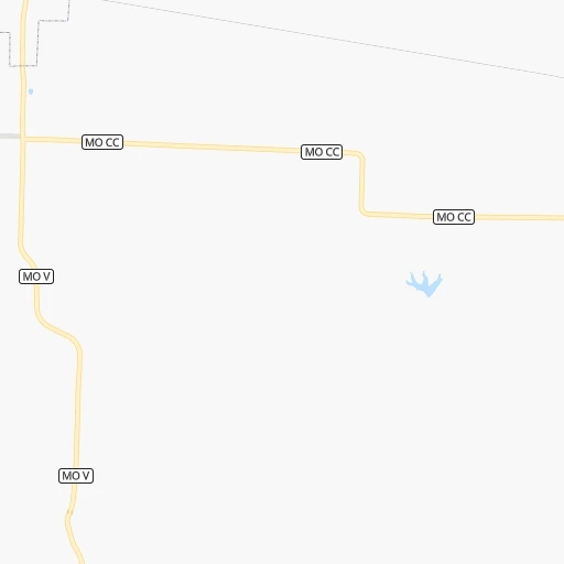
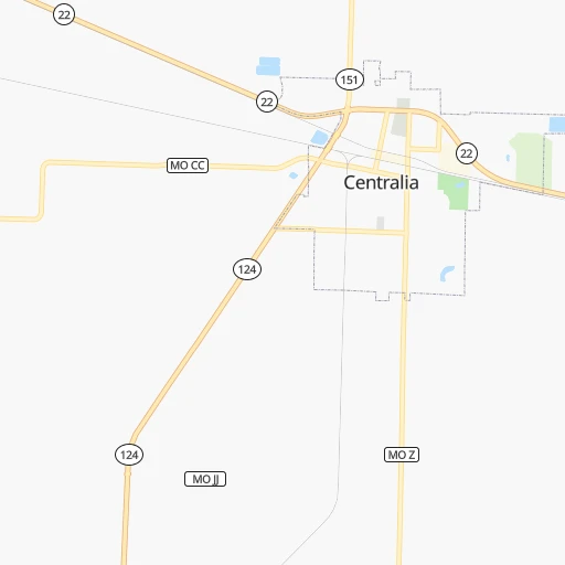
Continue 0h1mn 299 mTurn left onto Sydow Road 0h2mn 1.2 kmTurn left onto State Highway CC 0h3mn 2.1 kmContinue onto Sturgeon Cemetery Road 0h6mn 3.2 kmTurn right onto Mc Comas Road 0h5mn 2.4 kmTurn left onto US 63 1h42mn 71.2 kmTurn right 0h0mn 49 mTurn left onto Renz Farm Road 0h2mn 2.9 kmKeep right 1h9mn 94.7 kmKeep left onto US 54 0h0mn 52 mTurn sharp left onto US 54 0h0mn 19 mTurn right and take MO 5 South, MO 7 South toward Lebanon 0h3mn 5.0 kmContinue onto MO 5 0h23mn 33.6 kmTurn left onto North Jefferson Avenue 0h2mn 2.5 kmTurn right and take I 44 West toward Springfield 1h42mn 70.9 kmKeep right toward MO 744 0h1mn 548 mKeep right 0h0mn 253 mTurn right onto East Kearney Street 0h4mn 4.1 kmTurn sharp left 0h13mn 18.7 kmKeep right and take MO J, MO CC toward Fremont Hills 0h0mn 263 mKeep right and take MO CC toward Fremont Hills 0h1mn 1.5 kmTurn sharp left onto Fremont Road 0h2mn 2.3 kmTurn right onto East North Street 0h1mn 1.6 kmTurn left onto North Cheyenne Road 0h1mn 962 mTurn right onto MO 14 0h3mn 2.7 kmArrive at destination 0h0mn 0 m
Travel from Hawk Air (airport) (Missouri) to a selection of major cities.
Distances from Hawk Air Airport to biggest cities in Missouri
- University City,35,058 inhabitants.180 km
- Ballwin,30,577 inhabitants.163 km
- Liberty,30,450 inhabitants.186 km
- Raytown,29,401 inhabitants.191 km
- Mehlville,28,380 inhabitants.185 km
- Kirkwood,27,750 inhabitants.175 km
- Maryland Heights,27,389 inhabitants.168 km
- Gladstone,26,861 inhabitants.198 km
- Hazelwood,25,661 inhabitants.171 km
- Grandview,25,256 inhabitants.199 km
- Webster Groves,23,177 inhabitants.179 km
- Belton,23,168 inhabitants.201 km
- Sedalia,21,516 inhabitants.100 km
- Arnold,21,357 inhabitants.185 km
- Ferguson,21,059 inhabitants.177 km
- Nixa,20,984 inhabitants.257 km
- Raymore,20,374 inhabitants.195 km
- Affton,20,307 inhabitants.182 km
- Rolla,20,019 inhabitants.146 km
Other major cities in country :
- Charlotte [NC], 827,097 inhabitants. 1,104 km
- Seattle [WA], 684,451 inhabitants. 2,586 km
- Denver [CO], 682,545 inhabitants. 1,094 km
- El Paso [TX], 681,124 inhabitants. 1,530 km
- Detroit [MI], 677,116 inhabitants. 851 km
- Boston [MA], 667,137 inhabitants. 1,816 km
- Memphis [TN], 655,770 inhabitants. 492 km
- New South Memphis [TN], 641,608 inhabitants. 498 km
- Portland [OR], 632,309 inhabitants. 2,581 km
- Oklahoma City [OK], 631,346 inhabitants. 624 km
- Las Vegas [NV], 623,747 inhabitants. 2,037 km
- Baltimore [MD], 621,849 inhabitants. 1,348 km
- Washington, D.C. [DC], 601,723 inhabitants. 1,315 km
- Milwaukee [WI], 600,155 inhabitants. 562 km
- South Boston [MA], 571,281 inhabitants. 1,817 km
- Albuquerque [NM], 559,121 inhabitants. 1,355 km
- Tucson [AZ], 531,641 inhabitants. 1,853 km
- Nashville [TN], 530,852 inhabitants. 589 km
- Fresno [CA], 520,052 inhabitants. 2,420 km
- Sacramento [CA], 490,712 inhabitants. 2,523 km
Route from Nixa to major cities (United States).
- Distance Nixa New York City1,717 km
- Distance Nixa Los Angeles2,277 km
- Distance Nixa Chicago722 km
- Distance Nixa Brooklyn1,721 km
- Distance Nixa Houston833 km
- Distance Nixa Queens1,731 km
- Distance Nixa Philadelphia1,609 km
- Distance Nixa Phoenix1,750 km
- Distance Nixa Manhattan1,721 km
- Distance Nixa San Antonio976 km
- Distance Nixa San Diego2,226 km
- Distance Nixa The Bronx1,731 km
- Distance Nixa Dallas572 km
- Distance Nixa San Jose2,527 km
- Distance Nixa Austin859 km
- Distance Nixa Jacksonville1,310 km
- Distance Nixa San Francisco2,566 km
- Distance Nixa Columbus953 km
- Distance Nixa Fort Worth605 km
- Distance Nixa Indianapolis692 km
Nearest cities to Hawk Air (airport) :
- Kansas City, 475,378 inhabitants. 200 km
- St. Louis, 315,685 inhabitants. 190 km
- Des Moines, 210,330 inhabitants. 290 km
- Overland Park, 186,515 inhabitants. 209 km
- Springfield, 166,810 inhabitants. 239 km
- Kansas City, 151,306 inhabitants. 204 km
- Olathe, 134,305 inhabitants. 224 km
- Cedar Rapids, 130,405 inhabitants. 317 km
- Columbia, 119,108 inhabitants. 29 km
- Independence, 117,255 inhabitants. 186 km
- Springfield, 116,565 inhabitants. 235 km
- Peoria, 115,070 inhabitants. 282 km
- North Peoria, 113,004 inhabitants. 284 km
- East Independence, 110,675 inhabitants. 181 km
- Davenport, 102,582 inhabitants. 295 km
- Lee's Summit, 95,094 inhabitants. 186 km
- Lawrence, 93,917 inhabitants. 258 km
- O'Fallon, 85,040 inhabitants. 142 km
- Saint Joseph, 76,780 inhabitants. 231 km
- Iowa City, 74,220 inhabitants. 281 km
- Saint Charles, 65,794 inhabitants. 161 km
- Ames, 65,060 inhabitants. 335 km
- Shawnee, 65,046 inhabitants. 213 km
- West Des Moines, 64,113 inhabitants. 291 km
- Rogers, 63,159 inhabitants. 359 km
- Ankeny, 56,764 inhabitants. 303 km
- Blue Springs, 54,148 inhabitants. 176 km
- Saint Peters, 52,575 inhabitants. 148 km
- Lenexa, 52,490 inhabitants. 215 km
- Florissant, 52,268 inhabitants. 174 km
- Joplin, 51,818 inhabitants. 307 km
- Chesterfield, 47,864 inhabitants. 158 km
- Bentonville, 44,499 inhabitants. 359 km
- Urbandale, 44,062 inhabitants. 296 km
- Jefferson City, 43,169 inhabitants. 70 km
- Moline, 42,681 inhabitants. 296 km
- Belleville, 42,034 inhabitants. 212 km
- Quincy, 40,780 inhabitants. 110 km
- Cape Girardeau, 39,462 inhabitants. 320 km
- Rock Island, 38,620 inhabitants. 294 km
- Marion, 37,330 inhabitants. 320 km
- Oakville, 36,143 inhabitants. 188 km
- Leavenworth, 35,980 inhabitants. 230 km
- Wildwood, 35,899 inhabitants. 155 km
- Wentzville, 35,603 inhabitants. 130 km
- Bettendorf, 35,505 inhabitants. 298 km
- University City, 35,058 inhabitants. 180 km
- Leawood, 34,579 inhabitants. 205 km
- Pekin, 33,223 inhabitants. 271 km
- Galesburg, 31,273 inhabitants. 252 km
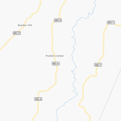
Location Hawk Air (airport) (Missouri) :
| Country flag |  |
| Location | Hawk Air (airport) |
| State | Missouri |
| County | Boone County |
| Country | United States |
| Country code / ISO 2 | US |
| Latitude | 39.2035400 |
| Longitude | -92.2627400 |
| Altitude | 262 meters |
| Time zone | America/Chicago |
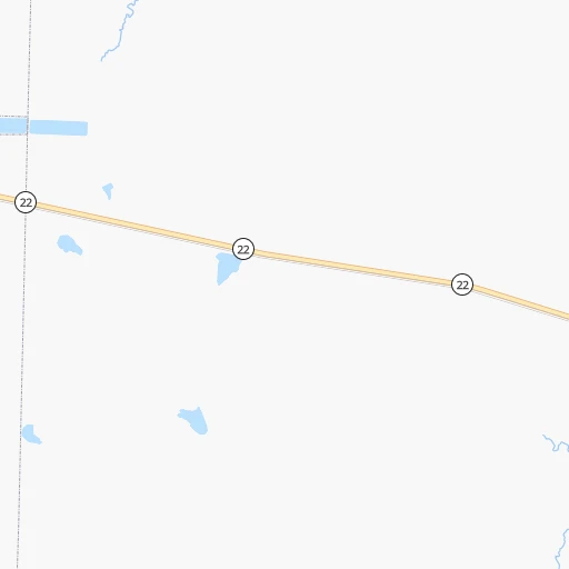
Location Nixa (Missouri) :
| Country flag | |
| Location | Nixa |
| State | Missouri |
| County | Christian County |
| Country | United States |
| Country code / ISO 2 | US |
| Latitude | 37.0433900 |
| Longitude | -93.2943500 |
| Altitude | 395 meters |
| Time zone | America/Chicago |


