


How to get from Cedar Creek (airport) (Missouri) to Leavenworth (Kansas)
Calculate route from Cedar Creek (airport) (Missouri, United States) to Leavenworth (Kansas, United States).
The flight distance (as the crow flies) between Cedar Creek (airport) and Leavenworth is 241.4 km.
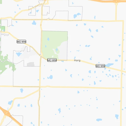
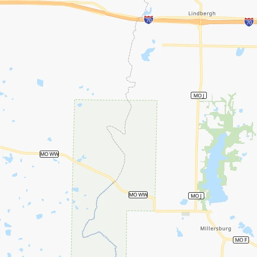
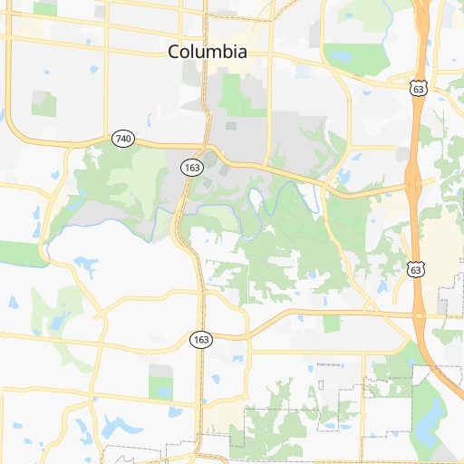
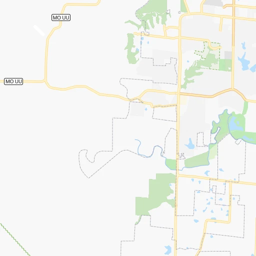
Roadmap (route) to go from Cedar Creek Airport to Leavenworth detailed above, you can also see the course layout on the map.
While doing trip Cedar Creek (airport) - Leavenworth by car, the calculated route ends at a distance , or more straight.
Distance and duration of the route between Cedar Creek (airport) and Leavenworth
Calculation of distance and route from Leavenworth to Cedar Creek (airport) :
241.4266.0 km3h58mn
Continue onto South Purdy Lane 0h1mn 569 mTurn right onto MO WW 0h6mn 7.4 kmAt roundabout, take exit 2 onto MO WW 0h3mn 3.9 kmTurn right toward US 63 North 0h1mn 847 mKeep right onto US 63 CONN and take I 70, US 40, MO PP toward Kansas City, Saint Louis 0h1mn 580 mKeep left onto US 63 CONN 0h0mn 33 mContinue onto US 63 CONN 0h0mn 337 mTurn left and take I 70 West, US 40 West toward Kansas City 2h3mn 202.5 kmKeep left onto I 670, I 70 Alt and take I 670 West, I 70 Alternate, I 35 South toward Topeka, Wichita 0h0mn 376 mKeep right and drive toward 13th Street, Downtown 0h0mn 275 mTurn right onto Charlotte Street 0h1mn 978 mTurn left onto Independence Avenue 0h1mn 605 mContinue and take MO 9 North toward North Kansas City 0h6mn 5.7 kmKeep right and take US 169 North toward Smithville 0h2mn 2.5 kmKeep left and take I 29 North, US 71 North toward K.C.I. Airport, Saint Joseph 0h4mn 5.1 kmKeep right and take MO 45 toward Northwest 64th Street 0h0mn 317 mKeep left 0h0mn 62 mTurn left onto Tom Watson Parkway 0h5mn 5.3 kmAt roundabout, take exit 2 onto Tom Watson Parkway 0h3mn 3.4 kmAt roundabout, take exit 2 onto Tom Watson Parkway 0h2mn 2.0 kmAt roundabout, take exit 1 onto Tom Watson Parkway 0h11mn 14.9 kmTurn left onto MO 45 Spur and drive toward Leavenworth 0h3mn 3.7 kmAt roundabout, take exit 2 onto MO 92 0h2mn 1.8 kmTurn left onto North 4th Street 0h1mn 880 mTurn right onto Miami Street 0h0mn 406 mTurn left onto North 7th Street 0h0mn 397 mTurn right onto Cherokee Street 0h0mn 239 mTurn left onto South Broadway Street 0h1mn 668 mTurn right onto Spruce Street 0h0mn 162 mTurn right 0h0mn 55 mArrive at destination 0h0mn 0 m
Travel from Cedar Creek (airport) (Kansas) to a selection of major cities.
Distances from Cedar Creek Airport to biggest cities in Missouri
- University City,35,058 inhabitants.164 km
- Ballwin,30,577 inhabitants.145 km
- Liberty,30,450 inhabitants.198 km
- Raytown,29,401 inhabitants.199 km
- Mehlville,28,380 inhabitants.167 km
- Kirkwood,27,750 inhabitants.157 km
- Maryland Heights,27,389 inhabitants.153 km
- Gladstone,26,861 inhabitants.209 km
- Hazelwood,25,661 inhabitants.157 km
- Grandview,25,256 inhabitants.205 km
- Webster Groves,23,177 inhabitants.161 km
- Belton,23,168 inhabitants.205 km
- Sedalia,21,516 inhabitants.95 km
- Arnold,21,357 inhabitants.165 km
- Ferguson,21,059 inhabitants.163 km
- Nixa,20,984 inhabitants.231 km
- Raymore,20,374 inhabitants.198 km
- Affton,20,307 inhabitants.165 km
- Rolla,20,019 inhabitants.113 km
Other major cities in country :
- Charlotte [NC], 827,097 inhabitants. 1,086 km
- Seattle [WA], 684,451 inhabitants. 2,609 km
- Denver [CO], 682,545 inhabitants. 1,106 km
- El Paso [TX], 681,124 inhabitants. 1,522 km
- Detroit [MI], 677,116 inhabitants. 858 km
- Boston [MA], 667,137 inhabitants. 1,819 km
- Memphis [TN], 655,770 inhabitants. 460 km
- New South Memphis [TN], 641,608 inhabitants. 466 km
- Portland [OR], 632,309 inhabitants. 2,602 km
- Oklahoma City [OK], 631,346 inhabitants. 610 km
- Las Vegas [NV], 623,747 inhabitants. 2,045 km
- Baltimore [MD], 621,849 inhabitants. 1,343 km
- Washington, D.C. [DC], 601,723 inhabitants. 1,309 km
- Milwaukee [WI], 600,155 inhabitants. 581 km
- South Boston [MA], 571,281 inhabitants. 1,819 km
- Albuquerque [NM], 559,121 inhabitants. 1,355 km
- Tucson [AZ], 531,641 inhabitants. 1,850 km
- Nashville [TN], 530,852 inhabitants. 565 km
- Fresno [CA], 520,052 inhabitants. 2,430 km
- Sacramento [CA], 490,712 inhabitants. 2,535 km
Route from Leavenworth to major cities (United States).
- Distance Leavenworth New York City1,786 km
- Distance Leavenworth Los Angeles2,156 km
- Distance Leavenworth Chicago676 km
- Distance Leavenworth Brooklyn1,791 km
- Distance Leavenworth Houston1,064 km
- Distance Leavenworth Queens1,800 km
- Distance Leavenworth Philadelphia1,692 km
- Distance Leavenworth Phoenix1,666 km
- Distance Leavenworth Manhattan1,789 km
- Distance Leavenworth San Antonio1,148 km
- Distance Leavenworth San Diego2,126 km
- Distance Leavenworth The Bronx1,797 km
- Distance Leavenworth Dallas746 km
- Distance Leavenworth San Jose2,357 km
- Distance Leavenworth Austin1,039 km
- Distance Leavenworth Jacksonville1,568 km
- Distance Leavenworth San Francisco2,391 km
- Distance Leavenworth Columbus1,024 km
- Distance Leavenworth Fort Worth764 km
- Distance Leavenworth Indianapolis754 km
Nearest cities to Cedar Creek (airport) :
- Kansas City, 475,378 inhabitants. 209 km
- St. Louis, 315,685 inhabitants. 174 km
- Des Moines, 210,330 inhabitants. 322 km
- Overland Park, 186,515 inhabitants. 217 km
- Springfield, 166,810 inhabitants. 214 km
- Kansas City, 151,306 inhabitants. 214 km
- Olathe, 134,305 inhabitants. 230 km
- Columbia, 119,108 inhabitants. 15 km
- Independence, 117,255 inhabitants. 195 km
- Springfield, 116,565 inhabitants. 238 km
- Peoria, 115,070 inhabitants. 296 km
- North Peoria, 113,004 inhabitants. 298 km
- East Independence, 110,675 inhabitants. 190 km
- Davenport, 102,582 inhabitants. 320 km
- Lee's Summit, 95,094 inhabitants. 192 km
- O'Fallon, 85,040 inhabitants. 128 km
- Fayetteville, 82,830 inhabitants. 364 km
- Springdale, 77,859 inhabitants. 350 km
- Saint Joseph, 76,780 inhabitants. 249 km
- Iowa City, 74,220 inhabitants. 310 km
- Saint Charles, 65,794 inhabitants. 147 km
- Shawnee, 65,046 inhabitants. 221 km
- West Des Moines, 64,113 inhabitants. 323 km
- Rogers, 63,159 inhabitants. 336 km
- Ankeny, 56,764 inhabitants. 336 km
- Blue Springs, 54,148 inhabitants. 183 km
- Saint Peters, 52,575 inhabitants. 134 km
- Lenexa, 52,490 inhabitants. 222 km
- Florissant, 52,268 inhabitants. 161 km
- Joplin, 51,818 inhabitants. 290 km
- Chesterfield, 47,864 inhabitants. 141 km
- Bentonville, 44,499 inhabitants. 336 km
- Urbandale, 44,062 inhabitants. 328 km
- Jefferson City, 43,169 inhabitants. 38 km
- Moline, 42,681 inhabitants. 320 km
- Belleville, 42,034 inhabitants. 195 km
- Quincy, 40,780 inhabitants. 130 km
- Cape Girardeau, 39,462 inhabitants. 294 km
- Rock Island, 38,620 inhabitants. 318 km
- Oakville, 36,143 inhabitants. 170 km
- Leavenworth, 35,980 inhabitants. 242 km
- Wildwood, 35,899 inhabitants. 136 km
- Wentzville, 35,603 inhabitants. 115 km
- Bettendorf, 35,505 inhabitants. 322 km
- University City, 35,058 inhabitants. 164 km
- Leawood, 34,579 inhabitants. 212 km
- Pekin, 33,223 inhabitants. 283 km
- Galesburg, 31,273 inhabitants. 273 km
- Ballwin, 30,577 inhabitants. 145 km
- Liberty, 30,450 inhabitants. 198 km
Location Cedar Creek (airport) (Missouri) :
| Country flag |  |
| Location | Cedar Creek (airport) |
| State | Missouri |
| County | Boone County |
| Country | United States |
| Country code / ISO 2 | US |
| Latitude | 38.9218900 |
| Longitude | -92.1682500 |
| Altitude | 251 meters |
| Time zone | America/Chicago |
Location Leavenworth (Kansas) :
| Country flag | |
| Location | Leavenworth |
| State | Kansas |
| County | Leavenworth County |
| Country | United States |
| Country code / ISO 2 | US |
| Latitude | 39.3111100 |
| Longitude | -94.9224600 |
| Altitude | 256 meters |
| Time zone | America/Chicago |


