
How to get from Craig Craft (airport) (North Carolina) to Wilson (North Carolina)
Calculate route from Craig Craft (airport) (North Carolina, United States) to Wilson (North Carolina, United States).
The flight distance (as the crow flies) between Craig Craft (airport) and Wilson is 141.7 km.
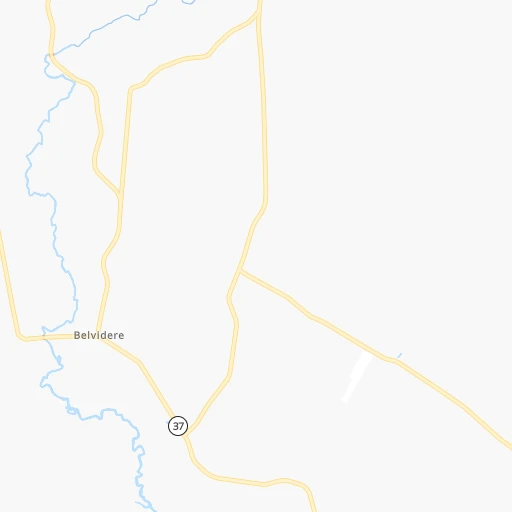
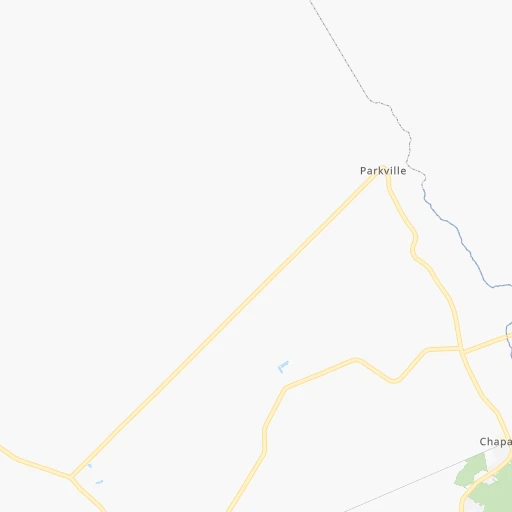
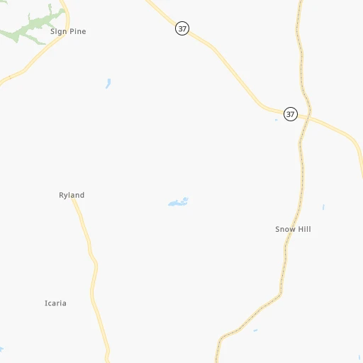
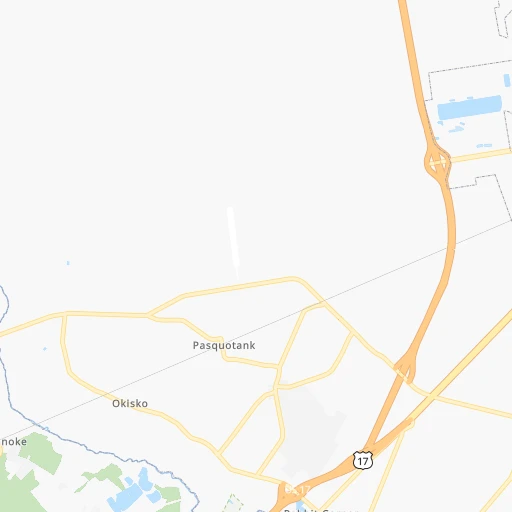
Roadmap (route) to go from Craig Craft Airport to Wilson detailed above, you can also see the course layout on the map.
While doing trip Craig Craft (airport) - Wilson by car, the calculated route ends at a distance , or more straight.
Distance and duration of the route between Craig Craft (airport) and Wilson
Calculation of distance and route from Wilson to Craig Craft (airport) :
141.7170.7 km2h12mn
Continue 0h0mn 61 mTurn right onto Swamp Road 0h7mn 5.9 kmTurn right onto Lake Road 0h3mn 2.7 kmTurn left onto Wiggins Road 0h0mn 235 mTurn right onto Ocean Highway 1h32mn 45.5 kmTurn left onto US 17 0h9mn 11.0 kmTurn left onto East Water Street 0h2mn 1.7 kmTurn left onto US 13, US 17 0h15mn 19.5 kmTurn right onto East Boulevard 0h2mn 2.6 kmTurn slight right onto West Main Street 0h8mn 9.4 kmTurn left 0h12mn 20.7 kmKeep right and take NC 42 toward Wilson, Ahoskie 0h0mn 487 mTurn left onto NC 42 1h41mn 50.3 kmContinue onto Goldsboro Street Southwest 0h1mn 631 mArrive at destination 0h0mn 0 m
Travel from Craig Craft (airport) (North Carolina) to a selection of major cities.
Distances from Craig Craft Airport to biggest cities in North Carolina
- Kannapolis,46,144 inhabitants.383 km
- Apex,45,585 inhabitants.221 km
- Hickory,40,374 inhabitants.441 km
- Wake Forest,38,199 inhabitants.184 km
- Indian Trail,37,073 inhabitants.400 km
- Mooresville,36,009 inhabitants.397 km
- Goldsboro,35,826 inhabitants.167 km
- Monroe,34,623 inhabitants.394 km
- Salisbury,34,017 inhabitants.365 km
- Holly Springs,31,377 inhabitants.222 km
- Matthews,30,678 inhabitants.403 km
- New Bern,30,070 inhabitants.138 km
- Fort Bragg,29,183 inhabitants.260 km
- Sanford,29,144 inhabitants.258 km
- Cornelius,28,092 inhabitants.404 km
- Garner,28,053 inhabitants.201 km
- Thomasville,27,061 inhabitants.326 km
- Statesville,26,221 inhabitants.399 km
- Asheboro,26,103 inhabitants.306 km
- Mint Hill,25,627 inhabitants.395 km
Other major cities in country :
- Seattle [WA], 684,451 inhabitants. 3,936 km
- Denver [CO], 682,545 inhabitants. 2,518 km
- El Paso [TX], 681,124 inhabitants. 2,801 km
- Detroit [MI], 677,116 inhabitants. 880 km
- Boston [MA], 667,137 inhabitants. 824 km
- Memphis [TN], 655,770 inhabitants. 1,231 km
- New South Memphis [TN], 641,608 inhabitants. 1,233 km
- Portland [OR], 632,309 inhabitants. 3,962 km
- Oklahoma City [OK], 631,346 inhabitants. 1,895 km
- Las Vegas [NV], 623,747 inhabitants. 3,447 km
- Baltimore [MD], 621,849 inhabitants. 337 km
- Washington, D.C. [DC], 601,723 inhabitants. 297 km
- Milwaukee [WI], 600,155 inhabitants. 1,233 km
- South Boston [MA], 571,281 inhabitants. 822 km
- Albuquerque [NM], 559,121 inhabitants. 2,720 km
- Tucson [AZ], 531,641 inhabitants. 3,184 km
- Nashville [TN], 530,852 inhabitants. 924 km
- Fresno [CA], 520,052 inhabitants. 3,839 km
- Sacramento [CA], 490,712 inhabitants. 3,947 km
- Kansas City [MO], 475,378 inhabitants. 1,622 km
Route from Wilson to major cities (United States).
- Distance Wilson New York City652 km
- Distance Wilson Los Angeles3,661 km
- Distance Wilson Chicago1,085 km
- Distance Wilson Brooklyn649 km
- Distance Wilson Houston1,760 km
- Distance Wilson Queens657 km
- Distance Wilson Philadelphia529 km
- Distance Wilson Phoenix3,125 km
- Distance Wilson Manhattan661 km
- Distance Wilson San Antonio2,049 km
- Distance Wilson San Diego3,604 km
- Distance Wilson The Bronx671 km
- Distance Wilson Dallas1,766 km
- Distance Wilson San Jose3,902 km
- Distance Wilson Austin1,944 km
- Distance Wilson Jacksonville694 km
- Distance Wilson San Francisco3,939 km
- Distance Wilson Columbus650 km
- Distance Wilson Fort Worth1,814 km
- Distance Wilson Indianapolis853 km
Nearest cities to Craig Craft (airport) :
- Washington, D.C., 601,723 inhabitants. 297 km
- Virginia Beach, 452,745 inhabitants. 80 km
- Raleigh, 451,066 inhabitants. 201 km
- West Raleigh, 338,759 inhabitants. 203 km
- Durham, 257,636 inhabitants. 219 km
- Norfolk, 246,393 inhabitants. 67 km
- Chesapeake, 235,429 inhabitants. 65 km
- Richmond, 220,289 inhabitants. 167 km
- Arlington, 207,627 inhabitants. 296 km
- Fayetteville, 201,963 inhabitants. 255 km
- Newport News, 182,385 inhabitants. 91 km
- Cary, 159,769 inhabitants. 213 km
- Alexandria, 153,511 inhabitants. 287 km
- East Hampton, 147,993 inhabitants. 87 km
- Hampton, 136,454 inhabitants. 86 km
- Wilmington, 115,933 inhabitants. 263 km
- Columbia, 99,615 inhabitants. 333 km
- Portsmouth Heights, 99,049 inhabitants. 63 km
- Portsmouth, 96,201 inhabitants. 66 km
- Greenville, 90,597 inhabitants. 107 km
- Suffolk, 88,161 inhabitants. 52 km
- Germantown, 86,395 inhabitants. 331 km
- South Suffolk, 80,690 inhabitants. 51 km
- Lynchburg, 79,812 inhabitants. 269 km
- Silver Spring, 71,452 inhabitants. 307 km
- Centreville, 71,135 inhabitants. 298 km
- Waldorf, 67,752 inhabitants. 266 km
- Glen Burnie, 67,639 inhabitants. 323 km
- Gaithersburg, 67,456 inhabitants. 326 km
- Jacksonville, 67,357 inhabitants. 189 km
- Rockville, 66,980 inhabitants. 319 km
- Dale City, 65,969 inhabitants. 274 km
- West Lynchburg, 65,517 inhabitants. 271 km
- Dundalk, 63,597 inhabitants. 332 km
- Bethesda, 60,858 inhabitants. 307 km
- Chapel Hill, 59,568 inhabitants. 234 km
- Reston, 58,404 inhabitants. 310 km
- Bowie, 58,025 inhabitants. 299 km
- Rocky Mount, 55,806 inhabitants. 122 km
- Harrisonburg, 52,538 inhabitants. 322 km
- Burlington, 52,472 inhabitants. 265 km
- Leesburg, 51,209 inhabitants. 331 km
- Wilson, 49,643 inhabitants. 142 km
- Aspen Hill, 48,759 inhabitants. 317 km
- Wheaton, 48,284 inhabitants. 313 km
- McLean, 48,115 inhabitants. 303 km
- Charlottesville, 46,597 inhabitants. 264 km
- Apex, 45,585 inhabitants. 221 km
- Tuckahoe, 44,990 inhabitants. 175 km
- Potomac, 44,965 inhabitants. 313 km
Location Craig Craft (airport) (North Carolina) :
| Country flag |  |
| Location | Craig Craft (airport) |
| State | North Carolina |
| County | Perquimans County |
| Country | United States |
| Country code / ISO 2 | US |
| Latitude | 36.2652300 |
| Longitude | -76.4903400 |
| Altitude | 4 meters |
| Time zone | America/New_York |
Location Wilson (North Carolina) :
| Country flag | |
| Location | Wilson |
| State | North Carolina |
| County | Wilson County |
| Country | United States |
| Country code / ISO 2 | US |
| Latitude | 35.7212700 |
| Longitude | -77.9155400 |
| Altitude | 33 meters |
| Time zone | America/New_York |


