
How to get from LZ Carroll (airport) (North Carolina) to Wilson (North Carolina)
Calculate route from LZ Carroll (airport) (North Carolina, United States) to Wilson (North Carolina, United States).
The flight distance (as the crow flies) between LZ Carroll (airport) and Wilson is 221.5 km.
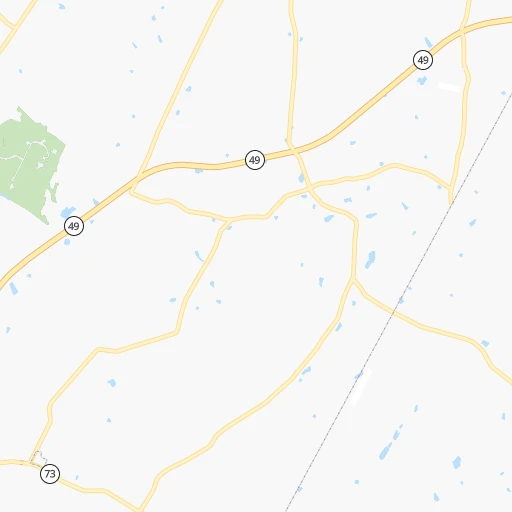
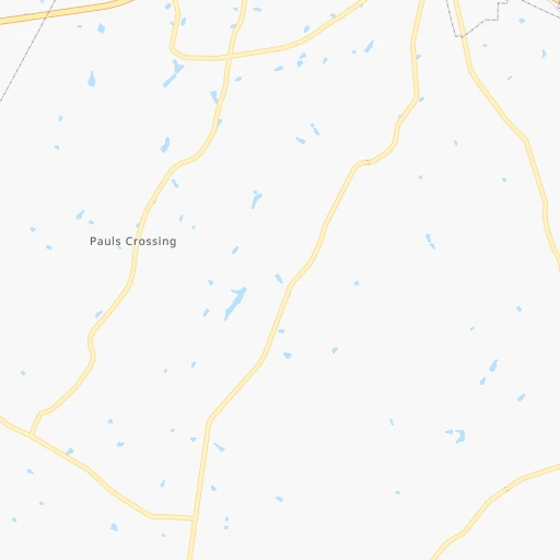
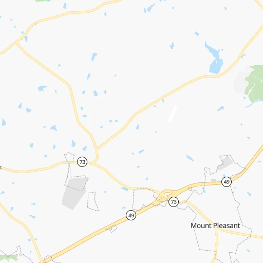
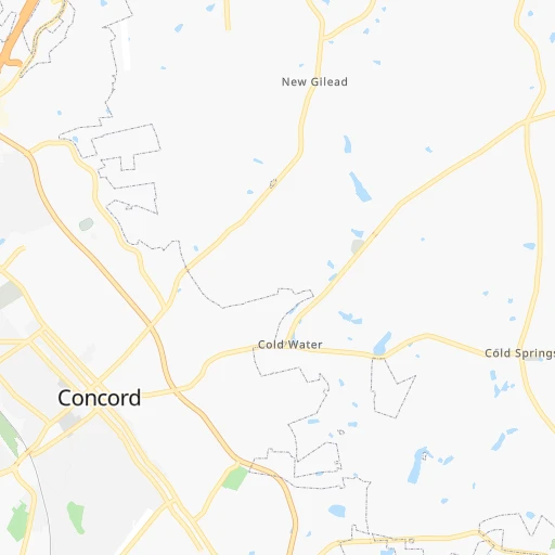
Roadmap (route) to go from LZ Carroll Airport to Wilson detailed above, you can also see the course layout on the map.
While doing trip LZ Carroll (airport) - Wilson by car, the calculated route ends at a distance , or more straight.
Distance and duration of the route between LZ Carroll (airport) and Wilson
Calculation of distance and route from Wilson to LZ Carroll (airport) :
221.5242.8 km3h4mn
Continue 0h1mn 366 mTurn left onto Gold Hill Road East 0h1mn 927 mTurn right onto NC 49 1h43mn 54.2 kmKeep right onto NC 49 1h46mn 56.4 kmKeep right onto US 64 BUS and take US 64 Business toward Pittsboro 0h1mn 856 mContinue onto US 64 BUS 0h4mn 4.8 kmAt roundabout, take exit 2 onto East Street 0h4mn 4.4 kmKeep right onto US 64 BUS 0h23mn 31.3 kmKeep right onto Tryon Road 0h8mn 8.5 kmTurn left onto Gorman Street 0h0mn 208 mTurn right 0h6mn 9.6 kmKeep left onto I 87, I 440, US 64 and take I 87 North, I 440 East, US 64 East toward Rocky Mount 0h3mn 4.5 kmKeep right onto I 87, US 64 and take I 87 North, US 64 East, US 264 East toward Rocky Mount, Wilson, Greenville 0h16mn 27.6 kmKeep right onto US 264 0h15mn 26.2 kmKeep right 0h1mn 629 mTurn right onto US 264 Alternate 0h0mn 15 mTurn left onto US 264 Alternate 0h11mn 12.4 kmTurn left onto Goldsboro Street Southwest 0h0mn 13 mArrive at destination 0h0mn 0 m
Travel from LZ Carroll (airport) (North Carolina) to a selection of major cities.
Distances from LZ Carroll Airport to biggest cities in North Carolina
- Kannapolis,46,144 inhabitants.26 km
- Apex,45,585 inhabitants.139 km
- Hickory,40,374 inhabitants.96 km
- Wake Forest,38,199 inhabitants.176 km
- Indian Trail,37,073 inhabitants.51 km
- Mooresville,36,009 inhabitants.45 km
- Goldsboro,35,826 inhabitants.213 km
- Monroe,34,623 inhabitants.55 km
- Salisbury,34,017 inhabitants.27 km
- Holly Springs,31,377 inhabitants.139 km
- Matthews,30,678 inhabitants.51 km
- New Bern,30,070 inhabitants.302 km
- Fort Bragg,29,183 inhabitants.126 km
- Sanford,29,144 inhabitants.106 km
- Cornelius,28,092 inhabitants.47 km
- Garner,28,053 inhabitants.159 km
- Thomasville,27,061 inhabitants.54 km
- Statesville,26,221 inhabitants.62 km
- Asheboro,26,103 inhabitants.56 km
- Mint Hill,25,627 inhabitants.41 km
Other major cities in country :
- Seattle [WA], 684,451 inhabitants. 3,698 km
- Denver [CO], 682,545 inhabitants. 2,218 km
- El Paso [TX], 681,124 inhabitants. 2,451 km
- Detroit [MI], 677,116 inhabitants. 801 km
- Boston [MA], 667,137 inhabitants. 1,112 km
- Memphis [TN], 655,770 inhabitants. 882 km
- New South Memphis [TN], 641,608 inhabitants. 883 km
- Portland [OR], 632,309 inhabitants. 3,707 km
- Oklahoma City [OK], 631,346 inhabitants. 1,555 km
- Las Vegas [NV], 623,747 inhabitants. 3,125 km
- Baltimore [MD], 621,849 inhabitants. 540 km
- Washington, D.C. [DC], 601,723 inhabitants. 483 km
- Milwaukee [WI], 600,155 inhabitants. 1,066 km
- South Boston [MA], 571,281 inhabitants. 1,110 km
- Albuquerque [NM], 559,121 inhabitants. 2,384 km
- Tucson [AZ], 531,641 inhabitants. 2,839 km
- Nashville [TN], 530,852 inhabitants. 587 km
- Fresno [CA], 520,052 inhabitants. 3,524 km
- Sacramento [CA], 490,712 inhabitants. 3,644 km
- Kansas City [MO], 475,378 inhabitants. 1,323 km
Route from Wilson to major cities (United States).
- Distance Wilson New York City652 km
- Distance Wilson Los Angeles3,661 km
- Distance Wilson Chicago1,085 km
- Distance Wilson Brooklyn649 km
- Distance Wilson Houston1,760 km
- Distance Wilson Queens657 km
- Distance Wilson Philadelphia529 km
- Distance Wilson Phoenix3,125 km
- Distance Wilson Manhattan661 km
- Distance Wilson San Antonio2,049 km
- Distance Wilson San Diego3,604 km
- Distance Wilson The Bronx671 km
- Distance Wilson Dallas1,766 km
- Distance Wilson San Jose3,902 km
- Distance Wilson Austin1,944 km
- Distance Wilson Jacksonville694 km
- Distance Wilson San Francisco3,939 km
- Distance Wilson Columbus650 km
- Distance Wilson Fort Worth1,814 km
- Distance Wilson Indianapolis853 km
Nearest cities to LZ Carroll (airport) :
- Charlotte, 827,097 inhabitants. 52 km
- Raleigh, 451,066 inhabitants. 158 km
- West Raleigh, 338,759 inhabitants. 157 km
- Meads, 288,649 inhabitants. 391 km
- Greensboro, 285,342 inhabitants. 85 km
- Durham, 257,636 inhabitants. 144 km
- Winston-Salem, 241,218 inhabitants. 73 km
- Richmond, 220,289 inhabitants. 349 km
- Fayetteville, 201,963 inhabitants. 140 km
- Cary, 159,769 inhabitants. 146 km
- Columbia, 133,803 inhabitants. 173 km
- Charleston, 132,609 inhabitants. 300 km
- Wilmington, 115,933 inhabitants. 258 km
- High Point, 110,268 inhabitants. 64 km
- North Charleston, 108,304 inhabitants. 291 km
- Roanoke, 99,897 inhabitants. 206 km
- Greenville, 90,597 inhabitants. 270 km
- Asheville, 88,512 inhabitants. 201 km
- Concord, 87,696 inhabitants. 22 km
- Mount Pleasant, 81,317 inhabitants. 299 km
- Lynchburg, 79,812 inhabitants. 244 km
- Gastonia, 74,543 inhabitants. 79 km
- Rock Hill, 71,548 inhabitants. 85 km
- Jacksonville, 67,357 inhabitants. 276 km
- Johnson City, 66,027 inhabitants. 205 km
- West Lynchburg, 65,517 inhabitants. 241 km
- Greenville, 64,579 inhabitants. 198 km
- Chapel Hill, 59,568 inhabitants. 127 km
- Rocky Mount, 55,806 inhabitants. 237 km
- Kingsport, 53,014 inhabitants. 234 km
- Huntersville, 52,704 inhabitants. 45 km
- Burlington, 52,472 inhabitants. 109 km
- Charleston, 49,736 inhabitants. 343 km
- Wilson, 49,643 inhabitants. 222 km
- Summerville, 48,848 inhabitants. 271 km
- Huntington, 48,638 inhabitants. 380 km
- Charlottesville, 46,597 inhabitants. 332 km
- Kannapolis, 46,144 inhabitants. 26 km
- Apex, 45,585 inhabitants. 139 km
- Tuckahoe, 44,990 inhabitants. 345 km
- Blacksburg, 44,215 inhabitants. 198 km
- Augusta, 43,459 inhabitants. 266 km
- Danville, 42,082 inhabitants. 153 km
- Sumter, 40,816 inhabitants. 170 km
- Goose Creek, 40,633 inhabitants. 276 km
- Hickory, 40,374 inhabitants. 96 km
- Florence, 38,228 inhabitants. 149 km
- Wake Forest, 38,199 inhabitants. 176 km
- Spartanburg, 37,867 inhabitants. 155 km
- Indian Trail, 37,073 inhabitants. 51 km
Location LZ Carroll (airport) (North Carolina) :
| Country flag |  |
| Location | LZ Carroll (airport) |
| State | North Carolina |
| County | Cabarrus County |
| Country | United States |
| Country code / ISO 2 | US |
| Latitude | 35.4489100 |
| Longitude | -80.3439700 |
| Altitude | 206 meters |
| Time zone | America/New_York |
Location Wilson (North Carolina) :
| Country flag | |
| Location | Wilson |
| State | North Carolina |
| County | Wilson County |
| Country | United States |
| Country code / ISO 2 | US |
| Latitude | 35.7212700 |
| Longitude | -77.9155400 |
| Altitude | 33 meters |
| Time zone | America/New_York |


