


How to get from Michael Pfister (airport) (Illinois) to Kenosha (Wisconsin)
Calculate route from Michael Pfister (airport) (Illinois, United States) to Kenosha (Wisconsin, United States).
The flight distance (as the crow flies) between Michael Pfister (airport) and Kenosha is 233.5 km.
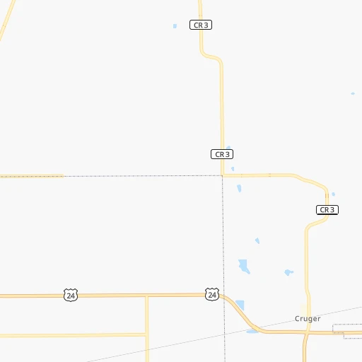
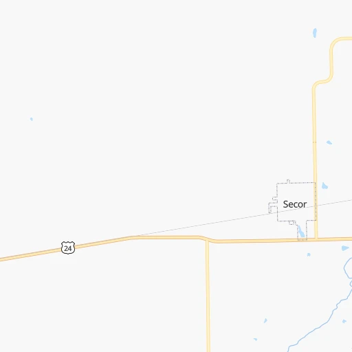
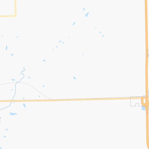
Roadmap (route) to go from Michael Pfister Airport to Kenosha detailed above, you can also see the course layout on the map.
While doing trip Michael Pfister (airport) - Kenosha by car, the calculated route ends at a distance , or more straight.
Distance and duration of the route between Michael Pfister (airport) and Kenosha
Calculation of distance and route from Kenosha to Michael Pfister (airport) :
233.5288.9 km4h42mn
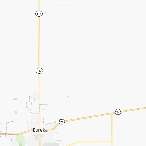
Continue onto County Road 1300 North 0h4mn 2.2 kmTurn left onto County Road 1600 East 0h3mn 1.6 kmTurn right onto County Road 1400 North 0h12mn 11.7 kmTurn right onto County Road 1800 North 0h10mn 9.6 kmTurn left onto IL 116, IL 251 0h2mn 1.6 kmTurn right onto County Road 1900 North 1h30mn 30.4 kmKeep left 1h20mn 128.9 kmContinue onto Adlai Stevenson Expressway 0h0mn 221 mKeep right and take I 294 Tollway North toward Wisconsin 0h2mn 2.4 kmKeep left and take I 294 North toward Wisconsin 0h6mn 8.4 kmContinue onto Tri-State Tollway 0h4mn 6.1 kmContinue onto Tri-State Tollway 1h34mn 49.2 kmKeep right and take IL 137 toward Buckley Road 0h0mn 469 mKeep right and drive toward Rosalind Franklin University, Buckley Road, North Chicago, Naval Station, Captain James A. Lovell Health Center 0h1mn 952 mTurn sharp left onto North Waukegan Road 0h1mn 1.2 kmTurn slight right onto South Waukegan Road 0h5mn 5.4 kmKeep right and take IL 132 toward Grand Avenue, Grandville Avenue 0h0mn 281 mKeep right and take IL 132 toward Grandville Avenue 0h0mn 56 mTurn sharp right onto Grand Avenue 0h1mn 1.2 kmTurn sharp left onto North Green Bay Road 0h6mn 6.6 kmTurn slight right onto North Green Bay Road 0h2mn 1.8 kmTurn right onto North Kenosha Road 0h3mn 2.3 kmTurn right onto Rosecrans Road 0h1mn 974 mTurn left onto Lewis Avenue 0h6mn 6.4 kmAt roundabout, take exit 2 onto 39th Avenue 0h1mn 658 mAt roundabout, take exit 1 onto Springbrook Road 0h3mn 2.2 kmTurn right onto 91st Street 0h1mn 818 mTurn left onto Sheridan Road 0h5mn 5.0 kmTurn right onto 56th Street 0h0mn 94 mMake a U-turn onto 56th Street 0h0mn 33 mArrive at destination 0h0mn 0 m
Travel from Michael Pfister (airport) (Wisconsin) to a selection of major cities.
Distances from Michael Pfister Airport to biggest cities in Illinois
- South Lawndale,73,826 inhabitants.176 km
- Logan Square,73,702 inhabitants.182 km
- Decatur,73,254 inhabitants.108 km
- West Ridge,72,211 inhabitants.189 km
- Palatine,69,308 inhabitants.180 km
- Lincoln Park,66,959 inhabitants.185 km
- Portage Park,64,841 inhabitants.181 km
- Skokie,64,821 inhabitants.189 km
- Des Plaines,58,677 inhabitants.181 km
- Orland Park,58,619 inhabitants.151 km
- Tinley Park,57,143 inhabitants.152 km
- Oak Lawn,56,781 inhabitants.163 km
- Irving Park,56,520 inhabitants.182 km
- Berwyn,56,368 inhabitants.171 km
- Chicago Lawn,55,551 inhabitants.172 km
- Uptown,55,137 inhabitants.188 km
- Edgewater,54,873 inhabitants.189 km
- Mount Prospect,54,747 inhabitants.181 km
- Rogers Park,54,402 inhabitants.191 km
- Normal,54,373 inhabitants.37 km
Other major cities in country :
- Seattle [WA], 684,451 inhabitants. 2,724 km
- Denver [CO], 682,545 inhabitants. 1,339 km
- El Paso [TX], 681,124 inhabitants. 1,838 km
- Detroit [MI], 677,116 inhabitants. 546 km
- Boston [MA], 667,137 inhabitants. 1,523 km
- Memphis [TN], 655,770 inhabitants. 630 km
- New South Memphis [TN], 641,608 inhabitants. 638 km
- Portland [OR], 632,309 inhabitants. 2,744 km
- Oklahoma City [OK], 631,346 inhabitants. 933 km
- Las Vegas [NV], 623,747 inhabitants. 2,304 km
- Baltimore [MD], 621,849 inhabitants. 1,090 km
- Washington, D.C. [DC], 601,723 inhabitants. 1,065 km
- Milwaukee [WI], 600,155 inhabitants. 275 km
- South Boston [MA], 571,281 inhabitants. 1,524 km
- Albuquerque [NM], 559,121 inhabitants. 1,650 km
- Tucson [AZ], 531,641 inhabitants. 2,152 km
- Nashville [TN], 530,852 inhabitants. 557 km
- Fresno [CA], 520,052 inhabitants. 2,672 km
- Sacramento [CA], 490,712 inhabitants. 2,757 km
- Kansas City [MO], 475,378 inhabitants. 491 km
Route from Kenosha to major cities (United States).
- Distance Kenosha New York City1,166 km
- Distance Kenosha Los Angeles2,804 km
- Distance Kenosha Chicago83 km
- Distance Kenosha Brooklyn1,173 km
- Distance Kenosha Houston1,578 km
- Distance Kenosha Queens1,181 km
- Distance Kenosha Philadelphia1,098 km
- Distance Kenosha Phoenix2,346 km
- Distance Kenosha Manhattan1,168 km
- Distance Kenosha San Antonio1,749 km
- Distance Kenosha San Diego2,792 km
- Distance Kenosha The Bronx1,174 km
- Distance Kenosha Dallas1,346 km
- Distance Kenosha San Jose2,945 km
- Distance Kenosha Austin1,631 km
- Distance Kenosha Jacksonville1,470 km
- Distance Kenosha San Francisco2,970 km
- Distance Kenosha Columbus498 km
- Distance Kenosha Fort Worth1,378 km
- Distance Kenosha Indianapolis343 km
Nearest cities to Michael Pfister (airport) :
- Chicago, 2,720,546 inhabitants. 180 km
- Milwaukee, 600,155 inhabitants. 275 km
- St. Louis, 315,685 inhabitants. 253 km
- Madison, 248,951 inhabitants. 256 km
- Aurora, 200,661 inhabitants. 135 km
- Rockford, 148,278 inhabitants. 167 km
- Joliet, 147,861 inhabitants. 129 km
- Naperville, 147,100 inhabitants. 146 km
- Cedar Rapids, 130,405 inhabitants. 241 km
- Evansville, 119,943 inhabitants. 345 km
- Springfield, 116,565 inhabitants. 114 km
- Peoria, 115,070 inhabitants. 29 km
- North Peoria, 113,004 inhabitants. 28 km
- Elgin, 112,111 inhabitants. 162 km
- Davenport, 102,582 inhabitants. 138 km
- Kenosha, 99,858 inhabitants. 234 km
- Waukegan, 88,475 inhabitants. 212 km
- West Town, 86,429 inhabitants. 182 km
- Champaign, 86,096 inhabitants. 113 km
- Near North Side, 85,711 inhabitants. 185 km
- O'Fallon, 85,040 inhabitants. 251 km
- Bloomington, 84,067 inhabitants. 294 km
- Cicero, 83,886 inhabitants. 173 km
- Belmont Cragin, 79,159 inhabitants. 179 km
- Bloomington, 78,292 inhabitants. 40 km
- Racine, 77,742 inhabitants. 249 km
- Hammond, 77,614 inhabitants. 173 km
- Gary, 77,156 inhabitants. 184 km
- Arlington Heights, 75,926 inhabitants. 181 km
- Evanston, 75,527 inhabitants. 192 km
- Schaumburg, 74,693 inhabitants. 171 km
- Bolingbrook, 74,306 inhabitants. 143 km
- Iowa City, 74,220 inhabitants. 214 km
- South Lawndale, 73,826 inhabitants. 176 km
- Logan Square, 73,702 inhabitants. 182 km
- Decatur, 73,254 inhabitants. 108 km
- West Ridge, 72,211 inhabitants. 189 km
- Waukesha, 71,970 inhabitants. 263 km
- Lafayette, 71,111 inhabitants. 206 km
- Palatine, 69,308 inhabitants. 180 km
- Lincoln Park, 66,959 inhabitants. 185 km
- Saint Charles, 65,794 inhabitants. 245 km
- Portage Park, 64,841 inhabitants. 181 km
- Skokie, 64,821 inhabitants. 189 km
- Janesville, 64,123 inhabitants. 213 km
- Terre Haute, 60,825 inhabitants. 215 km
- West Allis, 60,620 inhabitants. 270 km
- Dubuque, 58,799 inhabitants. 224 km
- Des Plaines, 58,677 inhabitants. 181 km
- Orland Park, 58,619 inhabitants. 151 km
Location Michael Pfister (airport) (Illinois) :
| Country flag |  |
| Location | Michael Pfister (airport) |
| State | Illinois |
| County | Woodford County |
| Country | United States |
| Country code / ISO 2 | US |
| Latitude | 40.7792700 |
| Longitude | -89.2610600 |
| Altitude | 244 meters |
| Time zone | America/Chicago |
Location Kenosha (Wisconsin) :
| Country flag | |
| Location | Kenosha |
| State | Wisconsin |
| County | Kenosha County |
| Country | United States |
| Country code / ISO 2 | US |
| Latitude | 42.5847400 |
| Longitude | -87.8211900 |
| Altitude | 184 meters |
| Time zone | America/Chicago |