
How to get from Bickel's Cow Patch (airport) (Indiana) to Muncie (Indiana)
Calculate route from Bickel's Cow Patch (airport) (Indiana, United States) to Muncie (Indiana, United States).
The flight distance (as the crow flies) between Bickel's Cow Patch (airport) and Muncie is 154.2 km.
Roadmap (route) to go from Bickel's Cow Patch Airport to Muncie detailed above, you can also see the course layout on the map.
While doing trip Bickel's Cow Patch (airport) - Muncie by car, the calculated route ends at a distance , or more straight.
Distance and duration of the route between Bickel's Cow Patch (airport) and Muncie
Calculation of distance and route from Muncie to Bickel's Cow Patch (airport) :
154.2186.3 km3h59mn
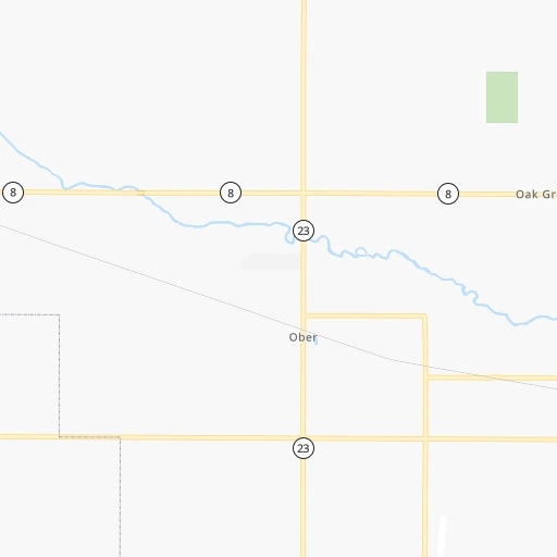
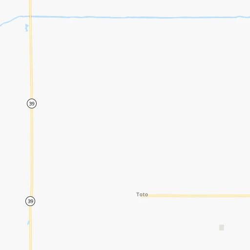
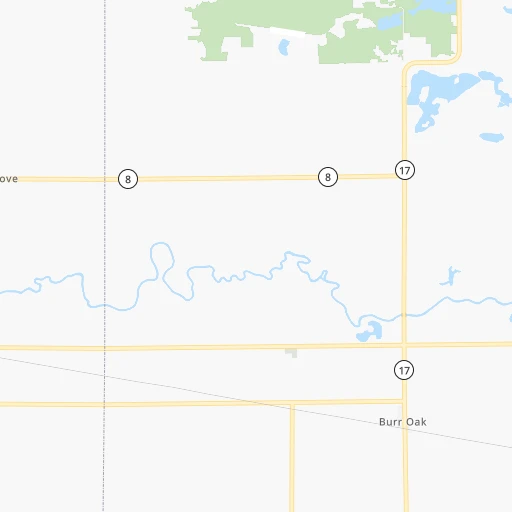
Continue 0h0mn 37 mTurn right 0h0mn 150 mTurn left onto East Toto Road 0h3mn 2.4 kmTurn right onto South 900 East 0h3mn 3.2 kmTurn left onto East 500 South 0h7mn 7.8 kmTurn right onto SR 17 0h9mn 9.4 kmTurn left onto West Olson Road 0h7mn 5.6 kmTurn right onto North 700 West 0h1mn 512 mTurn left onto West 400 North 0h15mn 12.6 kmTurn right onto US 31 0h17mn 23.7 kmTurn left onto West 1000 North 0h18mn 22.8 kmTurn right onto County Road 500 West 0h14mn 14.8 kmTurn left onto West Canal Street 0h0mn 290 mTurn right onto South Wabash Street 0h26mn 28.3 kmTurn right onto North Baldwin Avenue 0h6mn 5.9 kmTurn left onto West 38th Street 0h1mn 1.3 kmTurn right onto South Adams Street 0h6mn 6.1 kmTurn left onto East 10th Street 0h0mn 111 mTurn right onto Muncie Pike 0h2mn 1.5 kmTurn left onto Wheeling Pike 0h17mn 14.5 kmContinue onto South Wheeling Pike 0h6mn 4.8 kmTurn right onto Wheeling Avenue 0h20mn 20.3 kmTurn left onto West Washington Street 0h0mn 97 mTurn right onto North Walnut Street 0h0mn 130 mArrive at destination 0h0mn 0 m
Travel from Bickel's Cow Patch (airport) (Indiana) to a selection of major cities.
Distances from Bickel's Cow Patch Airport to biggest cities in Indiana
- Columbus,46,690 inhabitants.236 km
- West Lafayette,45,550 inhabitants.98 km
- Portage,36,738 inhabitants.63 km
- Westfield,36,738 inhabitants.140 km
- New Albany,36,732 inhabitants.337 km
- Richmond,35,854 inhabitants.213 km
- Merrillville,35,224 inhabitants.70 km
- Goshen,32,983 inhabitants.70 km
- Valparaiso,32,626 inhabitants.48 km
- Michigan City,31,459 inhabitants.57 km
- Plainfield,30,590 inhabitants.174 km
- Granger,30,465 inhabitants.66 km
- Marion,29,081 inhabitants.109 km
- Crown Point,28,879 inhabitants.70 km
- Schererville,28,791 inhabitants.79 km
- East Chicago,28,699 inhabitants.86 km
- Hobart,28,404 inhabitants.66 km
- Zionsville,26,296 inhabitants.148 km
- Brownsburg,24,996 inhabitants.159 km
- Franklin,24,598 inhabitants.203 km
Other major cities in country :
- Seattle [WA], 684,451 inhabitants. 2,902 km
- Denver [CO], 682,545 inhabitants. 1,566 km
- El Paso [TX], 681,124 inhabitants. 2,066 km
- Detroit [MI], 677,116 inhabitants. 314 km
- Boston [MA], 667,137 inhabitants. 1,290 km
- Memphis [TN], 655,770 inhabitants. 746 km
- New South Memphis [TN], 641,608 inhabitants. 753 km
- Portland [OR], 632,309 inhabitants. 2,935 km
- Oklahoma City [OK], 631,346 inhabitants. 1,153 km
- Las Vegas [NV], 623,747 inhabitants. 2,534 km
- Baltimore [MD], 621,849 inhabitants. 872 km
- Washington, D.C. [DC], 601,723 inhabitants. 852 km
- Milwaukee [WI], 600,155 inhabitants. 227 km
- South Boston [MA], 571,281 inhabitants. 1,290 km
- Albuquerque [NM], 559,121 inhabitants. 1,883 km
- Tucson [AZ], 531,641 inhabitants. 2,385 km
- Nashville [TN], 530,852 inhabitants. 568 km
- Fresno [CA], 520,052 inhabitants. 2,899 km
- Sacramento [CA], 490,712 inhabitants. 2,978 km
- Kansas City [MO], 475,378 inhabitants. 723 km
Route from Muncie to major cities (United States).
- Distance Muncie New York City965 km
- Distance Muncie Los Angeles2,977 km
- Distance Muncie Chicago265 km
- Distance Muncie Brooklyn970 km
- Distance Muncie Houston1,473 km
- Distance Muncie Queens979 km
- Distance Muncie Philadelphia871 km
- Distance Muncie Phoenix2,483 km
- Distance Muncie Manhattan968 km
- Distance Muncie San Antonio1,691 km
- Distance Muncie San Diego2,947 km
- Distance Muncie The Bronx977 km
- Distance Muncie Dallas1,312 km
- Distance Muncie San Jose3,162 km
- Distance Muncie Austin1,573 km
- Distance Muncie Jacksonville1,149 km
- Distance Muncie San Francisco3,193 km
- Distance Muncie Columbus205 km
- Distance Muncie Fort Worth1,352 km
- Distance Muncie Charlotte682 km
Nearest cities to Bickel's Cow Patch (airport) :
- Chicago, 2,720,546 inhabitants. 112 km
- Indianapolis, 829,718 inhabitants. 170 km
- Milwaukee, 600,155 inhabitants. 227 km
- Cincinnati, 296,943 inhabitants. 294 km
- Toledo, 279,789 inhabitants. 254 km
- Fort Wayne, 260,326 inhabitants. 120 km
- Madison, 248,951 inhabitants. 310 km
- Aurora, 200,661 inhabitants. 157 km
- Grand Rapids, 195,097 inhabitants. 203 km
- Rockford, 148,278 inhabitants. 239 km
- Joliet, 147,861 inhabitants. 131 km
- Naperville, 147,100 inhabitants. 145 km
- Dayton, 140,599 inhabitants. 261 km
- Ann Arbor, 117,070 inhabitants. 259 km
- Lansing, 115,056 inhabitants. 233 km
- Elgin, 112,111 inhabitants. 168 km
- South Bend, 101,516 inhabitants. 53 km
- Kenosha, 99,858 inhabitants. 181 km
- Flint, 98,310 inhabitants. 306 km
- Carmel, 88,713 inhabitants. 148 km
- Waukegan, 88,475 inhabitants. 163 km
- West Town, 86,429 inhabitants. 117 km
- Champaign, 86,096 inhabitants. 191 km
- Near North Side, 85,711 inhabitants. 115 km
- Bloomington, 84,067 inhabitants. 233 km
- Cicero, 83,886 inhabitants. 119 km
- Belmont Cragin, 79,159 inhabitants. 126 km
- Bloomington, 78,292 inhabitants. 223 km
- Racine, 77,742 inhabitants. 192 km
- Hammond, 77,614 inhabitants. 87 km
- Gary, 77,156 inhabitants. 76 km
- Fishers, 76,794 inhabitants. 152 km
- Kalamazoo, 76,041 inhabitants. 140 km
- Arlington Heights, 75,926 inhabitants. 150 km
- Evanston, 75,527 inhabitants. 128 km
- Wyoming, 75,275 inhabitants. 197 km
- Schaumburg, 74,693 inhabitants. 153 km
- Bolingbrook, 74,306 inhabitants. 135 km
- Appleton, 74,139 inhabitants. 367 km
- South Lawndale, 73,826 inhabitants. 116 km
- Logan Square, 73,702 inhabitants. 120 km
- Decatur, 73,254 inhabitants. 257 km
- West Ridge, 72,211 inhabitants. 125 km
- Waukesha, 71,970 inhabitants. 239 km
- Lafayette, 71,111 inhabitants. 98 km
- Muncie, 70,087 inhabitants. 154 km
- Palatine, 69,308 inhabitants. 155 km
- Lincoln Park, 66,959 inhabitants. 117 km
- Oshkosh, 66,555 inhabitants. 348 km
- Portage Park, 64,841 inhabitants. 127 km
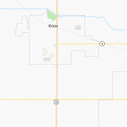
Location Bickel's Cow Patch (airport) (Indiana) :
| Country flag |  |
| Location | Bickel's Cow Patch (airport) |
| State | Indiana |
| County | Starke County |
| Country | United States |
| Country code / ISO 2 | US |
| Latitude | 41.2624000 |
| Longitude | -86.5537600 |
| Altitude | 219 meters |
| Time zone | America/Indiana/Knox |
Location Muncie (Indiana) :
| Country flag | |
| Location | Muncie |
| State | Indiana |
| County | Delaware County |
| Country | United States |
| Country code / ISO 2 | US |
| Latitude | 40.1933800 |
| Longitude | -85.3863600 |
| Altitude | 284 meters |
| Time zone | America/Indiana/Indianapolis |


